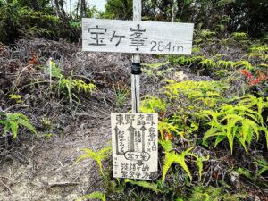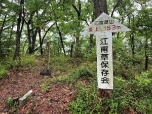
宝ヶ峯 淡路ヶ峠→宝ヶ峯→倉谷山ルート(愛媛県松山市)標高284m
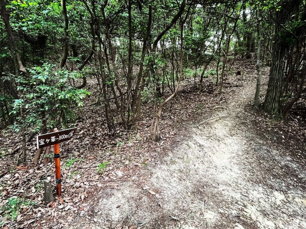
淡路ヶ峠山頂から少し戻り、宝ヶ峯登山口に入ります。
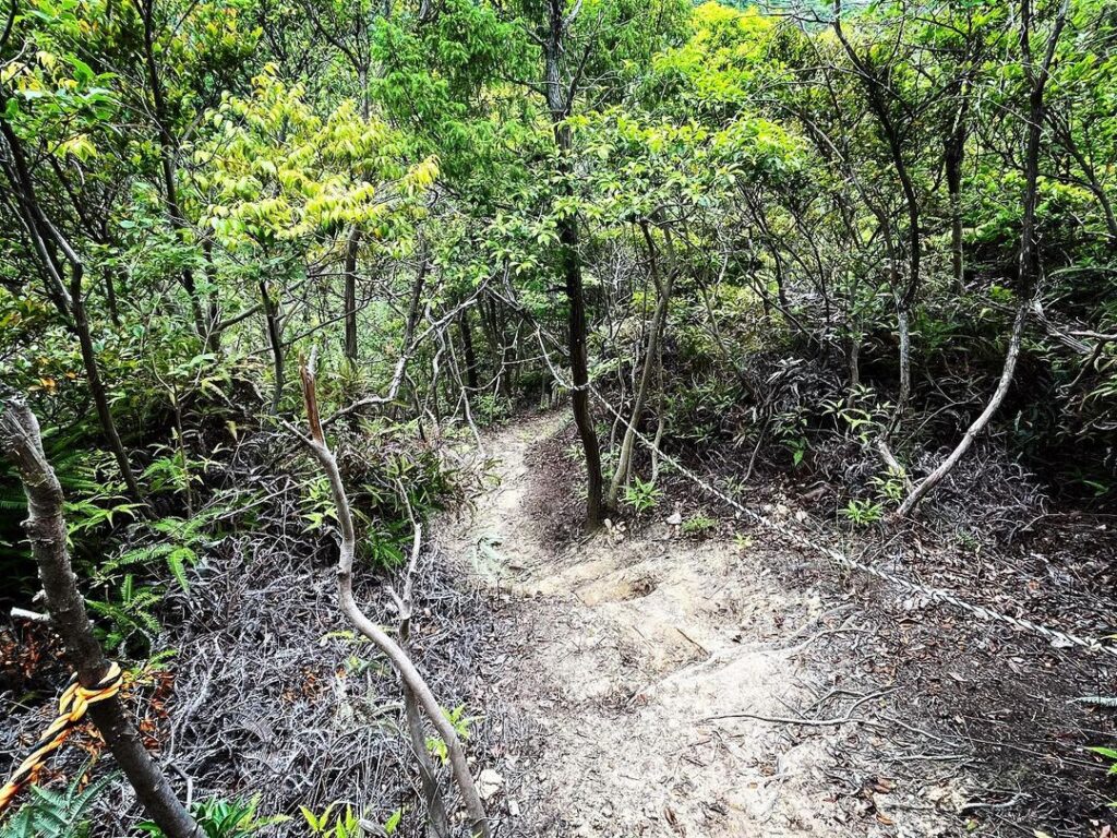
こちらも久しぶりのロープ下山を楽しみます。
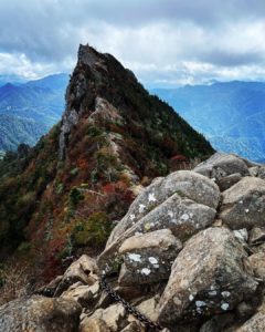
淡路ヶ峠から宝ヶ峯への道は、下り、平坦、登りとあり、木々の景色も移り変わって楽しいですね。
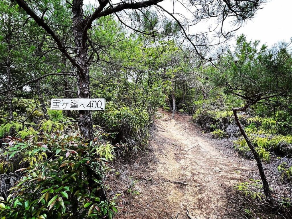
残り400mの案内板が見えたらラストスパート。
こちらも、20分程で登ることができました。
(もちろん速足ペースです)
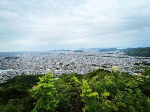
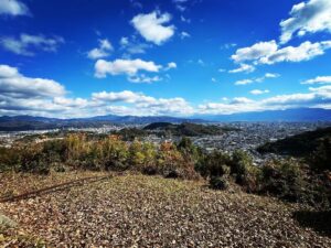
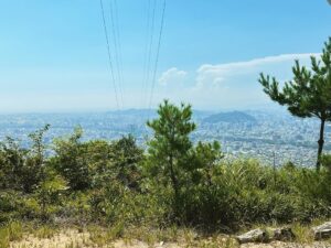
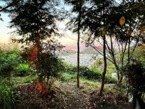
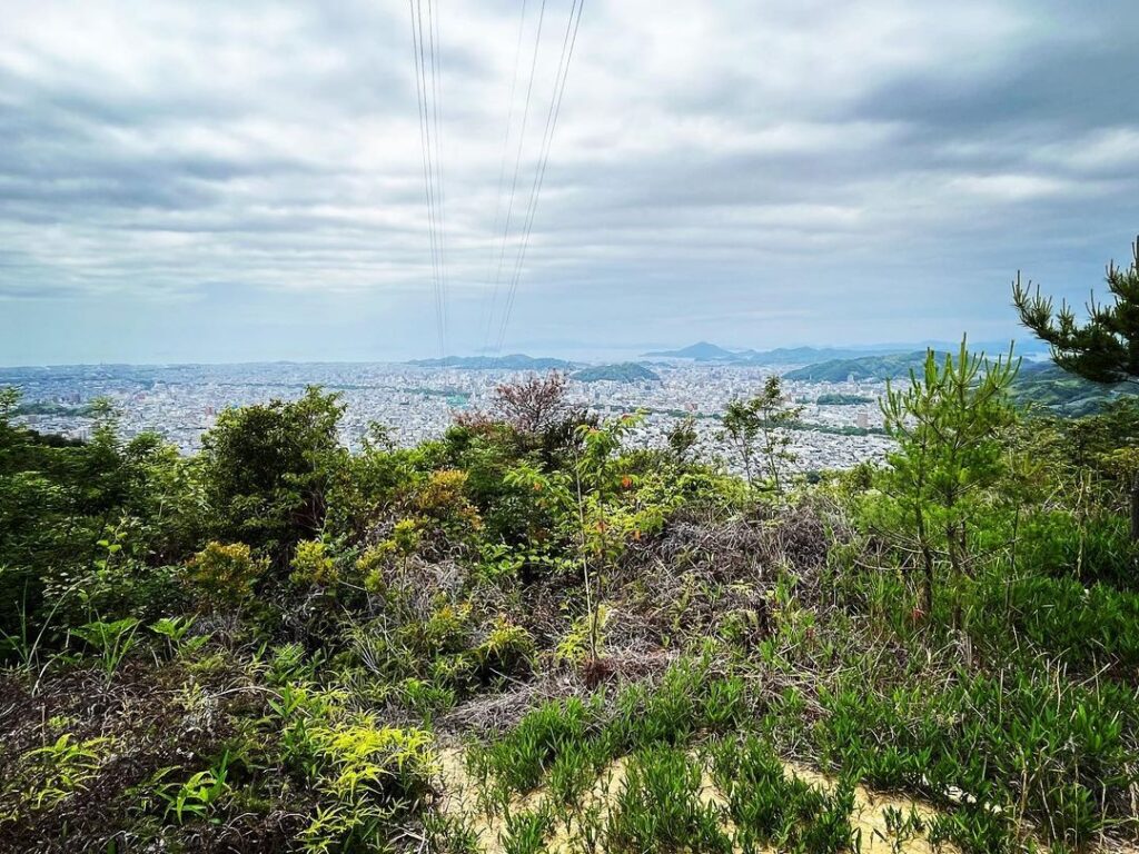
松山城方面の眺望を楽しんだら、今度は下ります。
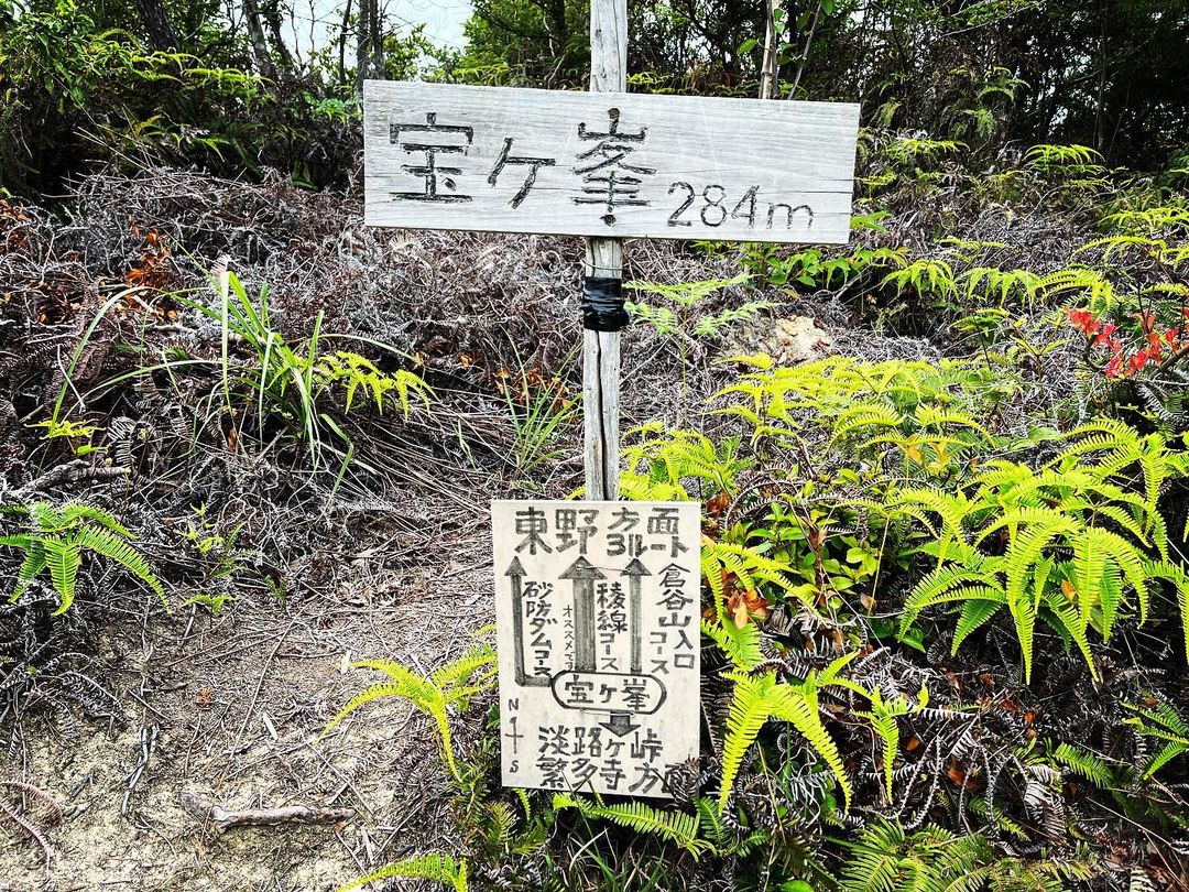
宝ヶ峯から東野方面へのルートは3ルート。
砂防ダムコース、稜線コース、そして倉谷山入口コースです。
今回は、初めての倉谷山入口コースへ。
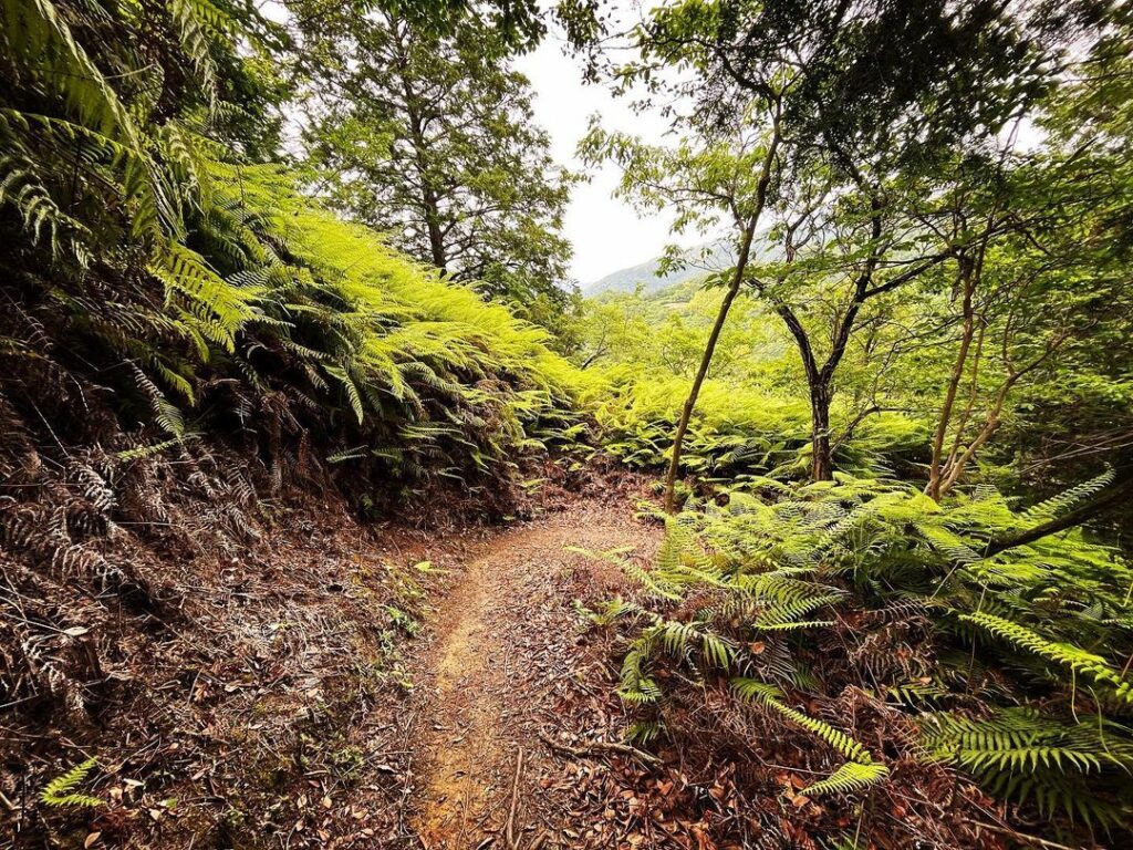
約200mを一気に下っていくコースです。
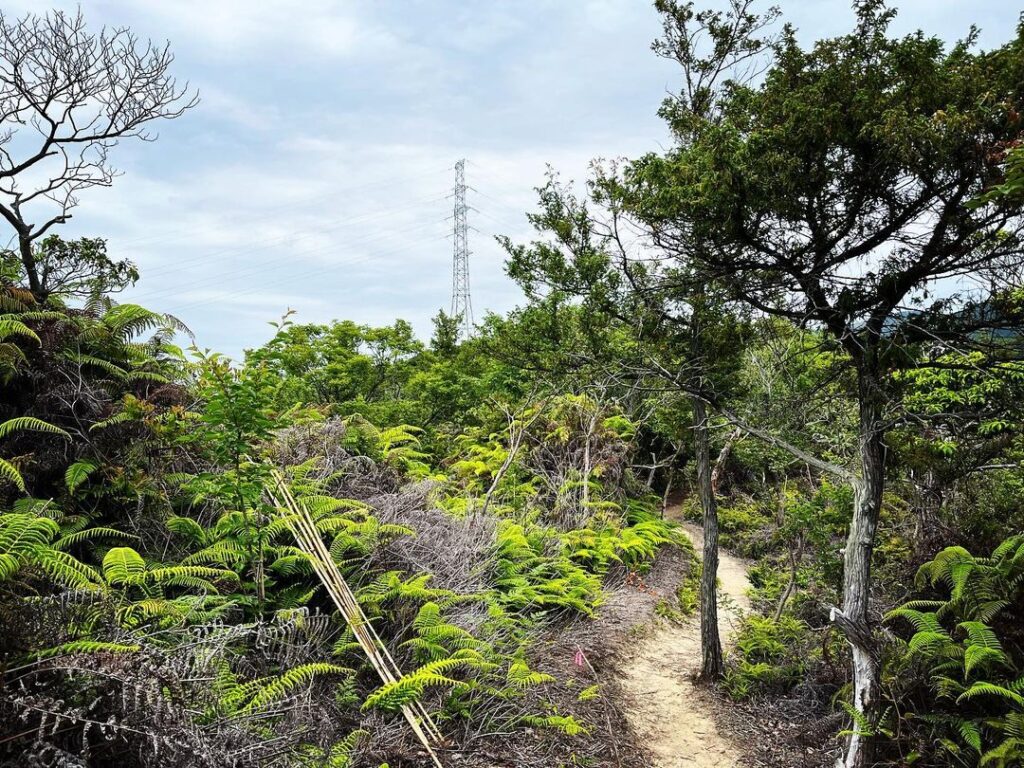
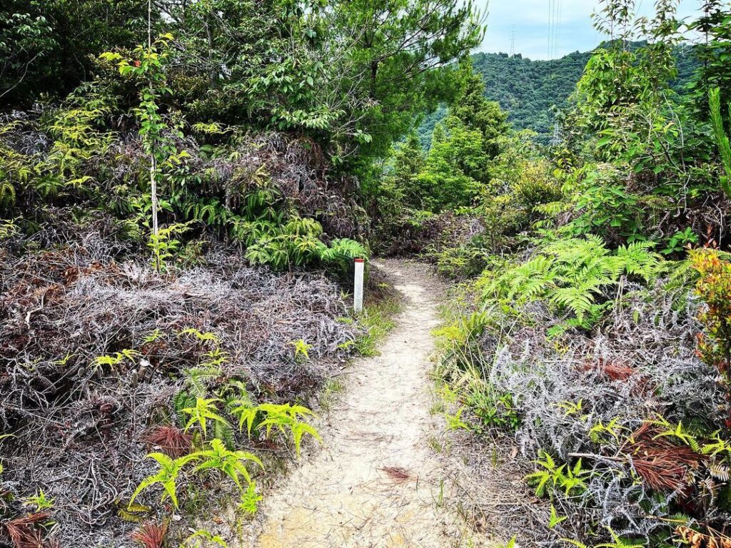
シダ植物が多く、これはこれできれいな遊歩道ですね。
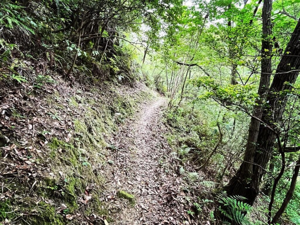
どんどん下っていきます。
#宝ヶ峯
#たからがみね
#標高284m
#淡路ヶ峠
#倉谷山
#電波塔
#愛媛の小山登り
#小屋登り
#愛媛県
#松山市
Return a little from the summit of the Awajiga Pass and enter the Takaragamine trailhead.
Here, too, you can enjoy a rope descent for the first time in a while.
The path from Awajigatoge to Takaragamine has descents, flats and ascents, and the changing scenery of the trees is enjoyable.
When you see the sign with 400 m to go, it’s time for the last spurt.
It took us about 20 minutes to climb this one too.
(At a fast pace, of course).
After enjoying the view towards Matsuyama Castle, it’s time to go down.
There are three routes from Takaragamine to Higashino: the erosion control dam course, the ridge course and the Kuratani mountain entrance course.
This time, we took the Kuragayama Entrance Course for the first time.
This course descends for about 200 m at a stretch.
There are many ferns and this is a beautiful promenade.
It is a beautiful promenade.
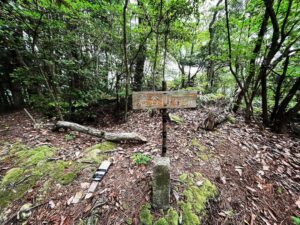
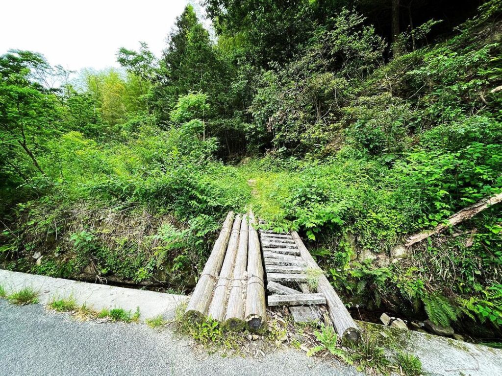
宝ヶ峯の登山口(淡路ヶ峠側)
宝ヶ峯の登山口(倉谷山側)
宝ヶ峯のMAP