大株歩道入口→トロッコ道→辻峠→太鼓岩 屋久島縦走(鹿児島県熊毛郡屋久島町)標高1050m
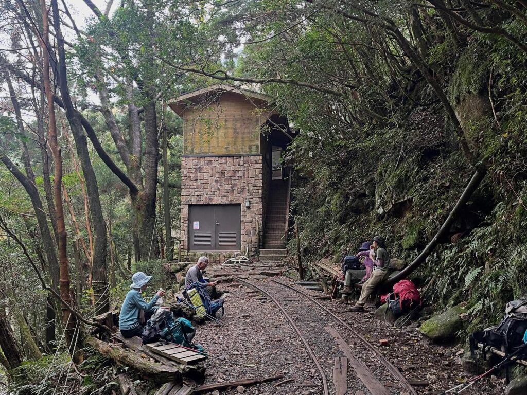
大株歩道入口まで下りてきて、少し休憩。
ちなみに、ここには立派なトイレがあります。
驚くほどきれいで、トイレットペーパーも充実。
久しぶりのきちんとしたトイレ(笑)
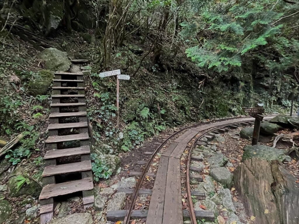
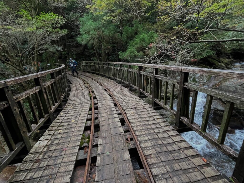
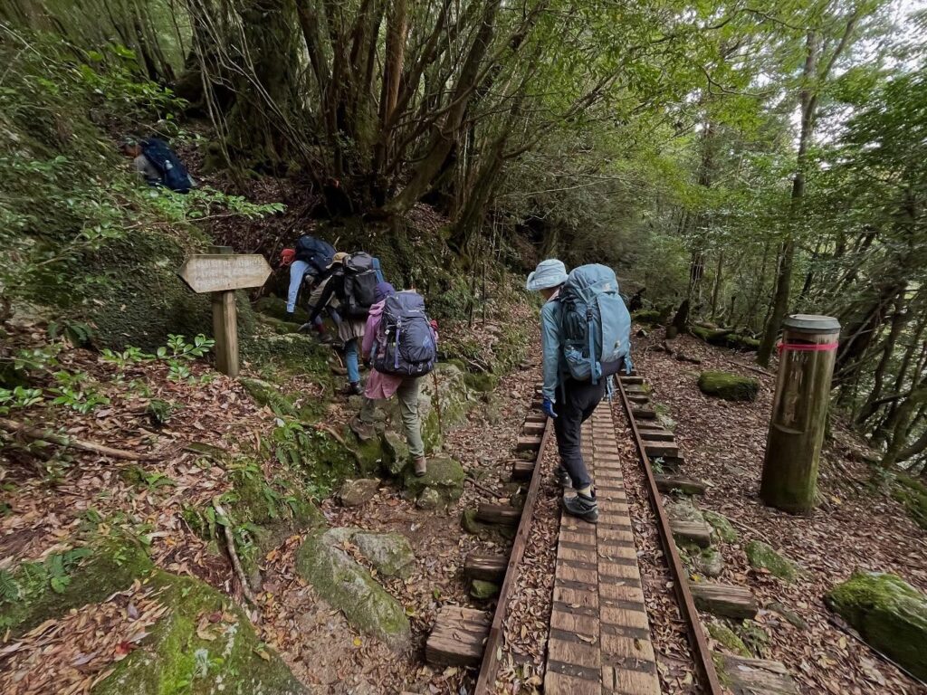
ここからトロッコ道を歩いていきます。
昔は集落もあり、杉を運んでいたトロッコ道。
なんと、今も現役!
「トロッコに会えたらいいね」と言いながら歩いていたら、なんと前方からエンジン音。
トロッコに会うことができました。
線路の補修に来られたようです。
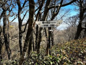
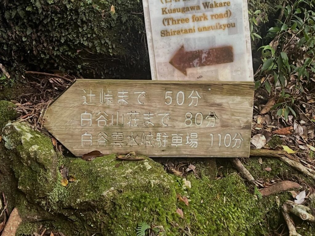
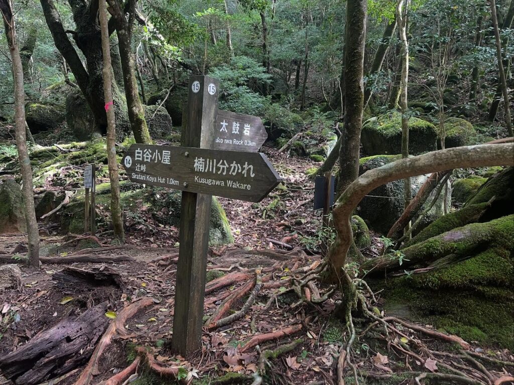
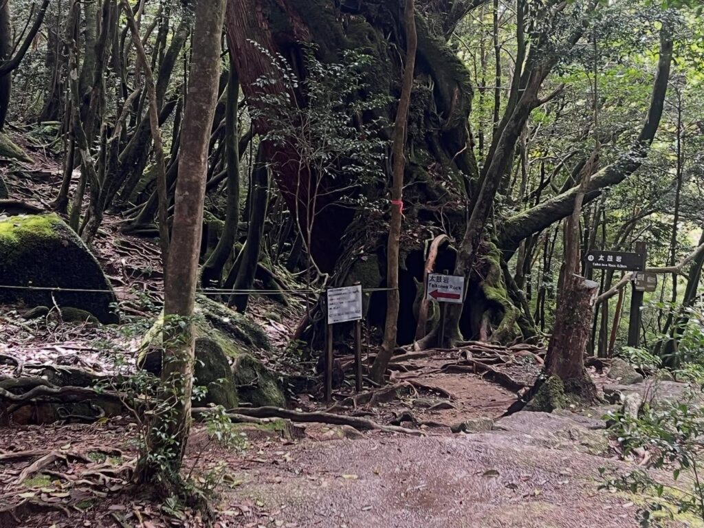
仁王杉を過ぎ、辻峠への分岐点に到着。
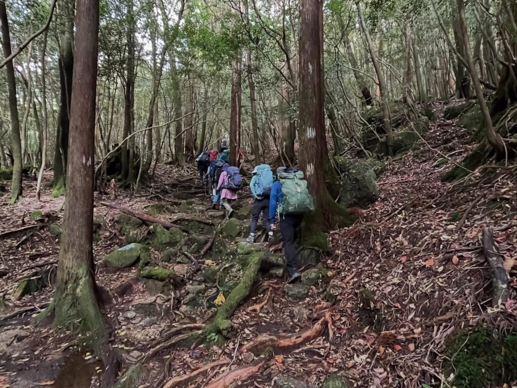
ここから辻峠へ登り返します。
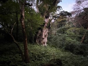
木漏れ日の中、苔の森を登っていくのはとても気持ちがよいですね。
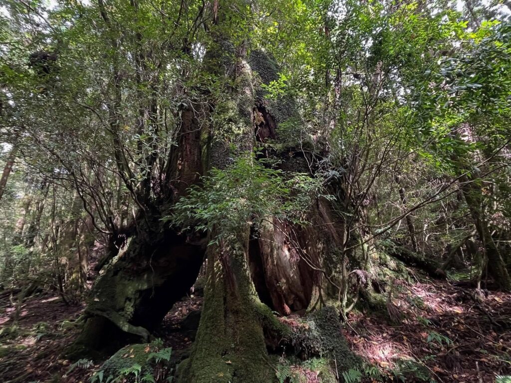
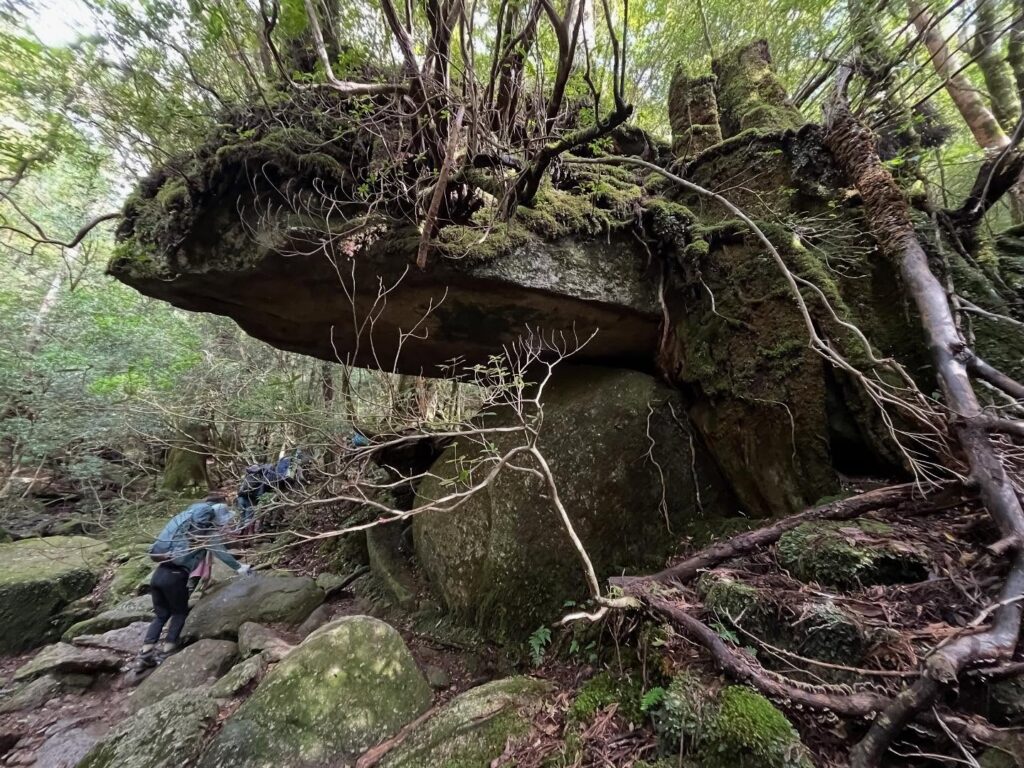
途中で、ものすごい岩が乗っかった場所のありました。
いったい、どうやってできたのでしょうね?
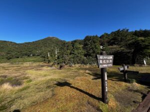
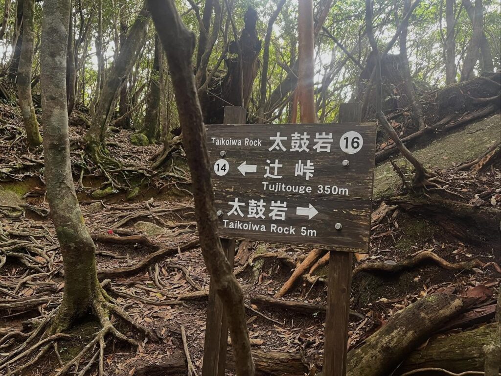
50分程で辻峠に到着。
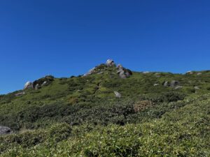
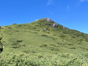
ここからは空荷となり、太鼓岩を目指します。
ザックをおろすと、本当に体が軽い!
それなりに急登なのですが、すいすいと登っていけます。
ちなみに、太鼓山への道は行き帰りが別の一方通行です。
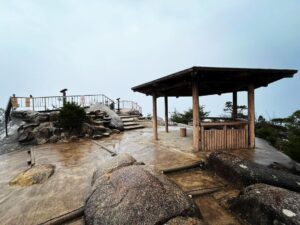
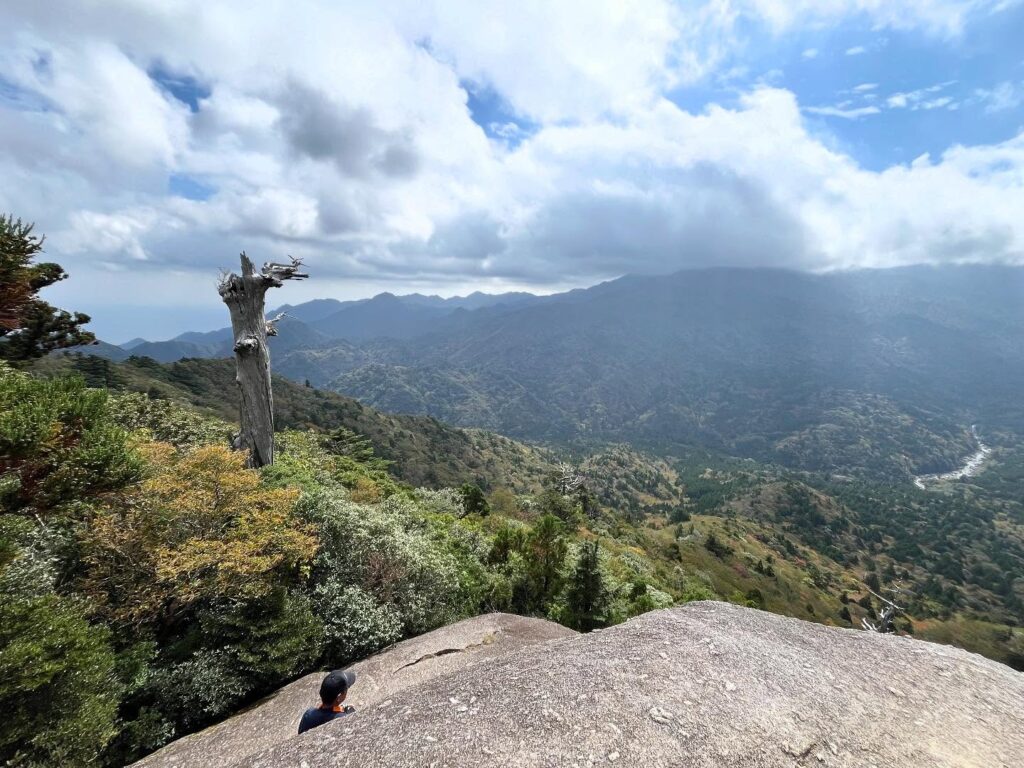
10分弱ほどで太鼓山へ到着。
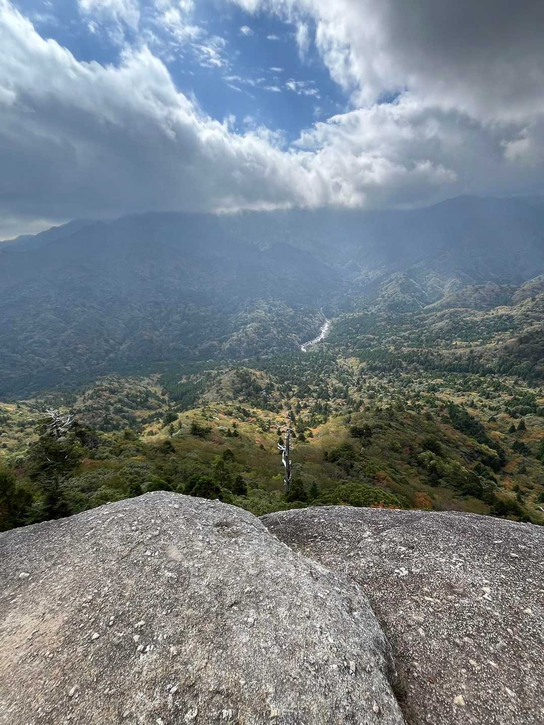
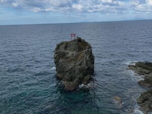
もののけ姫のモロの岩のモデルの一つでもある太鼓山。
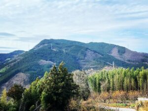
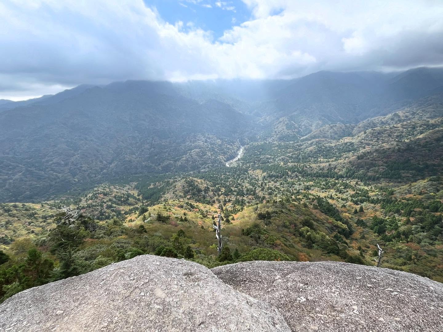
ここからの景色が最高です!
屋久島の山々を一望することができます。
ここは登ってくる価値がありますね。
ちなみに太鼓岩は、その名の通り、岩を叩くと太鼓のような音がするという岩ですが、少し前にひびが入ってしまったので、少し鈍い音になっていました。
それでも、みんな叩いちゃいますよね(笑)
登る場合は午前10時30分までとなっていますので
ご注意ください(ここから縄文杉までが長いのです)
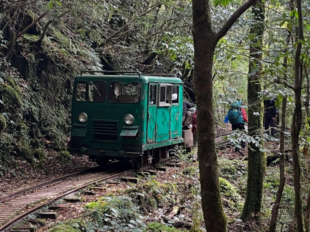
運良く出会うことができました
線路補修で来られていたようです
少しはなれば場所にある「吽形」は台風で倒れてしまったそうです
太鼓岩までの道は一方通行です

少し長めの時間で堪能させていただきました
#辻峠
#つじとうげ
#標高979m
#太鼓岩
#たいこいわ
#標高1050m
#愛媛の小山登り
#小山登り
#鹿児島県
#熊毛郡
#屋久島町
#白谷雲水峡
#もののけ姫
#モロ
#仁王杉
#白谷雲水峡
Descended to the entrance of the Ooshiba Trail and took a short break.
By the way, there’s a splendid restroom here.
Surprisingly clean, with plenty of toilet paper.
A proper restroom for the first time in ages (lol)
From here, we walked along the trolley track.
This was once a trolley track used to transport cedar from the old settlement.
And amazingly, it’s still in use today!
As we walked saying, “Wouldn’t it be nice to see a trolley?”, we heard an engine sound up ahead.
We actually got to see a trolley.
It seemed to be here for track repairs.
Passing the Nio Cedar, we reached the fork for Tsuji Pass.
From here, we climb back up to Tsuji Pass.
Climbing through the mossy forest under the dappled sunlight feels incredibly pleasant.
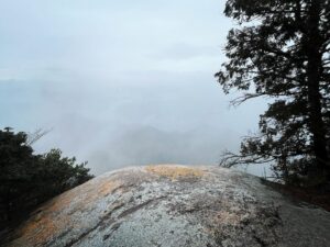
Along the way, we passed a spot with an enormous boulder perched on top.
How on earth did that get there?
We reached Tsuji Pass in about 50 minutes.
From here, we were unburdened and headed for Taiko Rock.
Taking off the backpack made my body feel so light!
It was a fairly steep climb, but we made good progress.
By the way, the path to Taiko Mountain is one-way, with separate routes for going and returning.
We arrived at Taiko Mountain in under 10 minutes.
Taiko Mountain is one of the models for Moro’s rock in Princess Mononoke.
The view from here is incredible!
You can see all the mountains of Yakushima.
This place is definitely worth the climb.
By the way, Taiko Rock, true to its name, is a rock that makes a drum-like sound when struck. However, it cracked a little while ago, so the sound was a bit dull.
Even so, everyone still hits it, right?
大株歩道入口のMAP
辻峠のMAP
太鼓岩のMAP
活動データ(YAMAP)
活動データはYAMAPからご覧ください↓