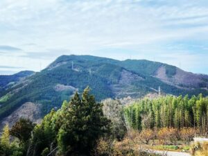
黒岩岳 中山町の整備された杉山(愛媛県伊予市)標高698m
黒岩山浅草観音から分岐点に戻り、黒岩岳山頂を目指します。
(ここまでの道は下記をご覧ください)
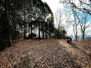
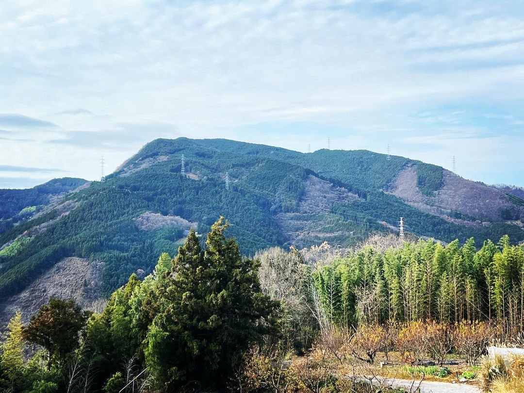
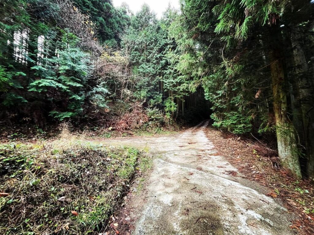
しばらくクネクネ道を進むと、道のピークがあります。
ここから山頂付近が見えており、杉木林への道に入れます。
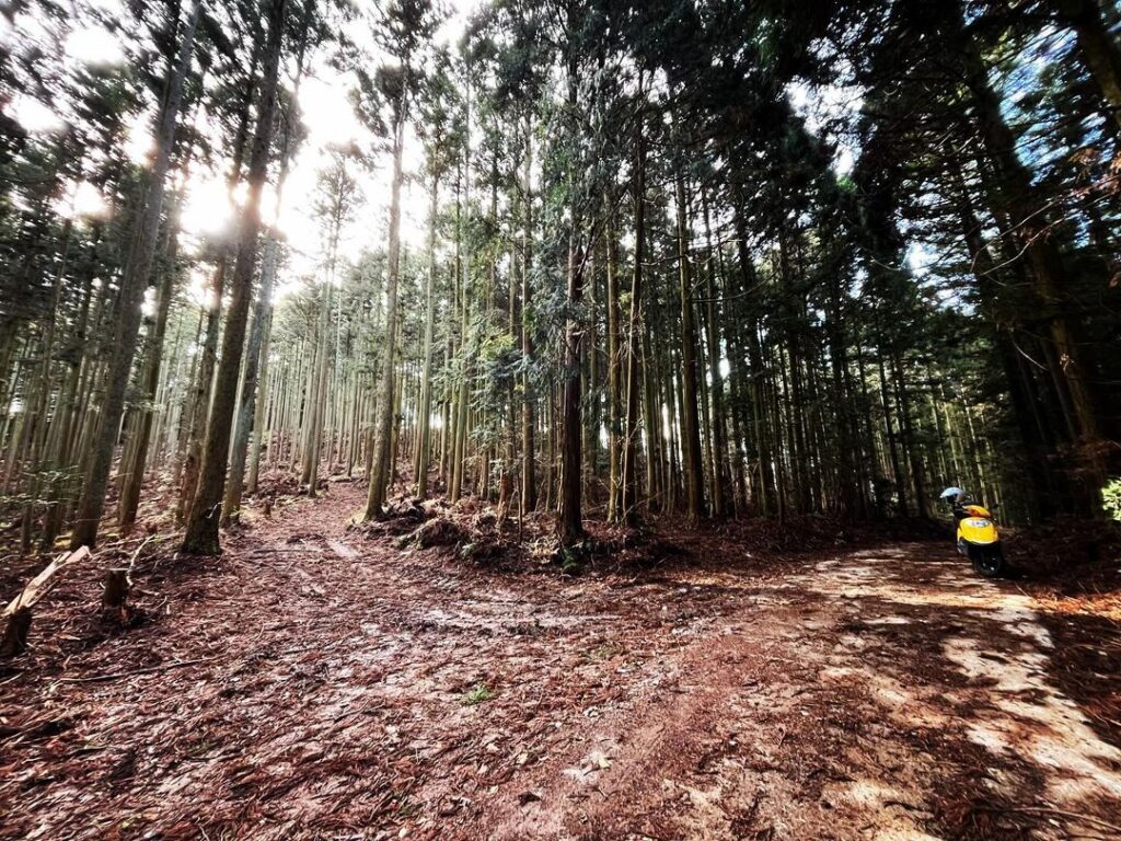
ここからは歩きです。
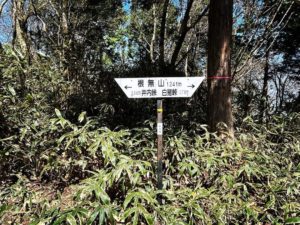
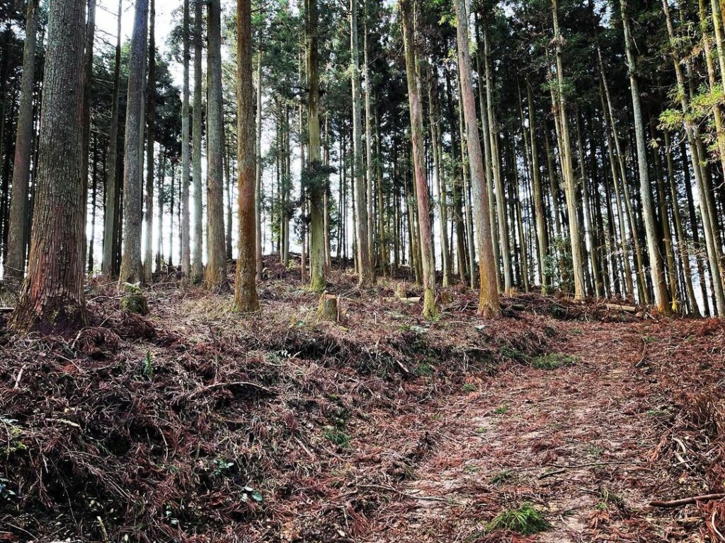
分岐点がいくつかありますが、山頂目指して登っていきます。
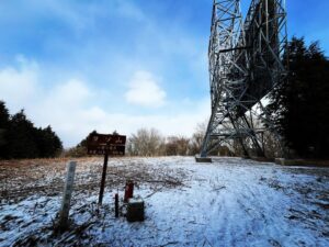
最後で道が途切れますので、10m程、直登します。
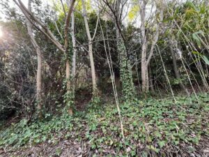
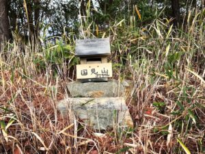
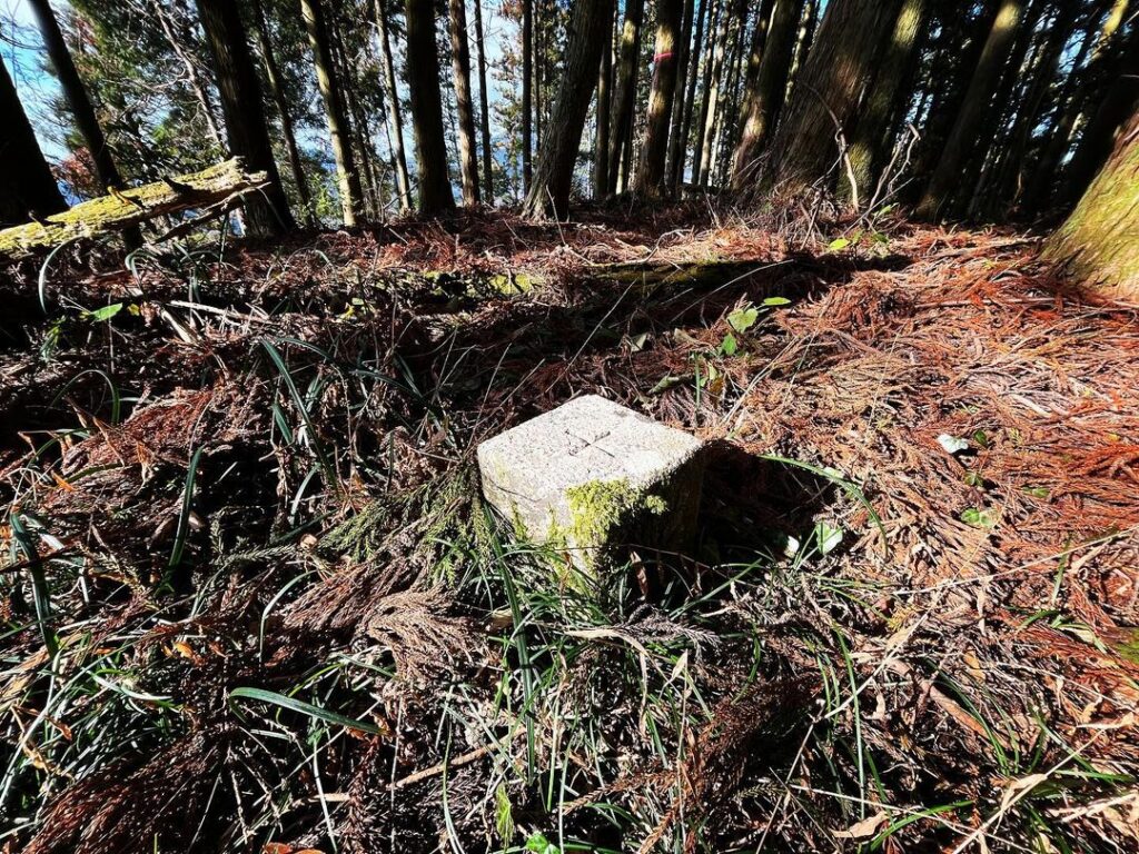
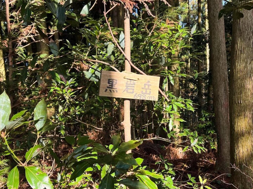
杉木の中、山頂には三角点と、近くの木に黒岩岳のプレートがかかっています。
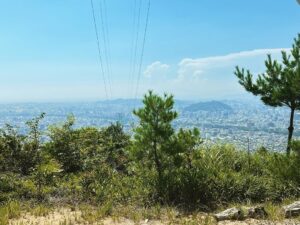
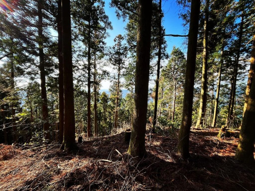
眺望はありませんが、木々の隙間から、少し周囲の山を見ることができます。
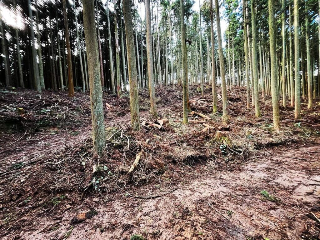
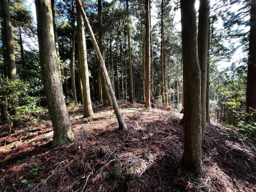
黒岩岳は杉山ですが、山頂まで道がしっかり整備されており驚きます。
間伐などの管理もしっかりされており、とてもよく管理された山だなと思いました。
左に行くと黒岩山浅草観音、真っ直ぐ進むと黒岩岳山頂近くへ
(もう少し進んだ先からも登れます)
山頂に向かって、ジグザグに登っていきます
#黒岩岳
#くろいわだけ
#標高698m
#黒岩山
#愛媛の小山登り
#小山登り
#愛媛県
#伊予市
#中山町
#三角点
#黒岩山浅草観音
#くろいわやまあさくさかんのん
#浅草観音
#黒岩岳トンネル
#延長2308m
#伊予大権現
#スクーター登山
From Mt. Kuroiwa Asakusa Kannon, return to the junction and aim for the summit of Mt. Kuroiwa.
After following the winding path for a while, you will reach the peak of the path.
From here, you can see the summit area and enter the path to the cedar forest.
From here, it is a walk.
There are several forks, but continue climbing toward the summit.
At the end, the path breaks off, so climb straight up for about 10 meters.
At the summit in the cedar forest, there is a triangular point and a plaque of Kuroiwa-dake on a nearby tree.
There is no view, but you can see some of the surrounding mountains through the trees.
Kuroiwa-dake is a cedar mountain, but you will be surprised that the path to the summit is well maintained.
The thinning of the forest is also well managed, and I thought it was a very well managed mountain.
黒岩岳・黒岩山浅草観音の入り口
黒岩岳と黒岩山浅草観音の分岐点
※google mapの「黒岩岳の浅草観音堂」の場所はずれて間違っているのでご注意ください。
黒岩岳の登山口(林道のピーク)
黒岩岳のMAP