観音山 関ヶ森から観音山の気持ち良い縦走ルート(愛媛県松山市)標高518.2m
関ヶ森から少し歩くと、分岐点がありますが左手の登り道を進みます。
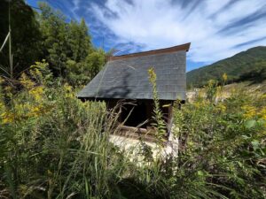
すると、謎の櫓があります。
この櫓、めちゃくちゃ登ってみたいのですが、上を見ると床が全くありません。
手すりもかなり錆びていて、ちょっと怖いので諦めました。
この櫓に意識を奪われ、そのまま林道を進んでいくと間違いです。
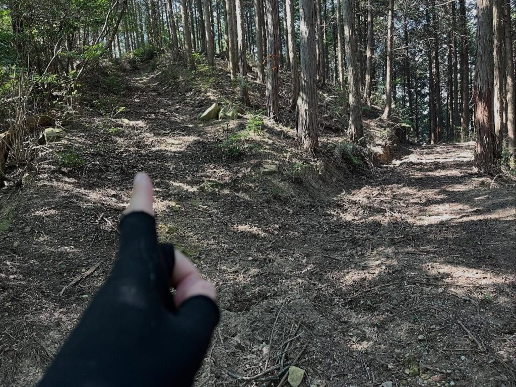
櫓の少し先の木にテープを巻いてくれていて、そこから森の中に突入していきます。
これが破線か…
とはいうものの、なんとなく踏み跡があるので、しっかりと見ましょう。
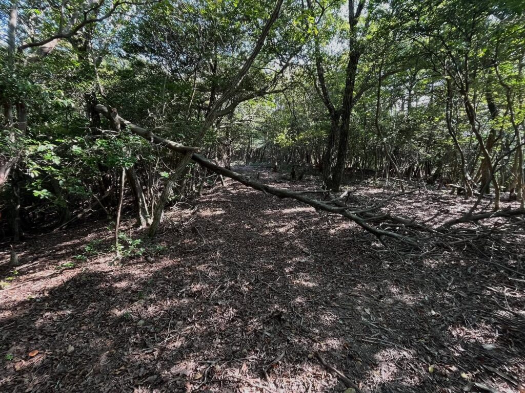
入ってしまうと、しっかりとした道が見えてきます。
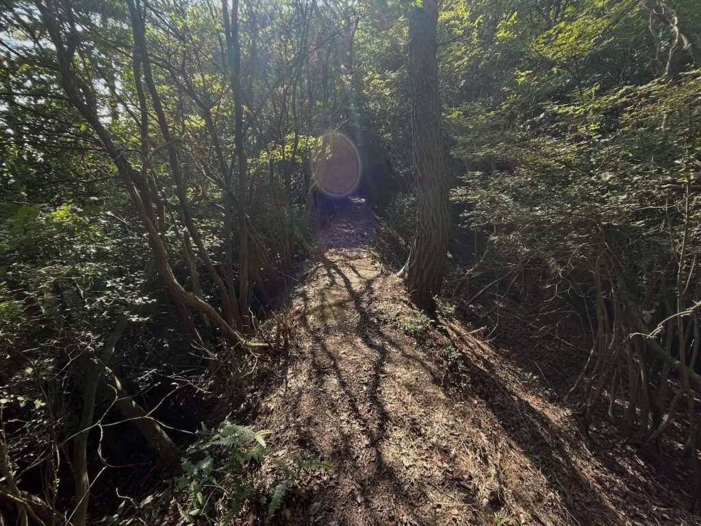
まずは下りです!
かなりの急勾配を下っていきます。
帰りは登らないといけないのですよね…
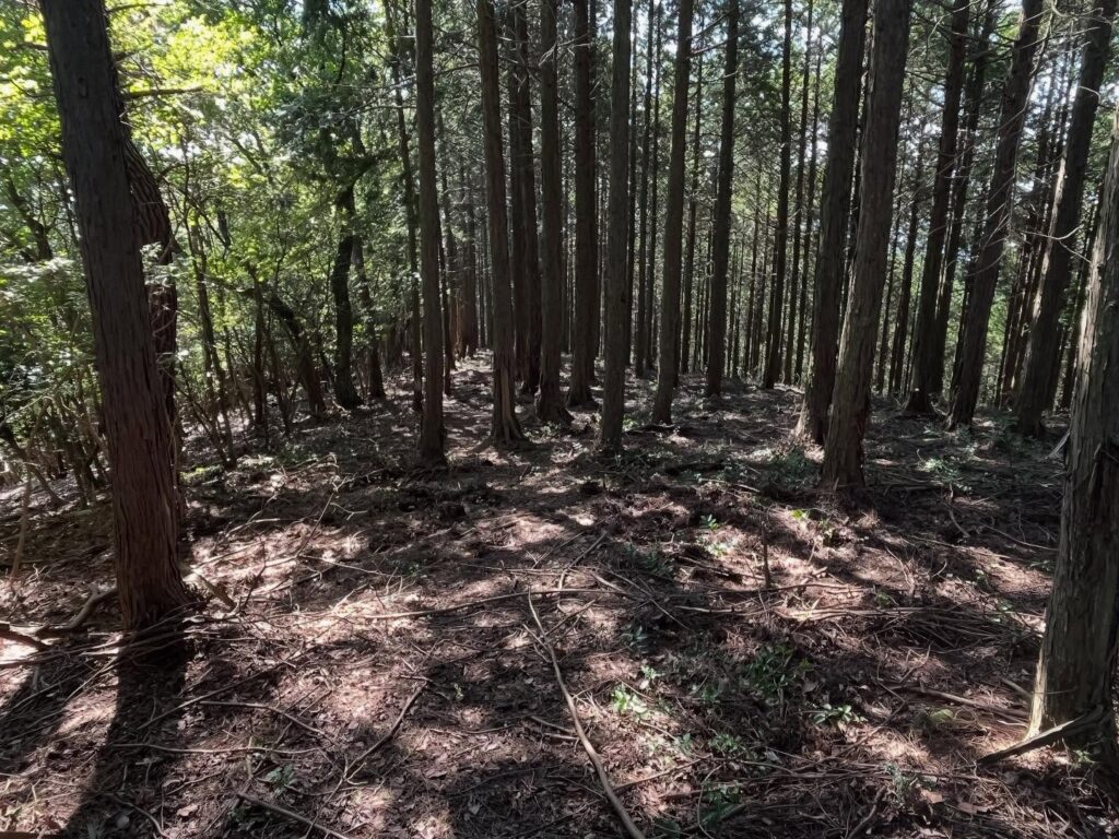
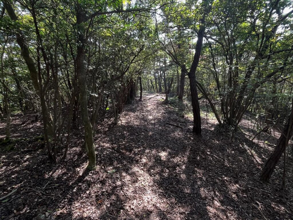
ここからはまっすぐ道なりです。
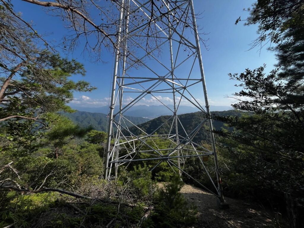
まずは、大きな四国電力の鉄塔が見えてきます。
この鉄塔、本当に高い!
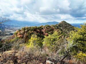
ちなみに、この鉄塔が道の合流点となっており、もう1本の道を進むと、別の鉄塔に辿り着きます。
この別の鉄塔が、唯一、眺望が開けているポイントです。
この情報を書いているということは、帰りに別の鉄塔に行ってみたということですが、この道を進むと帰れませんので気をつけましょう。
さて、観音山に向かいます。
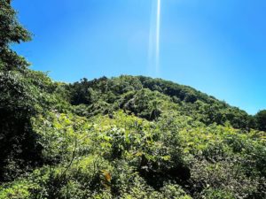
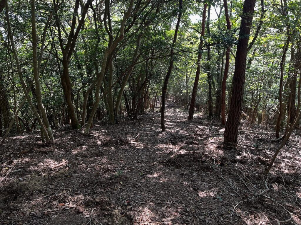
鉄塔から先は尾根道です。
藪道を想像していたのですが、道はわかりやすく、しっかりしています。
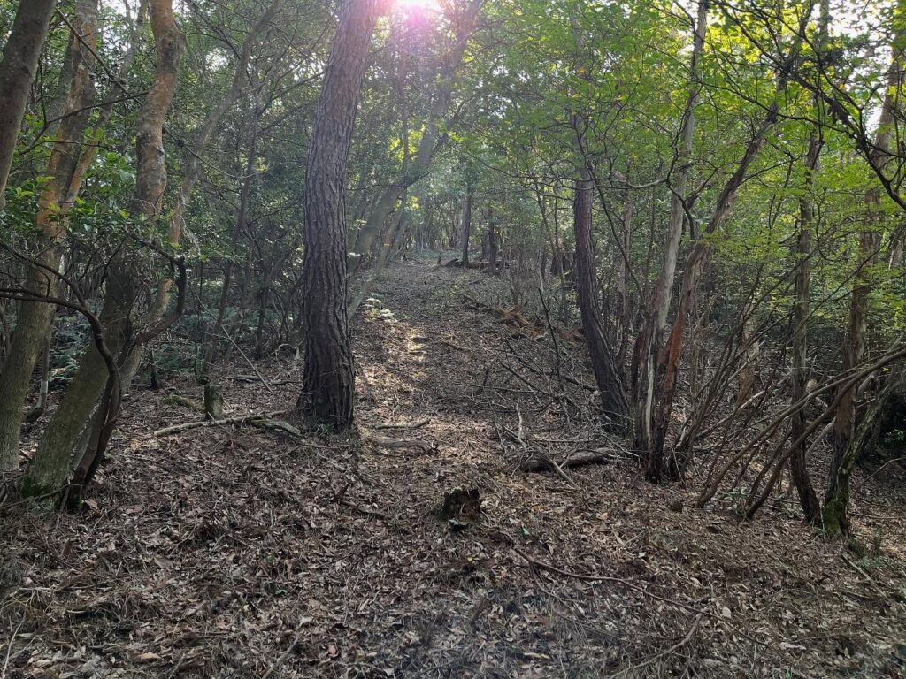
同じような景色が続きますが、この日は天気がよく、木漏れ日が気持ちよかったです。
小さなキレットのような尾根道も何ヶ所かあり、いろいろな尾根道の景色を楽しめました。
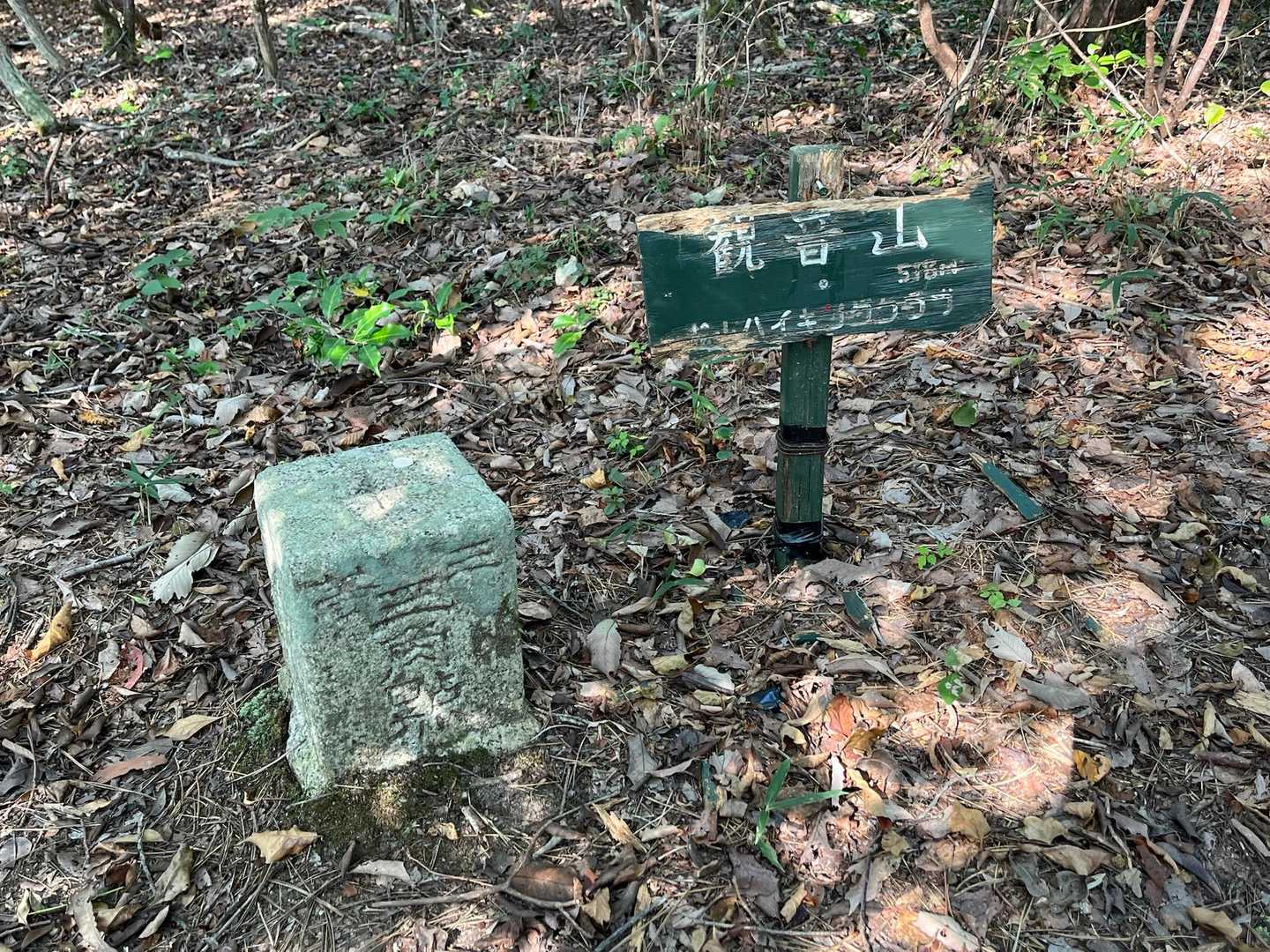
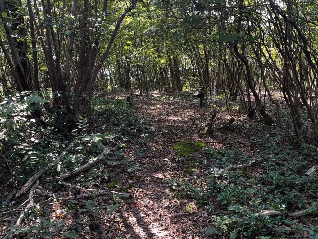
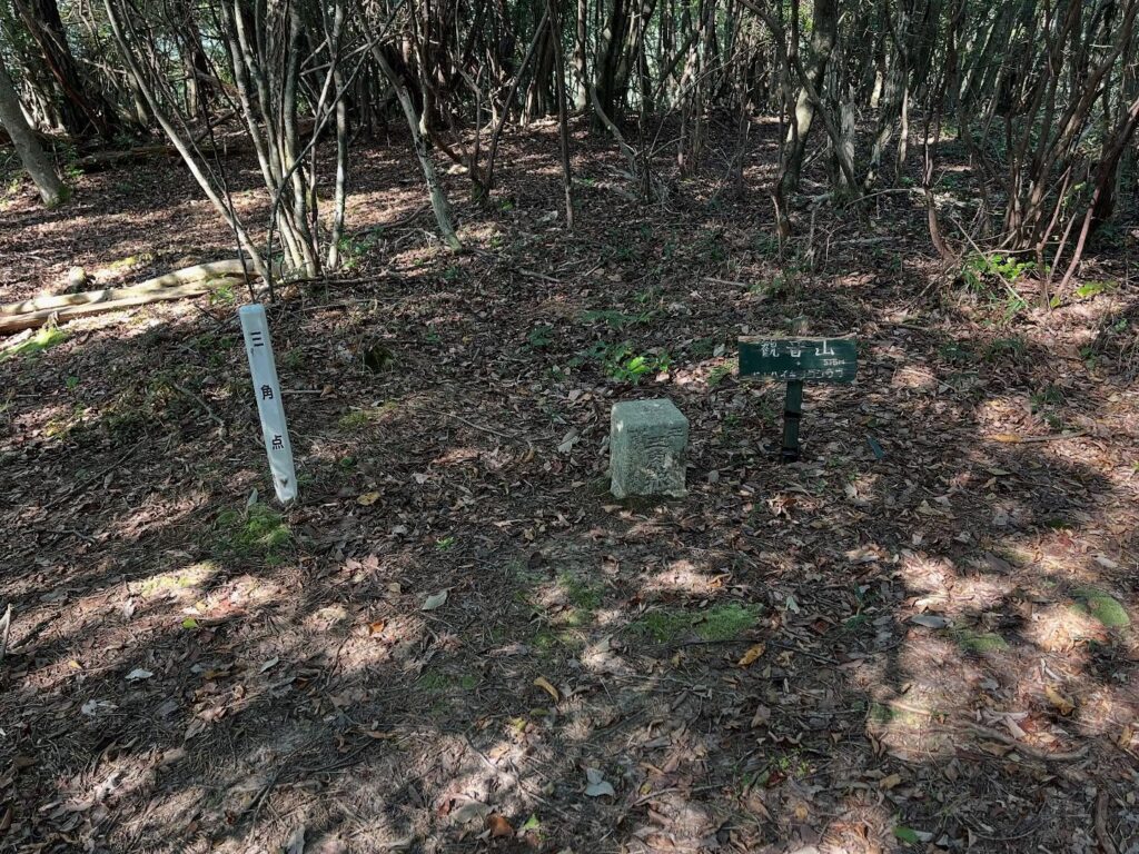
いくつかピークがあり、3つ目のピークが観音山です。
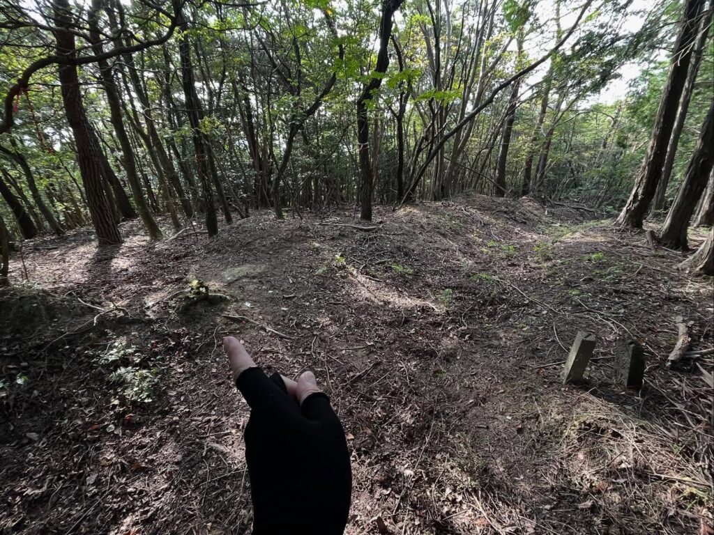
観音山山頂は広場になっています。
眺望はありませんが、標識と三角点がありました。
この標識・・・私が所属させていただいている松山ハイキングクラブによる設置
少し朽ちていましたが、ちょっと嬉しくなりました。
(しかし、どのルートで会員の皆さんを連れていかれたのでしょう?)
榎ヶ峠→関ヶ森→観音山ルートは、山登りというより、本当にハイキングの道でした。
きれいな林道に驚きです。
苦行だったのは、人が歩かないためクモの巣だらけだったこと。
私がしっかりクモの巣をはらっておきましたので、ぜひ、楽しんでみてください。
※秋はキノコ山となりますので、注意が必要です。
木々の間を降りていきます
こちら側から関ヶ森に登った方が登りやすいかも
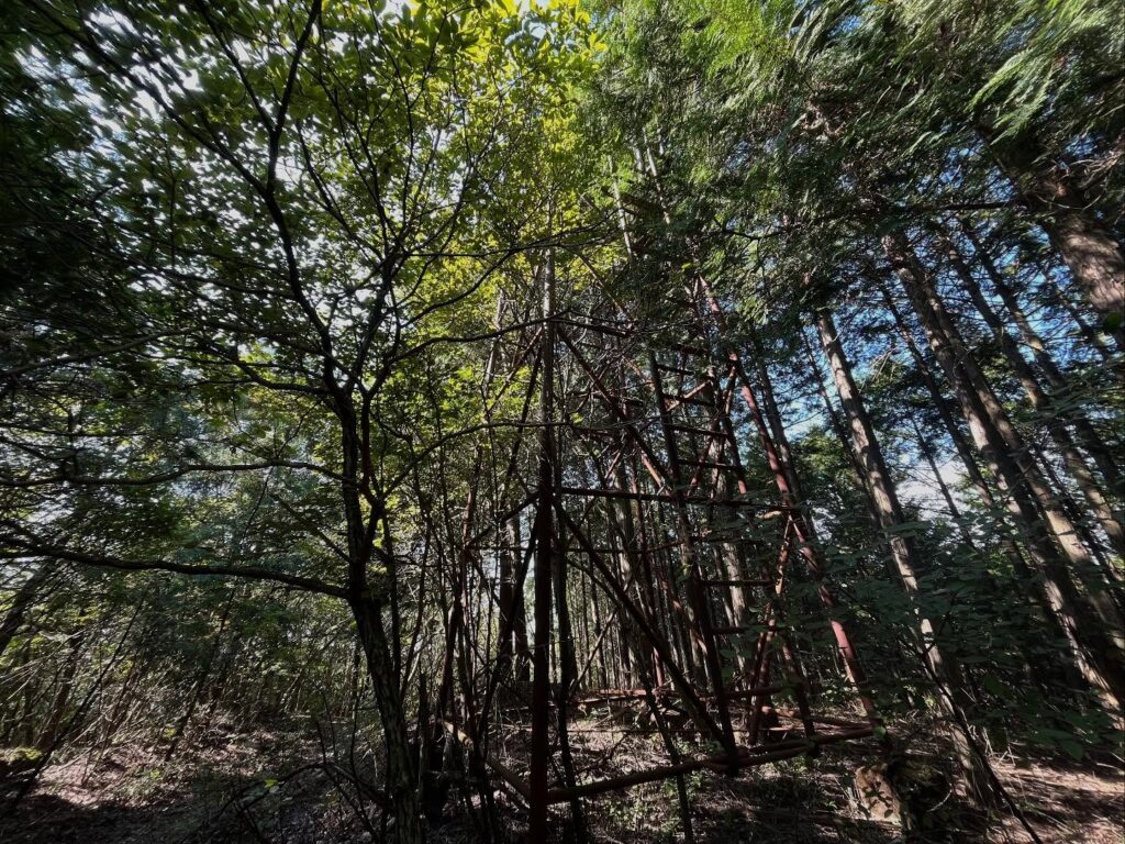
登ってみたいのですが、古すぎて怖い…
登っても床や屋根はありません
櫓のすぐ先に左に入っていく道というか踏み跡があります
右手の石柱と正面の木のテープが目印です
帰りは登るのですよね(笑)
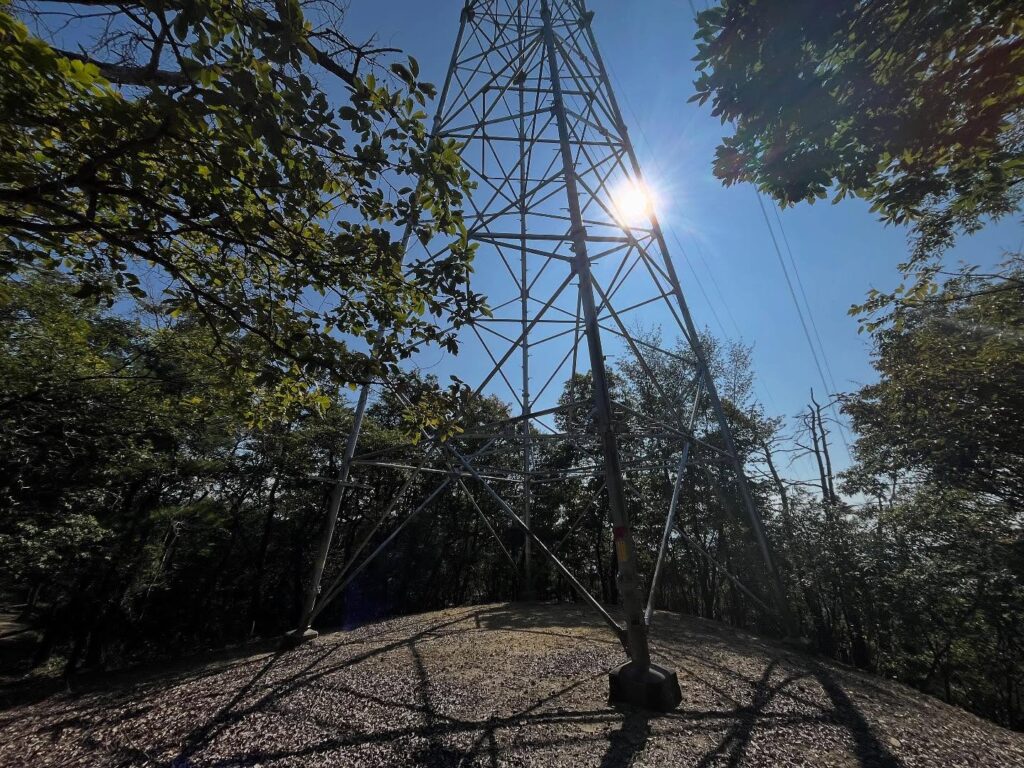
この鉄塔が良い目印
藪漕ぎ対策をしてきたのですが
クモの巣との戦いだけでした
けっこうゆっくりできます

今日、唯一の良い眺望でした!
トラバース道のような道を進みますが
こちらの道では帰れませんので、満足したら戻ります
#観音山
#かんのんやま
#標高518m
#三角点
#愛媛の小山登り
#小山登り
#愛媛県
#松山市
#小野町
#キノコ山
A short walk from Sekigamori brings you to a fork; take the uphill path on the left.
You’ll come upon a mysterious watchtower.
I really wanted to climb this tower, but looking up, I saw there was no floor at all.
The handrails were also quite rusty, so I gave up because it felt a bit scary.
If you get distracted by this tower and just keep going straight along the forest road, you’ll be mistaken.
A little past the tower, someone has wrapped tape around a tree. From there, you plunge into the forest.
So this is the dotted line…
That said, there are faint traces of a path, so keep your eyes peeled.
Once you enter, a proper trail becomes visible.
First, it’s downhill!
You descend a pretty steep slope.
You’ll have to climb back up on the way back, right…
From here, it’s straight along the path.
First, a large Shikoku Electric Power transmission tower comes into view.
This tower is really tall!
Incidentally, this tower marks a path junction. Taking the other path leads to a different tower.
This other tower is the only point with an open view.
The fact I’m writing this means I went to the other tower on the way back, but be careful: taking that path means you can’t return.
Now, heading toward Kannon Mountain.
Beyond the tower, the path follows a ridge.
I’d imagined a thicket trail, but the path is clear and well-maintained.
The scenery stays similar, but the weather was great that day, and the dappled sunlight felt wonderful.
There were several small, ridge-like sections resembling gullies, offering varied ridge views.
There are a few peaks along the way; the third peak is Kannon Mountain.
The summit of Kannon-yama is a clearing.
There’s no view, but there was a sign and a triangulation point.
This sign… installed by the Matsuyama Hiking Club, which I’m honored to belong to.
It was a bit weathered, but it made me feel a little happy.
(But which route did they take the members on?)
The Enokiga Pass → Sekigamori → Kannon-yama route felt more like a hiking trail than a mountain climb.
I was surprised by the beautiful forest road.
The hardship was that, since people rarely walk there, it was covered in spider webs.
I thoroughly cleared the spider webs, so please enjoy it.
※ Autumn turns it into a mushroom mountain, so caution is needed.
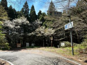
榎ヶ峠の登り口
榎ヶ峠のMAP(縦走登山口)
関ヶ森のMAP
観音山のMAP
活動データ(YAMAP)
活動データはYAMAPからご覧ください↓