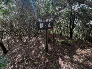
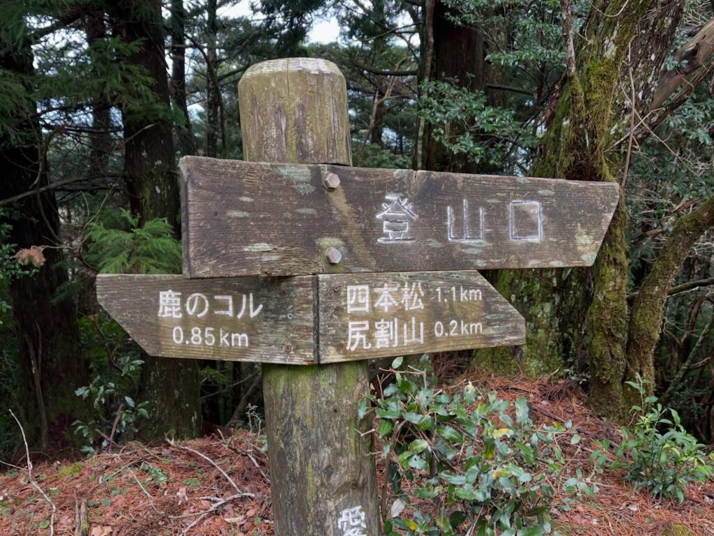
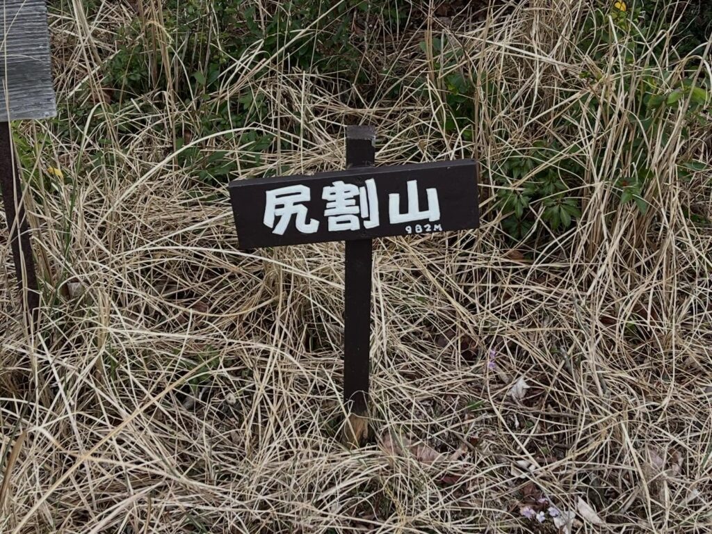
尻割山 登山口から200m「下る」と到着 宇和島・宇和海の眺望スポット(愛媛県宇和島市)標高980m
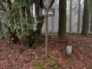
毛山から下りて、尻割山の登山口へ。
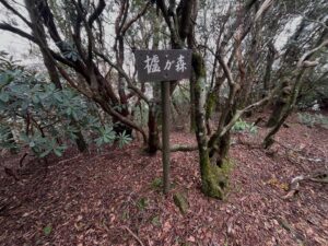
鹿のコルから850mの場所になります。
とはいうものの、登山口ではなく、下山口ですね。
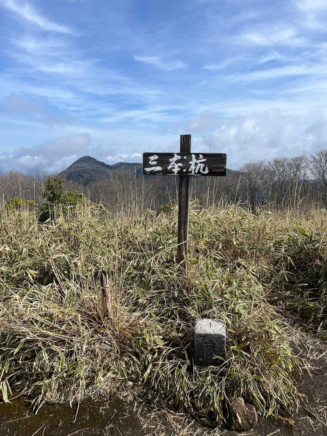
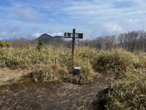
ここから、尻割山、四本松へと下っていきます。
尻割山までの距離はわずか200m。
歩きやすい尾根道をただ歩くという感じ。
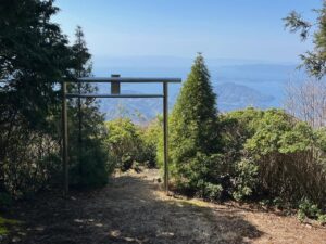
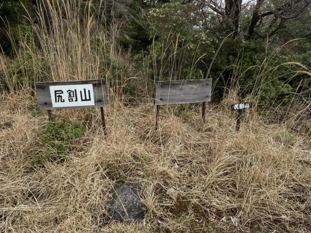
あっという間に、尻割山へ到着です。
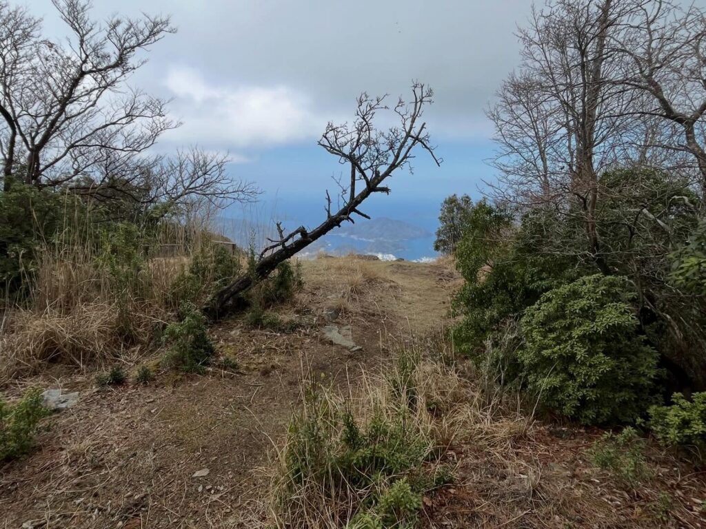
と書くとつまらないのですが、ここから一気に眺望が開けます。
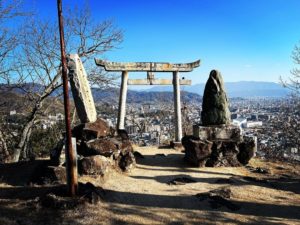
おぉ、すごい景色!
九島を中心に、宇和島市と宇和島湾を一望できる眺望スポットです。
疲れが一気に吹き飛びますね。
丸山運動公園や野川登山口から登るのは大変ですが、わずか200m下ってこの景色が見れるのは素晴らしいです!
ちなみに、野川登山口からの登山道が急登すぎて、尻を割ってまで登るので「尻割山」という説を見たのですが、尻を割るって仕事の放棄の意味ですよね?
詳細を知っている方がおられましたら、教えてくださいませ。
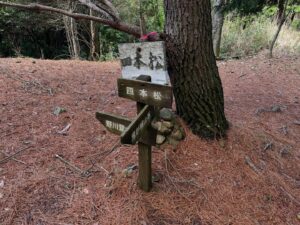
さて、しばらく景色を堪能したら、四本松へと向かいます。


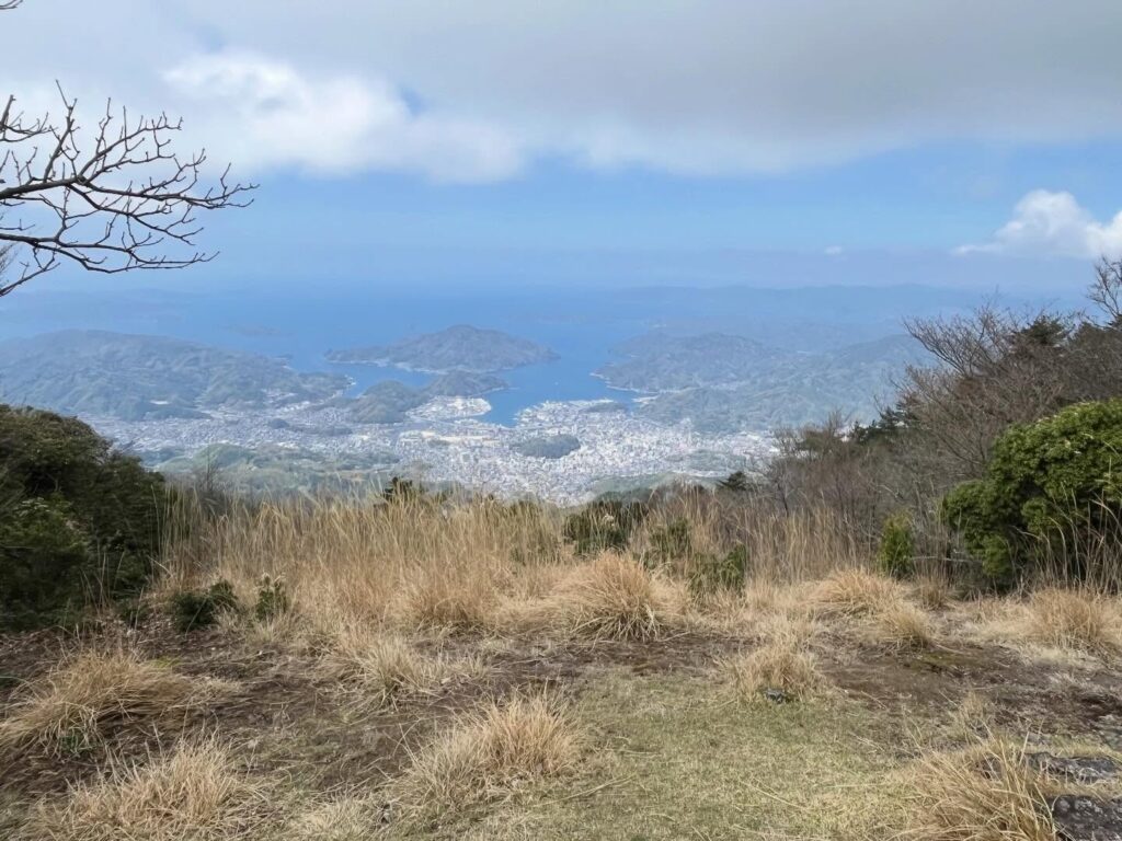
真ん中は九島
#尻割山
#しりわれやま
#標高980m
#愛媛の小山上り
#小山上り
#愛媛県
#宇和島市
#鬼ヶ城連山
#鬼ヶ城山系
#南予アルプス
Descending from Mt. Keiyama, we head to the trailhead for Mt. Shirigiri.
It’s located 850 meters from Shika-no-Koru.
That said, it’s not really a trailhead—it’s more of a descent point.
From here, we head down toward Mt. Shirigiri and Shihonmatsu.
The distance to Mt. Shirigiri is just 200 meters.
It feels like we’re simply walking along an easy ridge trail.
Before you know it, you’ll arrive at Shiriwari Mountain.
That might sound boring, but from here, the view suddenly opens up.
Wow, what an amazing view!
It’s a vantage point where you can take in a panoramic view of Uwajima City and Uwajima Bay, with Kushima Island at the center.
It instantly blows away all your fatigue.
While climbing from Maruyama Sports Park or the Nogawa trailhead is tough, being able to see this view after just a 200-meter descent is wonderful!
By the way, I read a theory that the mountain is called “Shirigari-yama” because the trail from the Nogawa trailhead is so steep that you have to “split your butt” to climb it—but doesn’t “splitting your butt” mean giving up on the task?
If anyone knows the details, please let me know.
Anyway, after enjoying the view for a while, I’ll head toward Shihonmatsu.
尻割山・四本松登山口
尻割山のMAP
活動データ(YAMAP)
活動データはYAMAPからご覧ください↓