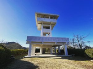
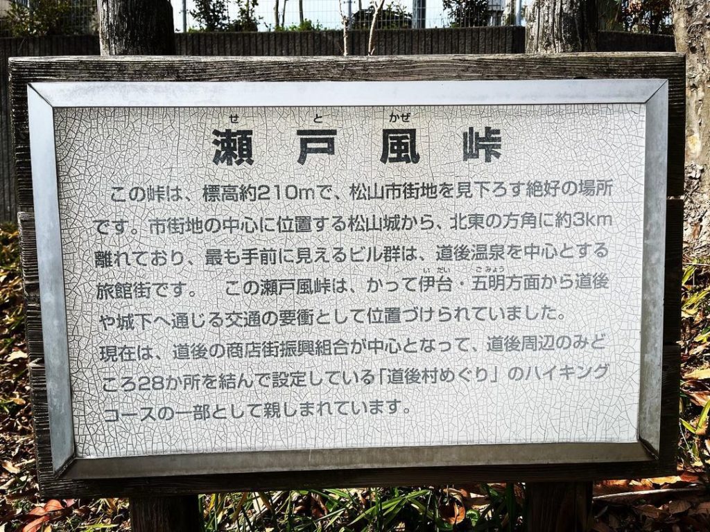
瀬戸風峠展望台(愛媛県松山市)標高約210m
松山市で峠といえば、やはり瀬戸風峠。
久しぶりに行ってみました。
道後平ニュータウンができるまでは、夜景を見に、よく行っていたのですよね。
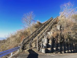
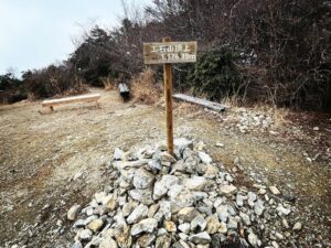
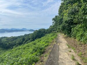
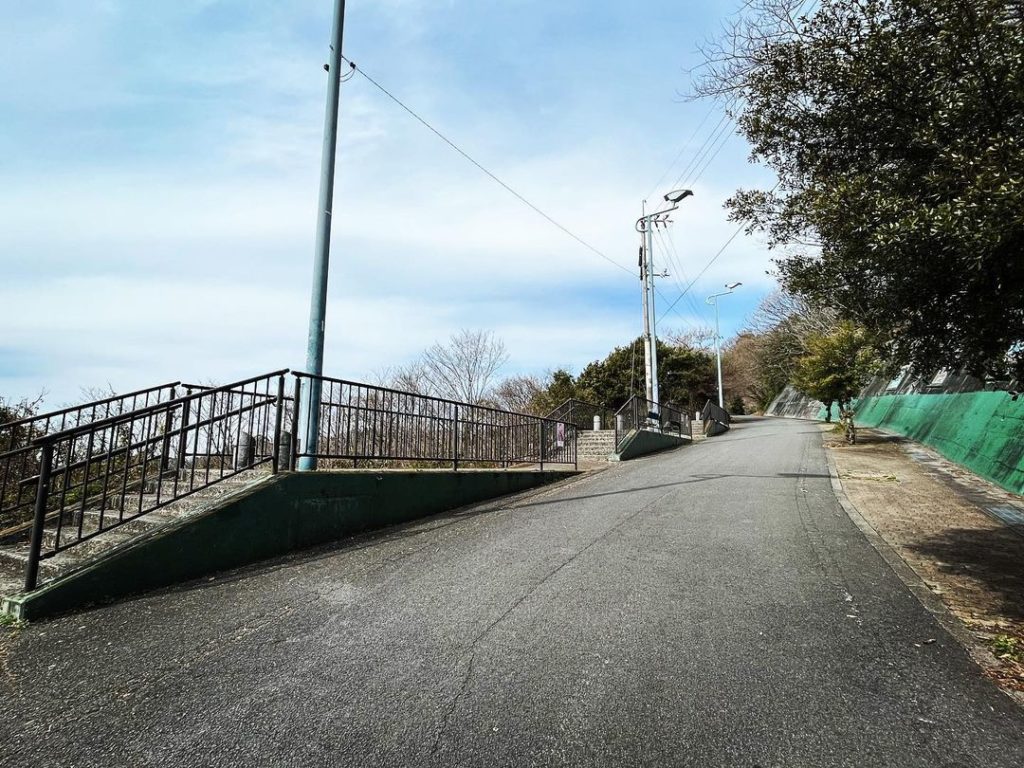
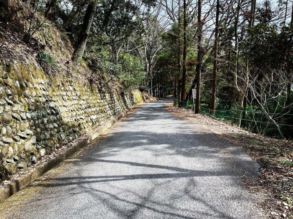
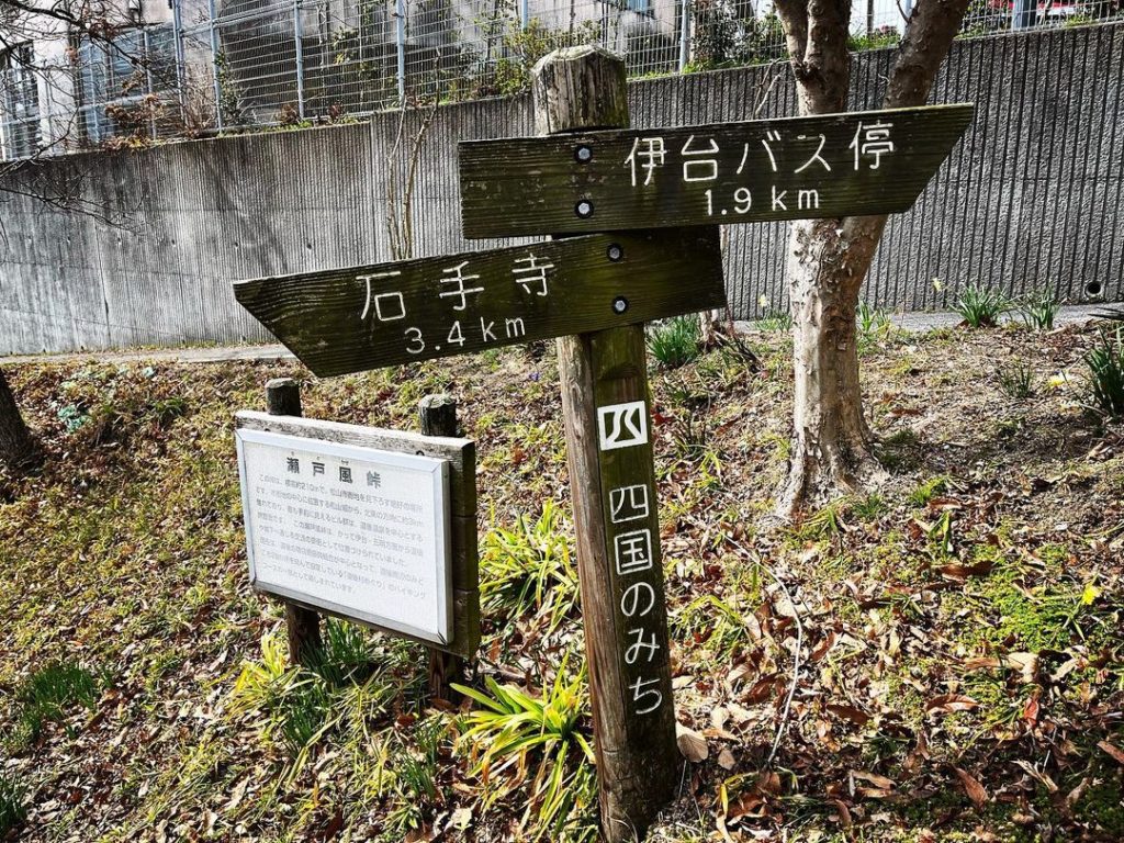
峠の分岐から、展望台まで歩きます。
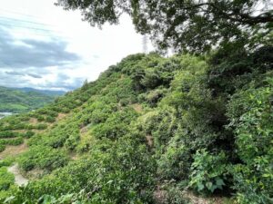
竹やぶ、みかん畑など、様々な景色が見れます。
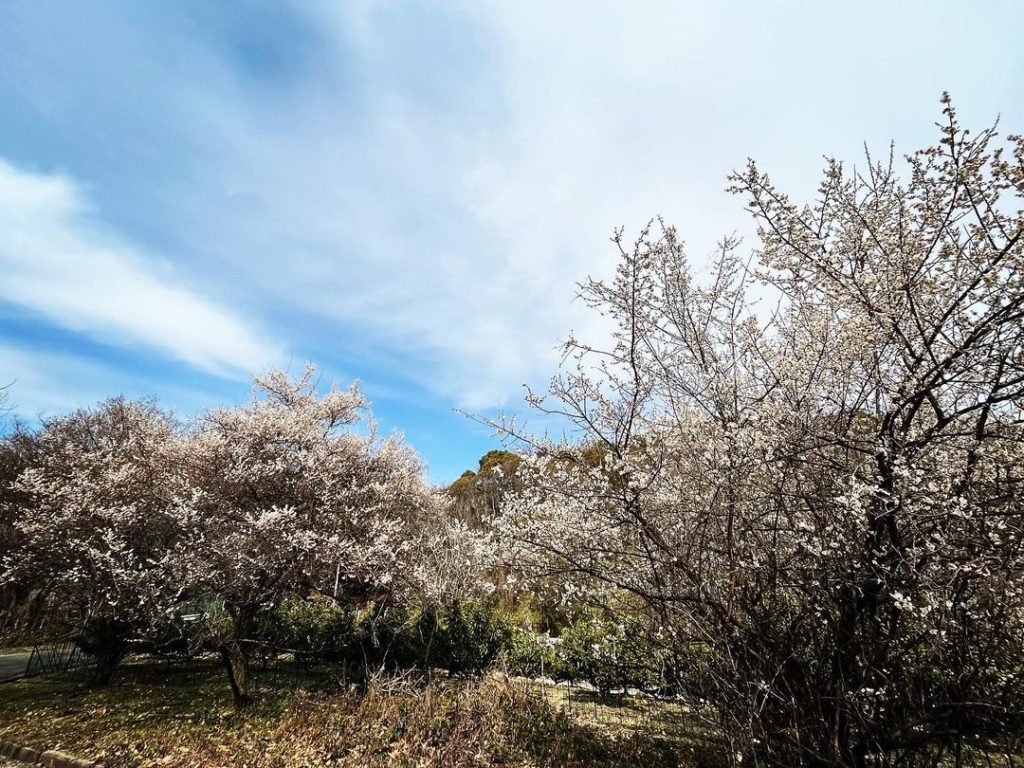
今日は早咲きの桜も咲いていました。
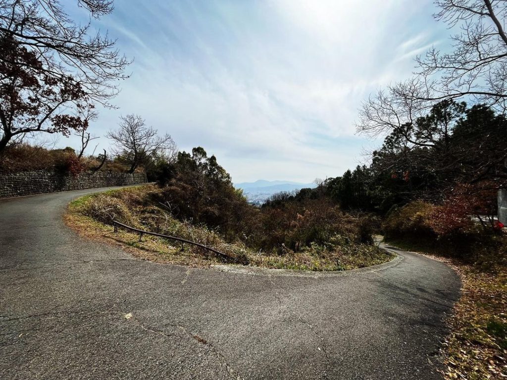
約800m歩くと、展望台に到着します。
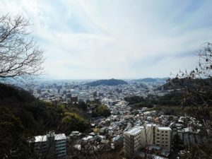
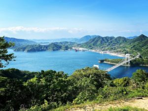
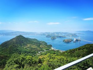
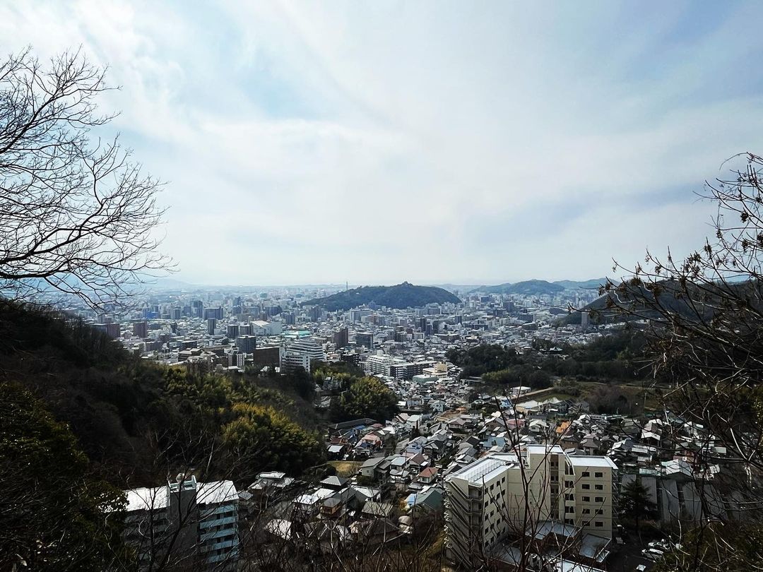
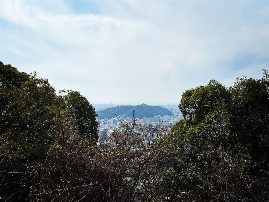
木々が邪魔になって、景色は思ったより良くないのですが、展望台のすぐ下あたりがベストポジション!
松山城を中心に、城下町の夜景がきれいなので、今度は夜に来てみます。
#瀬戸風峠
#標高212m
#瀬戸風峠分岐
#瀬戸風峠展望台
#展望台
#展望デッキ
#愛媛の小山登り
#小山登り
#愛媛県
#松山市
#道後平ニュータウン
#道後平
#四国のみち
#夜景
#愛媛好き
Speaking of mountain passes in Matsuyama City, Setokaze Pass is the place to go.
It has been a long time since I went there.
Before Dogodaira New Town was built, I used to go there often to see the night view.
From the branch of the pass, we walked to the observatory.
You can see various views such as bamboo groves and mandarin orange fields.
Today, early blooming cherry trees were also in bloom.
After walking about 800 meters, you will reach the observatory.
The view is not as good as expected due to the trees in the way, but the best position is just below the observatory!
The night view of the castle town, with Matsuyama Castle in the center, is beautiful, so next time I will come here at night.