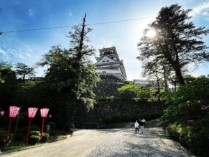
篠山 時間不足で登山口の視察のみ(愛媛県南宇和郡愛南町・高知県宿毛市)標高1,064.58m
篠山の登山口まで行ってきました。
篠山・・・遠いですね。
宇和島道路終点の津島岩松ICから篠山駐車場まで、なんと1時間半!
あわよくば登れるかなと思っていたのですが、駐車場と登山口確認のみとなりました。
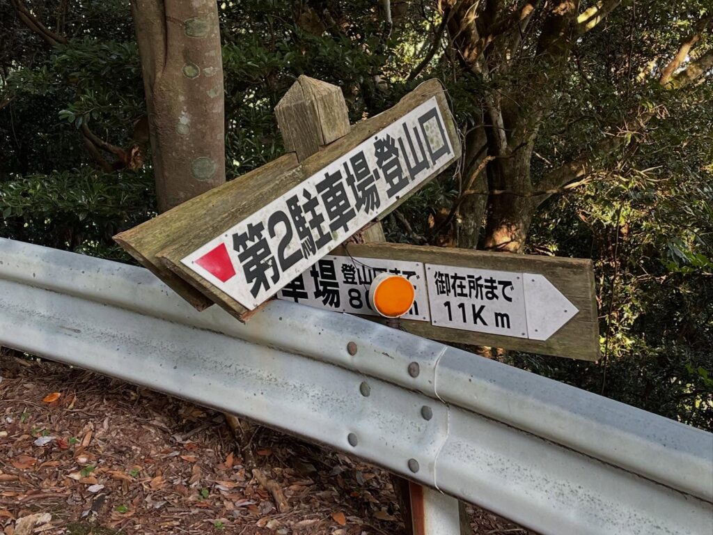
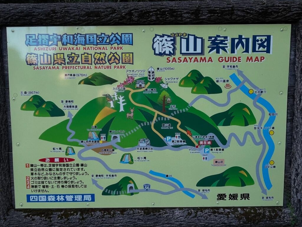
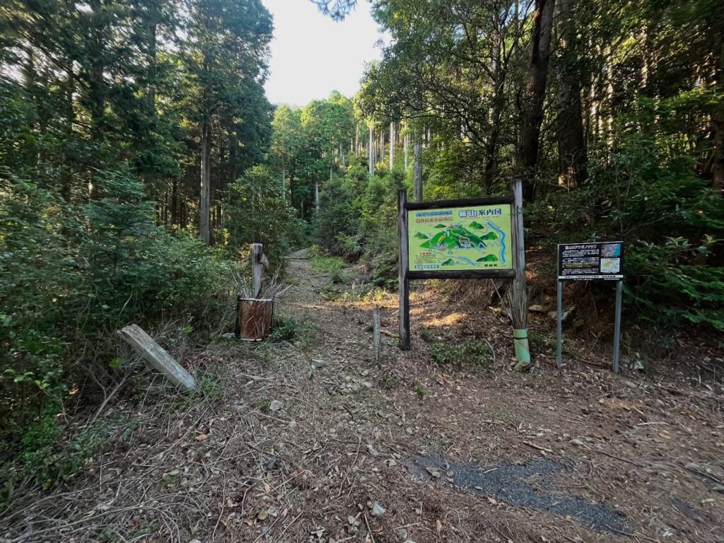
篠山は標高1064.6mの山ですが、8合目の標高750m付近に、第1駐車場と第2駐車場があり、それぞれ登山口があります。
とはいうものの、それまでの道がなかなか細いのですよね。
今回は時間帯が遅かったので、離合車がいなかったので良かったのですが、軽自動車でないと離合が怖そうです。
松山からスクーターでは遠いなぁ(汗)
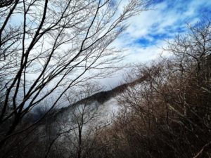
第1駐車場からの登山道は、よく整備された階段のようです。
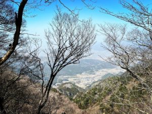
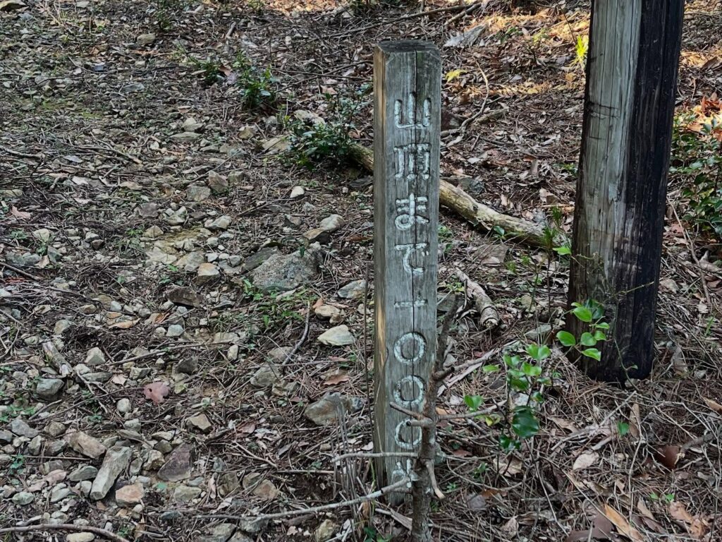
登山口から篠山山頂までは40分~1時間とのこと。
標高差は300m程度ですが、階段ならではの傾斜がきつそうです。
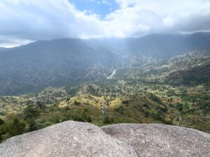
登山口から1時間程度で登れる眺望の素晴らしい山として有名な篠山。
早く登ってみたいですね!
この距離でも約4kmあります

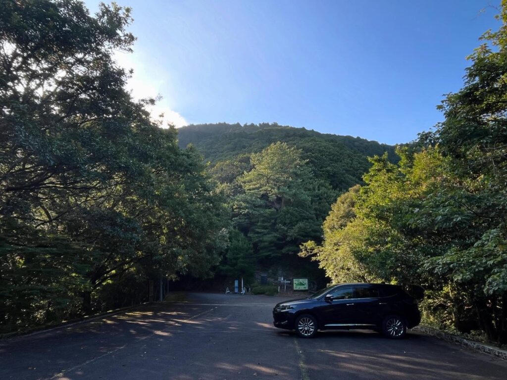
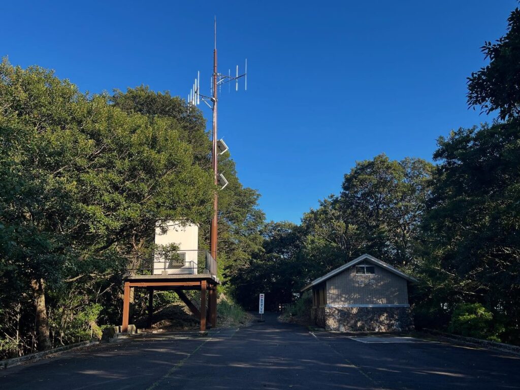
道があれだけ狭いのに、上は立派な駐車場です
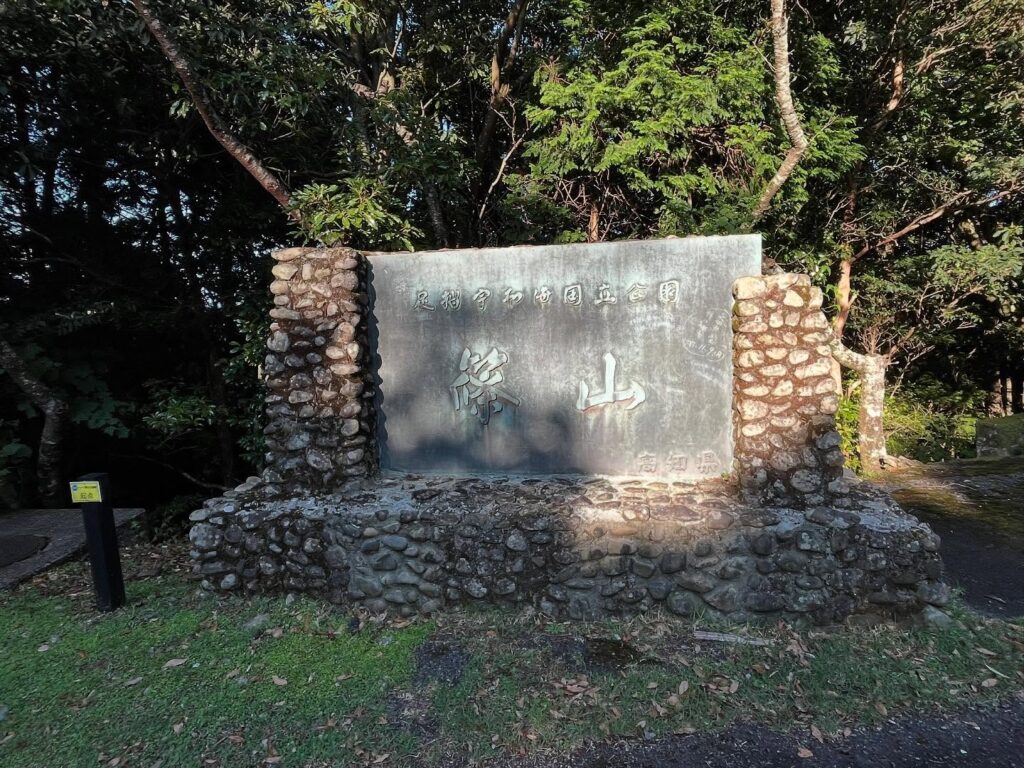
篠山は足摺宇和海国立公園の一部になります
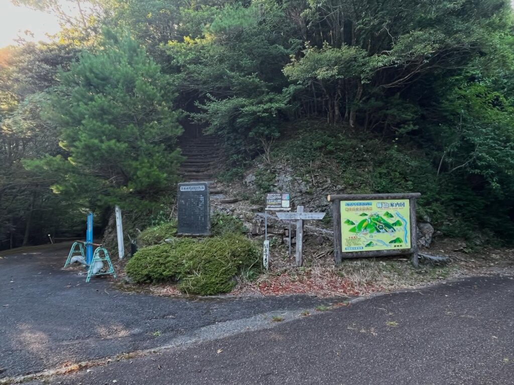
ずっと階段が続くようです
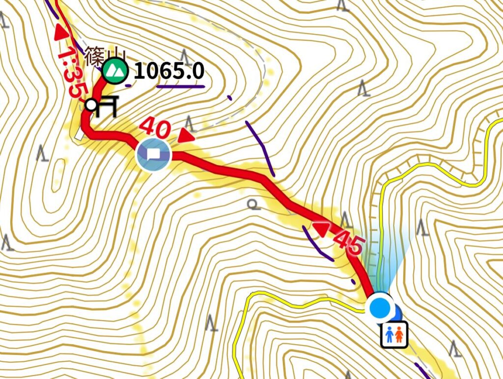
篠山山頂までの標高差は約280mですが等高線が密ですね!

標高は750~760mあたり、第1駐車場登山口より少し低いです
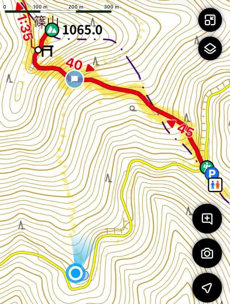
距離が伸びますが少しなだらかなようです
I went to the trailhead of Mt. Sasayama.
Mt. Sasayama… It’s far away.
It took an hour and a half to get from the Tsushima Iwasaki Interchange at the end of the Uwajima Expressway to the Mt. Sasayama parking lot!
I was hoping to climb the mountain, but I only got to check out the parking lot and trailhead.
Shinoyama is a mountain with an elevation of 1,064.6 meters, but there are two parking lots—the first and second parking lots—at an elevation of approximately 750 meters near the eighth station, each with its own trailhead.
That said, the road leading up to them is quite narrow.
This time, since it was late in the day, there were no oncoming vehicles, so it was fine, but it seems like it would be scary to pass other vehicles unless you’re driving a compact car.
It’s a long way from Matsuyama by scooter.
The hiking trail from the first parking lot seems to be well-maintained stairs.
It takes about 40 minutes to 1 hour from the trailhead to the summit of Shino-yama.
The elevation difference is about 300 meters, but the slope of the stairs seems quite steep.
Shino-yama is famous as a mountain with stunning views that can be reached in about an hour from the trailhead.
I can’t wait to climb it soon!
#愛媛の小山登り
#小山登り
#篠山
#ささやま
#標高1064m
#愛媛の小山登り
#小山登り
#愛媛県
#南宇和郡
#愛南町
#高知県
#宿毛市
#篠山神社
#ミヤコザサ
#アケボノツツジ
#えひめ森林浴八十八ヶ所
#えひめ森林浴88ヶ所
#足摺宇和海国立公園