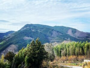
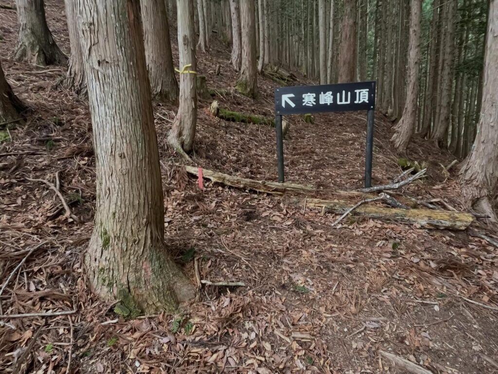
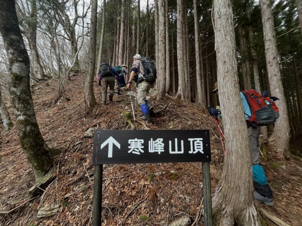
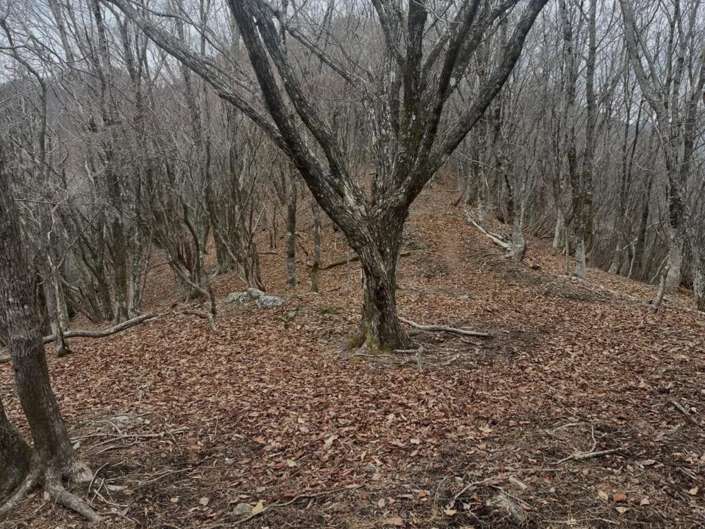
西寒峰 寒峰の手前のピーク 迂回路分岐からの登りは楽だが、下りは急勾配(徳島県三好市)標高1518m
本日はMHCの四国百名山の会で寒峰へ。
天気予報は夕方から雨。
なんとかギリギリお天気がもってほしいですね。
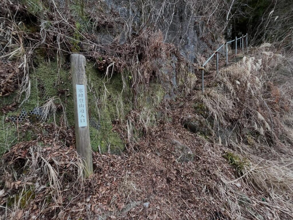
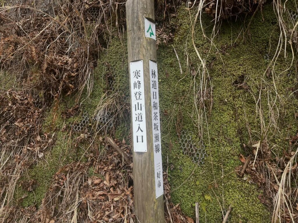
住吉神社から登ると思っていたのですが、なんと更に上まで車で行けるとのことで細道を登っていきます。
広い車を停めるスペースがありました。
ここから少し歩いて登山口へ。
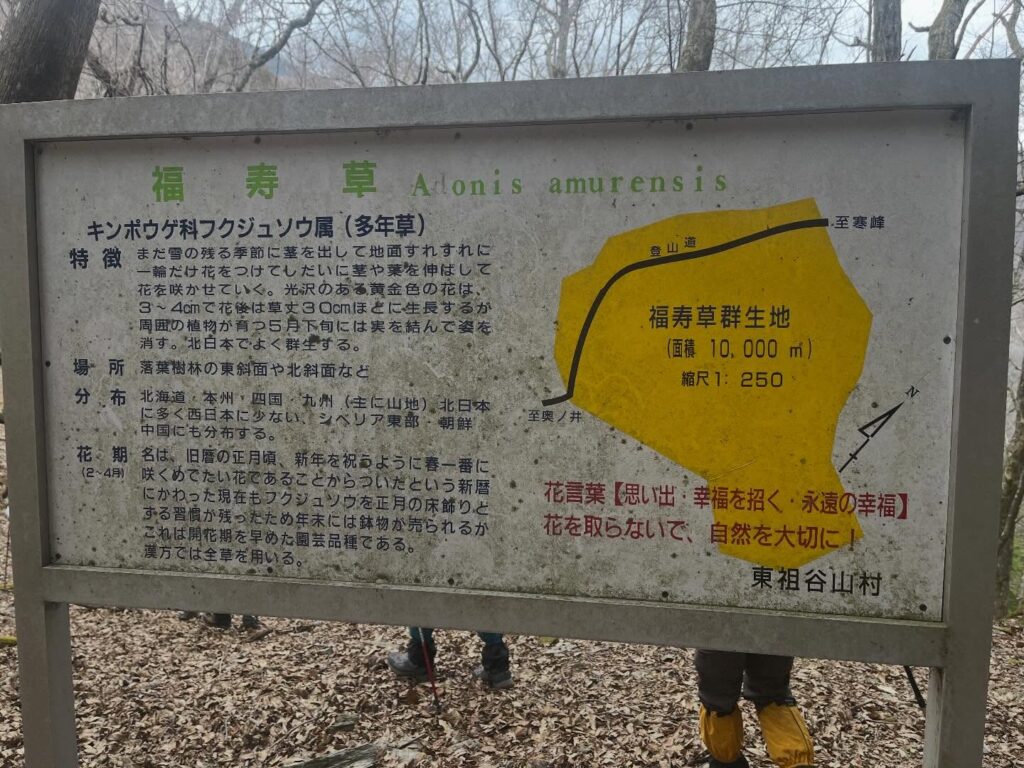
まずは福寿草の群生地を目指します。
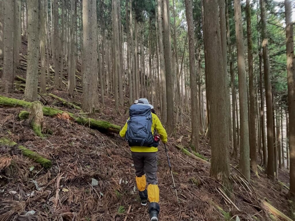
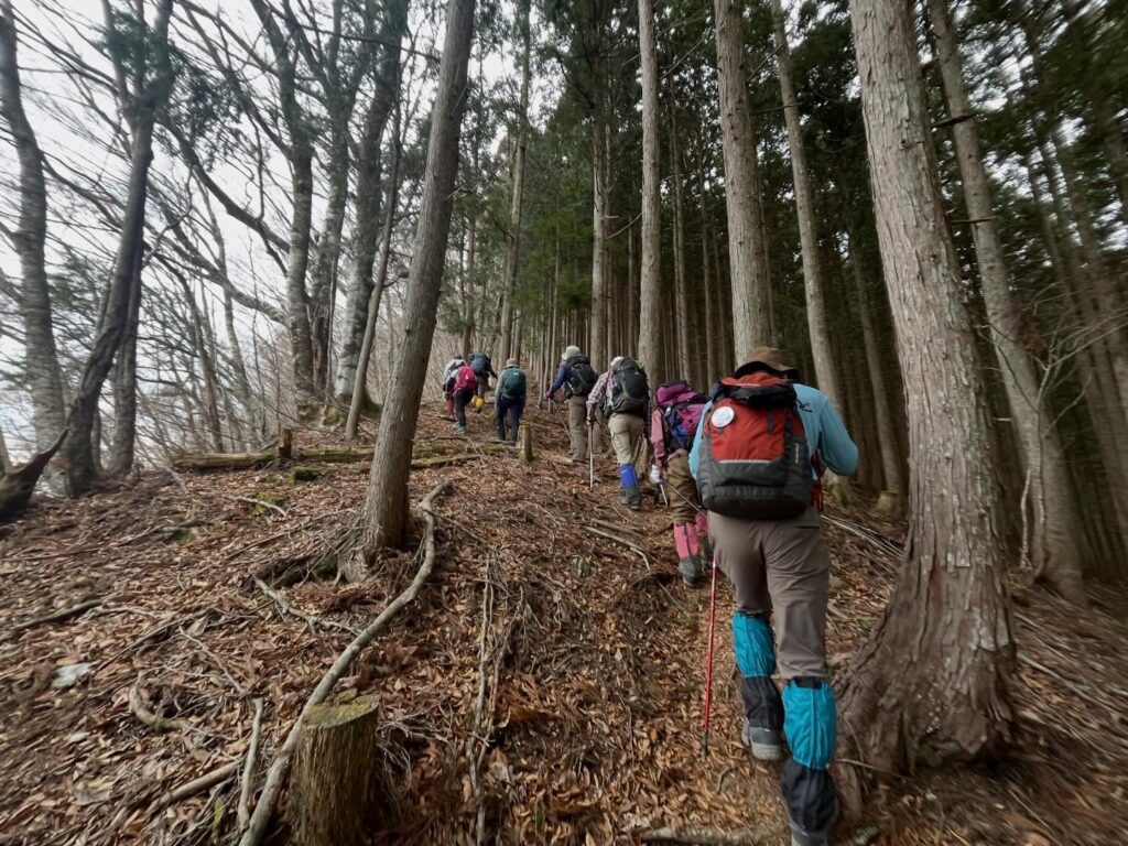
まずは杉林の中を登っていきます。
(花粉が待っているのか、帰りはくしゃみが大変でした…)
しばらく登ると、福寿草群生地の案内板があります。
雪はなくなっていましたが、かわいい福寿草がたくさん咲いていました。
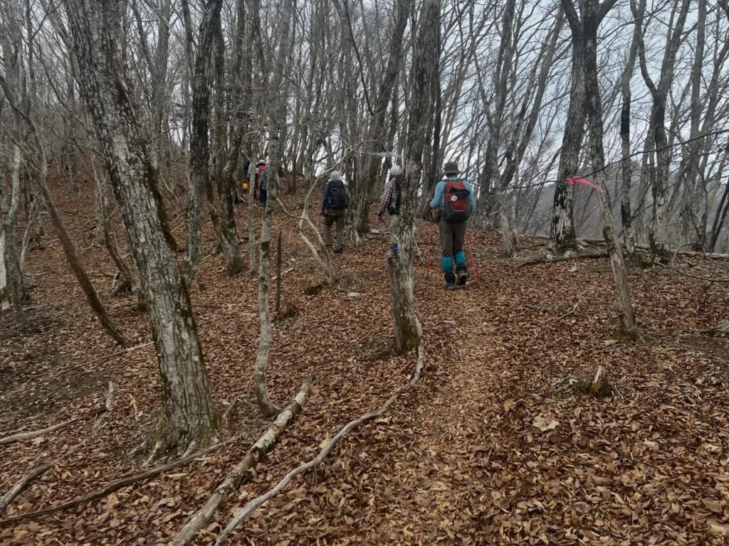
寒峰は急登と聞いていたのですが、ここからずっと急登です。
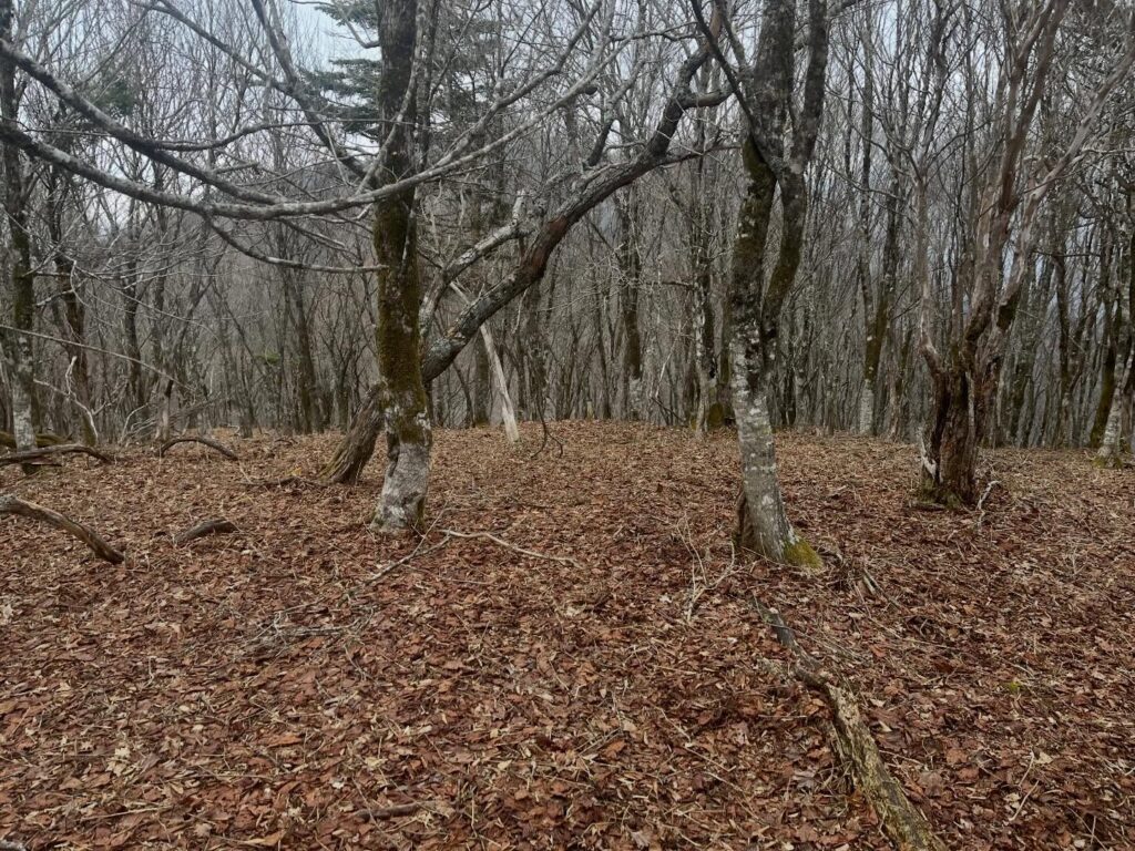
ガレ場の細道を通り、杉山を抜け、広葉樹の森になり、とにかく登ります。
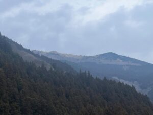
登りきると、木々の間に、西寒峰や東峰が見えてきます。
なんとか天気がもってほしい!
まずは西寒峰へ。
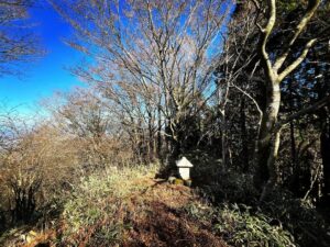
木々の根と岩の道を登っていきます。
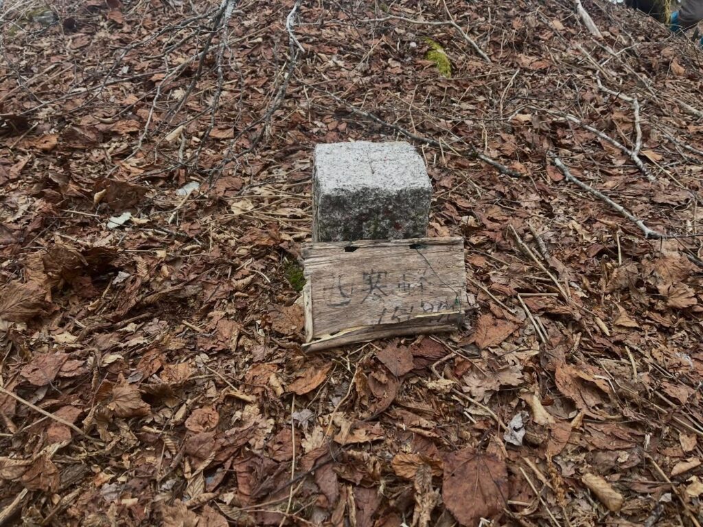
登ると平地が現れます。
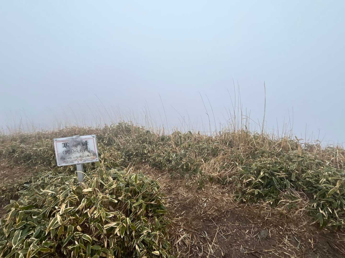
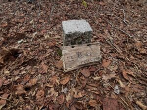
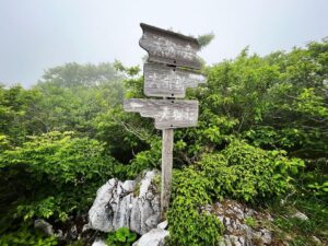
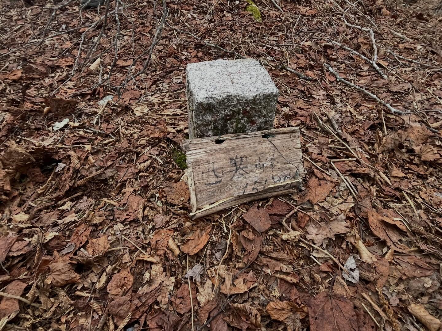
真ん中に西寒峰の三角点と、小さな手書きの標識がありました。
西寒峰 標高1518m。
迂回ルートもありますが、やっぱり登っておかないと!ですね。
さて、寒峰に進みますが、ここから鬼の急降下が始まります。
駐車スペースから少し奥にあります

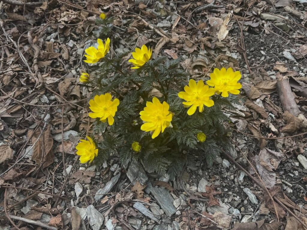
夕方は花を閉じてしまいます
この辺りから、木々の間に寒峰が見えます
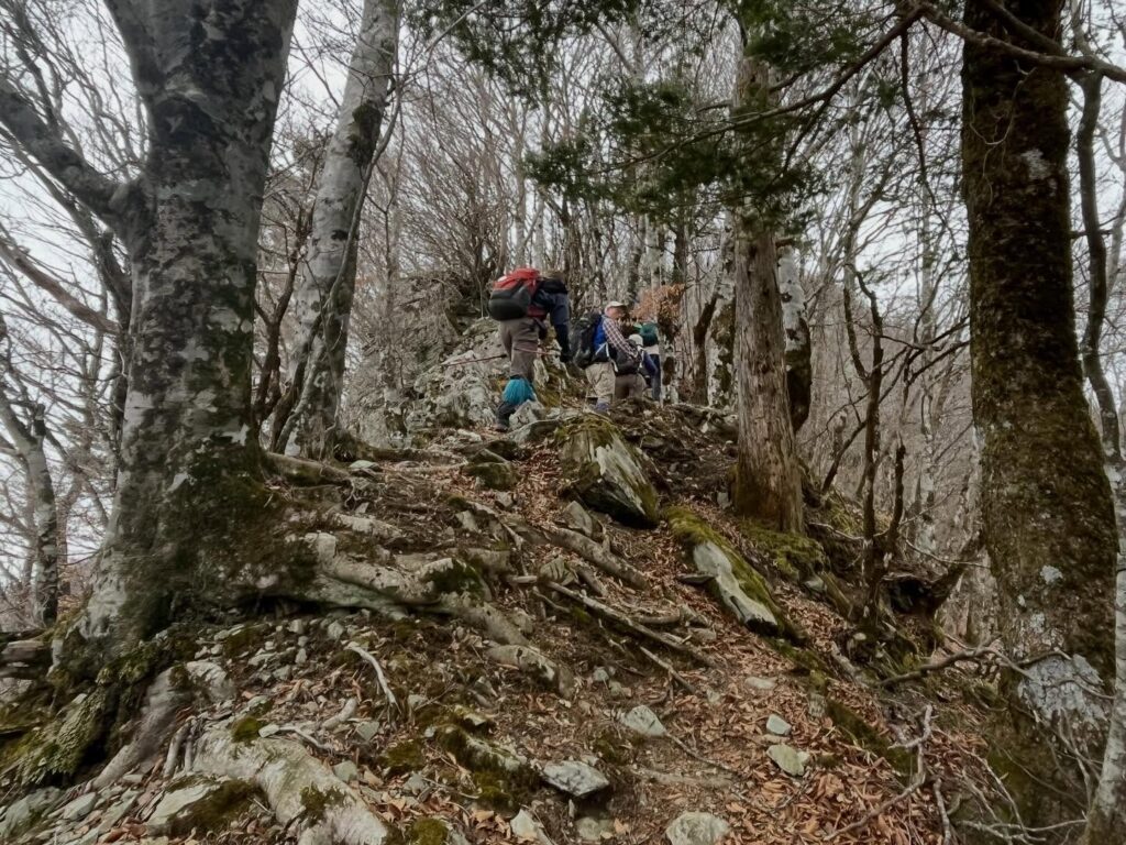
岩と根で滑りやすいので注意!
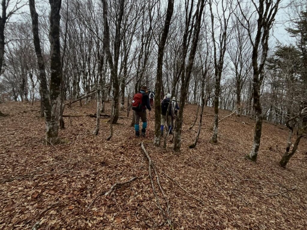
広場になっています
#西寒峰
#にしかんぽう
#標高1518m
#寒峰
#かんぽう
#愛媛の小山登り
#小山登り
#徳島県
#三好市
#福寿草
Today, I’m heading to Kanpo with the MHC Shikoku 100 Famous Mountains Club.
The forecast calls for rain starting in the evening.
I really hope the weather holds out just long enough.
I thought we’d be starting the hike from Sumiyoshi Shrine, but it turns out we can drive even further up, so we’re taking a narrow road up the mountain.
There was a spacious parking area.
From here, it’s a short walk to the trailhead.
First, we headed for the Adonis flower colony.
We started by climbing through a cedar forest.
(Maybe the pollen was waiting for us—I had a terrible case of sneezing on the way back…)
After climbing for a while, we came to a signpost for the Adonis flower colony.
The snow had melted, but there were lots of cute Adonis flowers in bloom.
I’d heard that Kanmine was a steep climb, and sure enough, it’s been steep all the way from here.
We passed through a narrow path on a scree slope, went through a cedar forest, and entered a broadleaf forest—we just kept climbing.
Once we reached the top, Nishi-Kanpo and Kanpo came into view through the trees.
I really hope the weather holds out!
First, on to Nishi-Kanpo.
I climbed up a path of tree roots and rocks.
As I climbed, a flat area appeared.
In the center was the Nishi-Kanmine triangulation point and a small handwritten sign.
Nishi-Kanpo, elevation 1,518 m.
There’s a detour route, but I just had to climb it, didn’t I?
Now, on to Kanpo, but from here, the devilishly steep descent begins.
寒峰の登山口
西寒峰のMAP
活動データ(YAMAP)
活動データはYAMAPからご覧ください↓