黒森山 松山市で二番目に高い山(愛媛県松山市・愛媛県上浮穴郡久万高原町)
松山市で一番目に高い山は明神ヶ森(標高1217m)
松山市で二番目に高い山は黒森山(標高1154m)
ということで行ってきました、黒森山。
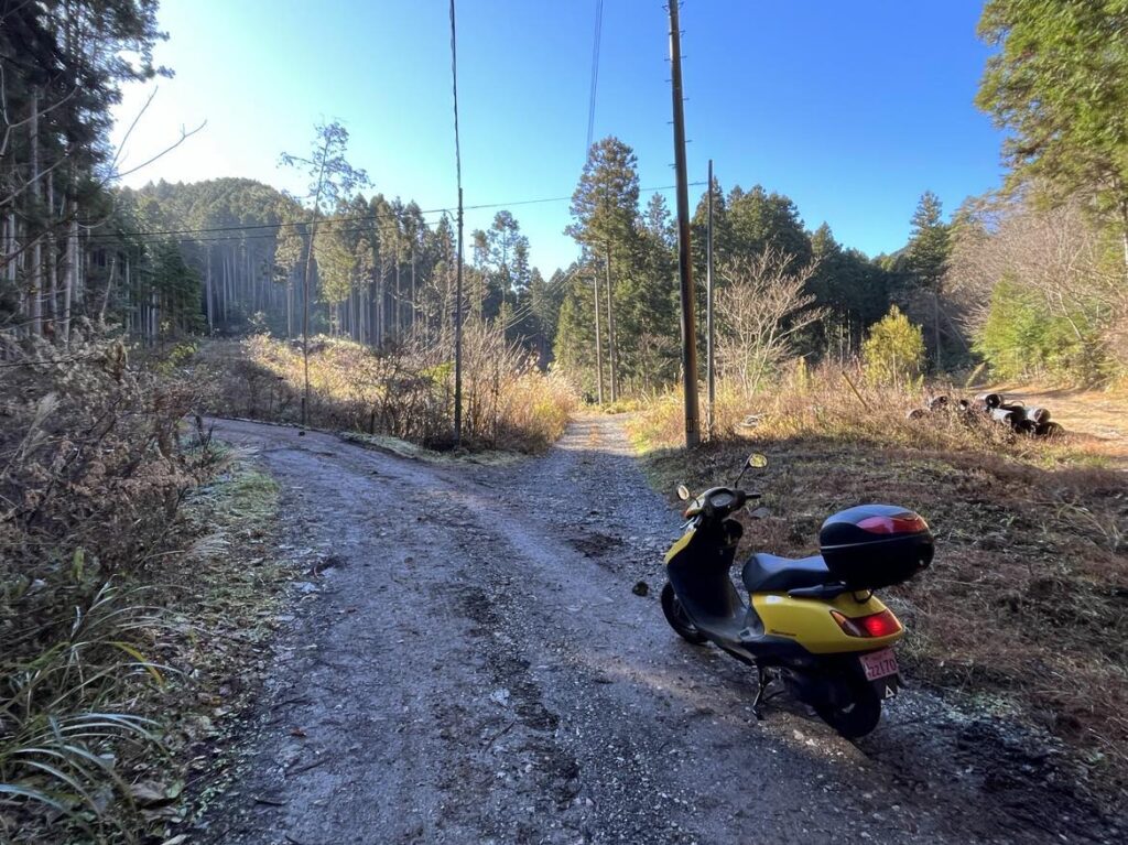
スクーターで山頂近くまで行けますよ!
ということで、気軽に行ってきたのですが・・・ちょっと甘かったです。
まずは33号線を八坂峠に向かって登っていきます。
旧ドライブインから久万高原町方面に200mほど進むと、フェンスが途切れて、右手に林道に入る道があります。
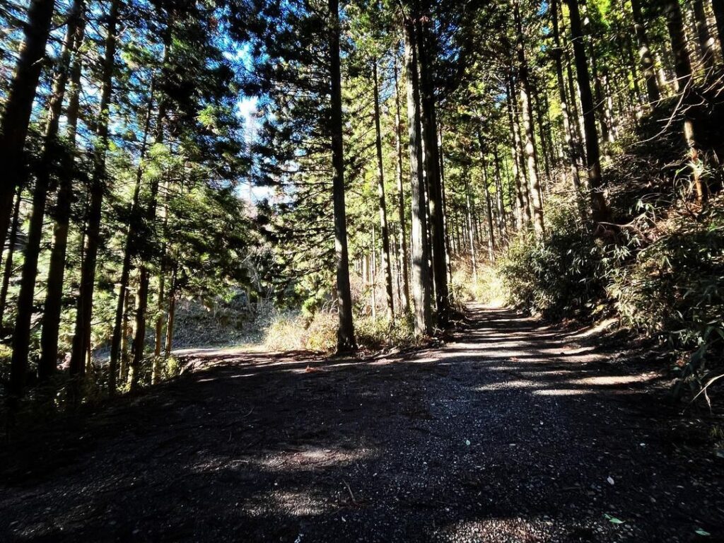
入るとキャンプ場のようなところがありますが、その横をどんどん進んでいきます。
YAMAPを確認しながら進むと間違いないのですが、分岐があれば「必ず右」に進んでいくと間違いないかと思います。
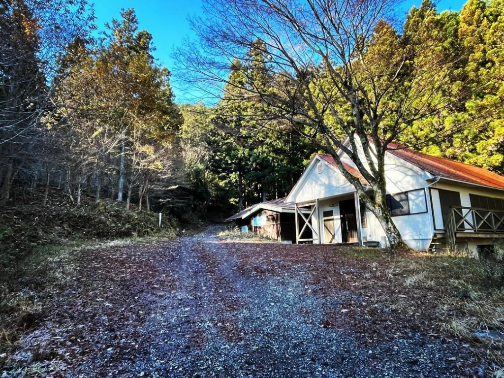
まずは、ボーイスカウト野営地、新和敬荘が見えたら間違いありません。
どんどん登っていきましょう。
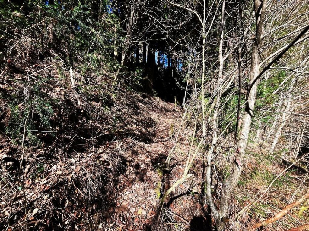
道は基本的には舗装されていませんし、小石や岩も転がっていますが、道はしっかりしています。
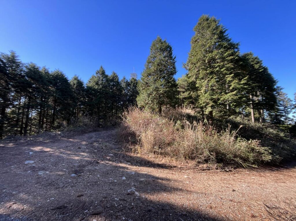
分岐点は右へ進みます!
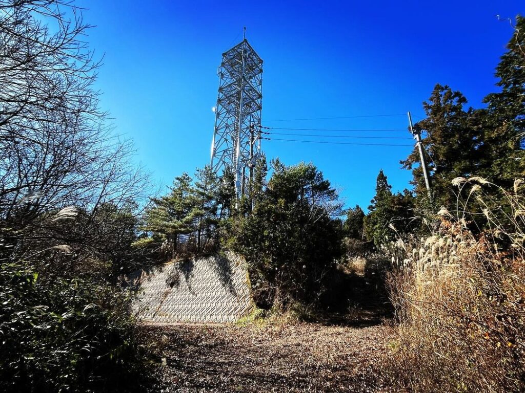
最後の分岐点を右に折れ、黒森山電波塔を目指します。
電波塔で道が分岐しています。
左に林道が続きますが、右の道に入ります。
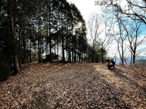
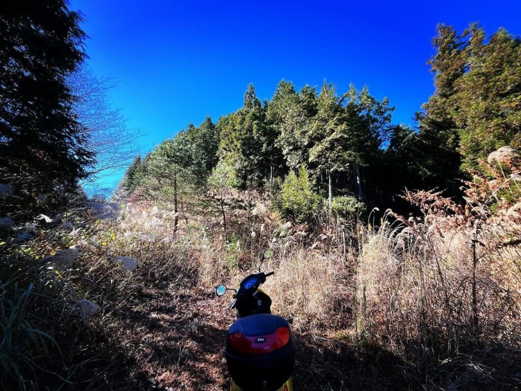
少し進むと、スクーターはここで終了。
登山道に入ります。
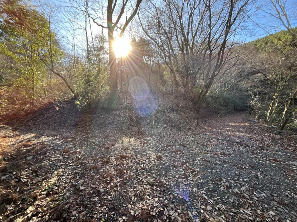
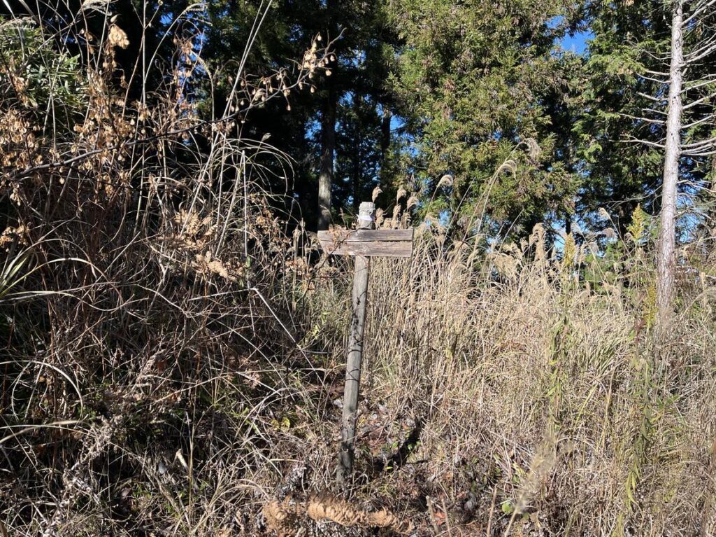
ここも道が2つに別れています。
右に進むと、中の峰登山口。
左に進むと、荒れた林道へと進みます。
後から考えると、中の峰経由の方が良かったのかもしれませんが、私は林道へと進みました。
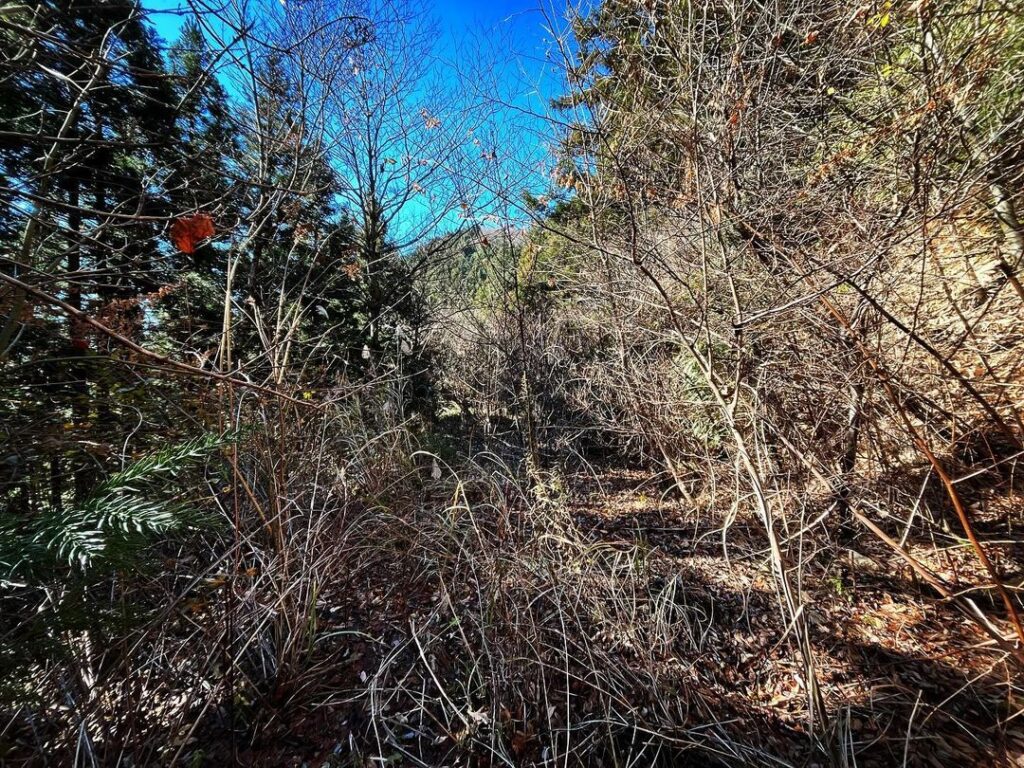
林道は荒れ放題です。
冬以外は進めないほどの、ススキや木々です。
ほぼ探検レベルですが、それでも道自体はわかりやすいのでどんどん進んでいきます。
YAMAPで確認するとわかりやすいのですが、こちらの道は山頂に続いていません。
しばらく歩くと、山頂近くで尾根が見えてきます。
尾根に上がる道がありますので、ここから尾根に登ります。
尾根に出ると、山頂に向かって登っていきましょう。
ここから急登が続きますが、ロープ地点も2ヶ所あり助かります。
道に沿って歩いていくと、途中で左側に巻き、再び尾根に戻ります。
(帰りがわかりにくいので要注意)
最後は、山頂目指して登るだけです。
山頂までは、スクーターを停めた電波塔裏の登山口から30分程度です。
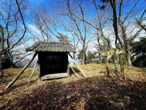
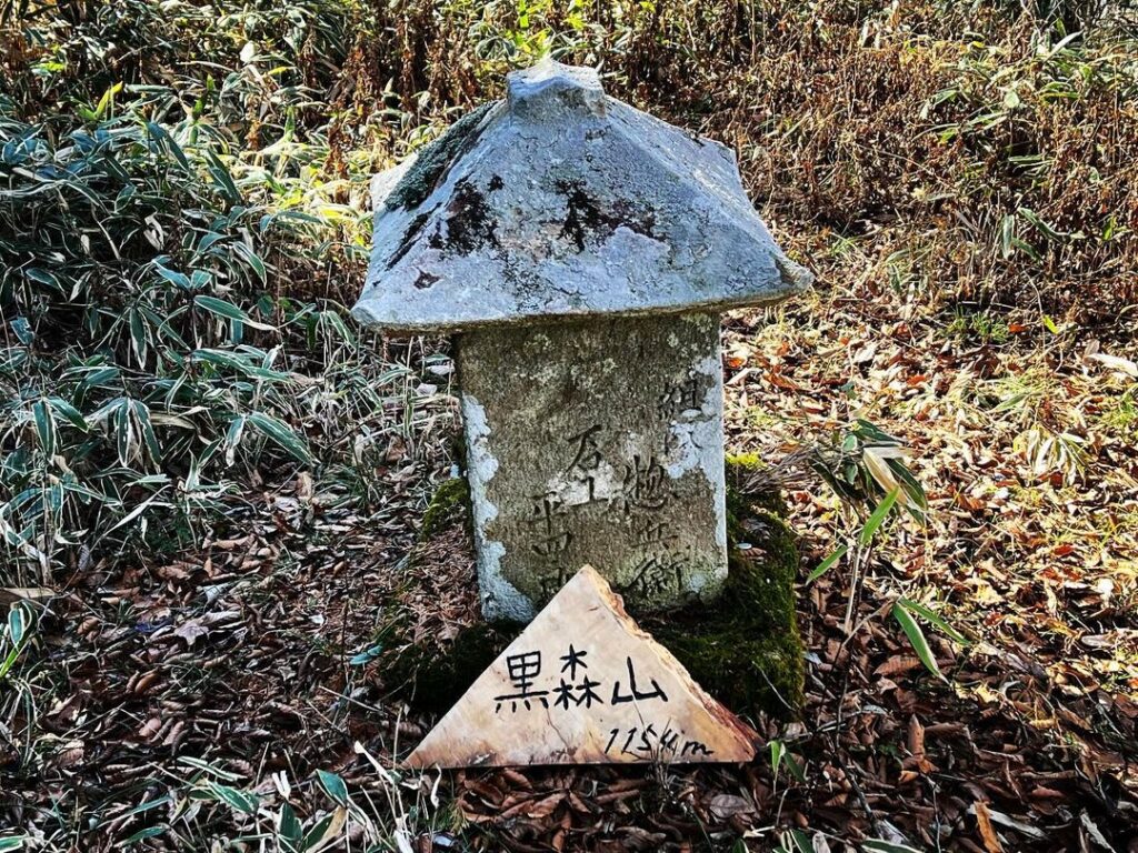
山頂は小さな広場となっており、祠があります。
刻まれている年代は、なんと天保十二年!(1841年)
歴史を感じますね。
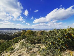
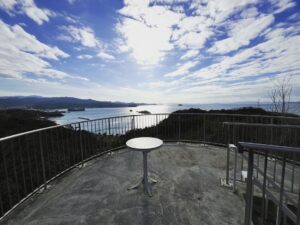
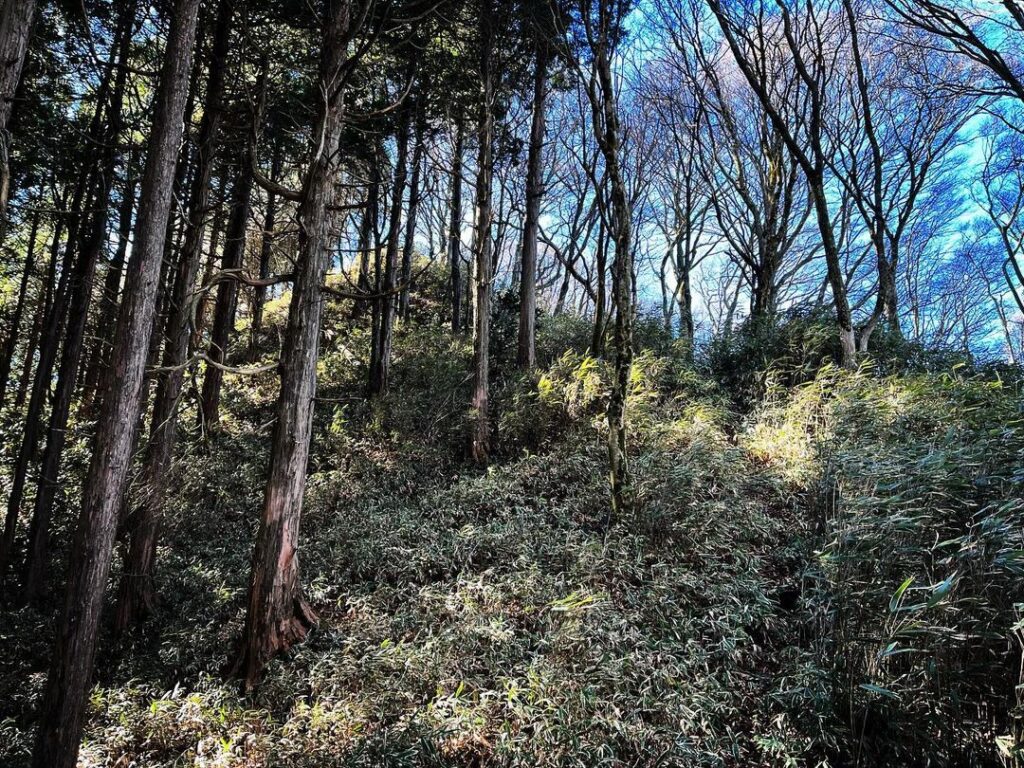
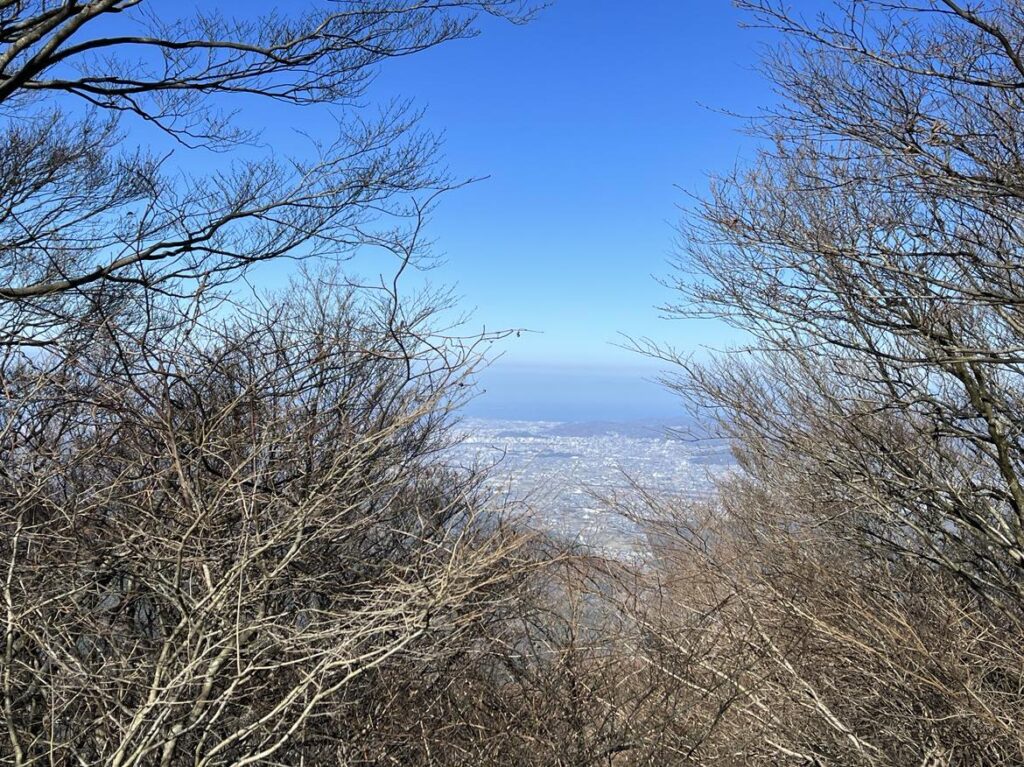
葉は落ちていますが、木々で眺望はあまりありません。
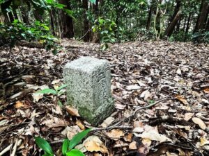
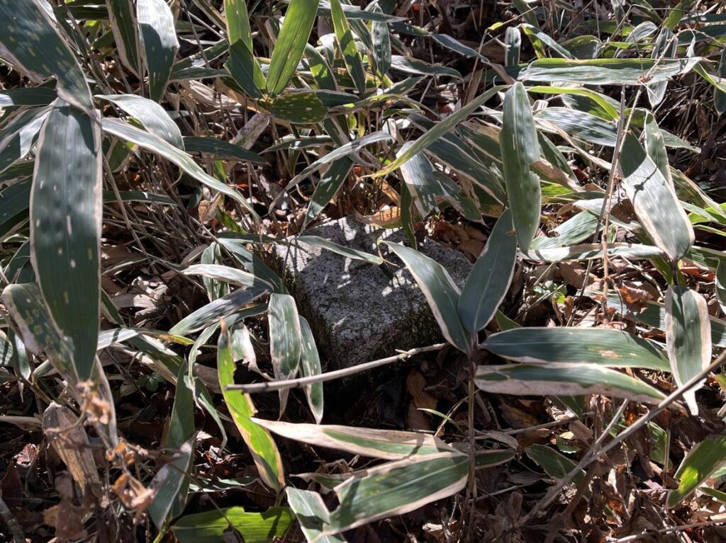
祠の奥には三角点もありました。
帰りも同じ道でスクーターまで戻ったのですが、どうして中の峰経由で戻らなかったのか、ちょっと後悔。
ススキで道がわかりませんが、左右に道があります
こちらから進むと尾根道をまっすぐ行けそうな気がします
(帰り道でなぜこちらを通らなかったのか後悔・・・)
尾根が見えているあたりがタイミングです
#黒森山
#くろもりやま
#標高1154m
#三角点
#黒森山電波塔
#愛媛の小山登り
#小山登り
#愛媛県
#松山市
#上浮穴郡
#久万高原町
#松山市で二番目に高い山
The highest mountain in Matsuyama City is Myojingamori (elevation: 1217m)
The second highest mountain in Matsuyama City is Kuromoriyama (1154m above sea level)
So I went to Kuromoriyama.
You can get to the top of the mountain by scooter!
So I went there casually, but… I was a bit naive.
First, we climbed up Route 33 toward Yasaka Pass.
After about 200 meters from the old drive-in in the direction of Kuma-Kogen Town, the fence breaks off and you will see a path to a forest road on your right.
As you enter, you will see what looks like a campground, but keep going alongside it.
If you follow the YAMAP map, there is no doubt about it, but if there is a fork, you should “always” go to the right.
If you see the Boy Scout campsite, Shin Wakeiso, you are in the right place.
Keep going up the mountain.
The path is basically unpaved, and there are some pebbles and rocks lying around, but the path is solid.
At the fork, go right!
At the last junction, turn right and head for the Kuromoriyama radio tower.
The path forks at the radio tower.
A forest road continues to the left, but take the road to the right.
After a short distance, the scooter ends here.
Enter the trail.
Again, the trail splits into two.
To the right is the Middle Peak trailhead.
If you go left, you will be on a rough forest road.
In hindsight, it may have been better to go via the middle peak, but I took the forest road.
The forest road is rough and rugged.
There are so many silver grasses and trees that it is impossible to proceed except in winter.
It is almost at the level of exploration, but the path itself is still easy to find, so I kept going.
The trail does not lead to the summit, as you can easily see from the Yamap map.
After walking for a while, you will see a ridge near the summit.
There is a path up to the ridge, so climb up to the ridge from here.
Once on the ridge, climb up toward the summit.
From here, the climb continues steeply, but there are two rope points to help you.
Walk along the path, which winds to the left halfway up and back to the ridge.
(The way back is not so easy to find, so be careful.)
At the end, you only have to climb up to the summit.
It takes about 30 minutes to reach the summit from the trailhead behind the radio tower where you parked your scooter.
The summit is a small plaza with a shrine.
The date inscribed on the shrine is the 12th year of Tempo (1841)!
You can feel the history.
The leaves have fallen, but there is not much of a view due to the trees.
There was also a triangular point behind the shrine.
We took the same road back to the scooter, but I kind of regretted why we did not go back via the middle peak.
黒森山 山頂の景色(動画)