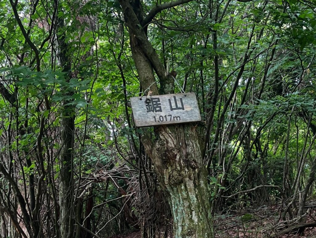
鋸山 何が鋸なのかわからない カタクリの花で有名な山(愛媛県四国中央市)標高1017.4m
カタクリの季節に行きたかった鋸山。
松山市からでは鋸山の登山口まではなかなか遠く、一度、翠波高原に上がり、北峰展望台横の道を下りていきます。
離合できるの?という細道を通り、進んでいきます。
初めてのため、駐車できるのかな?と思いながら、少し手前の広い場所に停めて歩きます。
結果としては、鋸山登山口の少し手前に2~3台ほどのスペースがありました。
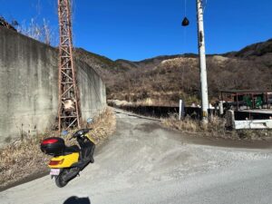
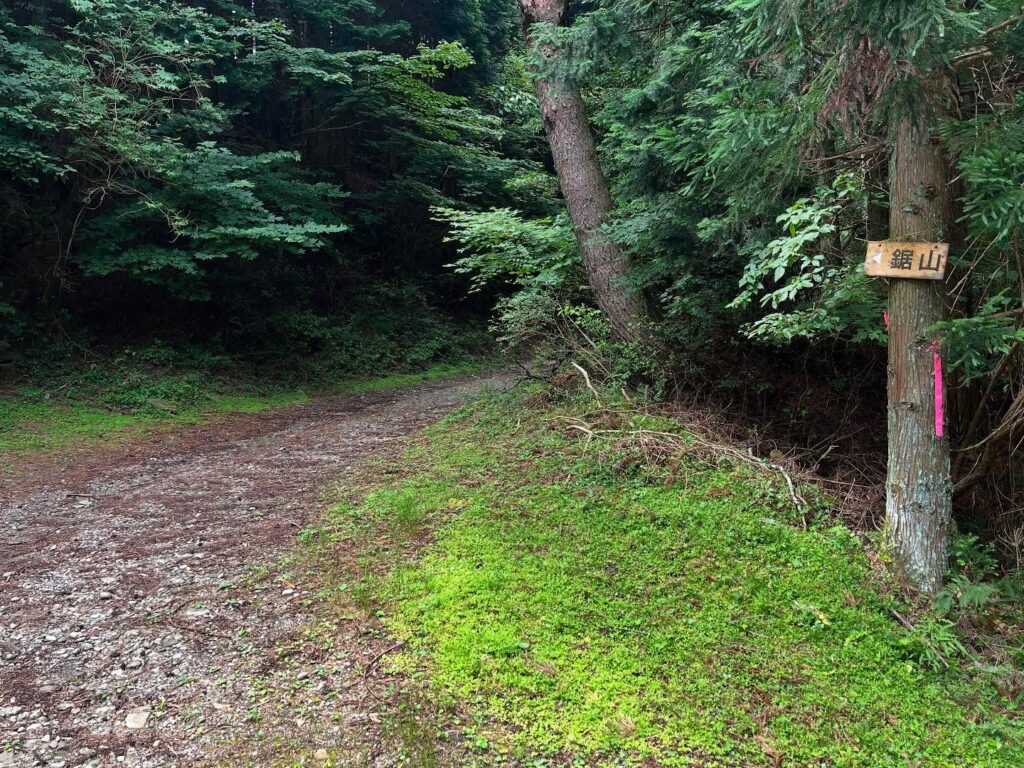
鋸山の標識がある、林道法皇線が登山口になります。
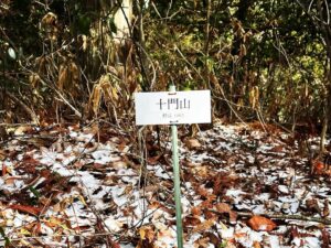
少し歩くと、先の寒川山の登山口が左手に見えます。
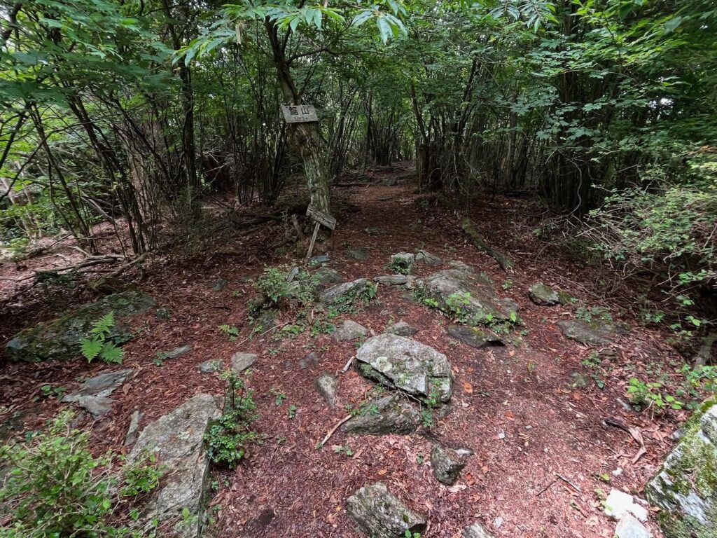
さらに進んでいくと、再び鋸山の標識があります。
ここで林道を離れて山道へ。
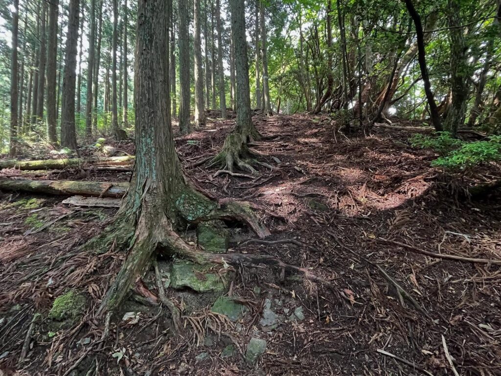
登山口から鋸山までの標高差は約200mですが、まずは一気に上がっていきます。
木々の根っこの階段を登っていくような感じ。
根っこ、苦手なのですよね(汗)
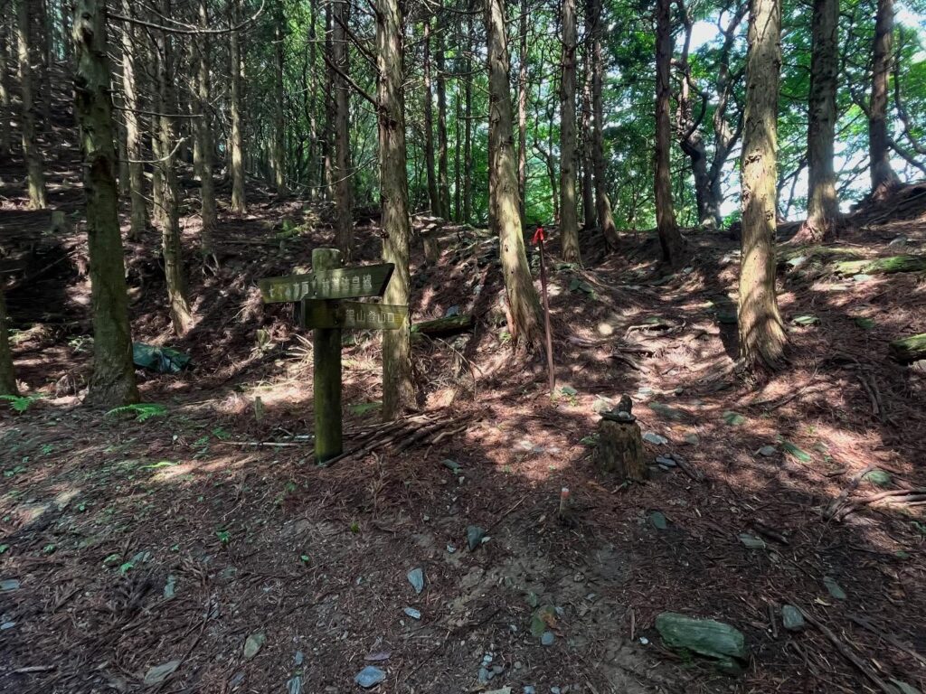
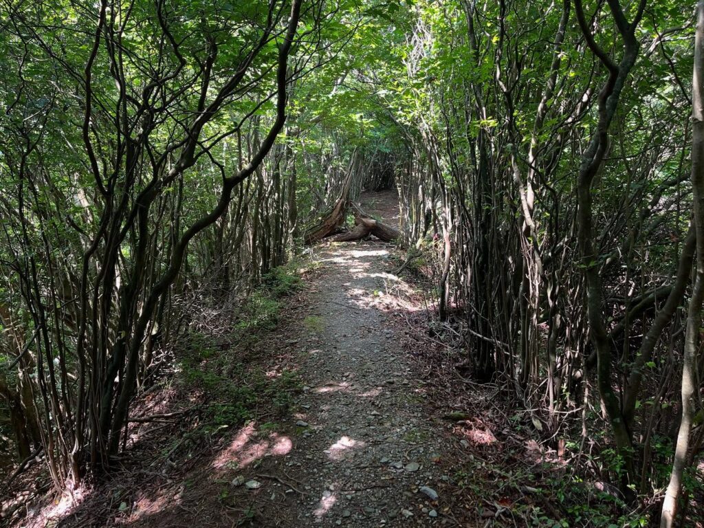
尾根に出ると、しばらく気持ちの良い景色が。
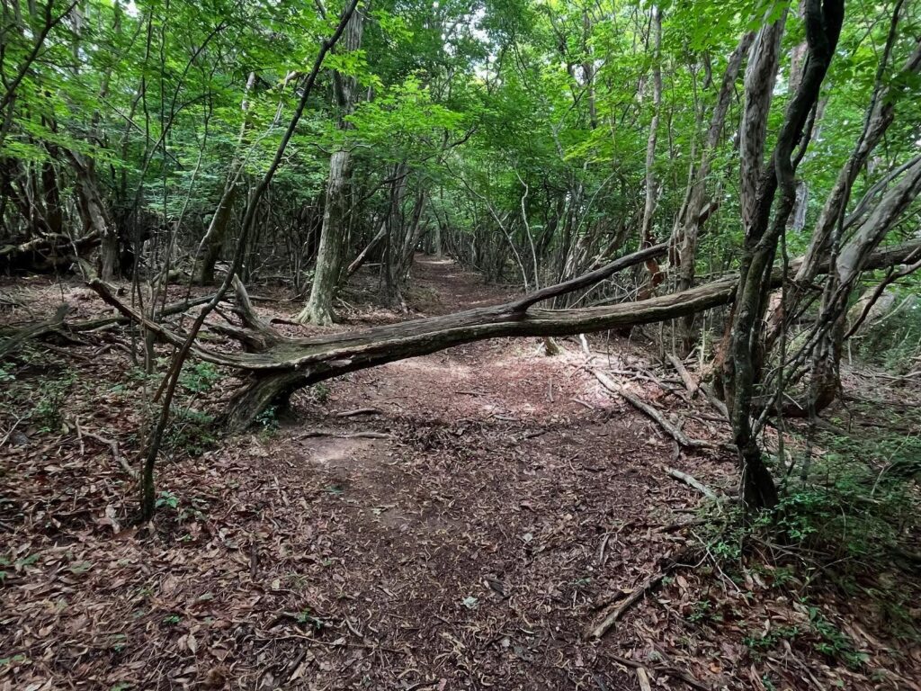
あとはじわじわと登り続けていきます。
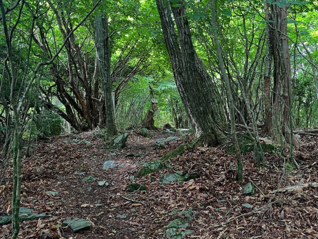
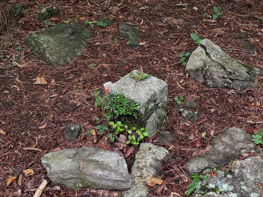
最後の登りを経て、鋸山山頂に到着です。
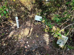
いくつかの山頂標識と三角点。
ここまでは眺望はありません。
鋸山の名前の由来を調べてみましたがよくわかりませんでした。
鋸山の山名は全国に7ヶ所あるようですが、山の形が鋸の刃のようだったり、石切場があったりしたのが理由のようです。
四国中央市の鋸山の名前の由来は何なのでしょうね?
ご存じの方がいらっしゃったら、ぜひ教えてください。
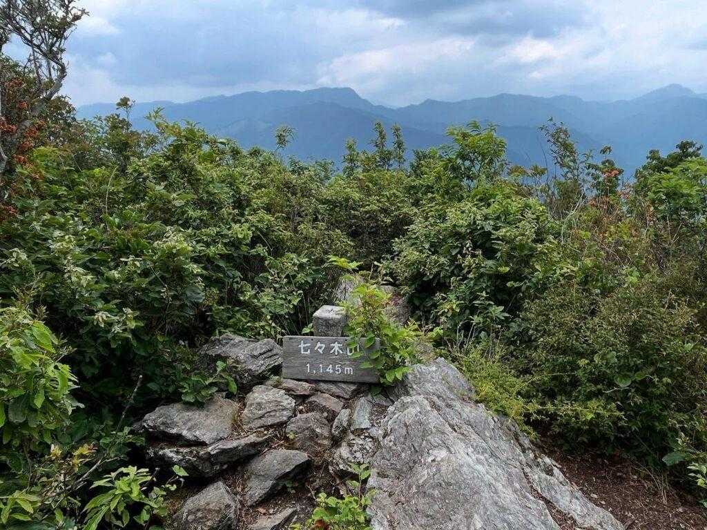
鋸山は休憩には向いていない場所なので、このまま七々木山に向かいます。
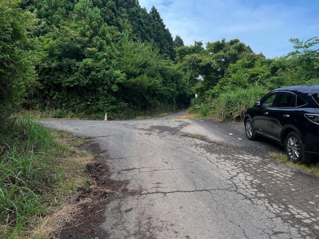
駐車が不安だったので、ここに車を停めて歩きます
この少し手前に車が2,3台縦列で置けるスペースがありました
登りは良いのですが、下りで足を引っかけます
まだまだ歩行技術が未熟です
日が照ってきて、気持ちの良い道ですね
何か所かあります
通過点の感じで休憩はしにくいです
I wanted to visit Mt.Nokogiri.
From Matsuyama City, it is quite far to the trailhead of Mt.Nokogiri.
We went up to Suiwa Plateau and descended down the road beside the North Peak Observatory. We went down the narrow road to the north of the mountain.
Since it was our first time, we wondered if we could park there. We parked in a wide space a little before the trailhead and walked on.
As a result, we found a space for two or three cars a little before the Sawtooth Mountain trailhead.
The trailhead is on the forest road Houou line, marked with a sign for Mt.Nokogiri.
After a short walk, you will see the trailhead for Mt.Sangawa.
Further on, you will see the Sawtooth Mountain sign again.
Here you will leave the forest road and take the mountain road.
The elevation gain from the trailhead to Mt. Nokogiri is about 200 meters, but first you will go up in a single bound.
It feels like climbing up a staircase of tree roots.
Roots, I’m not good at.
Once you get to the ridge, you will have a pleasant view for a while.
The rest of the way, we continued to climb slowly.
After the final climb, we arrived at the summit of Mt.Nokogiri.
Some summit markers and a triangulation point.
There is no view up to this point.
I looked up the origin of the name of Mt.Nokogiri.
There are seven places in Japan named after Mt. Nokogiri, and the reason seems to be that the shape of the mountain resembles a saw blade or that there was a quarry.
I wonder what the origin of the name of Sawtooth Mountain in Shikokuchuo City is?
If anyone knows, please let us know.
Mt.Nokogiri is not a good place for a rest, so we will continue on to Mt. Nanaki.
#鋸山
#のこぎりやま
#標高1017m
#法皇山脈
#カタクリ
#愛媛の小山登り
#小山登り
#愛媛県
#四国中央市
#三角点
鋸山の登山口
鋸山のMAP
活動データ(YAMAP)
活動データはYAMAPからご覧ください↓