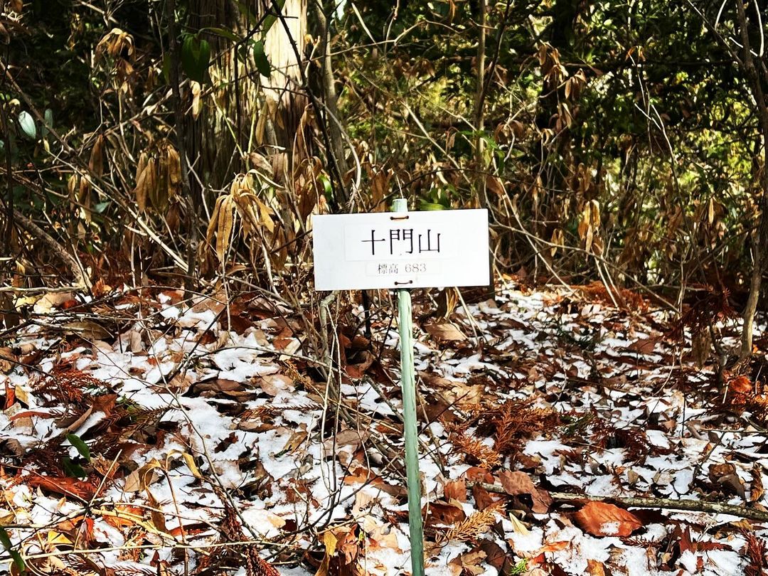
十門山 ヨソ山から縦走できます、林道からも登れます(愛媛県東温市)標高683m
マイナーすぎて読み方もわからないのですが、ヨソ山に登ったらセットで登りたい十門山。
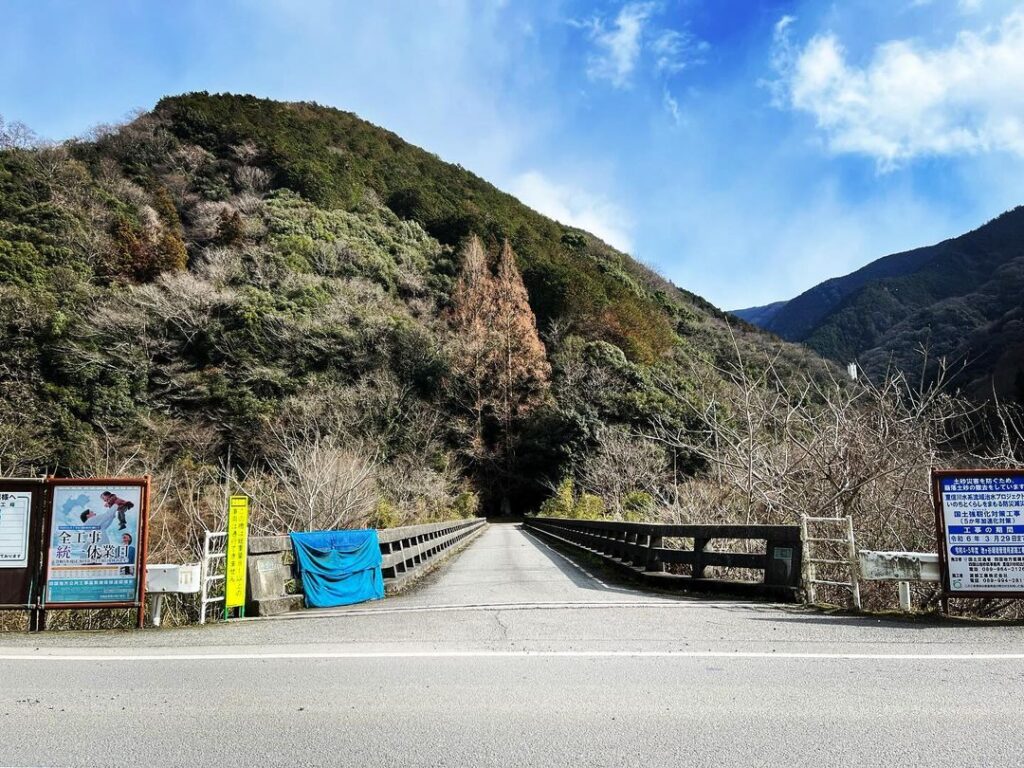
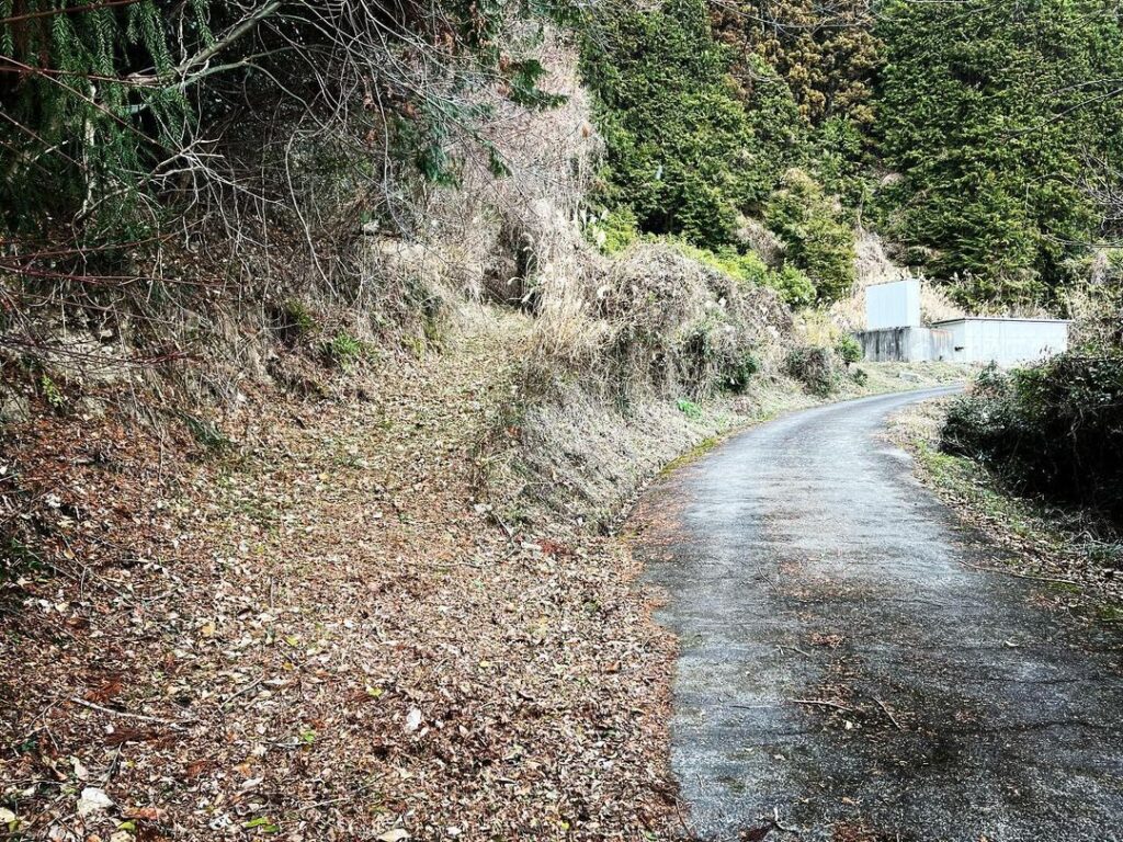
ヨソ山から縦走できるのですが、時間の関係で、林道の別の登山口からスタート。
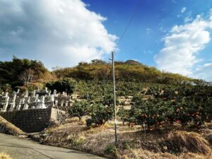
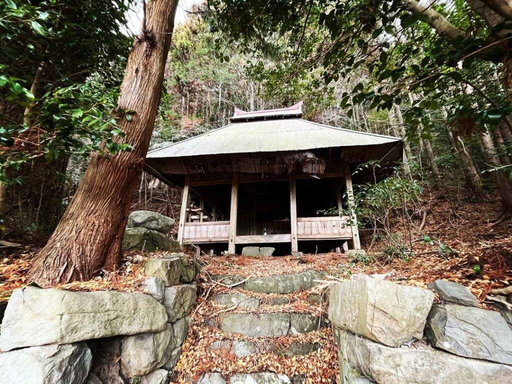
五十八社大明神のすぐ近くにある登山口が、十門山に最も近い登山口です。
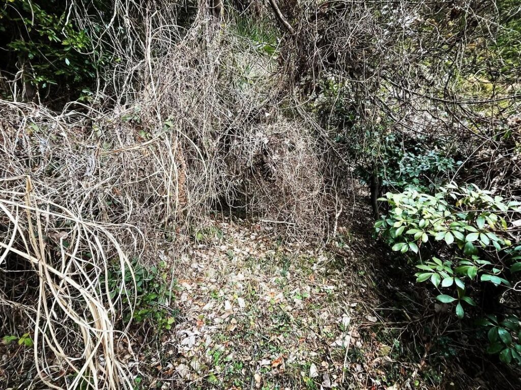
まずは、木々が道を塞いでいるので、横からくぐり抜けます。
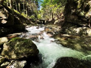
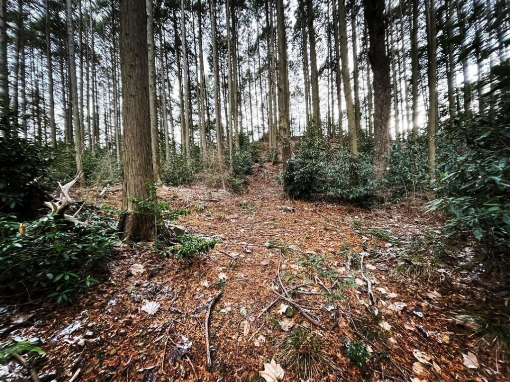
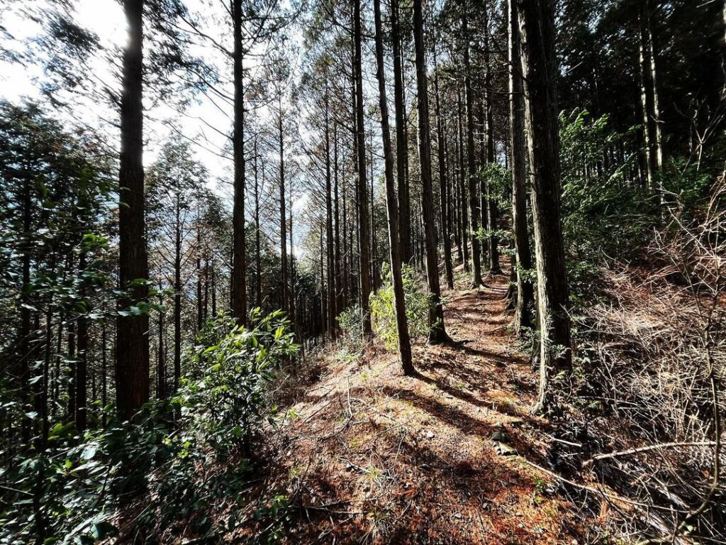
その後は、巡視路がしっかりしていて歩きやすいです。
まずは尾根まで登ります。
途中、分かれ道がありますが、曲がらずに尾根まで登ります。
尾根についたら西側の道へ。
東側の道はヨソ山へ続きます。
高低差はあまりありません。
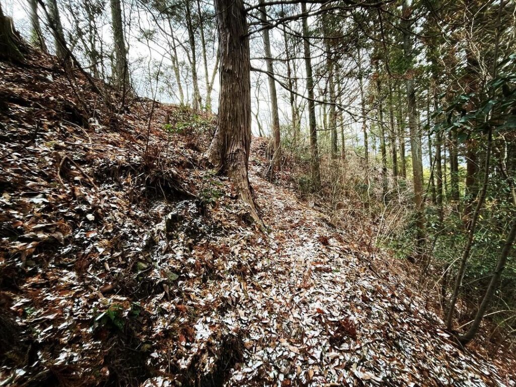
杉木の中を進み、そのご斜面の道へ。
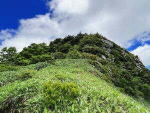
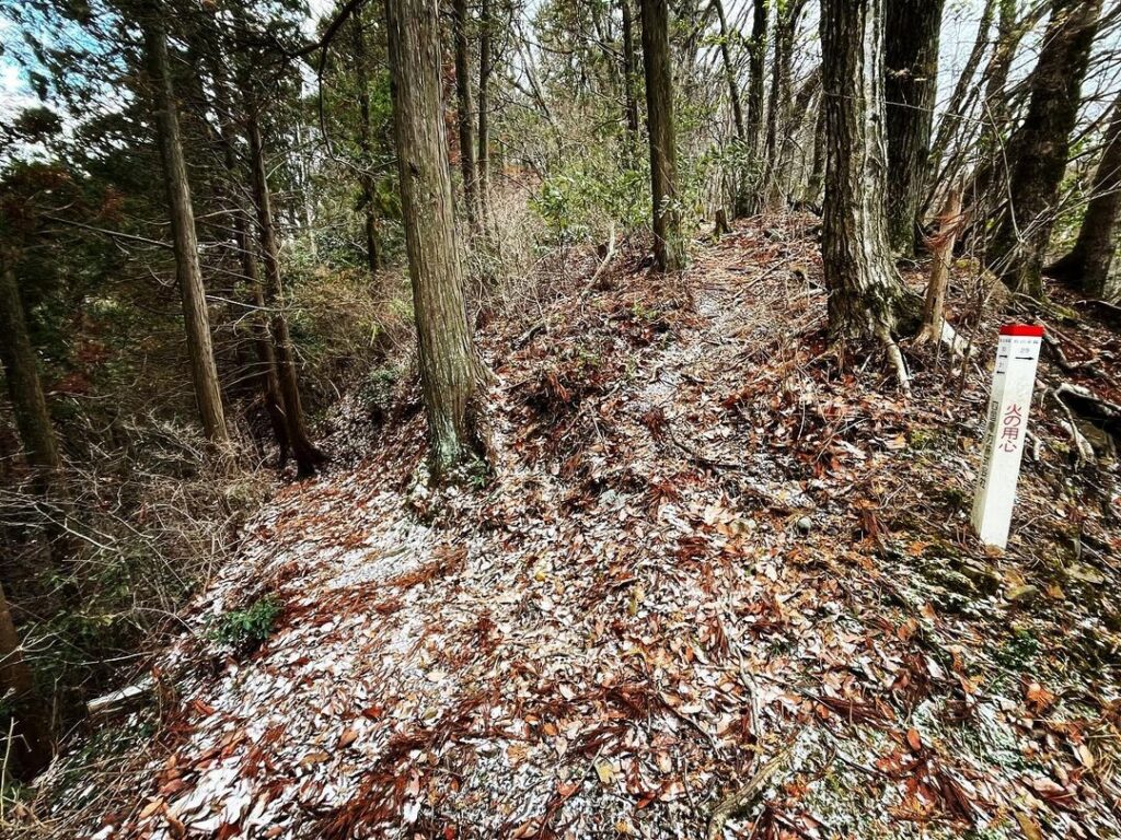
再度、尾根に出たら折り返してピークを登ります。
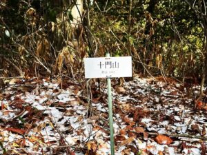
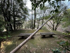
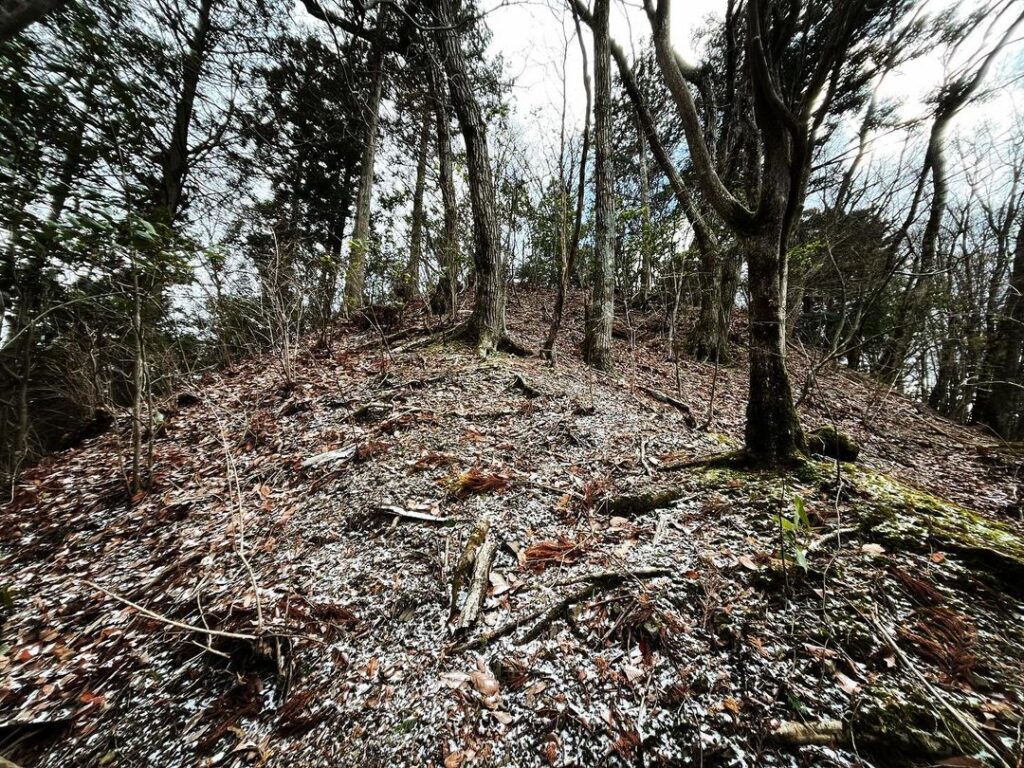
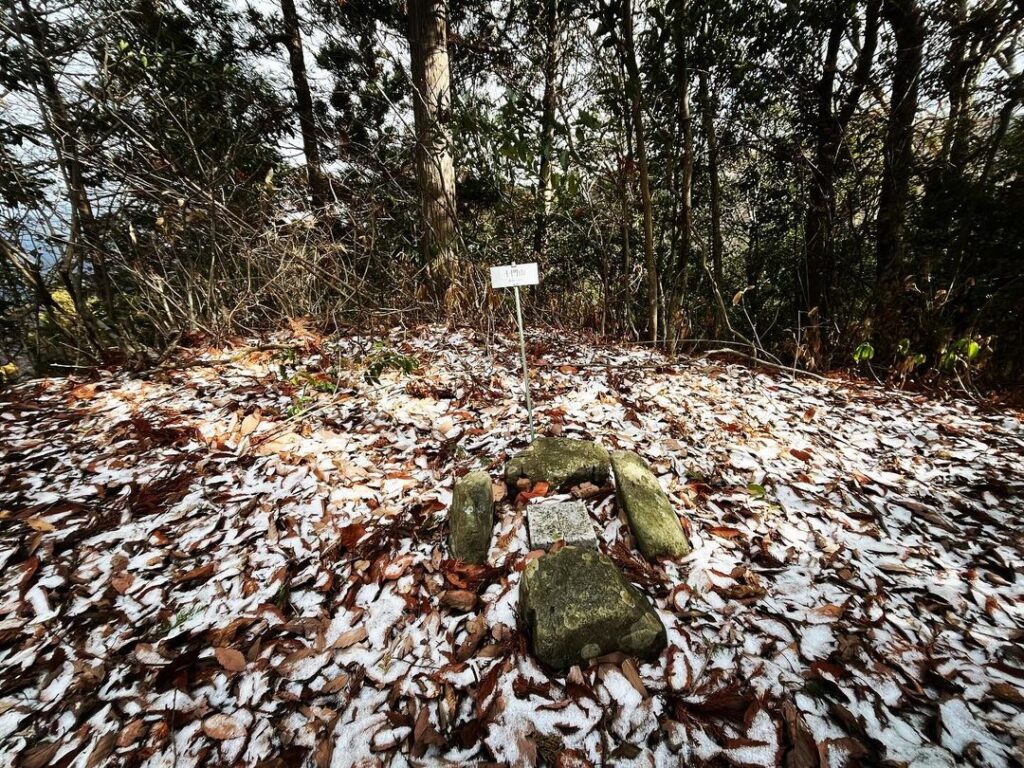
2ピークになっていますが、奥のピークが十門山です。
小さな標識と三角点が出迎えてくれます。
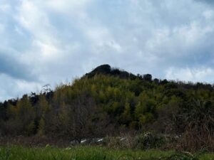
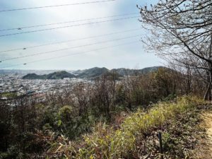
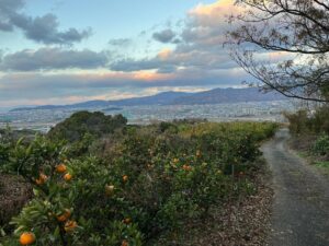
眺望は木々の隙間から、冬季は少しだけ楽しめます。
こちら城址となっているのですが、山頂はかなり狭いです。
いったい、どんな城だったのでしょう?
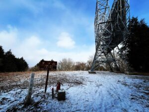
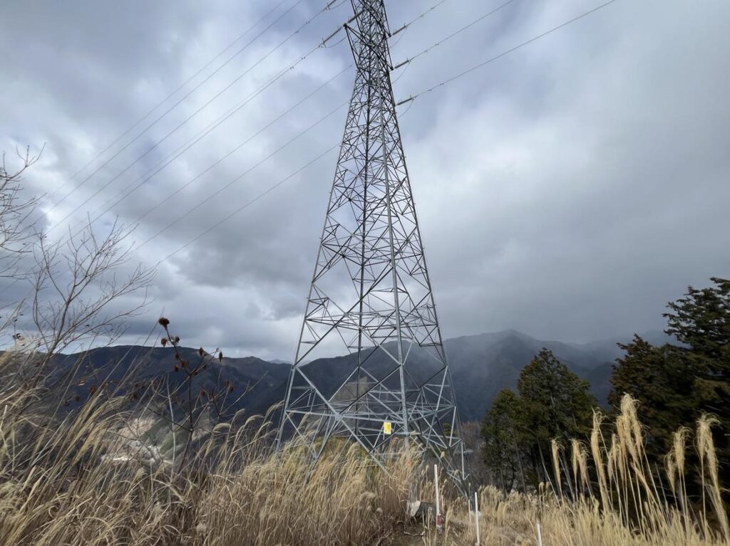
ちなみにそのまま進むと送電鉄塔があります
#十門山
#じゅうとやま
#標高683m
#十門城跡
#十門城址
#麓城跡
#愛媛の小山登り
#小山登り
#愛媛県
#東温市
#五十八社大明神
#三角点
#ヨソ山
Jutoyama, which is so minor that I don’t even know how to read it, but I want to climb it as a set when I climb Mt. Yoso.
Yoso, but due to time constraints, we started from another trailhead on the forest road.
The trailhead near the 58th Shrine Grand Shrine is the closest trailhead to Jutoyama.
First, trees block the path, so we had to pass through from the side.
After that, the path is well marked and easy to walk on.
First, climb up to the ridge.
On the way, there is a fork in the road, but do not turn and climb up to the ridge.
When you reach the ridge, take the path on the west side.
The path on the east side leads to Mt. Yoso.
There is not much difference in elevation.
Continue through the cedar trees and then take the slope path.
When you reach the ridge again, turn around and climb the peak.
There are two peaks, the far peak is Jutoyama.
A small sign and a triangular point welcome you.
The view can be enjoyed through the trees for a short while during the winter season.
十門山の入り口(荒木谷バス亭)
五十八社大明神のMAP
十門山の登山口(五十八社大明神横)
十門山のMAP