佐々久山・佐々久神社(愛媛県西条市)標高55.90m
丹原町での本日最終の山は佐々久山。
大影集会所が目印の一つです。
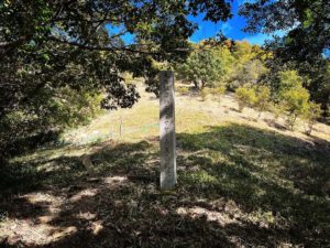
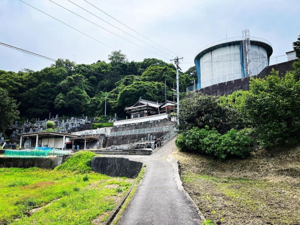
墓地のところから貯水タンクに向かって上がっていきます。
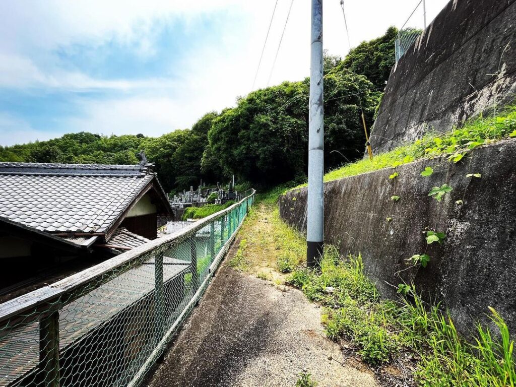
墓地の上を横切る道がありますので、こちらを進みます。
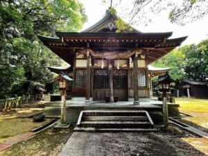
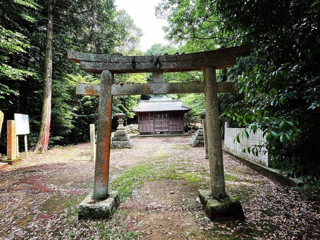
すぐに佐々久神社に到着します。
佐々久山の登山口は、鳥居を背にしたところ。
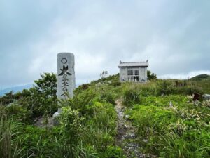
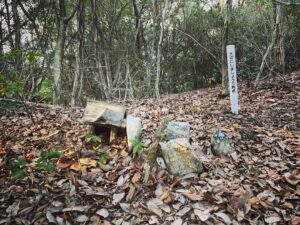
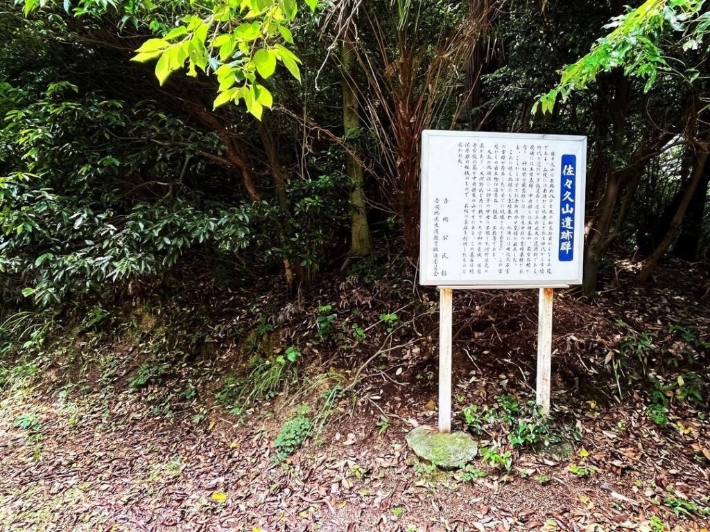
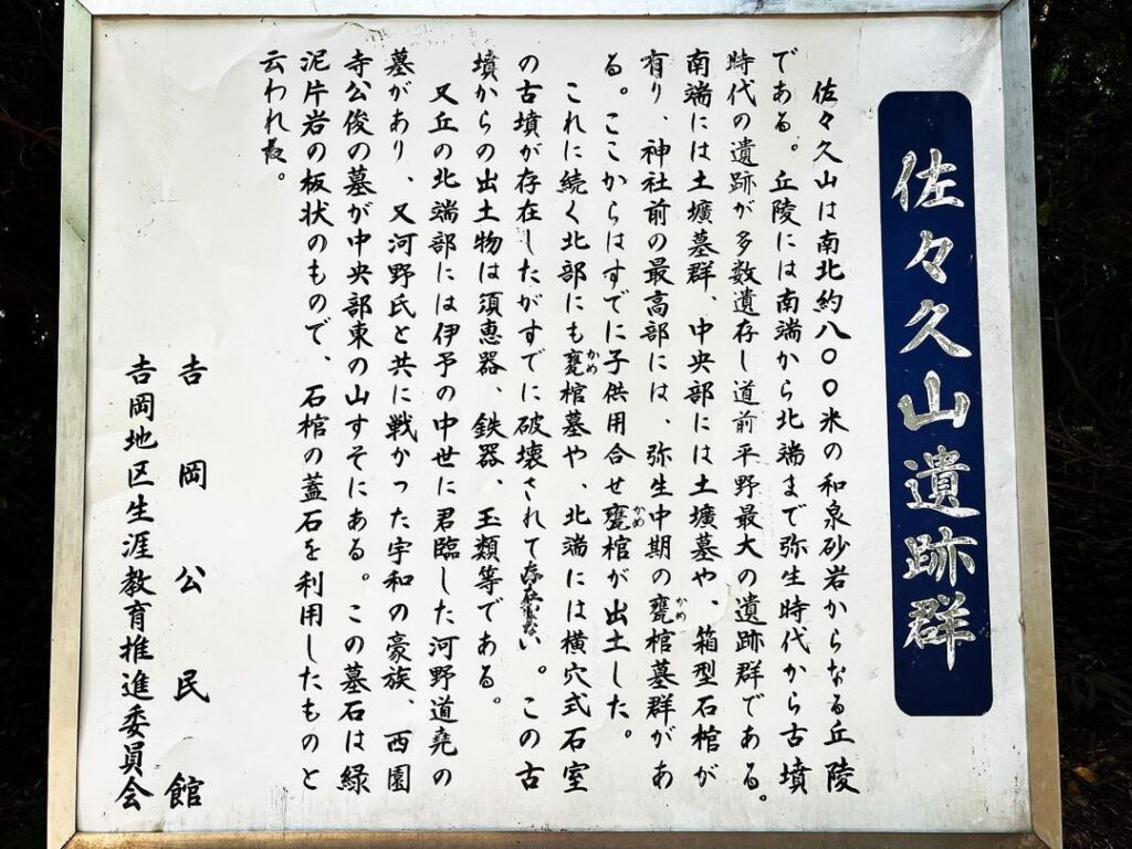
佐々久山遺跡群の看板の左脇から登っていきます。
これは知らないと登れない(汗)
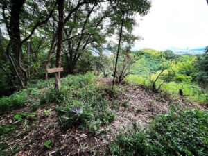
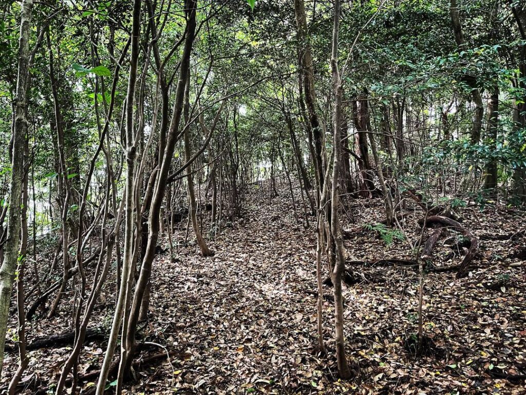
山頂はすぐですので、上を目指して、木々の間を抜けて登っていきます。
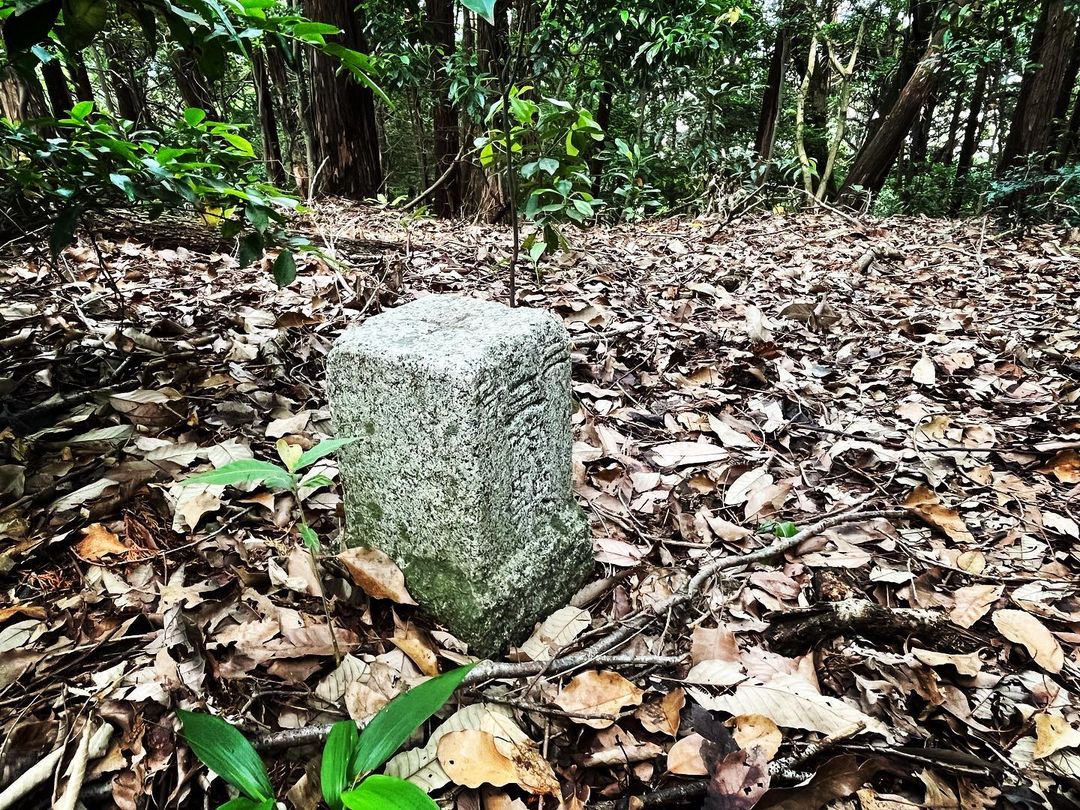
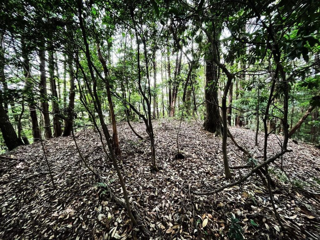
少し登ると山頂です。
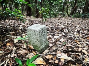
三角点もありますよ。
#佐々久山
#ささくやま
#標高56m
#壬生川地区上水道配水池
#佐々久神社
#大影集会所
#愛媛の小山登り
#小山登り
#愛媛県
#西条市
#旧東予市
The final mountain of the day in Tanbara-cho is Mt. Sasaku.
The Okage meeting house is one of the landmarks.
From the cemetery, go up toward the water storage tank.
There is a path that crosses over the cemetery, so continue on this path.
You will soon reach Sasaku Shrine.
The trailhead for Mt. Sasakusan is just behind the torii gate.
You will climb up from the left side of the signboard for the Sasakusan Ruins.
You need to know this to climb up.
The summit is just a short distance away, so aim for the top and climb through the trees.
After a short climb, you will reach the summit.
There is also a triangulation point.