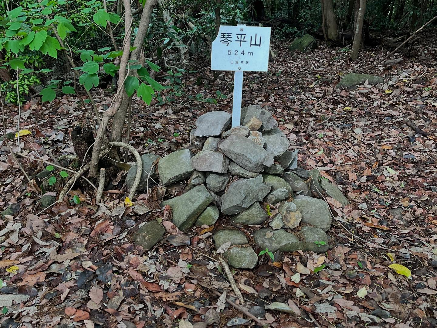
琴平山 厳魂神社(奥社)の上あたりにある山頂(香川県善通寺市)標高524m
これまたややこしいのですが、大麻山と象頭山を含めた全体の山塊を「琴平山」と呼ぶそうです。
それとは別に、厳魂神社(奥社)の上あたりを狭義の「琴平山」というそうです。
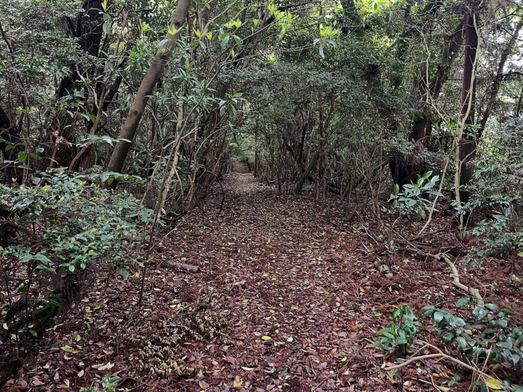
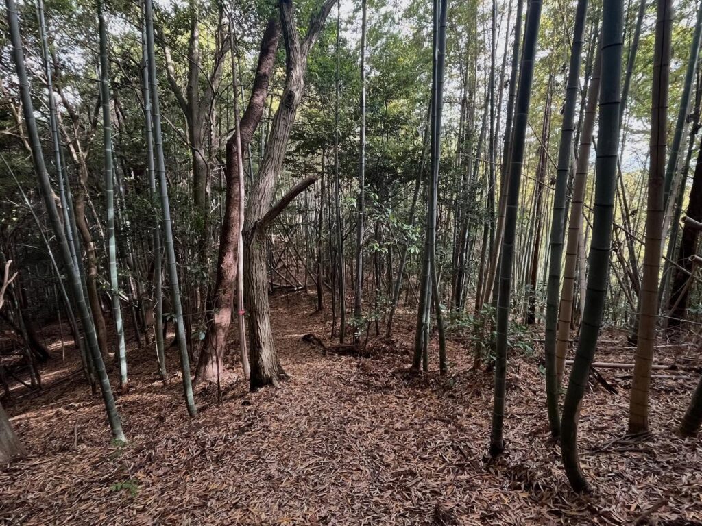
象頭山から琴平山まではわずか0.4km。
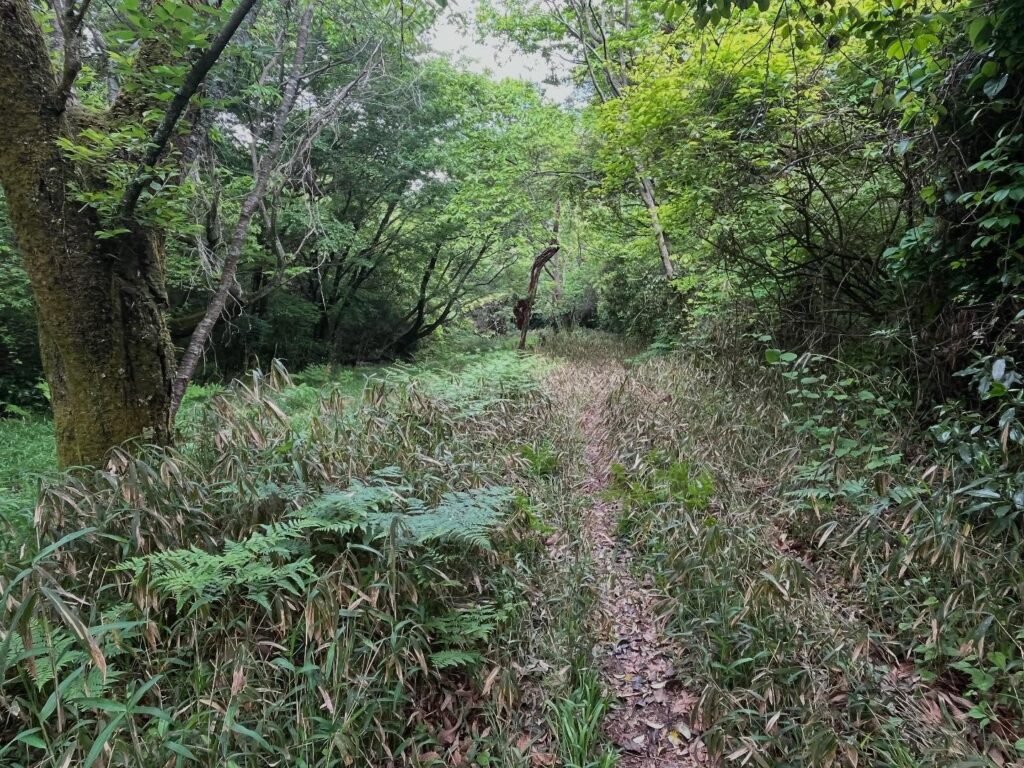
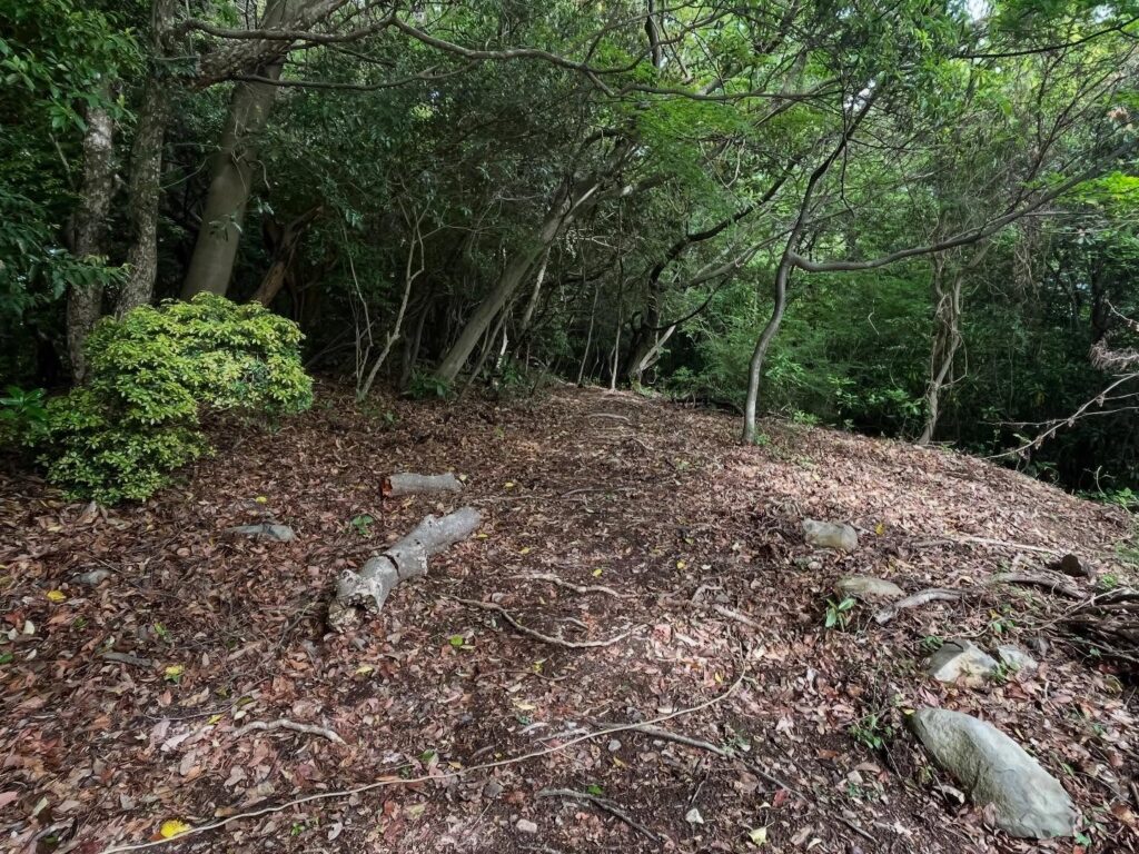
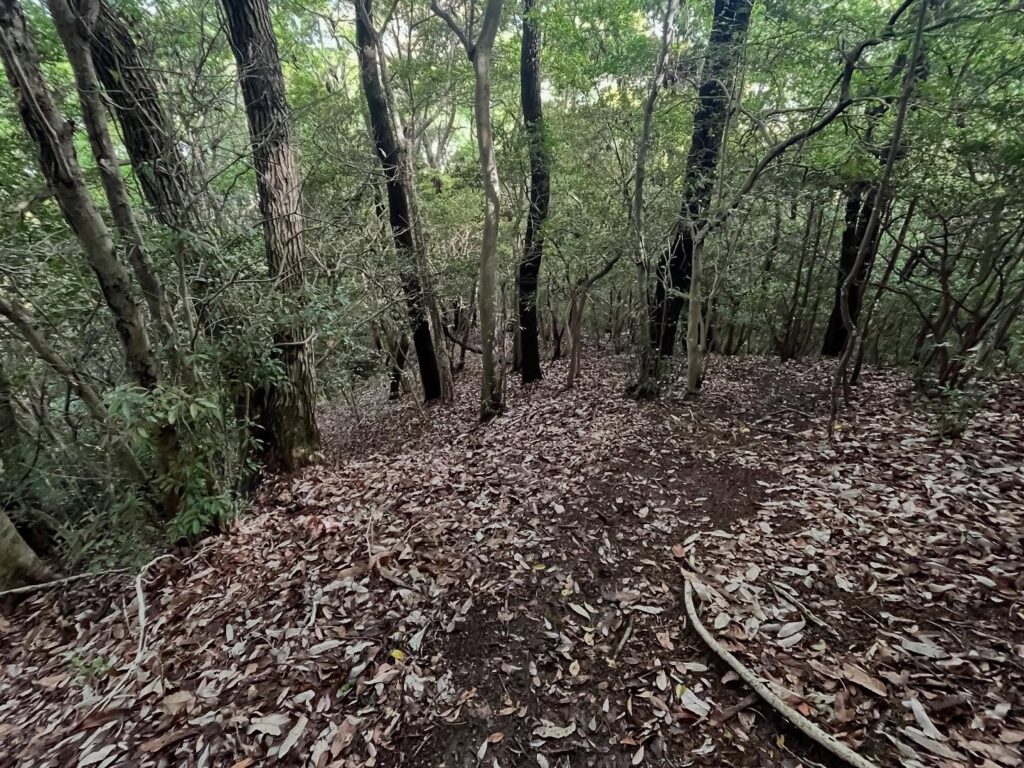
しばらく草原の中の小道を歩き、そこから山道の小道に変わります。
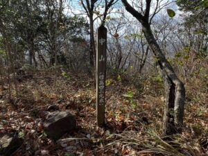
すぐに到着するのですが、標識が道から少し外れているため、意識していないと通り過ぎてしまいます。
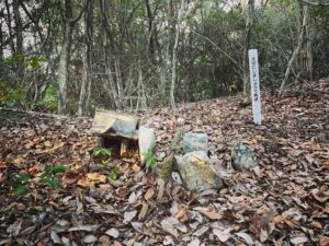
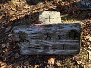
石積みの上に琴平山の標識があります。
こちらも眺望はありませんが、とにもかくにも、大麻山-象頭山-琴平山の縦走達成です!
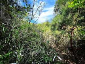
この後、八景山に登ることもあり、下りは牛屋口方面に降りてみました。
YAMAPで見ると真っすぐの道、ということは・・・約350mの急な下りでした。
雨の翌日ということもあり、足元が滑ります。
半歩ずつ歩くので、予定よりかなり時間がかかってしまいました。
細いですが、ロープで誘導してくれているのがありがたかったです。
こちらからは登りたくないですねぇ(汗)
横に進んでいく感じです
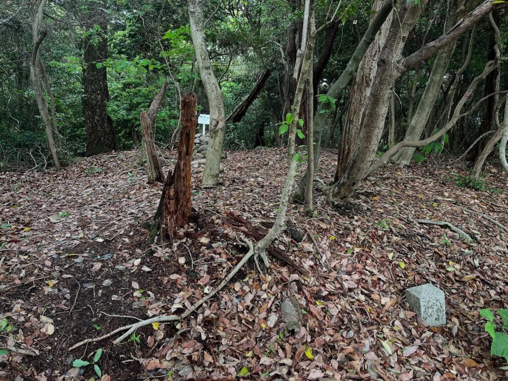
道から少し奥にあるため、意識していないと見逃すかも

山頂とういうより、この場所を琴平山とした感じでしょうか?
YAMAPのGPSが少しずれたのか
道が少し外れた感じに
道だと信じて進んでいきます
昨日の雨のせいで足元が滑ります
振り返ると、坂本龍馬象があります
#琴平山
#ことひらやま
#標高524m
#愛媛の小山登り
#小山登り
#香川県
#善通寺市
#金刀比羅宮
#ことひらぐう
#こんぴらさん
This is also complicated, but it is said that the Kotohira mountain massif including Mt.Osa. and Mt.Zozu.
Apart from that, the area above the Izutama Shrine (Okusha) is called “Mount Kotohira” in a narrower sense.
It is only 0.4 km from Mt.Zozu. to Mt. Kotohira.
The trail leads along a grassy plain for a while, and then turns into a mountain trail.
It is a short walk, but the sign is a little off the path, so if you are not aware of it, you may pass by it.
There is a sign for Mt. Kotohira on a stone pile.
There is no view here either, but at any rate, we have completed the traverse of from Mt.Zozu to Mt.Kotohira!
After this, we went down toward the Ushiyaguchi direction, as we had to climb Hakkeiyama later on.
The path is straight when you look at it in YAMAP, which means … it was a steep descent of about 350 meters.
Since it was the day after the rain, it was slippery underfoot.
We walked half a step at a time, so it took much longer than planned.
It was narrow, but we were thankful for the rope to guide us.
I don’t want to climb from here.
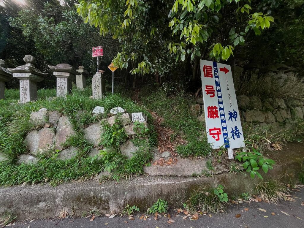
大麻山(象頭山)の登山口
大麻山のMAP
象頭山のMAP
琴平山のMAP
琴平山の登山口(牛屋口)