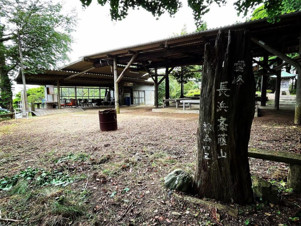
斎藤山 標高シ・コ・クの霊場(愛媛県大洲市)標高459.05m
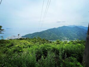
肱川河口にそびえる斎藤山。
肱川あらし展望公園の対岸にあるお山です。
登山口は穂積側と下平側の2ヶ所あるそうなのですが、わかりやすい穂積側から登ってきました。
結果として、頂上まで行けてしまったので、今回はスクーター登山でした。
金山出石寺に向かう県道28号を、石鎚大権現に向かって右折します。
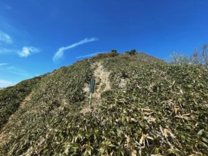
あとはどんどん登っていくだけです。
道は狭く、離合するのはかなり困難かと思われます。
にも関わらず、上から1台、車が降りてきましたので、地元の方は普通に車で登られるのでしょうか?
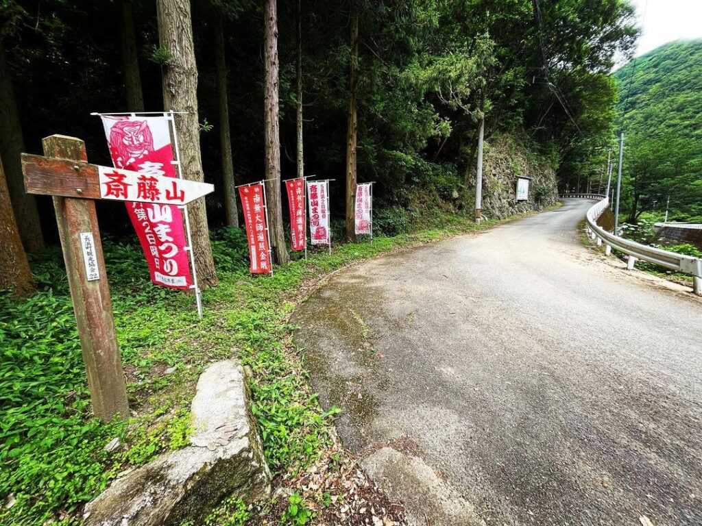
実は、5月第2日曜日に山頂で「長浜斎藤山まつり」が開催されるそうです。
ググってみたところ、かなりの人が集まるお祭りなのですが、皆さん、どうやって山頂まで登っていかれるのでしょうね?(汗)
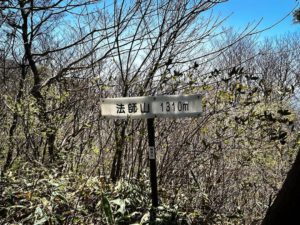
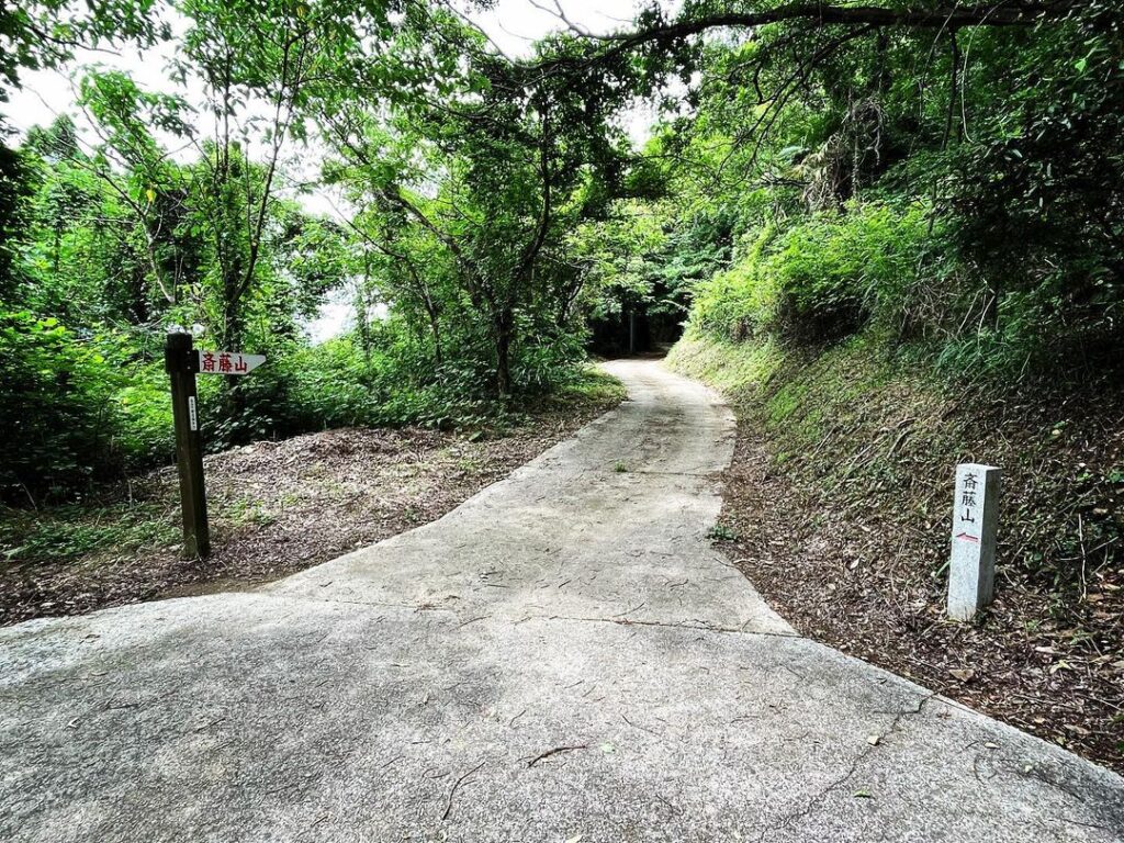
道のあちこちに斎藤山の標識があるので、迷うことはないかと思います。
1ヶ所だけ斎藤山霊場の標識があるのですが、こちらに進みましょう!
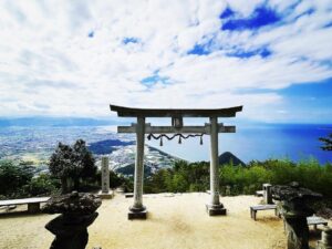
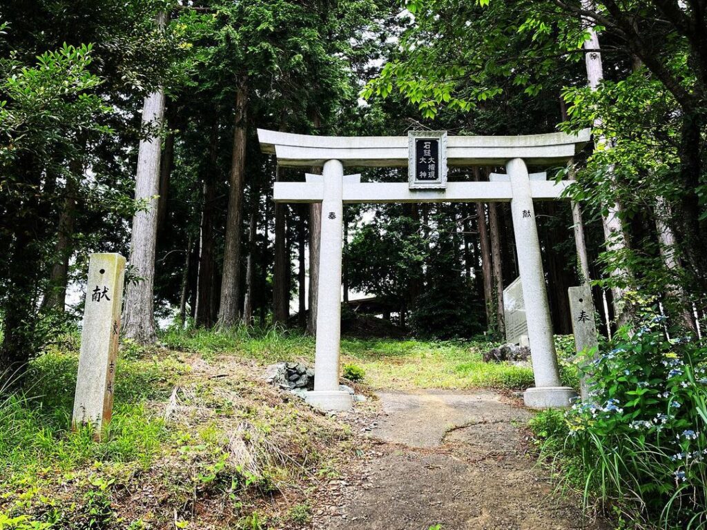
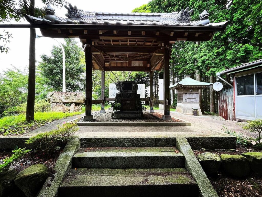
山頂には石鎚大権現の鳥居が。
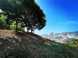
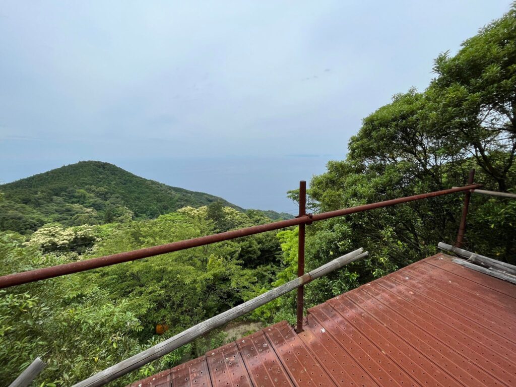
奥には鉄塔前に、駐車場であろう広場があります。
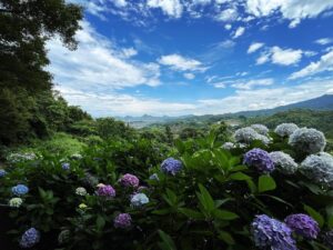
こちらの広場からは、長浜の町、瀬戸内の海の展望が見れます。
鳥居をくぐって、石鎚大権現にお参り。
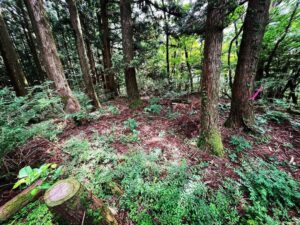
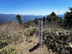
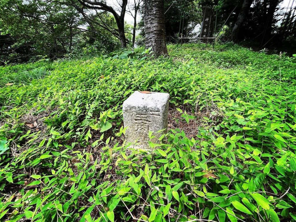
本殿の後ろの石板裏に三角点があります。
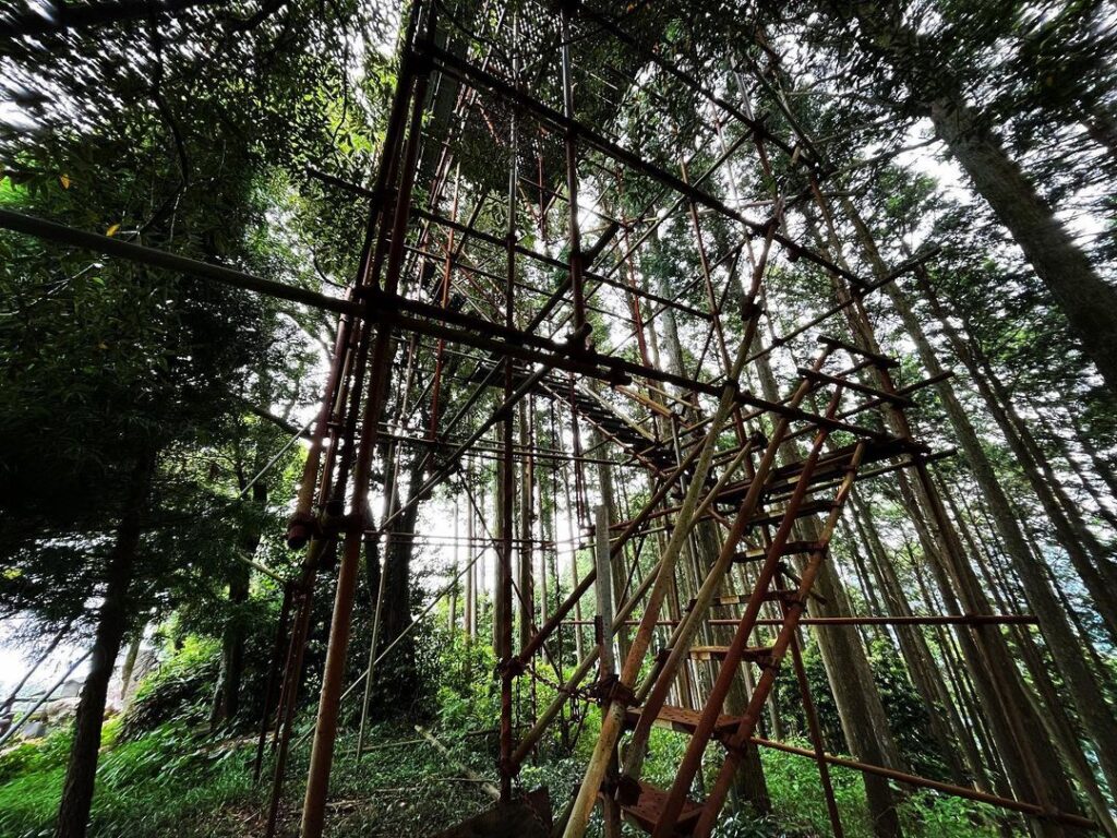
奥に進むと、足場で組まれた展望施設が。
お祭りの際に使われるのでしょうか?
さらに奥には縁結び大師像が見守ってくださっています。
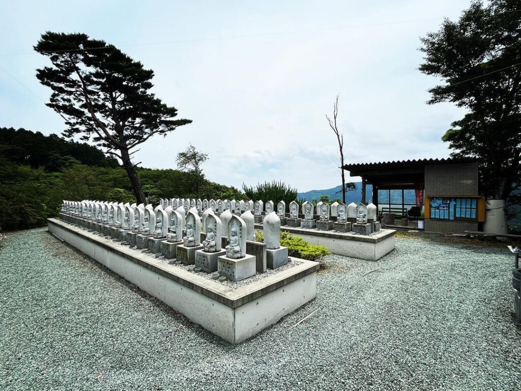
山頂から少し下りたところから、「斎藤山八十八ヵ所霊場」に行けます。
しっかり廻って、御利益、御利益。
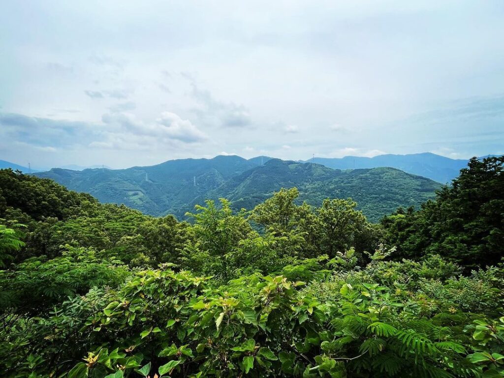
こちらからは山側の展望も楽しめますよ。
#斎藤山
#さいとうやま
#標高459m
#愛媛の小山登り
#小山登り
#愛媛県
#大洲市
#長浜町
#三角点
#石鎚大権現
#石鎚大権現石鎚大神
#弘法大師
#縁結び大師
#5月第2日曜日
#長浜斎藤山まつり
#斎藤山八十八ヵ所霊場
Mount Saito rises at the mouth of the Elk River.
This mountain is located on the opposite bank of the Elk River from the Elk River Arashi Observation Park.
I heard that there are two trailheads, one on the Hozumi side and the other on the Shimodaira side, but we climbed from the Hozumi side, which is easier to find.
As a result, we were able to reach the top, so this time we climbed the mountain by scooter.
On Prefectural Road 28 leading to Kanayama Izushiji Temple, turn right toward Ishizuchi Daigongen.
The rest of the way is uphill and uphill.
The road is narrow and it seems quite difficult to separate from the road.
In spite of this, we saw a car coming down from the top, so we wondered if the locals usually drive up the mountain.
Actually, I heard that the Nagahama Saito Mountain Festival is held at the top of the mountain on the second Sunday in May.
I googled the festival and found that it attracts quite a few people, but I wonder how everyone climbs up to the summit?
There are signs for Mt. Saito all over the road, so I don’t think you will get lost.
There is only one sign for the Mt. Saito sacred place, so let’s go this way!
At the top of the mountain is the torii gate of Ishizuchi Daigongen.
In the back, in front of the steel tower, there is a square that may be a parking lot.
From this plaza, you can see the town of Nagahama and a view of the Seto Inland Sea.
Passing through the torii gate, we paid our respects to Ishizuchi Daigongen.
Behind the stone slab behind the main shrine is a triangular point.
Going further back, you will see an observation deck built on scaffolding.
Is it used during festivals?
Further back, a statue of the Great Monk of Marriage watches over us.
A short walk down from the summit leads to the 88 sacred sites on Mt.
Make sure to go around and enjoy the blessings of the 88 sacred places.
You can also enjoy the view of the mountain side from here.