割石東山 黒森峠から青滝山へ続く道の最初のピーク(愛媛県東温市)標高1073m
先日、割石峠から黒森峠に下りた際に見落としていた割石東山。
忘れ物登山として、早速、登ってきました。
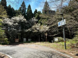
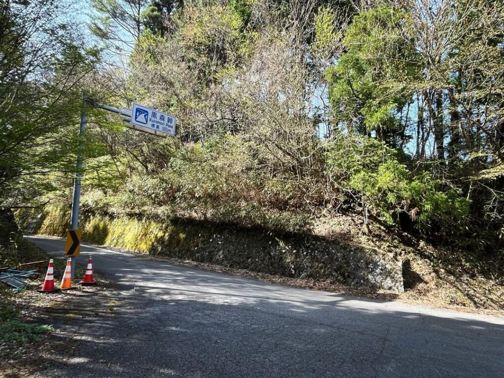
国道494号線の黒森峠駐車場の目の前にある塀の端が登山口です。
かなり彷徨って見つけることができました。
石墨山への登山口を含めて、黒森峠からの登山口って、どうして塀の端なのでしょうね?
ということで早速登っていきます。
標高差は100mちょっとなので、基本的にはなだらかな道なのですが、途中に坂が2カ所あるイメージです。
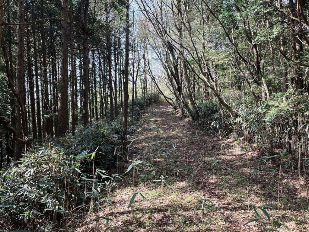
しばらく歩くと道が広くなります。
車も通れないのに、どうしてこんなに広い道を?
と思っていたのですが、これが防火帯ってやつなのですね。
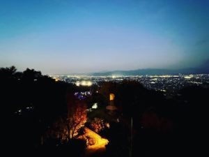
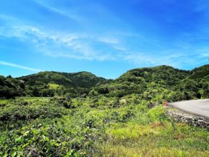
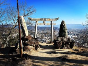
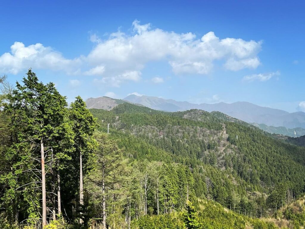
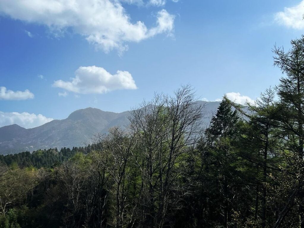
最初の坂がお奨めビューポイント。
石墨山、法師山方面がきれいに一望できます。
特にピークあたりに、眺望スポットがあります。
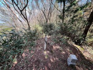
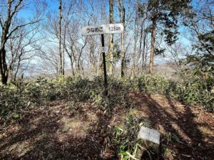
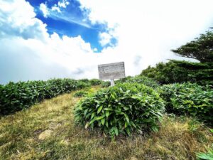
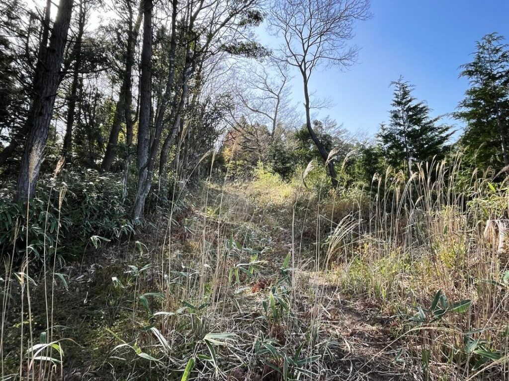
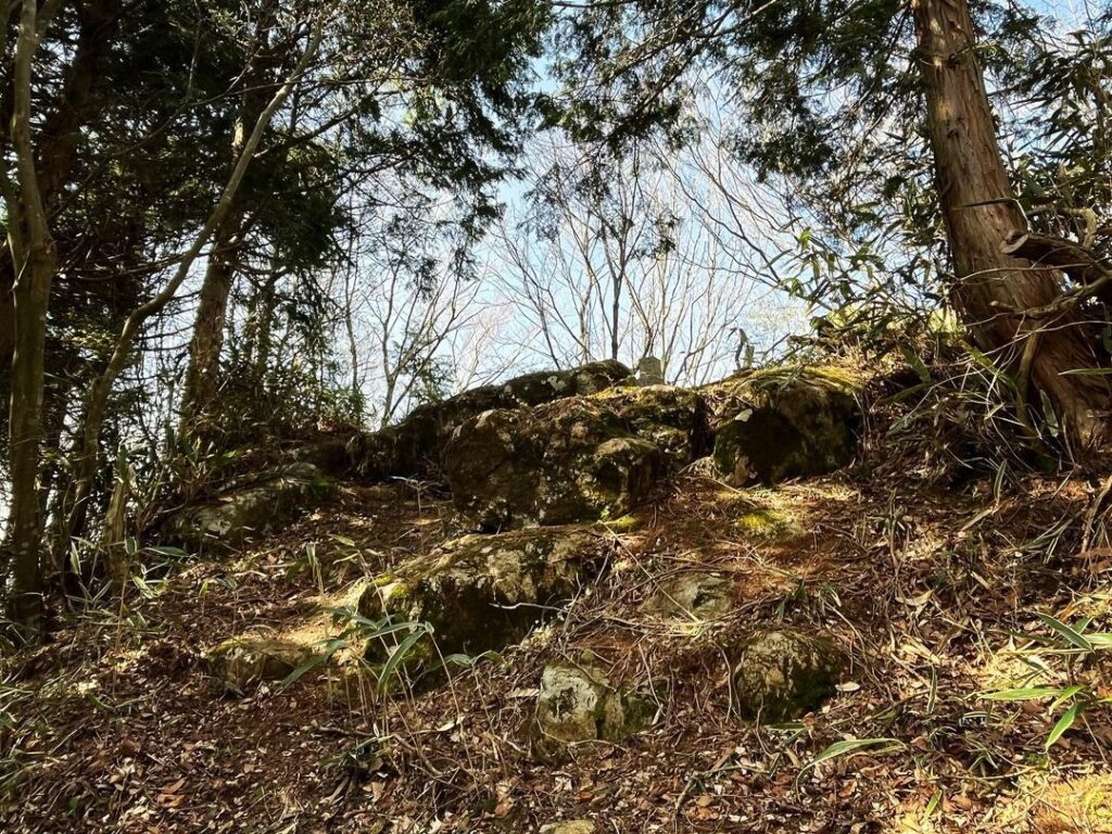
さらに進んで、次の坂を登りきると割石東山の山頂です。
登山口から約20分、あっという間に到着します。
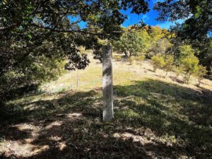
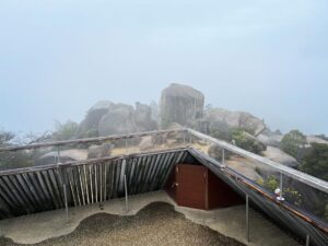
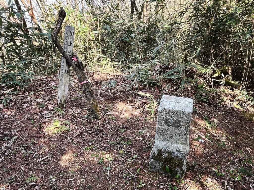
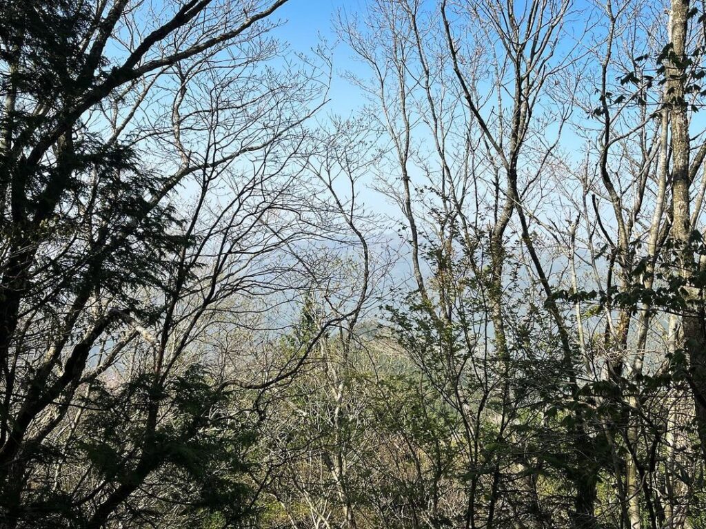
山頂には三角点があるのみで、眺望はあまりよくありません。
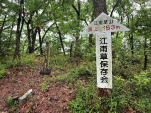
ここから、青滝山へ続く稜線の登山道がスタートします。
片道2時間半程度かかりますので、覚悟を持って進んでくださいね。
ということで今日はここまで。
忘れ物登山、無事に終了です。
(手前の塀の端からは石墨山方面へ)
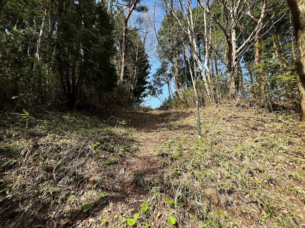
奥に進むと青滝山への尾根道が続きます
#割石東山
#わりいしひがしやま
#標高1073m
#防火帯
#三角点
#黒森峠
#愛媛の小山登り
#小山登り
#愛媛県
#東温市
#国道494号線
#忘れ物登山
#青滝山
Wariishi Higashiyama, which I had overlooked the other day when descending from Wariishi Pass to Kuromori Pass.
As a forgotten climb, we climbed it as soon as possible.
The trailhead is at the end of the fence right in front of the Kuromori Pass parking lot on Route 494.
We wandered around quite a bit before finding it.
Why are the trailheads from Kuromori Pass, including the one to Ishibokuyama, located at the end of the wall?
So we immediately started to climb up.
The difference in elevation is a little more than 100 meters, so the path is basically gentle, but I imagine there are two hills along the way.
After walking for a while, the path widens.
I wondered why such a wide road was made if cars could not pass through it.
I was wondering why the road is so wide when no cars can pass, but I guess this is what they call a firebreak zone.
The first slope is the recommended view point.
You can enjoy a beautiful panoramic view of Mt. Ishizumi and Mt. houshi.
Especially around the peak, there is a view spot.
Continue on and climb up the next slope to the summit of Wariishihigashiyama.
It takes about 20 minutes from the trailhead, and you will be there in no time.
There is only a triangular point on the summit and the view is not very good.
From here, a ridge trail leading to Mt. Aotaki.
It takes about two and a half hours one way, so please be prepared.
So that’s all for today.
The forgotten mountaineering trip is successfully over.
割石東山中腹からの眺望(動画)
割石東山の登山口(黒森峠)
割石東山のMAP