大友山 南山と北山のふたこぶ山 登山口→鞍部(愛媛県松山市)標高407m
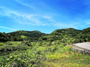
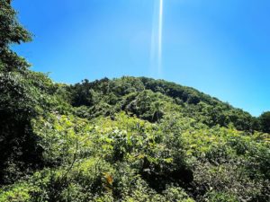
恵原町、九谷町のあたりから見えるふたこぶ山、大友山。
南山と北山があります。
八坂寺の奥から、大友山登山口に向かいます。
低山ですし、気軽に登れるでしょ♪
と思って登り始めたのですが・・・いやはや、これは大変。
登山道、なにそれ?
YAMAP(GPS)は必須です。
なければ、たぶん遭難します。
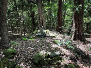
まずは草をかき分け、谷を登り、木々の間を抜け、鞍部まで直線的に登り進めます。
途中途中で、林道があるのですがこちらに進んではダメです。
とにかく、鞍部までひたすら直線です。
木が刺さって、ズボンが破れました(泣)
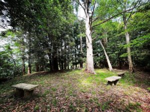
鞍部に出ても、残念ながら眺望はありません。
鞍部を少し南側に進み、西側の梅園まで降りると、西側の眺望が可能です。
たぶん、大友山の唯一のご褒美ですので、ぜひ、探してみてください。


#大友山
#おおどさん
#標高407m
#鞍部
#フタこぶ山
#八坂寺
#浄瑠璃寺
#浄瑠璃町
#愛媛の小山登り
#小山登り
#愛媛県
#松山市
#YAMAP
#登ってはダメ
Mt. Oodo, the Futakobu Mountain, which can be seen from around Ebara-cho and Kutani-cho.
There are two mountains: Mt.
Mt. Oodo trailhead from the back of Yasaka-ji Temple.
It is a low mountain, so it should be easy to climb.
I thought, “This is a low mountain, so it should be easy to climb,” but… well, this was a tough climb.
The trail, what is it?
Yamap (GPS) is a must.
Without it, you will probably get lost.
First, you have to weed through the grass, climb up the valley, go through the trees, and continue climbing in a straight line up to the saddle.
There is a forest road on the way, but do not go this way.
Anyway, it is a straight line up to the saddle.
A tree stuck me and tore my pants (I cried).
Unfortunately, there is no view when you reach the saddle.
If you continue a little south of the saddle and go down to the plum orchard on the west side, a view to the west is possible.
It is probably the only reward for Mt. Oodo, so please try to find it.
大友山の登山口
大友山のMAP(鞍部)
