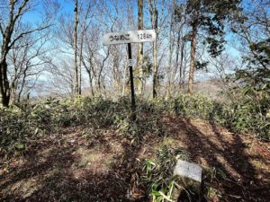
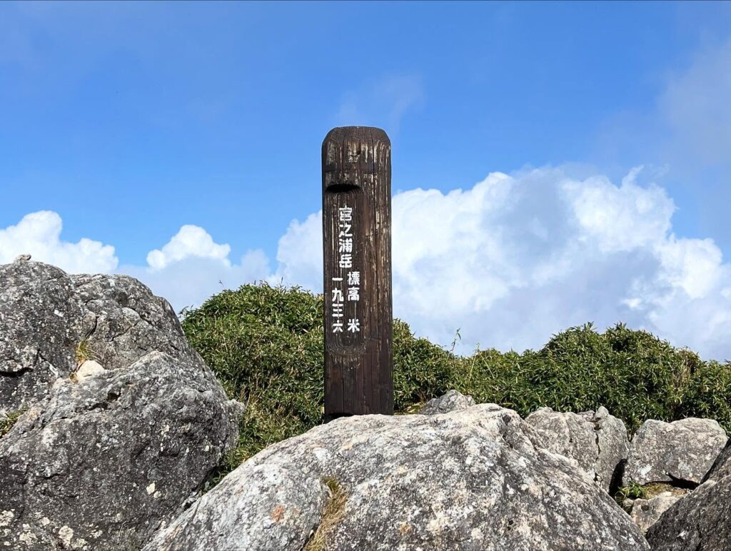
宮之浦岳 屋久島縦走 栗生岳→宮之浦岳(鹿児島県熊毛郡屋久島町)標高1936m
栗生岳から宮之浦岳へ向かいます。
距離は500m程度。
標高差は約70mですが、少しだけ下りてから登り返します。
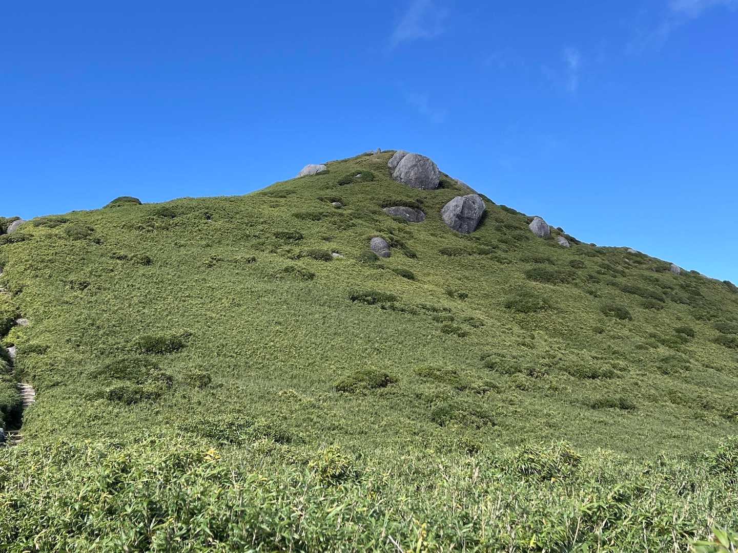
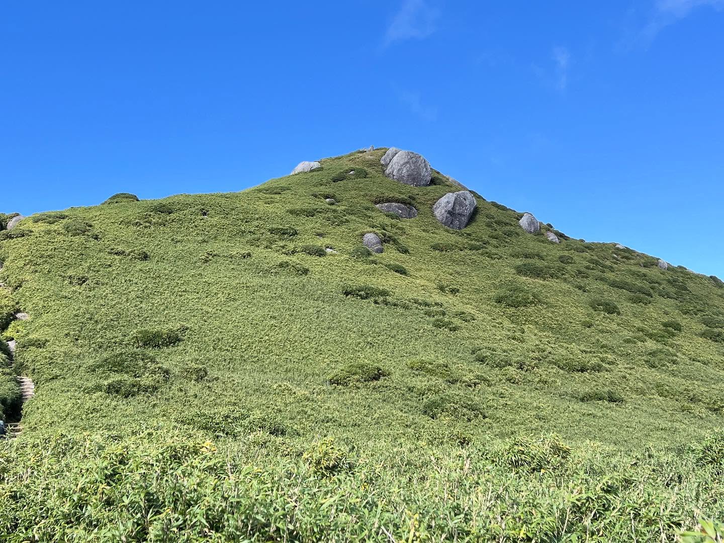
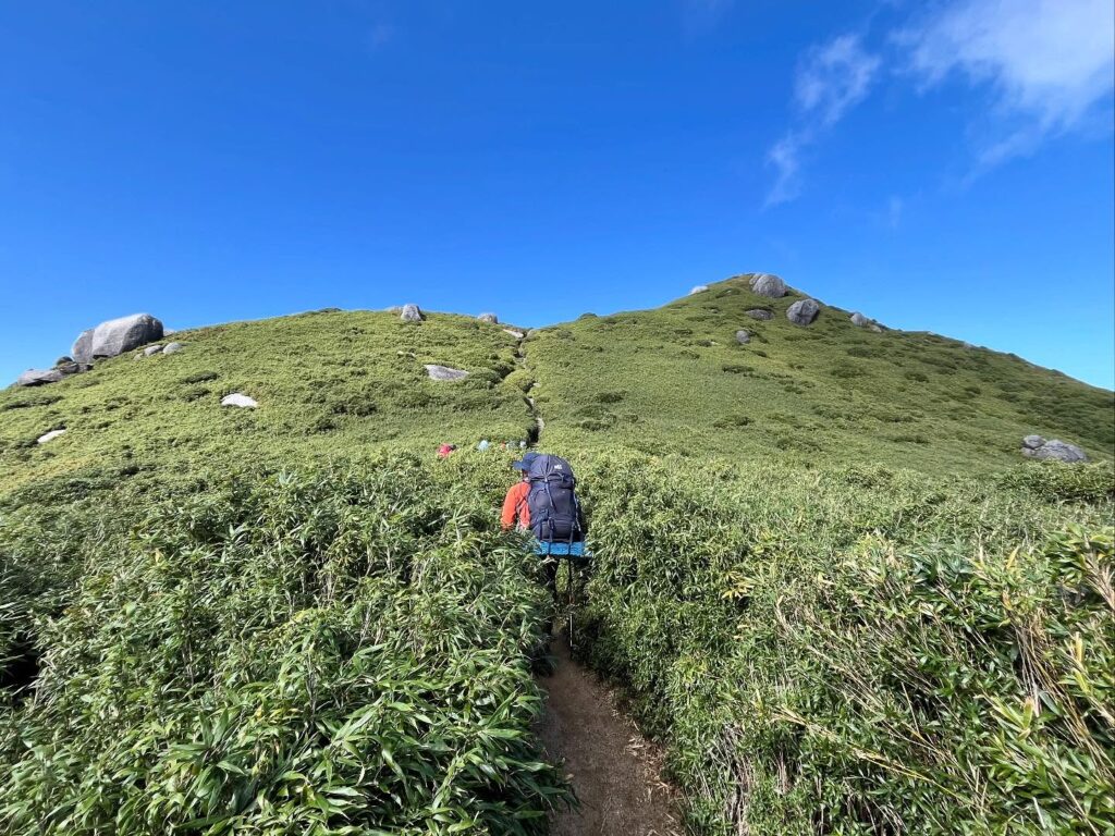
ヤクザサの中に巨岩がごろごろとしており、本当に不思議な景色です。
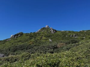
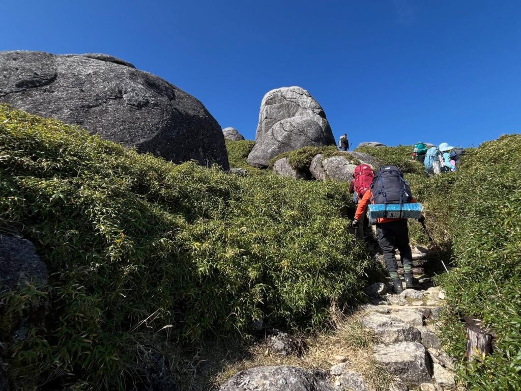
次々に巨岩を目指して登っていき、最後は笹道を歩き続けると宮之浦岳山頂に到着です。
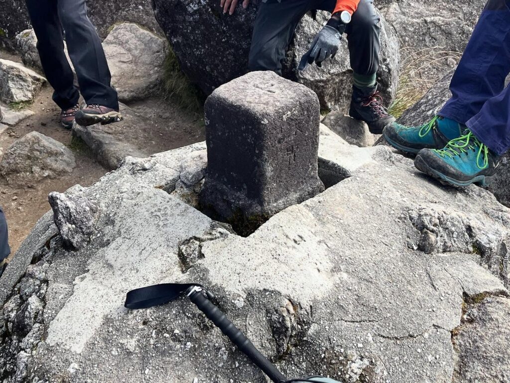
山頂標識に、一等三角点、そして周囲の壮大な風景が待っていました。
屋久島最高峰、そして九州最高峰の宮之浦岳。
宮之浦地区の方は、年に2回、ここまで岳参りされるのですから、本当に凄いですよね。
なんでも、里のものである砂浜の砂を山に届け、山のものであるシャクナゲを里に届けるそうです。
シャクナゲには精霊が宿るのだとか。
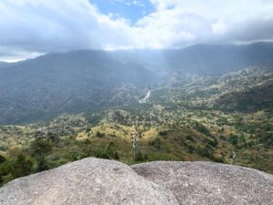
先ほどまでいた栗生岳、そして巨岩方面には雲が登ってきましたが、永田岳方面はきれいに眺めることができました。
ちなみに永田岳は、屋久島No.2、九州No.2の標高です。
同じく、笹の中に巨石がごろごろしていますが、山の頂きもゴツゴツと繋がっている感じで、とても迫力のある山です。
いつか登ってみたいですね。
あらためてですが、屋久島No.1~No.3、そして九州No.1~No.3の標高の山が、宮之浦岳、永田岳、栗生山の三岳です。
No.1の宮之浦岳から、南東にNo.3の栗生岳、北西にNo.2の永田岳を眺めるのは、本当に最高ですね。
この日は、さらに縦走を続けて新高塚小屋で宿泊です。
無事に小屋に泊まることができ、充実した縦走1日目となりました。
笹と巨岩と青空と
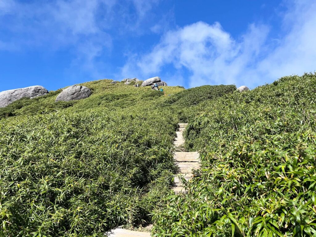

最後の登りです
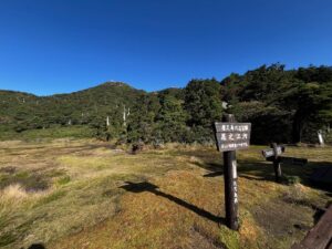
登ってきた側は雲が上がってきました
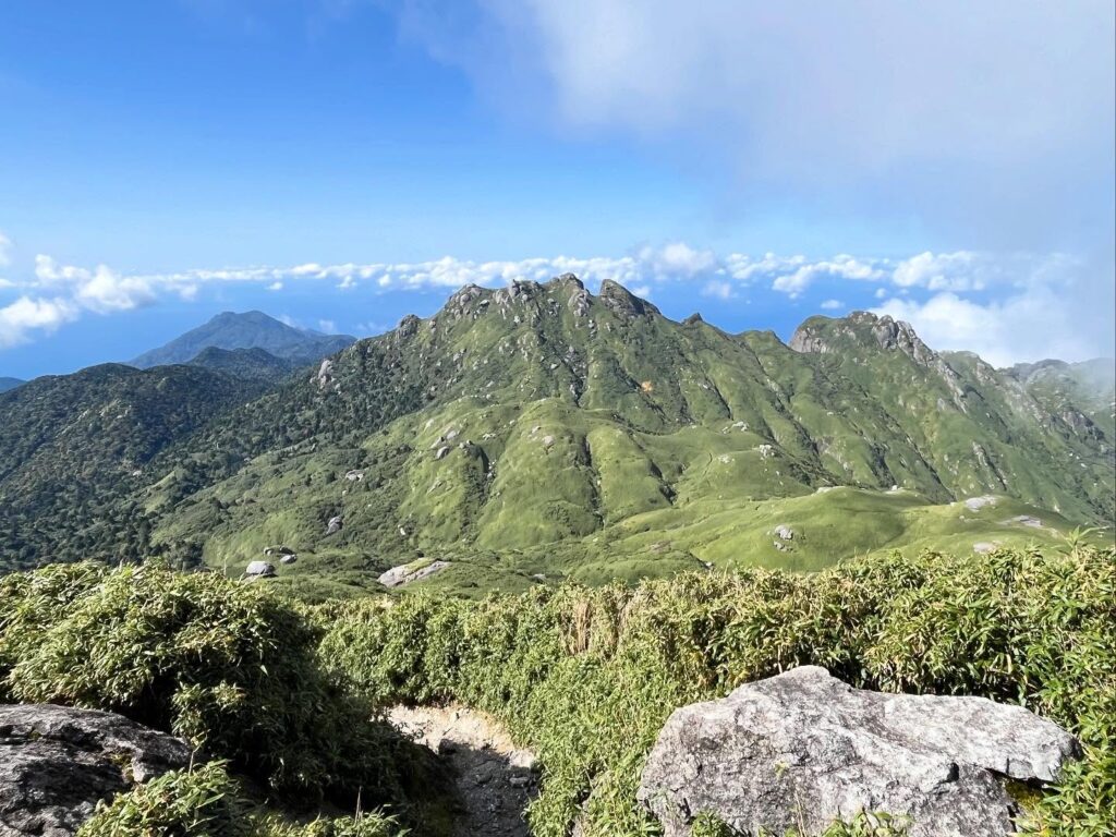
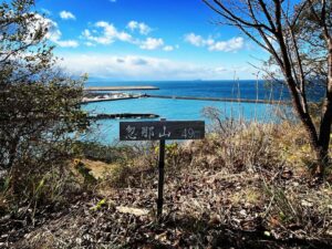
屋久島No.2、九州No.2標高の永田岳
かっこいいですね!
#宮之浦岳
#みやのうらだけ
#標高1936m
#ヤクザサ
#屋久島
#世界遺産
#日本百名山
#九州最高峰
#洋上アルプス
#一品宝寿大権現
#愛媛の小山登り
#小山登り
#鹿児島県
#熊毛郡
#屋久島町
#永田岳
#ながただけ
#標高1886m
#新高塚小屋
#岳参り
Heading from Mt. Kurio to Mt. Miyanoura.
The distance is about 500m.
The elevation gain is roughly 70m, but it involves a slight descent followed by a climb back up.
Giant boulders lie scattered among the Yakusasa bamboo, creating a truly bizarre landscape.
Climb towards one giant rock after another, and finally, continue walking along the bamboo path to reach the summit of Mt. Miyanoura.
At the summit marker, a first-order triangulation point awaited, along with the magnificent surrounding scenery.
Mt. Miyanoura, the highest peak on Yakushima and the highest peak in Kyushu.
It’s truly amazing that people from the Miyanoura area make the pilgrimage up here twice a year.
Apparently, they bring sand from the village’s beaches to the mountain and bring rhododendrons from the mountain back to the village.
They say spirits dwell within the rhododendrons.
Clouds had rolled in over Mount Kurio, where we’d been earlier, and the giant rock area, but the view towards Mount Nagata was clear.
Incidentally, Mount Nagata is the second highest peak on Yakushima and the second highest in Kyushu.
Similarly, boulders lie scattered among the bamboo grass, and the mountain’s summit feels ruggedly connected, making it a very imposing peak.
I’d love to climb it someday.
To reiterate, the three highest peaks on Yakushima (No. 1 to No. 3) and Kyushu (No. 1 to No. 3) are Mt. Miyanoura, Mt. Nagata, and Mt. Kurio.
Looking southeast from No. 1 Mt. Miyanoura to No. 3 Mt. Kurio, and northwest to No. 2 Mt. Nagata, is truly the best.
On this day, we continued our traverse and stayed overnight at the Shintakatsuka Hut.
We made it safely to the hut, making for a fulfilling first day of our traverse.
宮之浦岳山頂から眺める永田岳(動画)
宮之浦岳の登山口(淀川登山口)
栗生岳のMAP
宮之浦岳のMAP
活動データ(YAMAP)
活動データはYAMAPからご覧ください↓