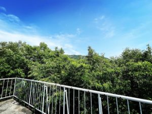
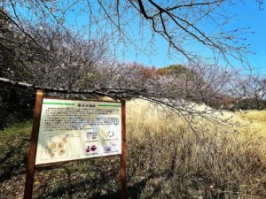
城の山(奥之城山)湧ヶ淵公園展望台から登れます(愛媛県松山市)標高419m
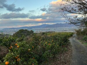
さて、湧ヶ淵公園展望台を右手に遊歩道を進んで、城の山を目指します。
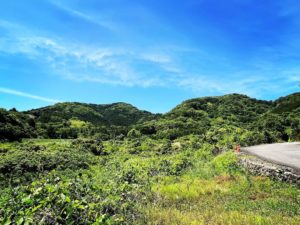
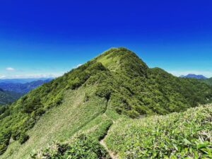
基本的に、標高差約150mを登り続ける登山道です。
傾斜がキツめなのと、落ち葉で滑りやすいので要注意です。
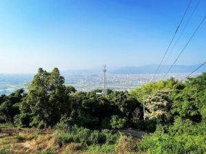
まずは鉄塔を目指します。
基本的には尾根を登っていけば良いのですが、落ち葉が積もって、道がわかりにくい箇所も。
350m付近にはベンチを設定してくれており、腰をかけて小休止することができます。
ありがたいですね。
山頂へ0.2kmの看板が見えたらラストスパート!
傾斜が一段とキツくなります。
石垣跡のようなものを超えたら、最後の登りです。
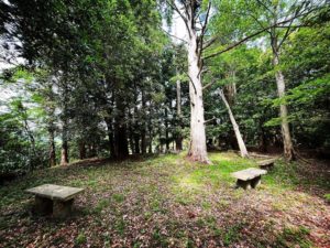
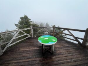
山頂には、広々とした広場が。
奥之城神社の祠がありご挨拶です。
三角点もあります。
木々が茂っており、景色が見えないのが残念ですが、登りきった感があります。
湧ヶ淵公園展望台に行かれた際には、ぜひ、チャレンジしてみてください!
落ち葉が多いので、下りは注意です!


#城の山
#しろのやま
#標高419m
#奥道後玉川県立自然公園
#奥之城
#得能通友
#奥之城山
#おくのしろやま
#奥之城神社
#湧ヶ淵公園
#湧ヶ淵公園展望台
#愛媛の小山登り
#小山登り
#愛媛県
#松山市
#城阯
Now, take the boardwalk to the right of the observatory and continue on to Castle Mountain.
Basically, this is a trail that continues uphill with an elevation gain of about 150 meters.
Be careful because the incline is hard and slippery due to fallen leaves.
First, we will aim for a steel tower.
Basically, you can just climb up the ridge, but there are some places where fallen leaves pile up and it is difficult to find your way.
They have set up a bench near 350m, where you can sit and take a short rest.
I appreciate it.
When you see the sign for 0.2 km to the summit, it’s time for the last spurt!
The slope becomes even harder.
Once you pass what looks like the remains of a stone wall, it is time for the final ascent.
At the summit, there is a spacious open space.
There is a shrine of Okunoshiro Shrine to greet you.
There is also a triangular point.
Unfortunately, the trees are so thick that we cannot see the view, but we feel that we have made it to the top.
If you visit the Yugafuchi Park Observatory, please give it a try!
Be careful on the way down as there are many fallen leaves!
城の山の登山口(湧ヶ淵公園展望台)
城の山(奥之城山)のMAP