見晴山 昔は草原で見晴らしが良かったらしい一等三角点の山(愛媛県西宇和郡伊方町)標高395.2m
佐田岬半島スクーター登山の旅。
3つ目の山は見晴山。
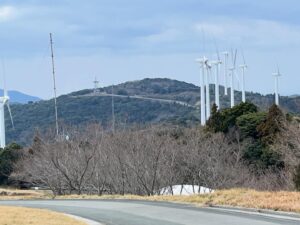
おおきな風車がぶんぶん回っている佐田岬裏メロディーラインなる稜線の道を通って向かいます。
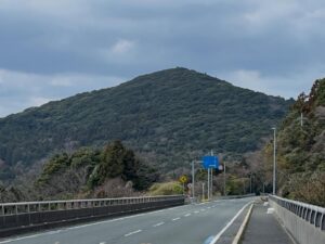
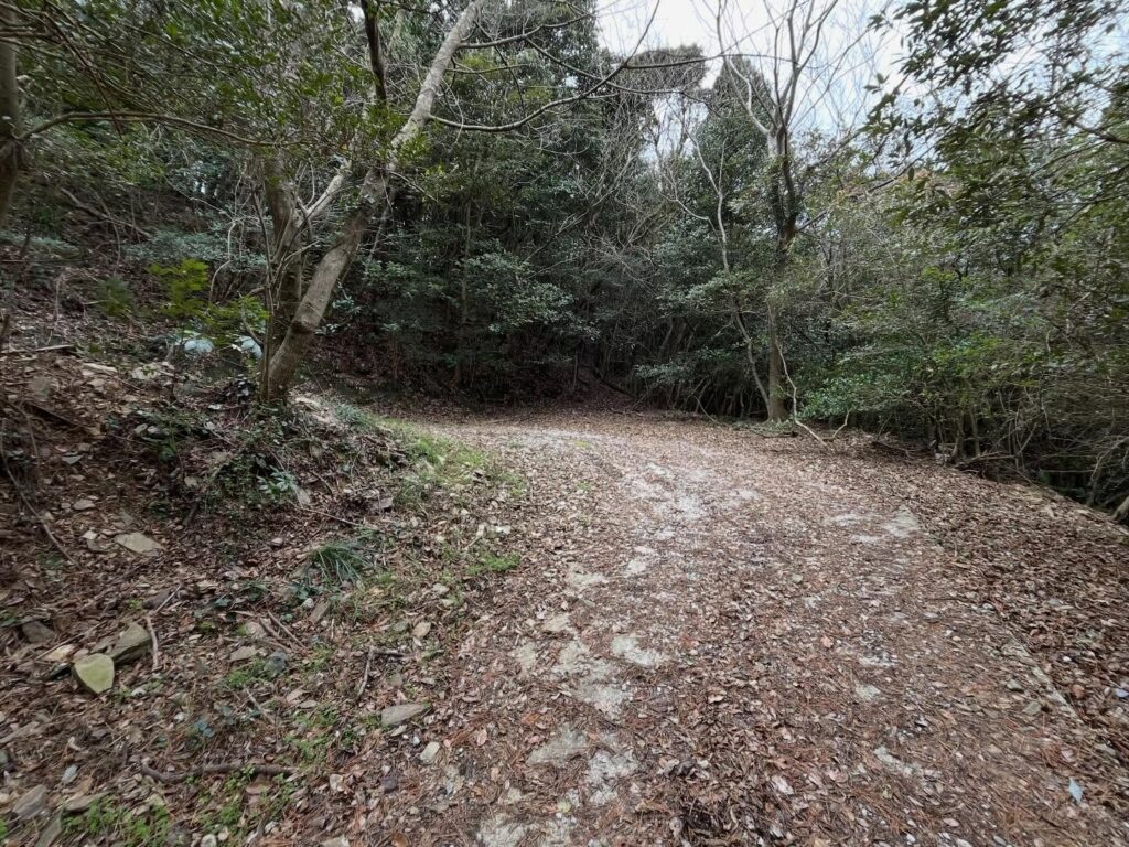
登山口の道は分かりにくいので、記事のMAPをご参照ください。
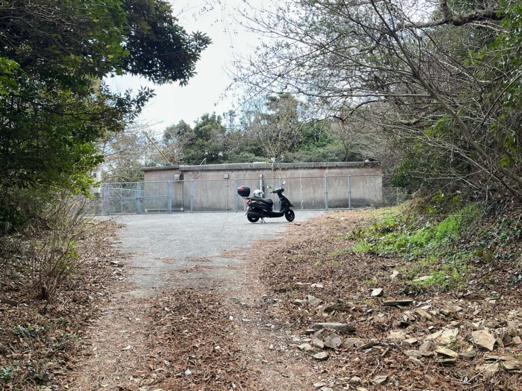
登山口は、わかりやすいのがコンクリの道です。
上っていくと折れて建造物で行き止まるのですが、おの折れた場所が昇りやすいです。
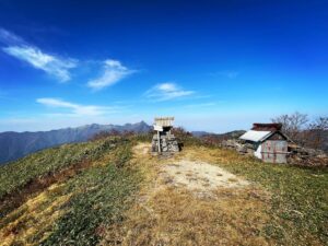
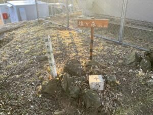
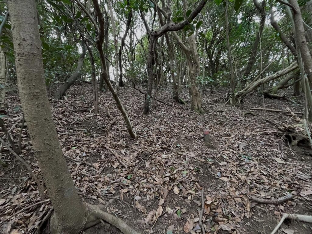
山の中に入って、10mほどよじ登ると山頂の広場らしきところへ。
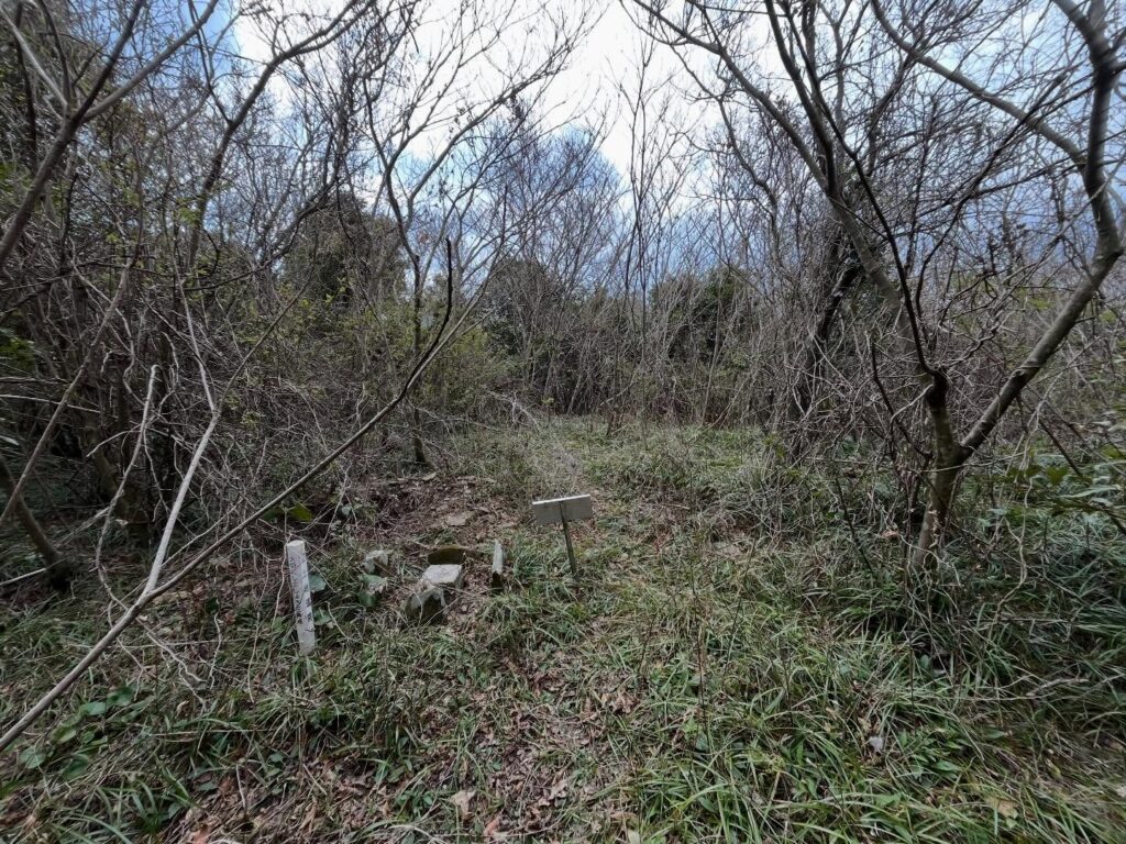
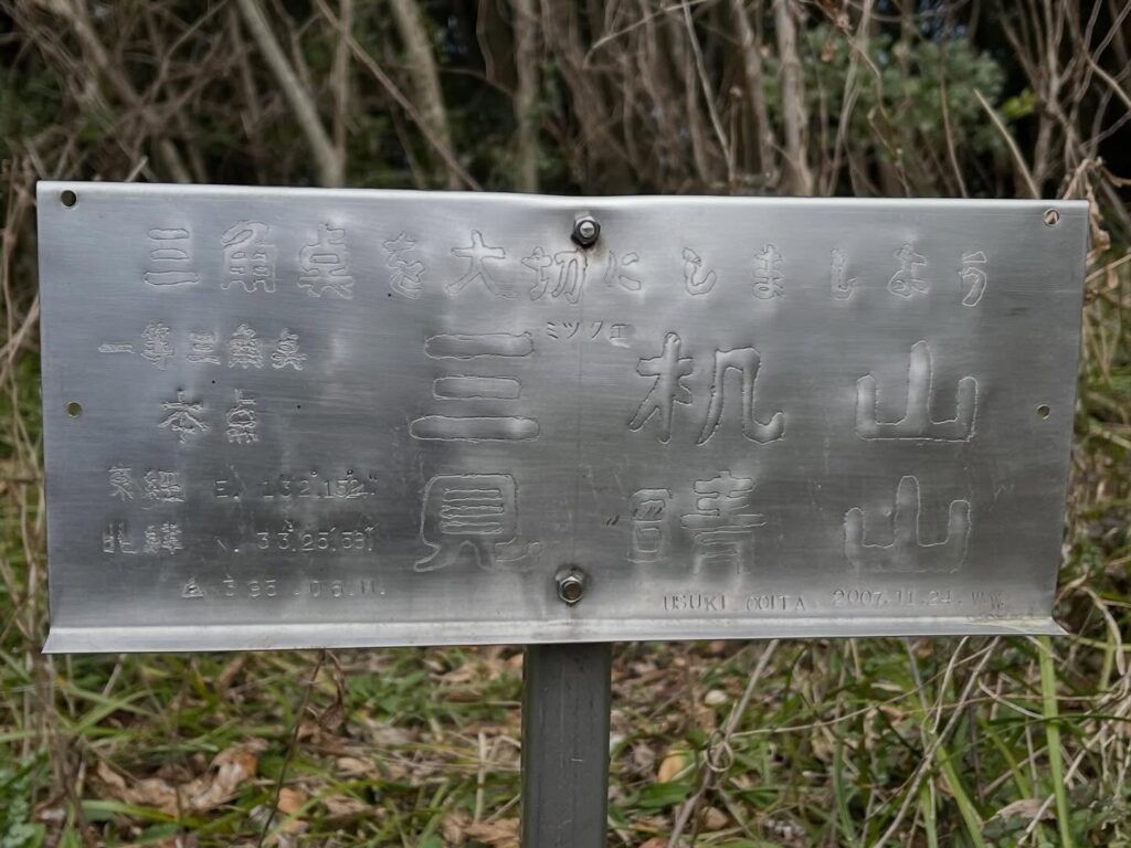
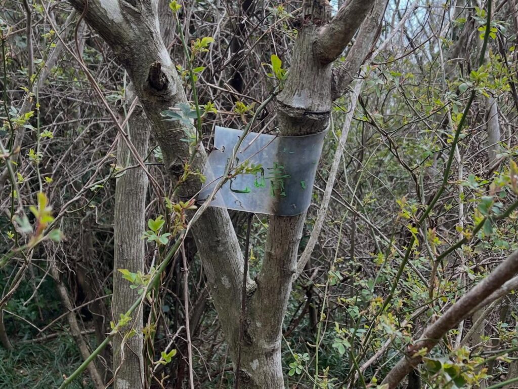
三角点と銀色プレートの標識があります。
見晴山の三角点 三机山。
なんと、一等三角点でした!
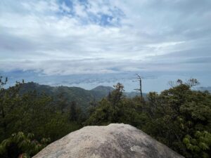
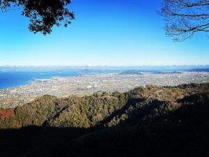
見晴山あたりは、もともと高茂牧場で草原だったとのこと。
昔の投稿写真を見ていると、確かに草原です。
さぞ、見晴らしも良かったのだと思われます。
現在は自然林に囲まれて、まったく見晴らしはありません。
もったいないなと思いつつ、時代の流れを感じますね。
続いて、せと風の丘パークを経由して、権現山に向かいます!


昔は草原だったのだとか
今は自然林です

佐田岬半島で唯一の一等三角点です
#見晴山
#みはらしやま
#標高395.2m
#三机山
#みつくえやま
#高茂牧場
#佐田岬半島
#スクーター登山
#愛媛の小山登り
#小山登り
#愛媛県
#西宇和郡
#伊方町
#志津
#一等三角点
A Scooter Hiking Trip on the Sada Misaki Peninsula.
The third mountain is Mt. Miharashi.
We head there via the ridge road known as the “Sada Misaki Ura Melody Line,” where large wind turbines spin noisily.
The trailhead is hard to find, so please refer to the map in this article.
The trailhead is easy to spot—it’s a concrete path.
As you go up, the path bends and ends at a structure, but the bend itself is an easy spot to start climbing.
Once you’re inside the mountain, scramble up about 10 meters to reach what looks like a summit clearing.
There’s a triangulation point and a sign with a silver plate.
Miharashi-yama Triangulation Point: Mt. Sanuki.
Surprisingly, it was a first-class triangulation point!
Apparently, the area around Miharashi-yama used to be grassland belonging to the Takamo Ranch.
Looking at old photos, it certainly was a grassland.
I imagine the view must have been spectacular back then.
Now, it’s surrounded by natural forest, and there’s absolutely no view.
While I think it’s a shame, I can really feel the passage of time.
Next, I’ll head to Gongen-yama via Seto Kaze no Oka Park!