権現山 宇和島の天空の鳥居 山高神社(愛媛県宇和島市)
鹿のコルから権現山登山口まで車で移動。
歩くと35分かかるのですが、やはり車は早いですね。
少しですがやっと座れました。
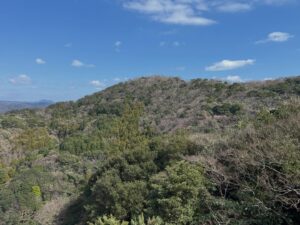
さて、鬼ヶ城山の本日の締めは権現山です。
きれいなとんがり帽子で、下から眺めても、上から眺めても、横から眺めても良いですね!
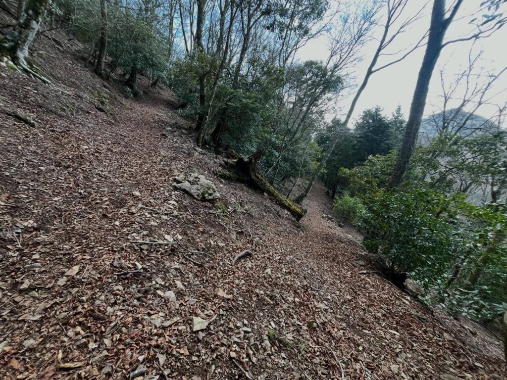
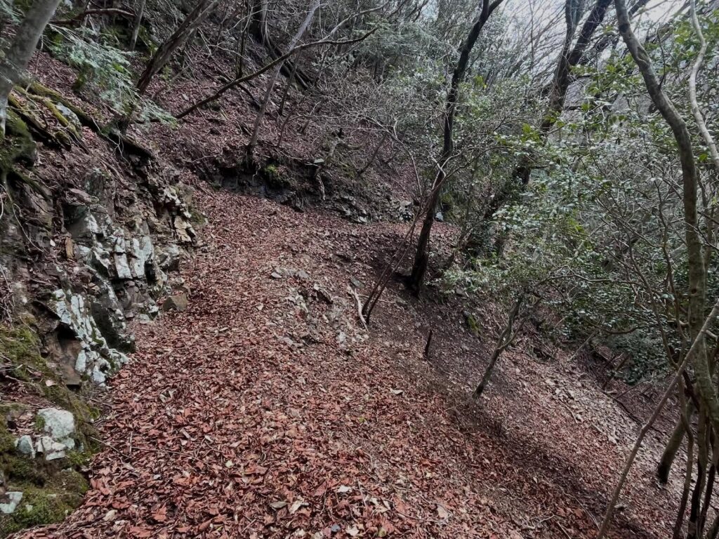
こちらもまずは下りからスタート。
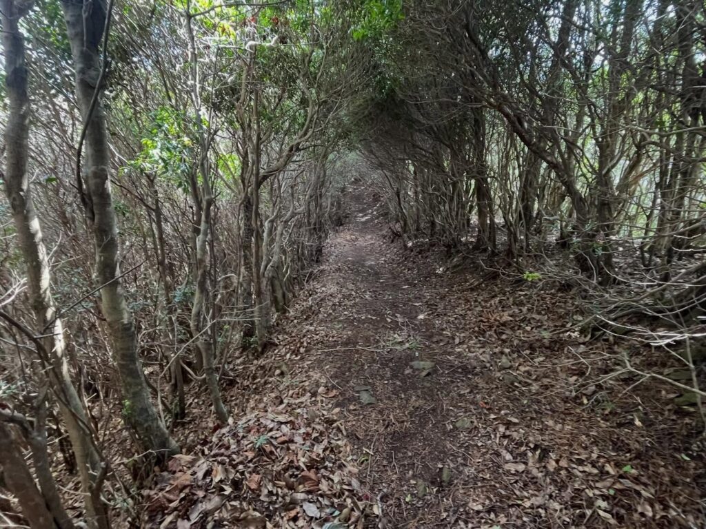
教科書のようにジグザグに下りていきます。
ずっと権現山を眺めながらですので楽しいですね。
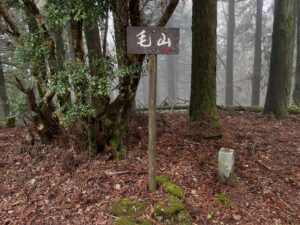
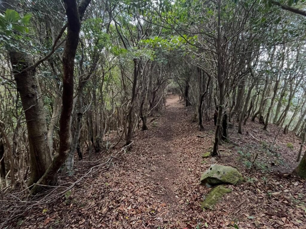
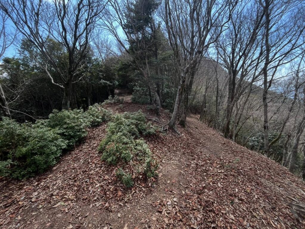
下ると権現山までの尾根道に入ります。
山が繋がっている感じが良いです。
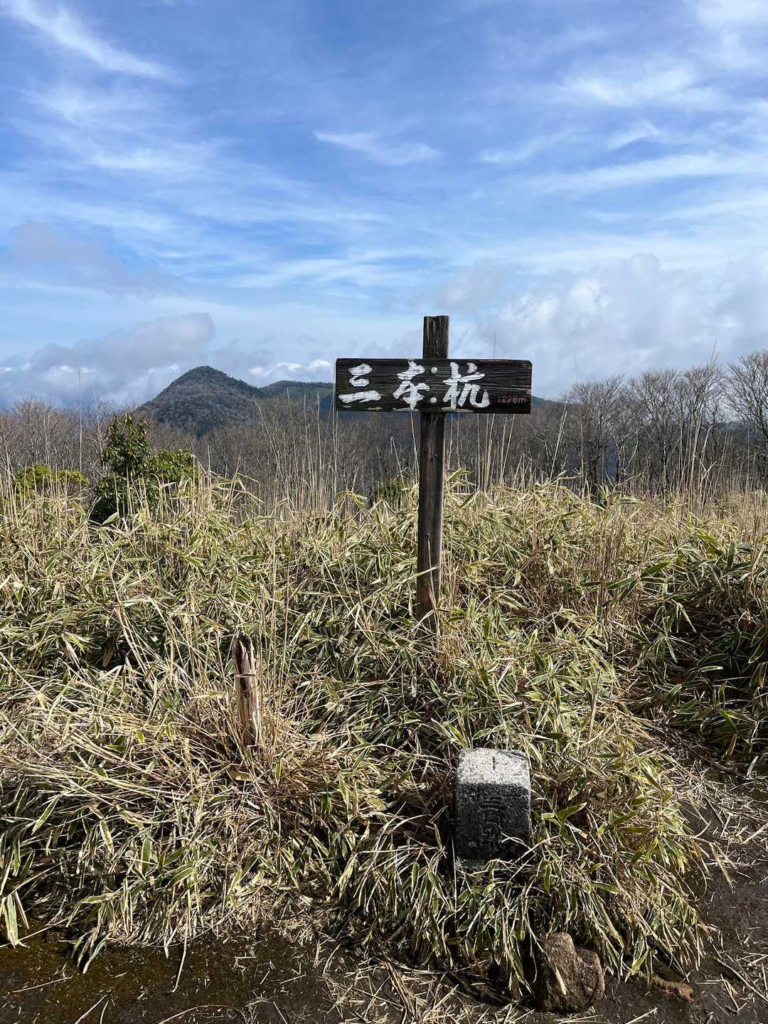
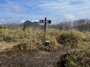
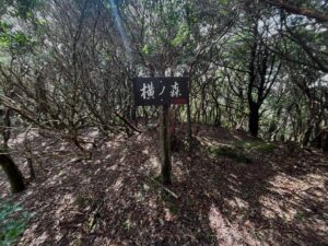
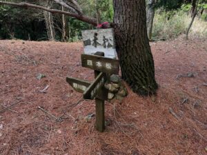
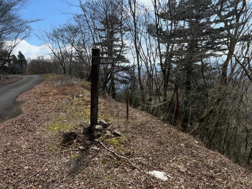
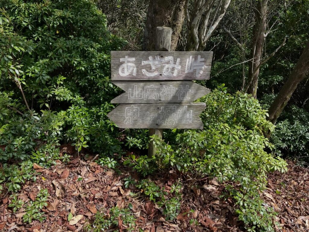
あざみ峠の標識で分岐します。
どちらでも行けるようですが、左側の上に進む道が正解です。
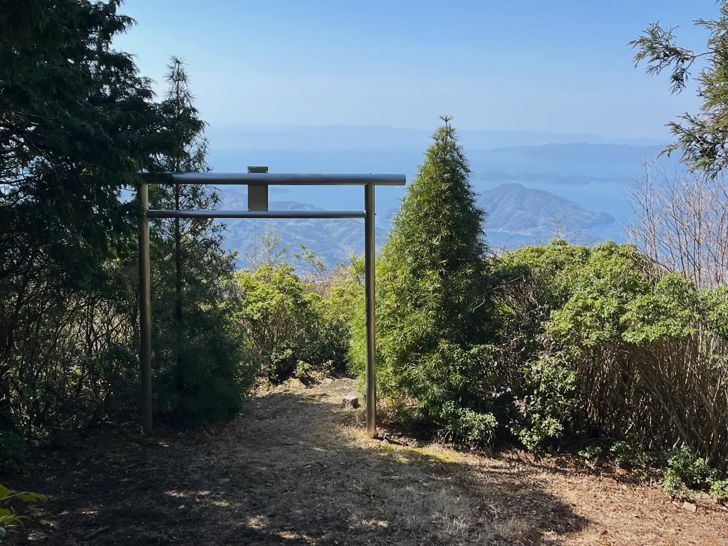
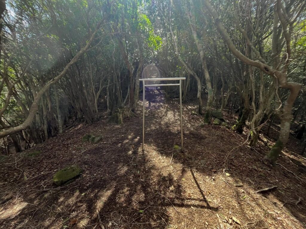
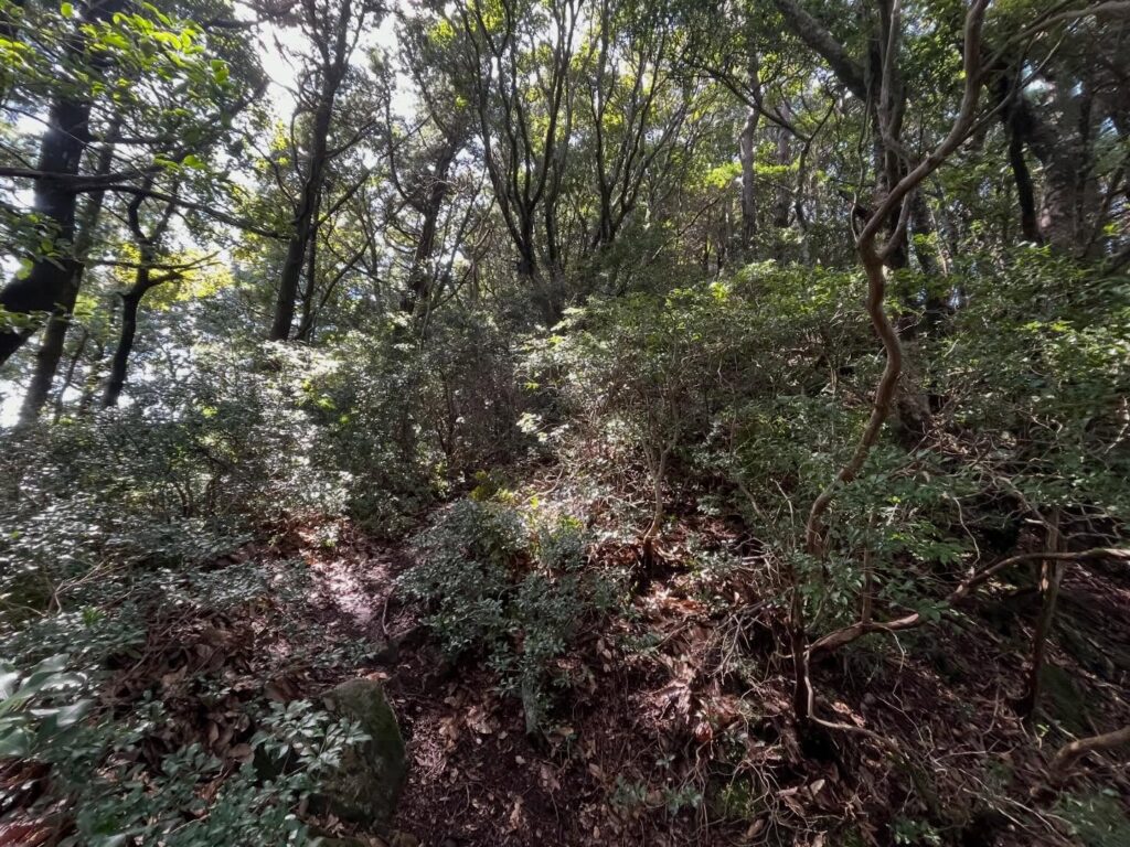
木々のトンネルの道を進んでいくと、小さな鳥居が現れます。
ここからは山高神社の神の領域。
小さな鳥居をくぐって結界内に入っていきます。
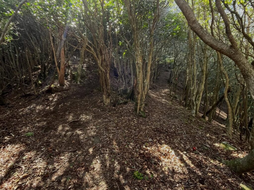
ここで道が分岐していますが、どちらに進んでも大丈夫です。
左側の道が急ですがストレート、右側の道が少し緩やかです。
山頂まで登るとわかるのですが、こちらは山高神社の裏参道になるのですよね。
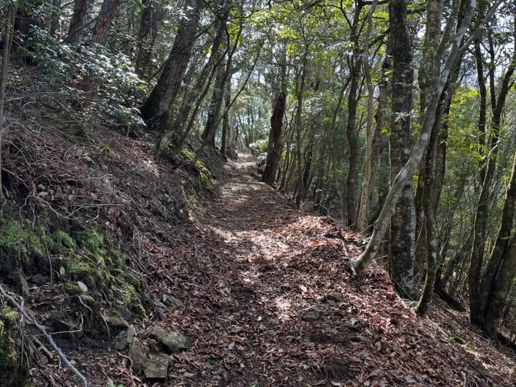
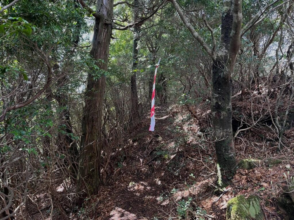
赤白のテープが、あちこちに下げられており、道に迷うことはありません。
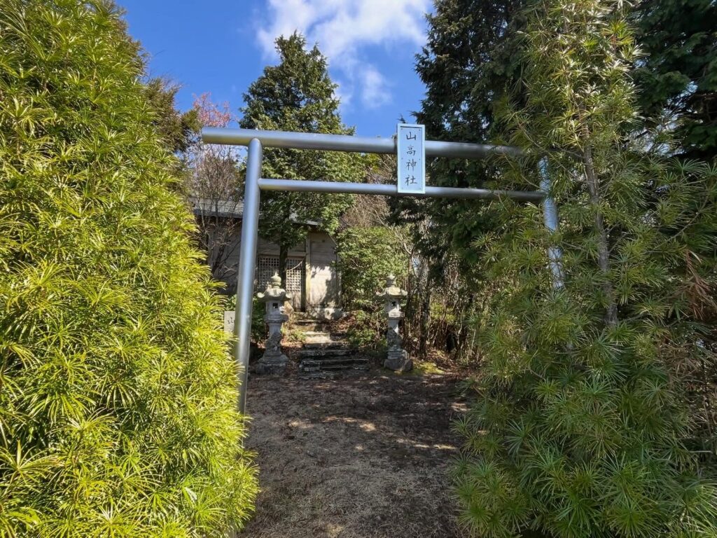
山高神社の裏側に出ますので、表側に回り込みます。
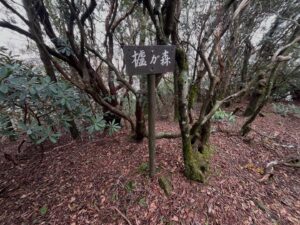
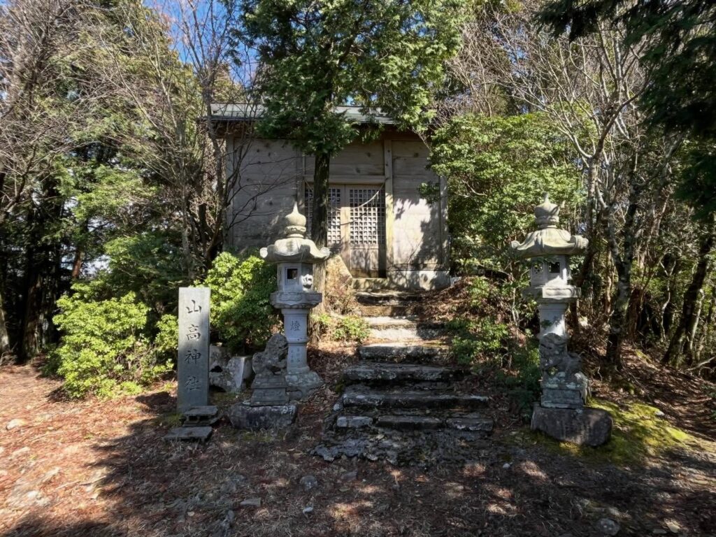
森の権現、山高神社にご挨拶。
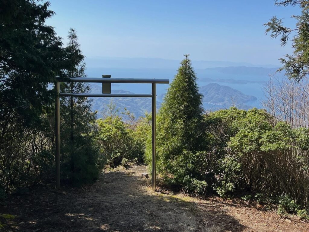
山高神社の前には立派な鳥居があります。
こちら側が表参道なのですね。
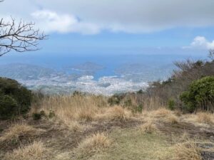
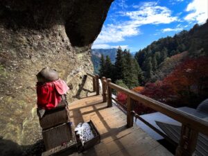
素晴らしき天空の鳥居です。
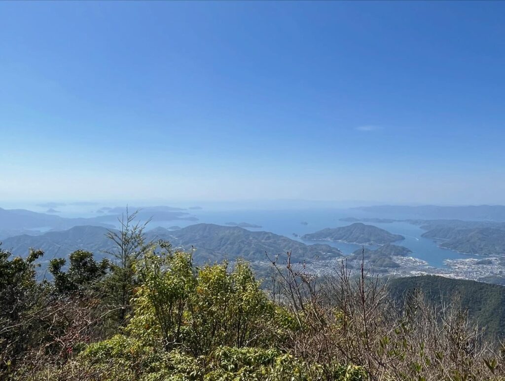
鳥居の先に、青い空と宇和海を眺めることができます。
本日の鬼ヶ城山系を締める、良いお山でした。
道脇に車が数台停められます
鳥居をくぐって結界内に入ります
どちらに進んでも合流するので大丈夫です
登りは右へ、下りは左側がお勧め
道がわかりやすいです
狛犬がかわいいです
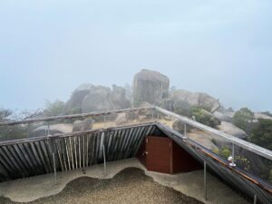
このあたりが眺望スポット
社のあたりから鳥居を眺めると海がよく見えます
#権現山
#ごんげんやま
#標高952m
#山高神社
#森の権現
#権現様
#天空の鳥居
#あざみ峠
#愛媛の小山上り
#小山上り
#愛媛県
#宇和島市
#鬼ヶ城連山
#鬼ヶ城山系
#南予アルプス
We drove from Shika-no-Koru to the trailhead for Mt. Gongen.
It takes 35 minutes on foot, but driving is definitely faster.
I finally got to sit down for a bit.
Well, Mt. Gongen is the final stop of the day in the Onigajo Mountain Range.
With its beautiful pointed peak, it looks great whether you view it from below, from above, or from the side!
We start with a descent here as well.
We head down in a zigzag pattern, just like in a textbook.
It’s fun because we can keep gazing at Mt. Gongen the whole time.
Once we’re down, we enter the ridge trail leading to Mt. Gongen.
I love the feeling of the mountains all connected.
We come to a fork at the Azami Pass sign.
It looks like either path is fine, but the correct one is the trail going up to the left.
As we walk through the tunnel of trees, a small torii gate appears.
From here on, you’re in the sacred precincts of Yamataka Shrine.
Pass through the small torii gate to enter the sacred area.
The path forks here, but either way is fine.
The left path is steep but straight, while the right path is a bit gentler.
Once you reach the summit, you’ll realize this is the back approach to Yamataka Shrine.
Red-and-white tape is hung here and there, so you won’t get lost.
You’ll emerge at the back of Yamataka Shrine, so head around to the front.
I offer my greetings to the Forest Deity, Yamataka Shrine.
There is a magnificent torii gate in front of Yamataka Shrine.
So this is the main approach, isn’t it?
It’s a magnificent torii gate against the sky.
Beyond the torii, you can gaze out at the blue sky and the Uwa Sea.
It was a wonderful mountain to cap off today’s hike through the Onigajo Mountain Range.
権現山登山口
権現山・山高神社のMAP
活動データ(YAMAP)
活動データはYAMAPからご覧ください↓