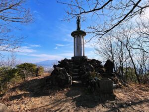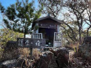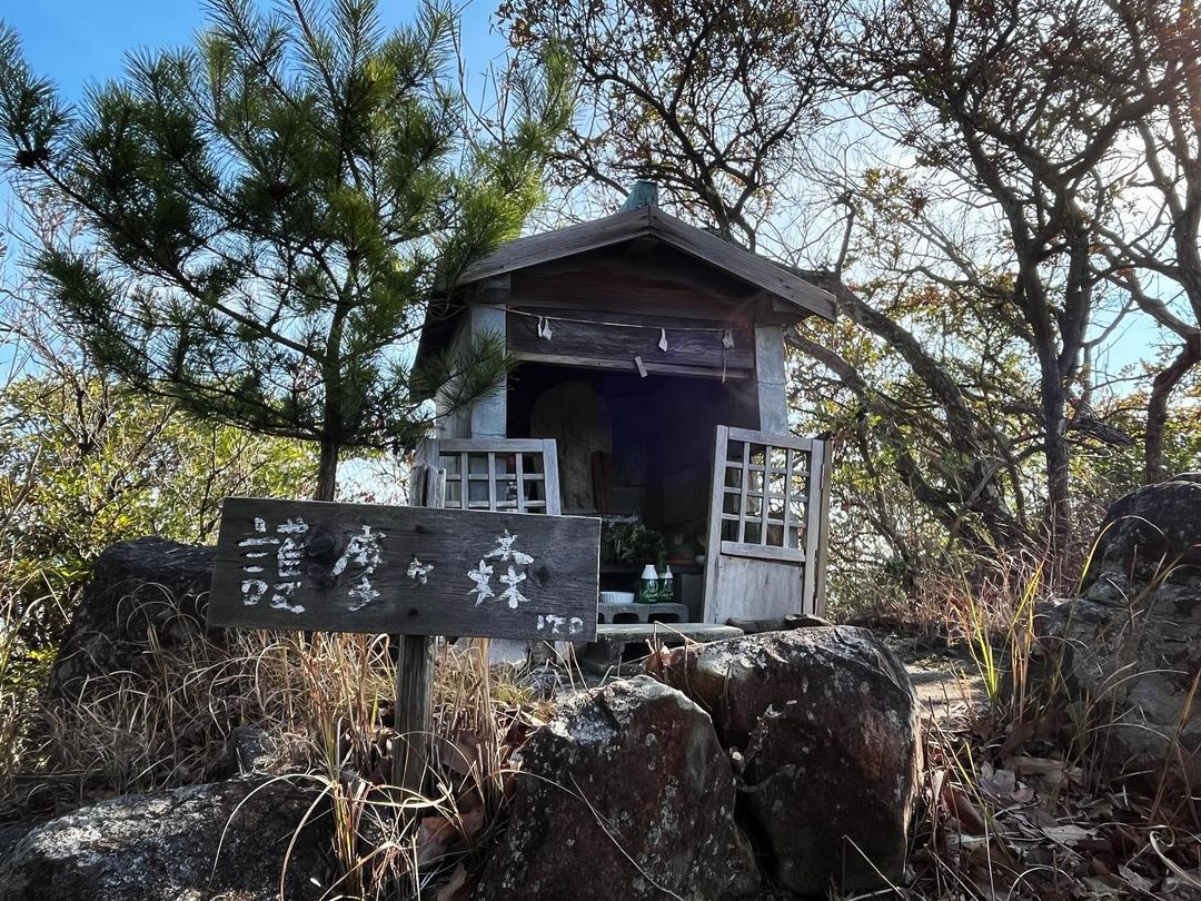
護摩ヶ森 経ヶ森の奥にある祠のあるピーク(愛媛県松山市)標高170m
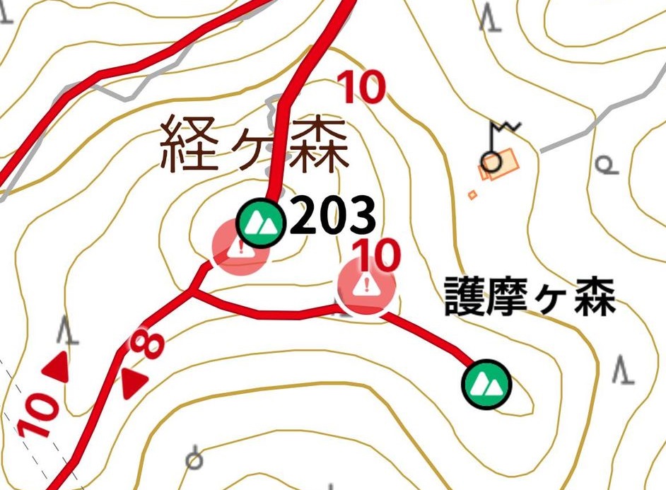
経ヶ森を岩子山側へ下りていきます。
少し下りると、護摩ヶ森と岩子山の分岐点へ。
護摩ヶ森側へ進むと、あっという間に到着です。
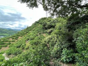
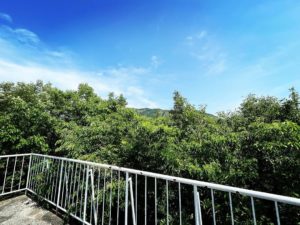
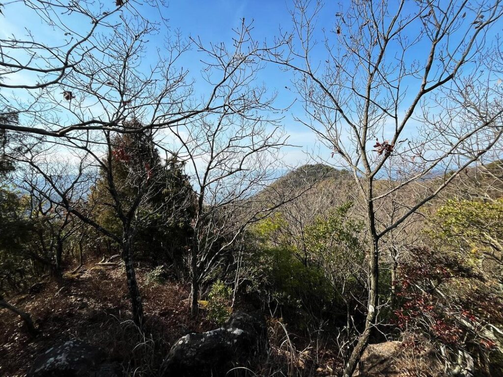
眺望はあまりよくないですが、岩子山がよく見えます。
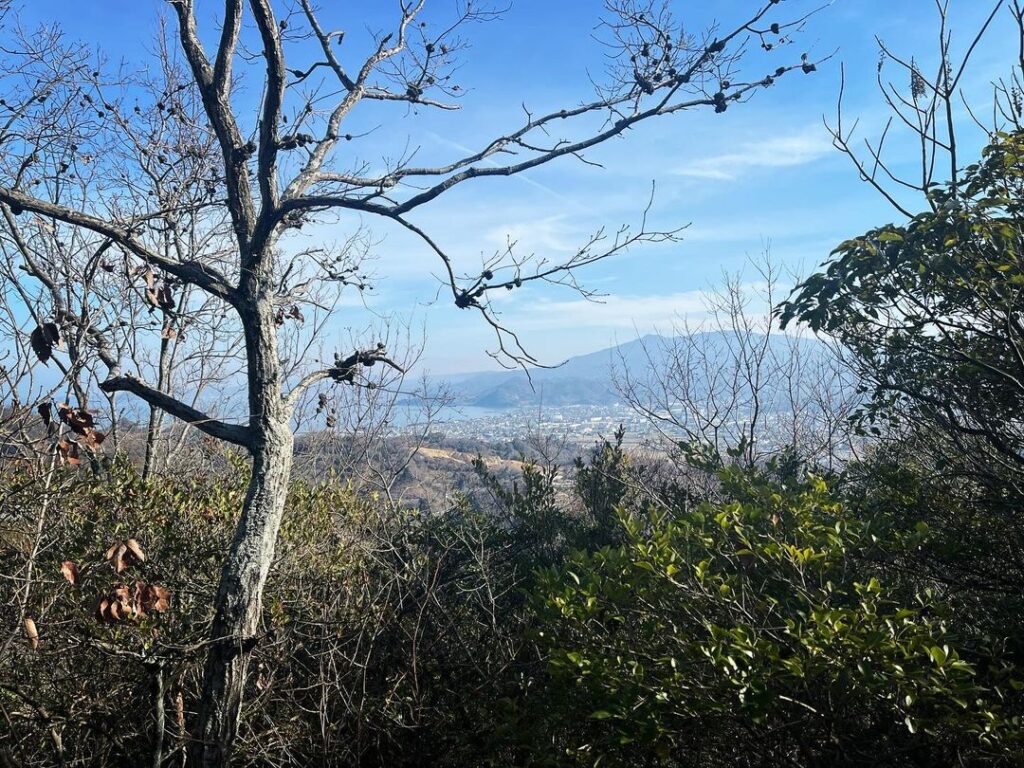
反対側は鹿島方面。
実は今回は忘れ物登山。
「森」ということで、山ではないという認識でした。
経ヶ森は山という認識だったのですけどね。
全ルートを歩いたつもりでしたが、護摩ヶ森を忘れていました(笑)
ということで写真は少なめでした。
分岐点や尾根道を撮影したはずがデータが消えてしまいました(汗)

#護摩ヶ森
#ごまがもり
#標高170m
#愛媛の小山登り
#小山登り
#愛媛県
#松山市
#経ヶ森
#岩子山
Descend Kyogamori to the Iwako-yama side of the mountain.
After a short descent, you will reach the junction of Gomagamori and Iwakoyama.
Proceeding to the Gomagamori side, you will arrive at the junction in no time.
The view is not so good, but Iwako-yama can be seen clearly.
On the other side is the direction of Kashima.
In fact, this time we climbed a forgotten mountain.
I was aware that it was a “forest” and not a mountain.
I was aware that Kyogamori was a mountain, though.
I thought I had walked the entire route, but I had forgotten Gomagamori.
So there were not many photos.
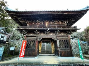
経ヶ森・護摩ヶ森の登山口(太山寺ルート)
経ヶ森のMAP
護摩ヶ森のMAP