中津明神山 車で行ける天空の鳥居(愛媛県久万高原町・高知県仁淀川町)1540.56m
中津明神山の天空の鳥居に行きたい!
と思い立って、100ccスクーターで行ってきました。
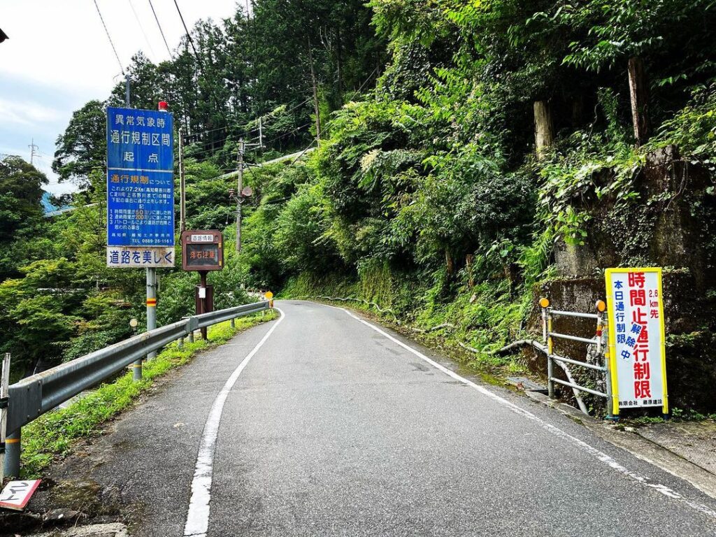
中津渓谷の道をそのまま登り続けると、なんと舗装道で山頂まで行けるのです!
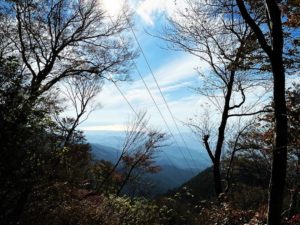
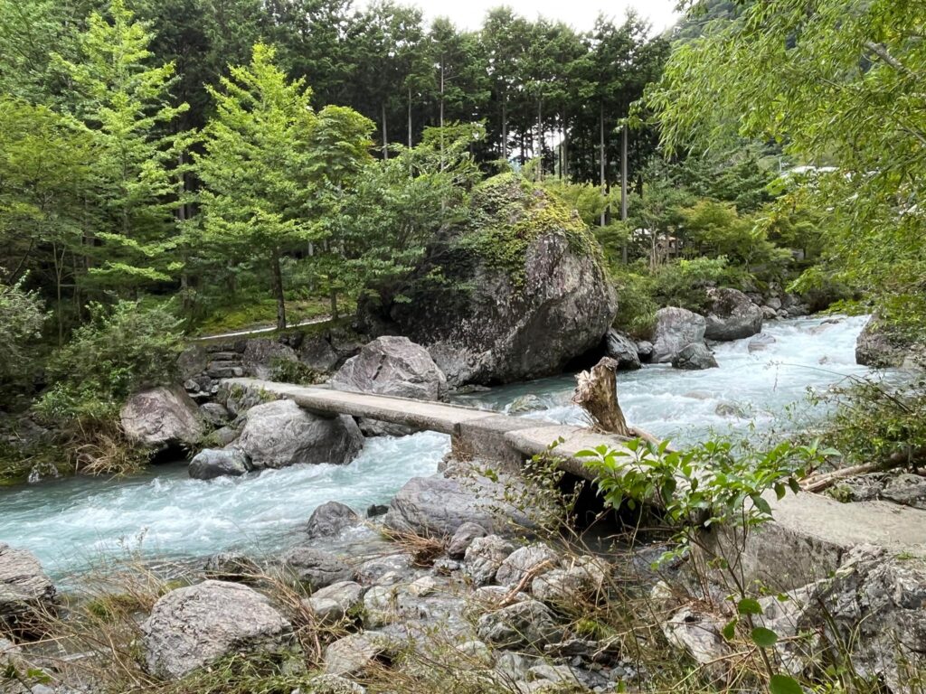
渓谷を眺めながら、登り続けます。
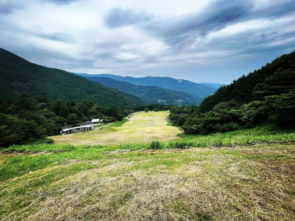
とはいうものの、google mapは吾川スカイパークまで。
気持ちの良いゲレンデです。
ここから6.5kmを登っていきます。
舗装道には違いないのですが、離合できない狭さ、ガードレールなし、陥没している、落石多い、と、なかなかのハードコース。
スクーターで良かったです。
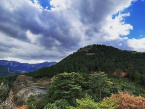
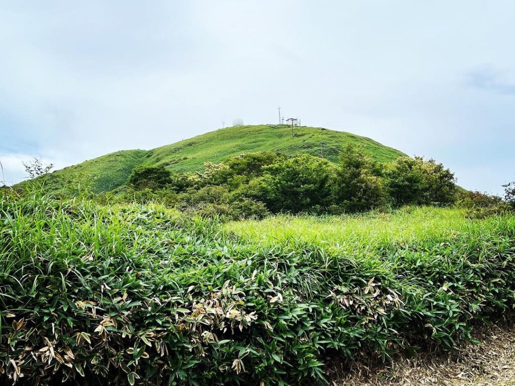
標高1300mあたりから、笹原が広がってきます。
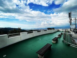
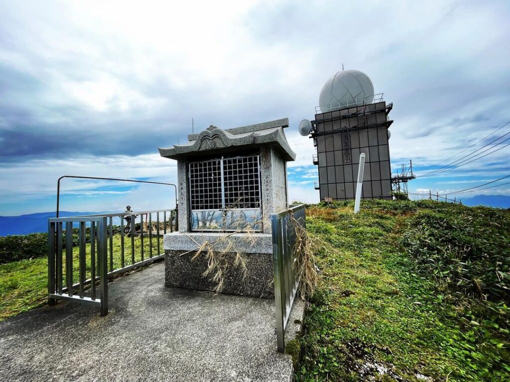
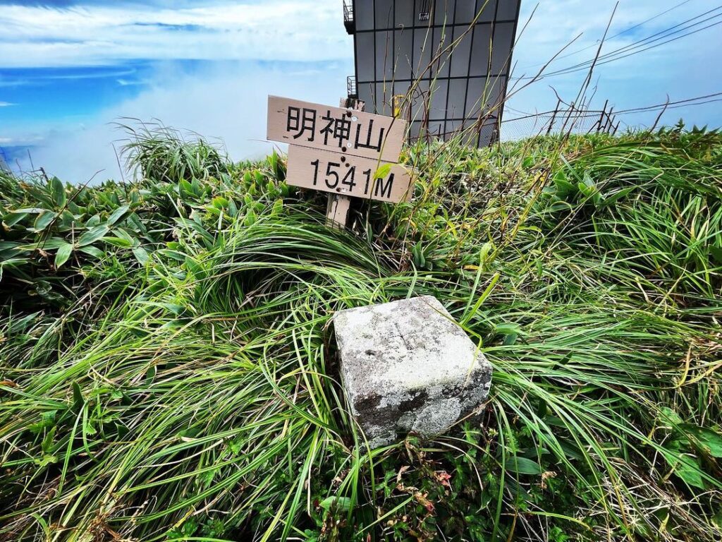
巨大なボール形状の明神山レーダー雨量観測所も見えてきます。
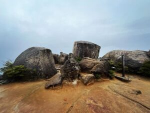
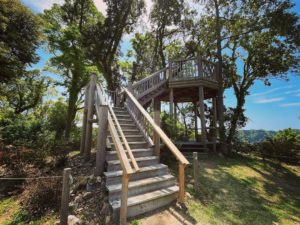
いよいよ山頂に。
本当に山頂までスクーターで登れました。
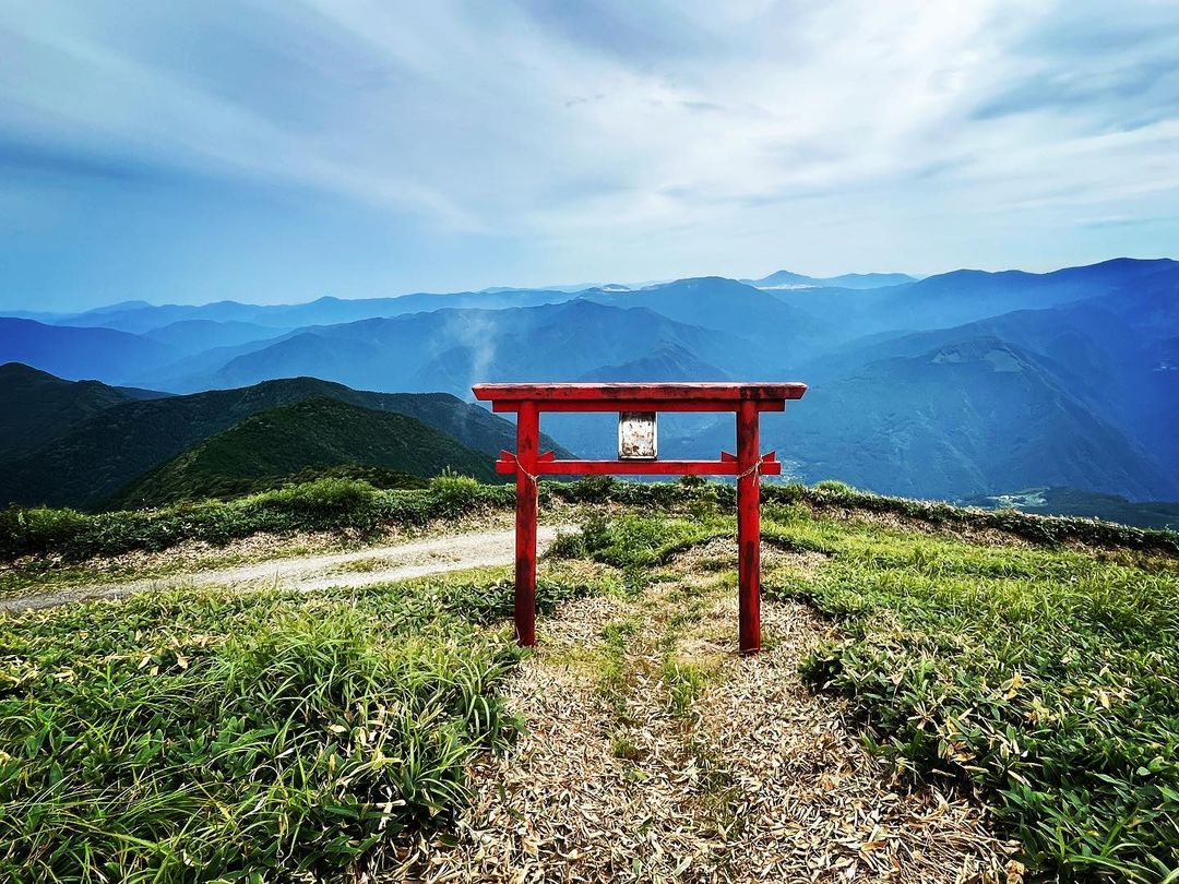
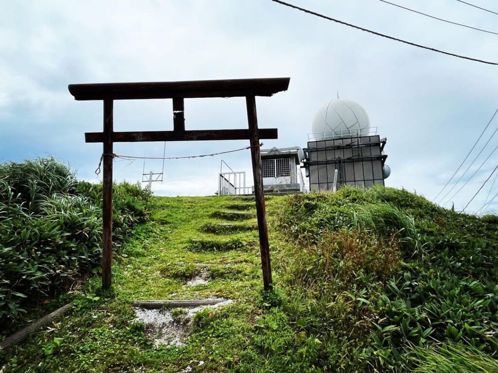
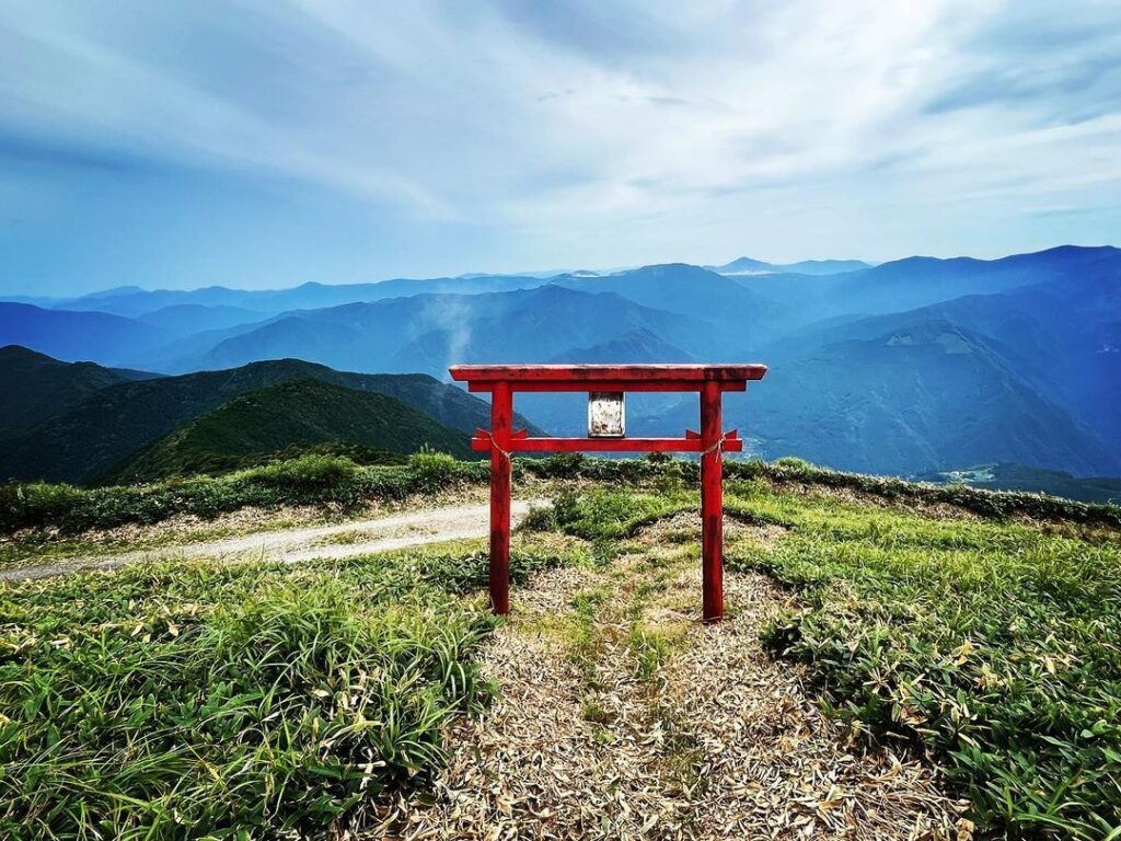
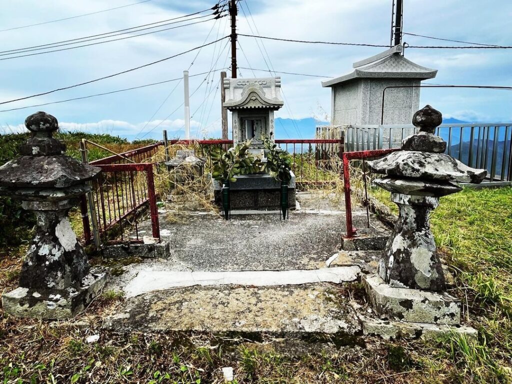
天空の鳥居は、2ヵ所あります!
一つは大山祇命・石鎚毘古の祠に続くもの。
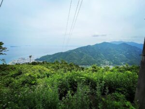
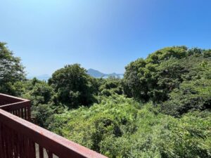
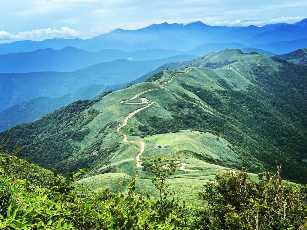
猿越山に続く天空の林道が眺められます。
もう一つは奈勝大明神の祠に続くもの。
四国カルスト方面の眺望が素晴らしいです。
この後、天空の林道を歩いて、猿越山を目指し始めたのですが、雨で撤退。
次回のお楽しみです♪
ナビはここまで
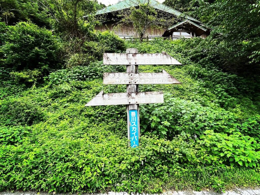
雨のためトレッキングは途中で諦めました
#中津明神山
#なかつみょうじんさん
#標高1541m
#天空の鳥居
#天空の林道
#中津渓谷県立自然公園
#中津山
#明神山
#猿越山
#さるごえやま
#愛媛県
#久万高原町
#高知県
#仁淀川町
#吾川スカイパーク
#大山祇命
#石鎚毘古
#奈勝大明神
#明神山レーダー雨量観測所
I want to go to the celestial torii (torii in the sky) at Nakatsu Myojinsan!
I decided to go there on a 100cc scooter.
If you continue climbing along the Nakatsu Valley road, you can get to the top of the mountain on a paved road!
We continued up the mountain, admiring the valley.
However, google map shows only to Agawa Sky Park.
It is a pleasant slope.
From here, we will climb 6.5 km.
It must be a paved road, but it is quite a hard course: too narrow to separate, no guardrails, sinking, and many falling rocks.
I was glad I was on a scooter.
At around 1,300m elevation, the bamboo grass field begins to spread.
The Myojinsan radar rainfall observatory in the shape of a giant ball also comes into view.
Finally, we reached the summit.
We were really able to climb to the summit by scooter.
There are two torii gates in the sky!
One leads to the shrine of Oyamazuminushi and Ishizuchi Biko.
It offers a view of the sky forest path leading to Sarugoe Mountain.
The other leads to the shrine of Nakatsu-Daimyojin.
The view toward the Shikoku Karst is wonderful.
After this, we walked along the forest road in the sky and started to head for Sarukoshi Mountain, but had to retreat due to rain.
We will enjoy it next time♪
中津明神山 天空の鳥居(動画)
