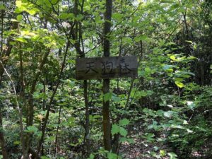
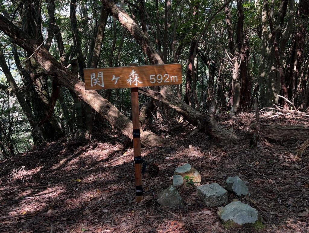
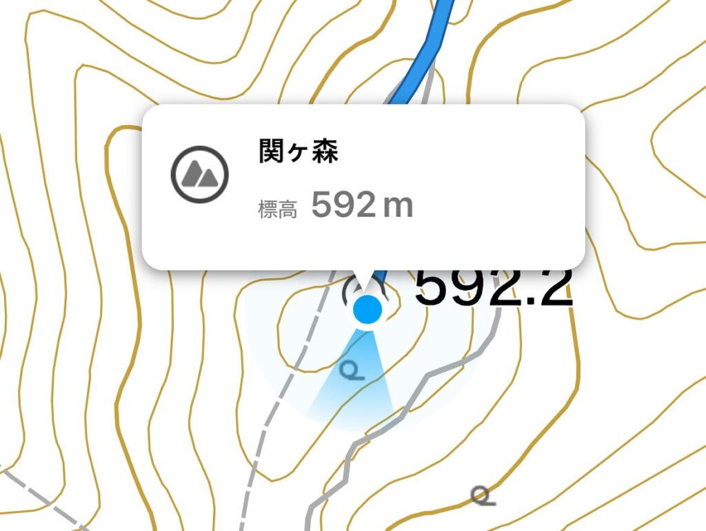
関ヶ森 榎ヶ峠から林道を縦走(愛媛県松山市)標高592.2m
平井から食場に抜ける道の途中に見える観音山。
登山ルートをいろいろ探していたのですが、かなり複雑で難しそう。
近くにあるのになかなか登れない山でした。
先日、杉立山の手前の榎ヶ峠から縦走できるよ!と教えてもらい、早速、行ってきました。
途中に関ヶ森もありますので、今日は2ピーク踏めますね♪
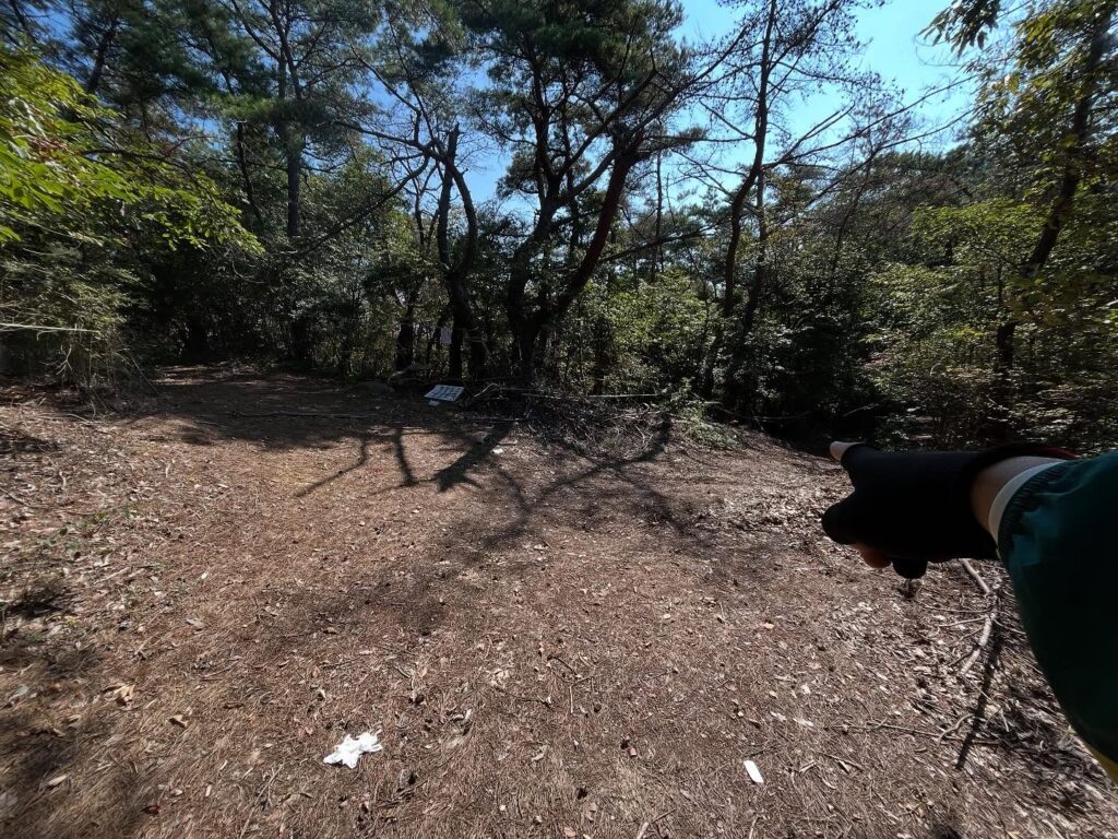
まずは、大師寺の看板のある道から榎ヶ峠に向けて登っていきます。
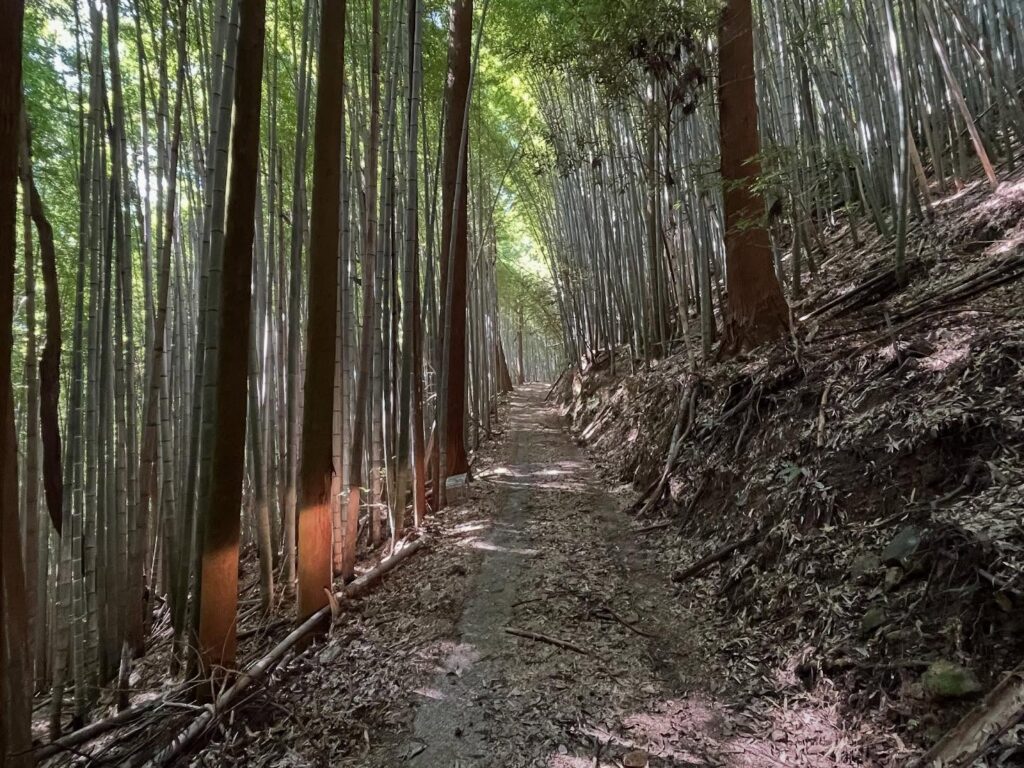
前回も思ったのですが、狭いわ、滑るわ、落ち葉も枝も落石も多いわで、本当に大変な道です。
パワーのあるスクーターか、四駆の軽トラかジムニー以外はお薦めしません。
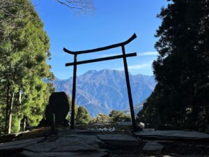
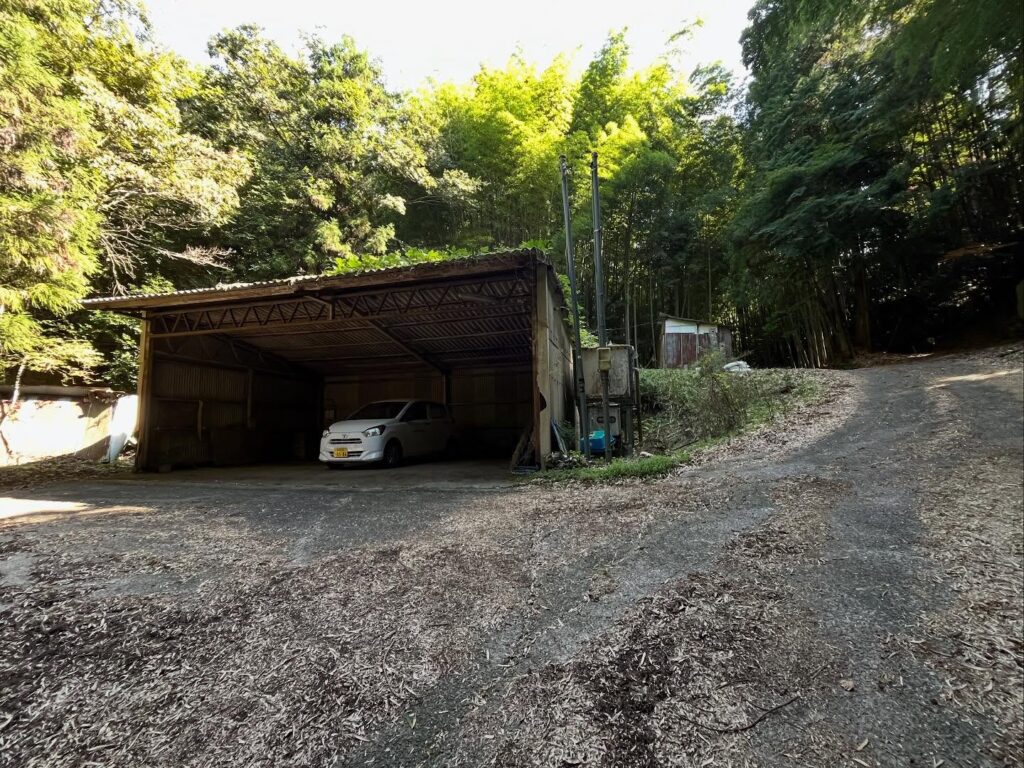
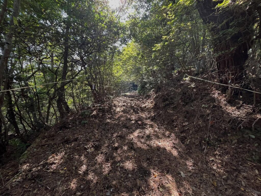
榎ヶ峠についたら庚申祠にご挨拶をして、林道を歩き始めます。
あまり来る人がいないはずなのですが、立派な林道があり、タイヤの跡もあるのですよね。
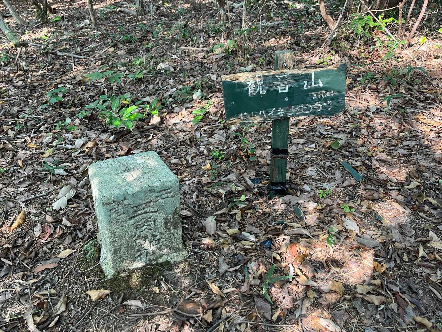
榎ヶ峠は標高514m、関ヶ森は標高592.2m。
多少のアップダウンはありますが、ほとんど横に歩く感じです。
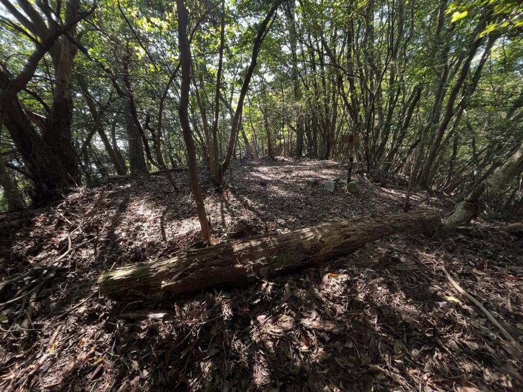
しばらく林道を歩くと、関ヶ森のピークの横に。
秋になると、このあたりはキノコ山になるため、山への立ち入り禁止の張り紙があちこちにあり、ロープが張られています。
関ヶ森の登り口にはテープが張られていなかったので、登らせていただきました。
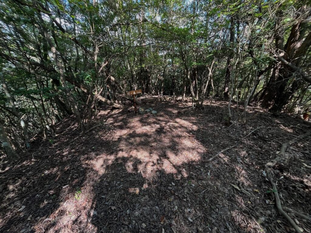
とはいうものの、木々の間をちょこちょこ登っていけば、山頂に到着です。
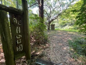
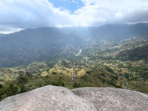
眺望はありませんが、小さな広場になっています。
三角点もありました。
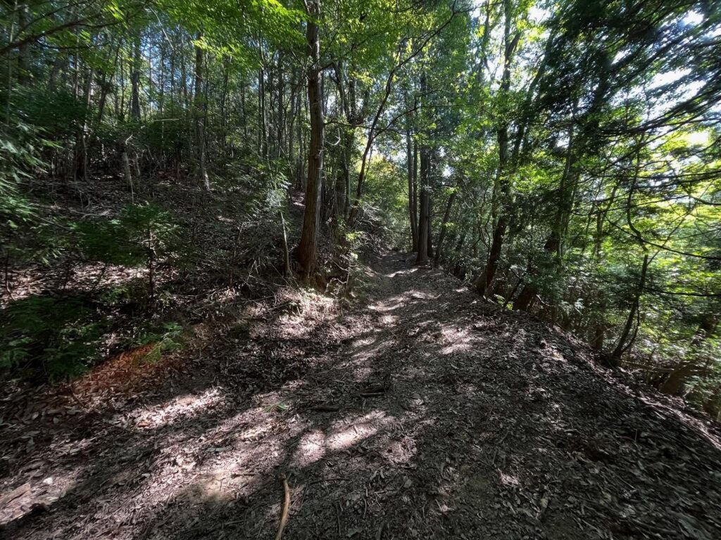
そのまま真っすぐ進んでいくと、林道に合流します。
こちら側の登り口からの方が、しっかりしていて歩きやすくお薦めです!
さて、林道に戻って、観音山を目指します!
最初はきれいな道なのですが…
ここはまだきれいな場所です
普通の軽自動車で登ってきているのが凄い…
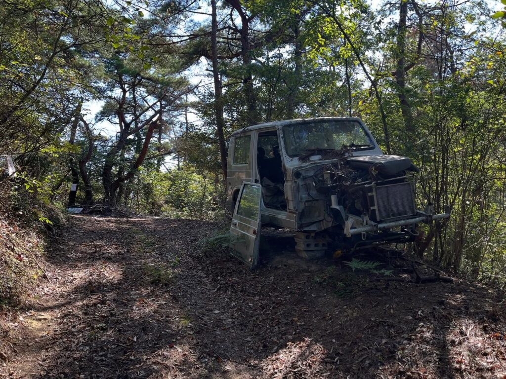
何がどうなったら、こういう状態になるのか?
キノコ泥棒と怪しまれないように要注意!

とはいっても距離はわずか
#関ヶ森
#せきがもり
#標高592m
#関ヶ森山
#榎ヶ峠
#三角点
#庚申祠
#愛媛の小山登り
#小山登り
#愛媛県
#松山市
#小野町
#キノコ山
Kannon Mountain visible along the path from Hirai to the Jikiba.
I’d been searching for various hiking routes, but they seemed quite complex and difficult.
It was a mountain close by, yet one I couldn’t quite manage to climb.
The other day, I was told, “You can traverse from Enokiga Pass just before Sugitate Mountain!” So I went right away.
Since Kagamori is also along the way, I can hit two peaks today♪
First, I headed up the path marked by the Daishi Temple sign toward Enokiga Pass.
Just like last time, it’s a tough trail—narrow, slippery, packed with fallen leaves, branches, and loose rocks.
I wouldn’t recommend it unless you have a powerful scooter, a 4WD kei truck, or a Jimny.
Upon reaching Enokiga Pass, I paid my respects at the Koshin Shrine and started walking along the forest road.
You’d think few people come here, but there’s a proper forest road with tire tracks.
Enokiga Pass is 514m elevation, Sekigamori is 592.2m.
There’s some slight up and down, but it mostly feels like walking sideways.
After walking along the forest road for a while, you’ll reach the side of Sekigamori’s peak.
In autumn, this area becomes a mushroom mountain, so there are signs prohibiting entry to the mountain everywhere, and ropes are strung up.
There was no tape at the Sekigamori trailhead, so I went ahead and climbed.
That said, if you just zigzag your way up through the trees, you’ll reach the summit.
There’s no view, but it’s a small clearing.
There was also a triangulation point.
Continuing straight ahead, you’ll merge onto the forest road.
The trailhead on this side is better maintained and easier to walk, so I recommend it!
Now, back on the forest road, heading for Kannon Mountain!
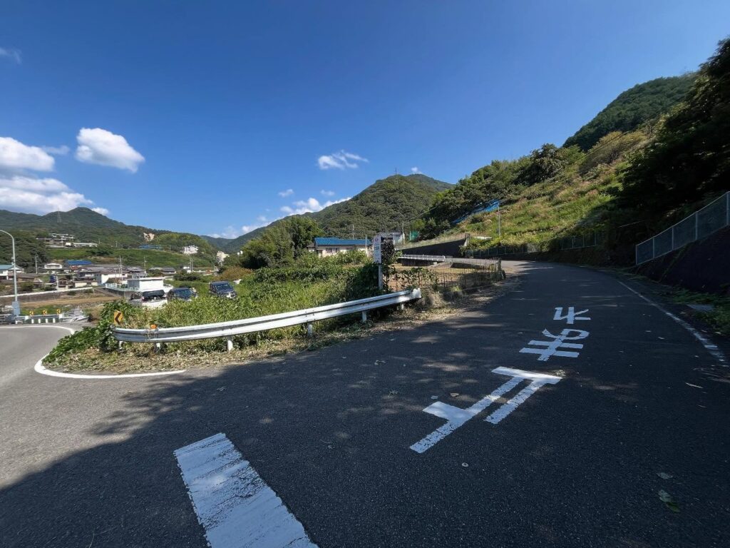
榎ヶ峠の登り口
榎ヶ峠のMAP(縦走登山口)
関ヶ森のMAP
活動データ(YAMAP)
活動データはYAMAPからご覧ください↓