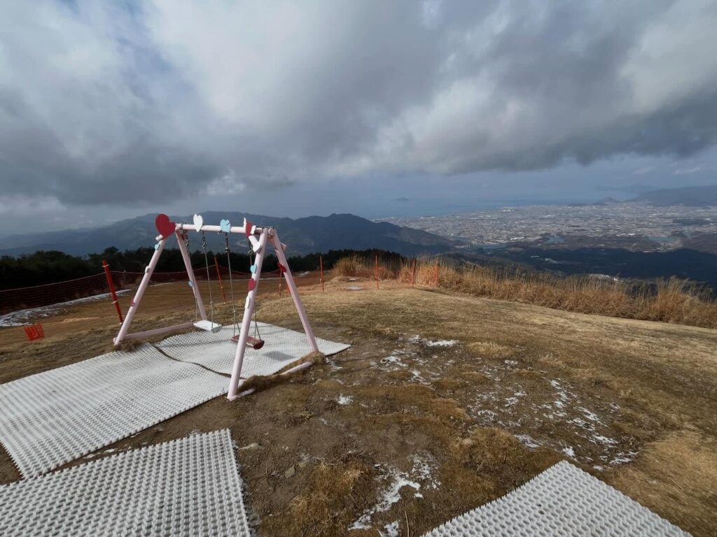
雲辺寺山頂公園の天空のブランコ(香川県観音寺市・徳島県三好市)標高920m
本日は松山ハイキングクラブの四国百名山の会。
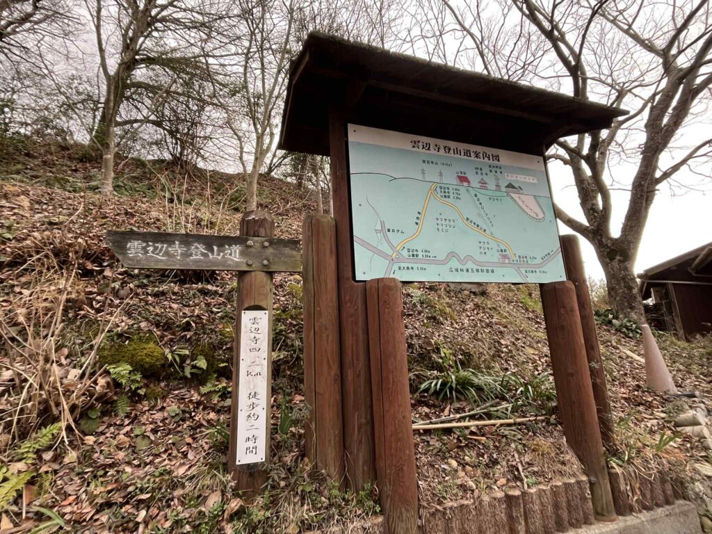
雲辺寺山に登ります。
雲辺寺山は、3年前にロープウェイで登ったことがあります。
ロープウェイ横に登山口があり、いつか登ってみたいなと思っていたお山です。
今回は、この登山口がゴール地点。
別の登山口から登って、ぐるっと周回します。
体操をして、登山口から出発。
雨が降りそうかなと思ったのですが、なんとか大丈夫そうです。
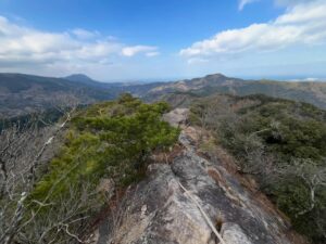
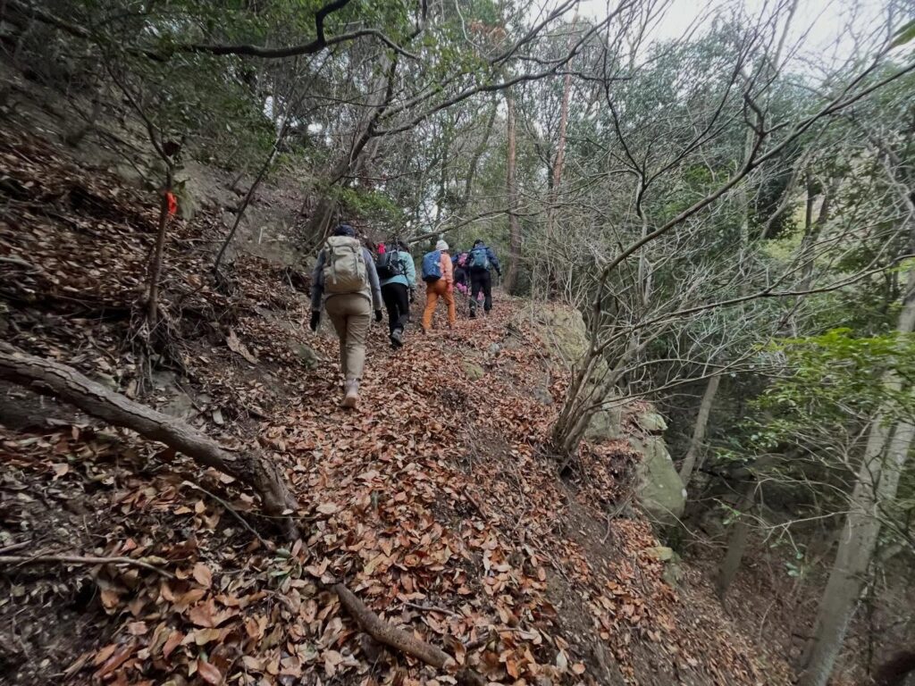
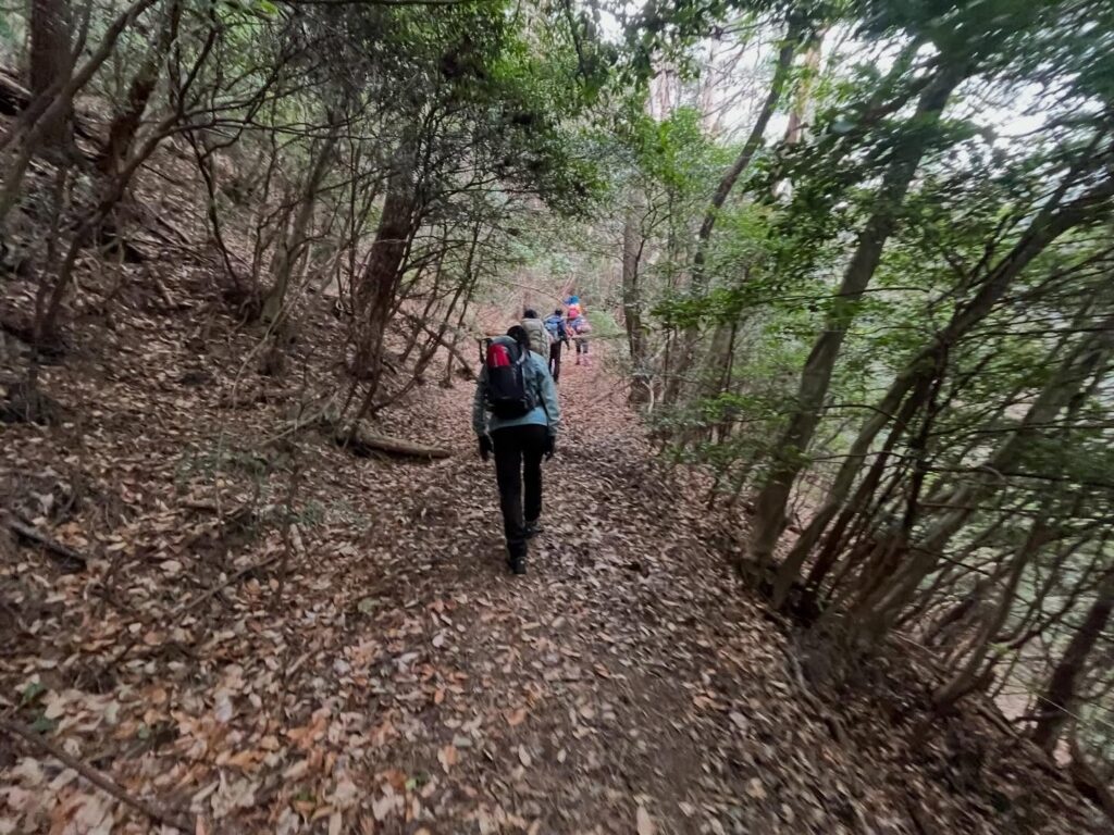
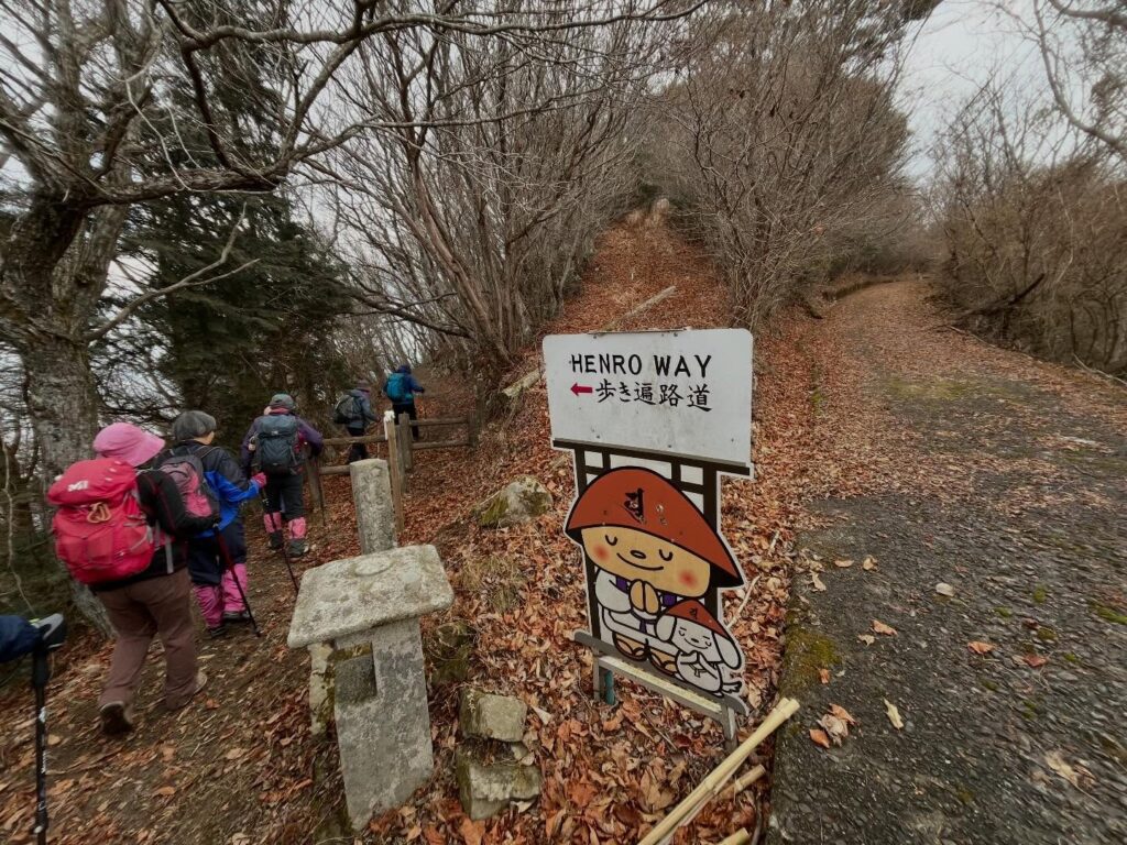
四国八十八箇所霊場第六十六番 雲辺寺への遍路道でもあるためか、道はとてもなだらかで整備されています。
そのため、とても登りやすい、登りやすいのですが、景色が変わらないため、ちょっと退屈です。
黙々と登りますが、そこは集団登山ですので、会話をしながら登ると、あっという間に時間が過ぎていきます。
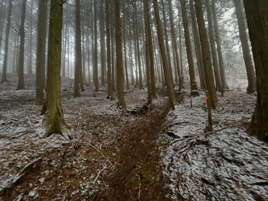
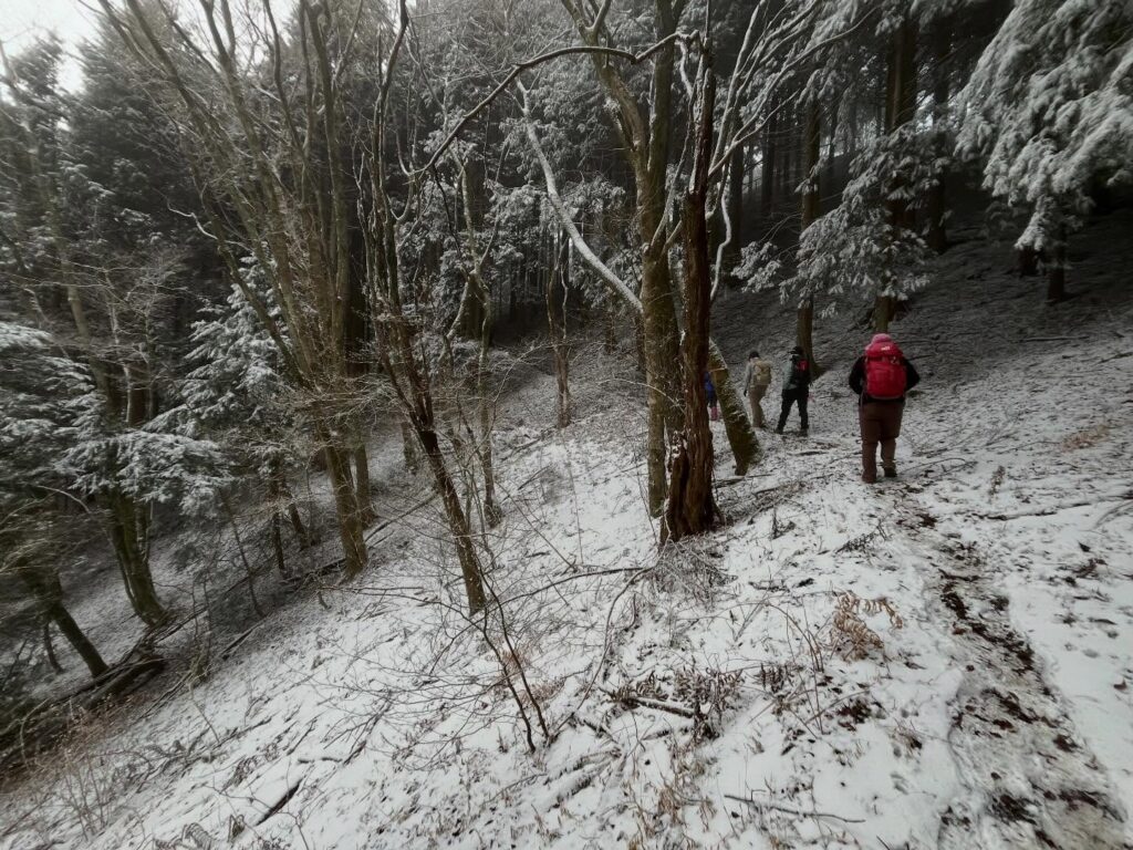
後半は薄く雪化粧の景色に。
雪が少ない街で暮らしていると、薄くても雪景色にわくわくしてしまいます。
白く、美しい景色を楽しみながら登れました。
そして舗装された道へ。
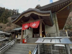
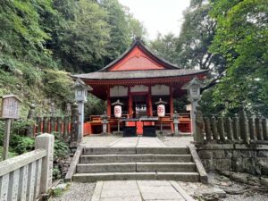
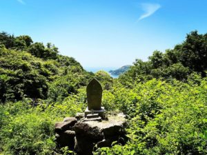
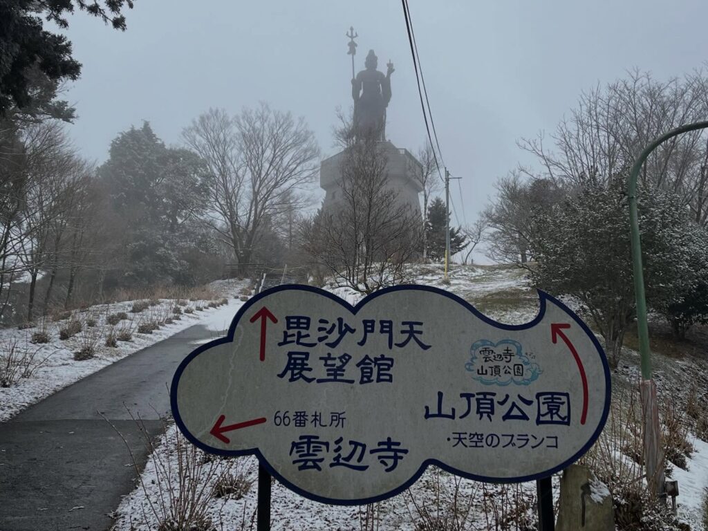
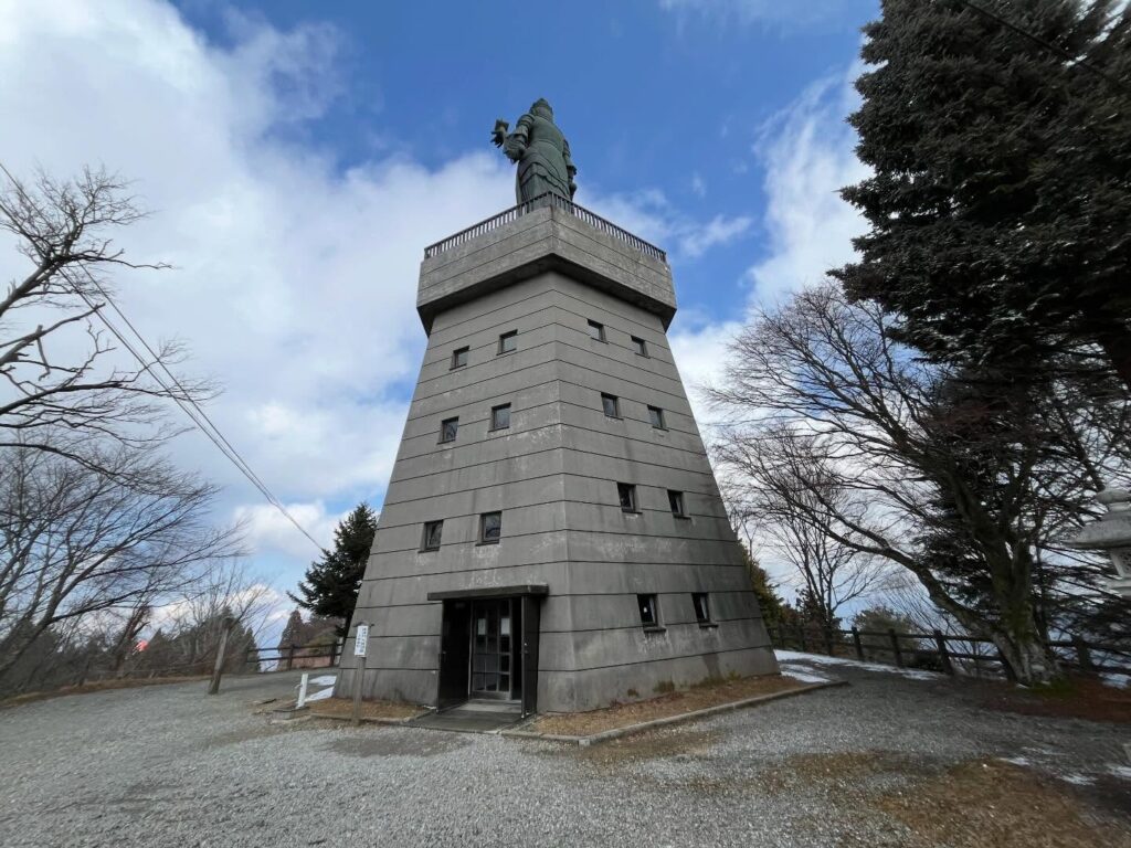
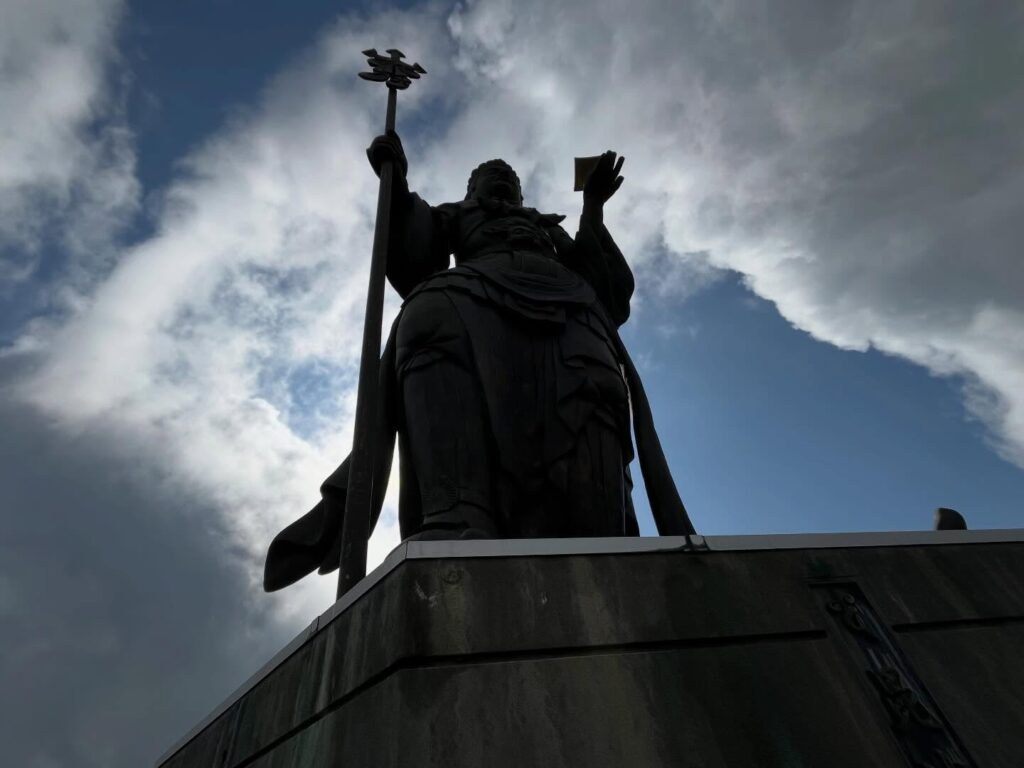
毘沙門天が出迎えてくれました。
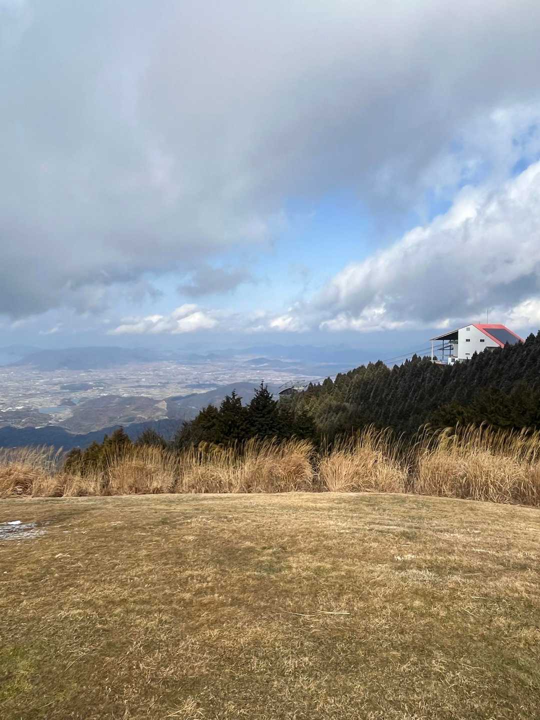
まずは、雲辺寺山頂公園へ。
家族連れがいっぱいでした。
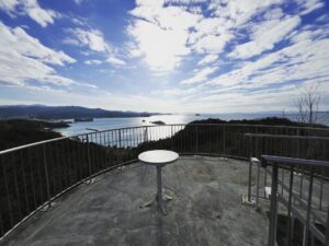
天空のブランコと、人工雪のそり場が大人気でした。
ガスで眺望がなかったのですが、しばらくするとガスが流れて見事な展望も楽しめました。
旧スノーパーク雲辺寺の建物にはレストランがあり、なんと、熱々のうどんが食べられることに。
山登りしていることを忘れてしまいますね。
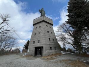
その後は毘沙門天展望台で、眺望を楽しみます。観光ですな。
この毘沙門天展望台の横あたりが、YAMAPの最高点あたりです。
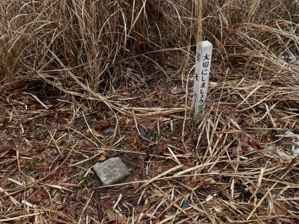
三角点はありません。
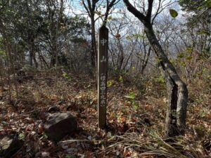
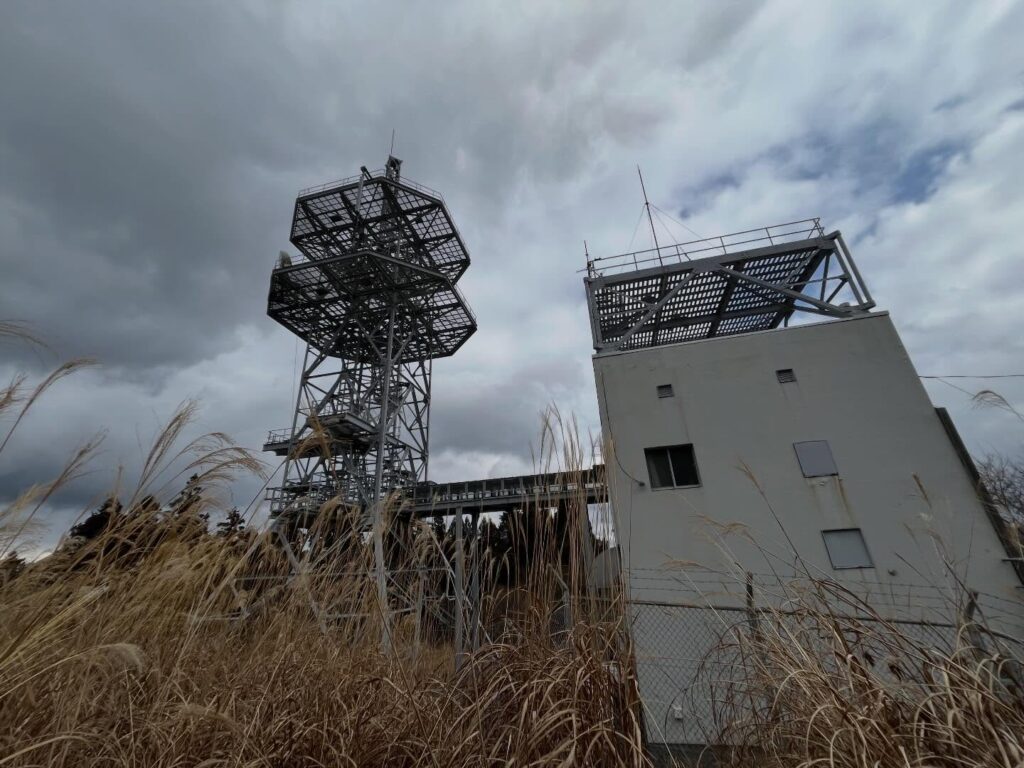
三角点は、少し北に移動すると、NTTドコモ雲辺寺基地局があります。
その下に二等三角点「雲辺寺山」がありました。
標高910.7m。
雲辺寺山の山頂より少し低いですね。
実はもう1ヵ所、三角点があるそうです。
西峰にある四国地方建設局雲辺寺無線中継局から山に入っていくと、四等三角点「蛇の谷」があるそうです。
こちらは標高916.2m。
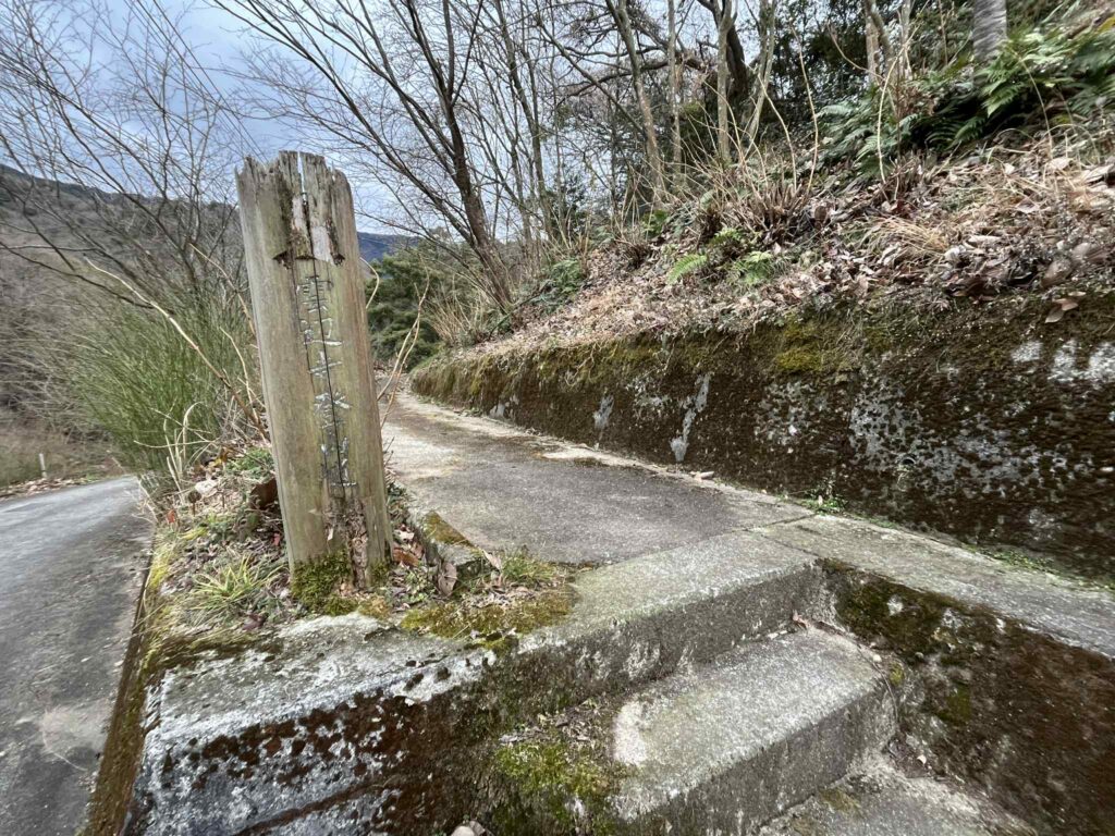
雲辺寺山頂をしっかり楽しんだ後に、別ルートで、雲辺寺ロープウェイの登山口まで下りていきました。
こちらも、なだらかで歩きやすい道でした。

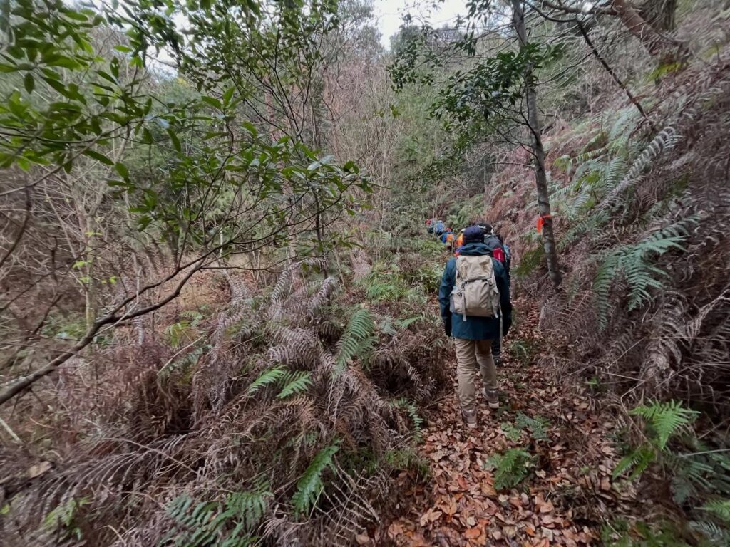
立派な道です
登山道から少し外れますのでYAMAPを確認しましょう!
このような同じ景色が続きます
楽しくなってきました!

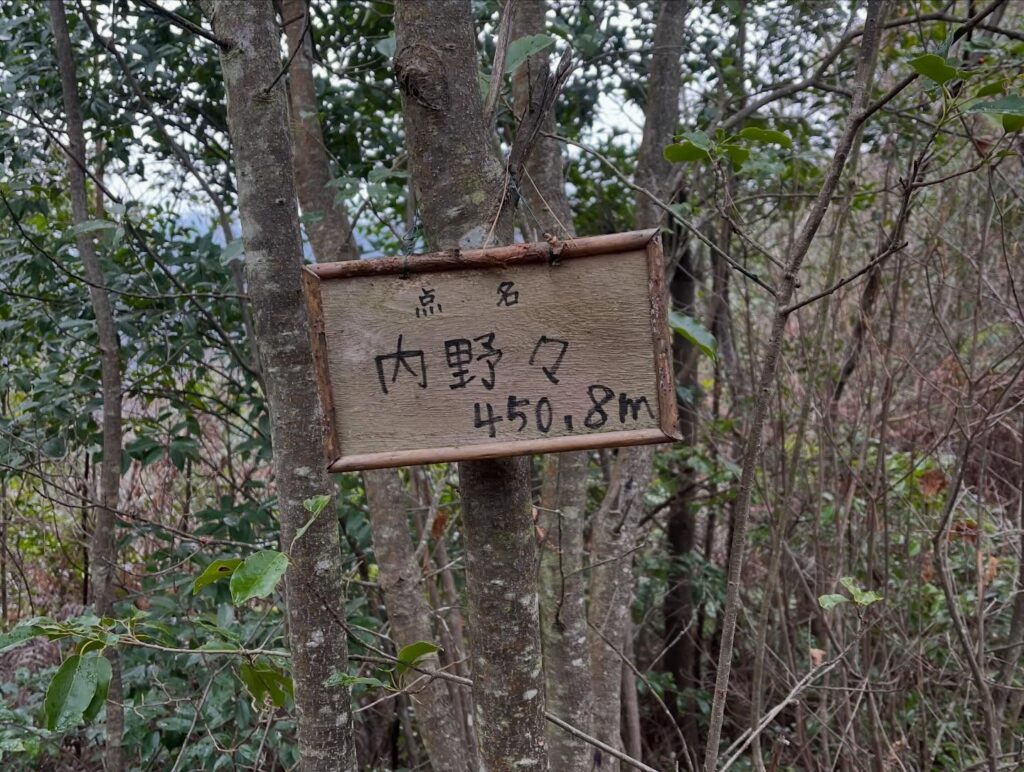
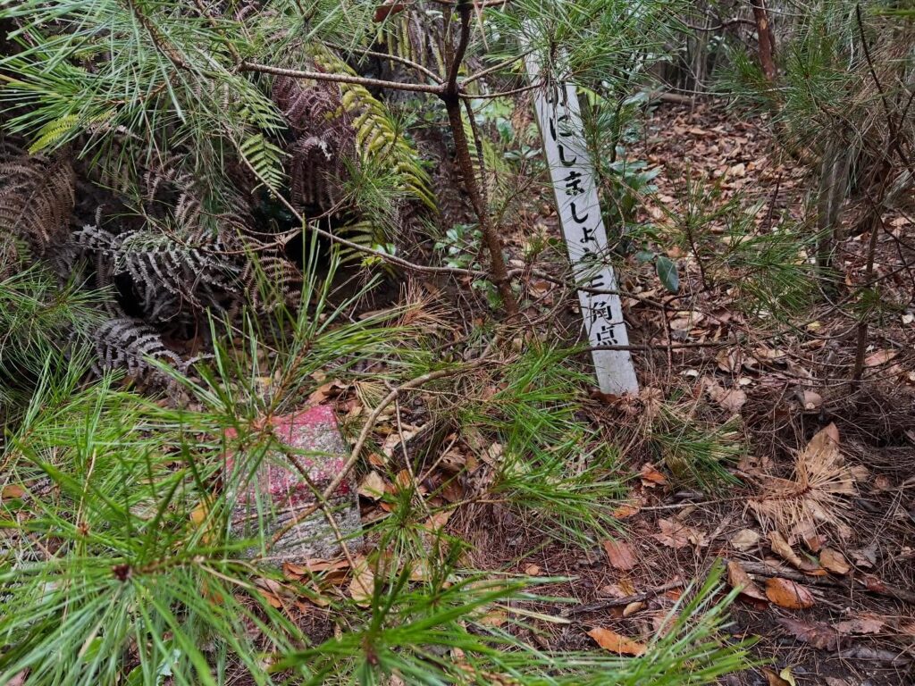
登山道は約4kmなのでスタートは三十丁台でした
ガスの中、毘沙門天が出迎えてくれました
この後、一気にガスが晴れていきます
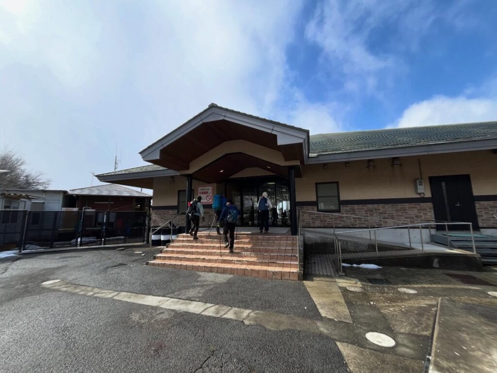
中に食堂があります
熱々のちくわ天入りのうどんをいただきました
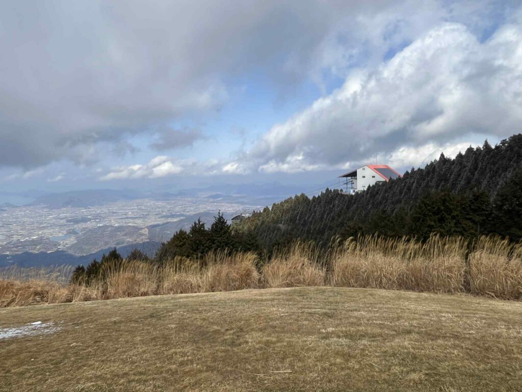
雲辺寺ロープウェイの山頂駅が見えます
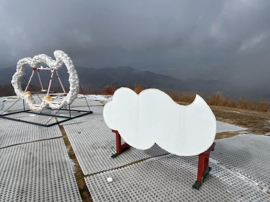
親子連れでいっぱいでした
メインの方は順番待ちですが
こちらは子ども用なので空いています
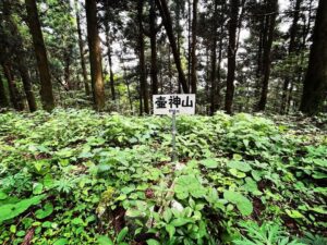
このあたりが雲辺寺山の山頂です
三角点も標識もありません
逆光で伝わりにくくてすみません
なかなかの迫力でした
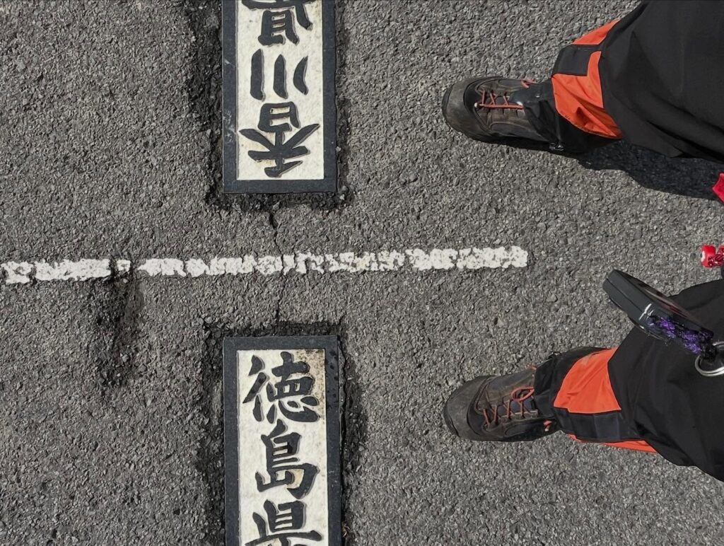
雲辺寺は香川県のお遍路ですが、住所は徳島県になります
さらに埋もれていますね
左の道は雲辺寺ロープウェイ山麓駅の登山口へ
#雲辺寺山
#うんぺんじさん
#標高920m
#雲辺寺ロープウェイ
#雲辺寺山頂公園
#うんぺんじさんちょうこうえん
#天空のブランコ
#愛媛の小山登り
#小山登り
#香川県
#観音寺市
#徳島県
#三好市
#四国百名山
Today is the Shikoku Hundred Famous Mountains meeting of the Matsuyama Hiking Club.
We’re climbing Unpenji Mountain.
I rode the ropeway up Unpenji Mountain three years ago.
There’s a trailhead next to the ropeway, and I’d always thought I’d like to hike up this mountain someday.
This time, this trailhead is our destination.
We’ll ascend from another trailhead and make a loop around the mountain.
After doing some exercises, we set off from the trailhead.
I thought it might rain, but it seems we’ll be okay.
Perhaps because it’s also the pilgrimage path to Unpenji Temple, the 66th temple of the Shikoku 88 Temple Pilgrimage, the trail is very gentle and well-maintained.
This makes it very easy to climb, very easy indeed, but the scenery doesn’t change much, so it gets a bit boring.
We climb silently, but since it’s a group hike, chatting while climbing makes the time fly by.
The latter part revealed a landscape lightly dusted with snow.
Living in a town with little snow, even a thin layer of snowy scenery gets me excited.
I enjoyed the climb while taking in the white, beautiful scenery.
Then we reached a paved road.
Bishamonten greeted us.
First, we headed to Unpenji Summit Park.
It was packed with families.
The Sky Swing and the artificial snow sledding area were hugely popular.
Though fog initially obscured the view, it cleared after a while, revealing a magnificent panorama.
The old Snow Park Unpenji building housed a restaurant where, amazingly, we could enjoy piping hot udon noodles.
It made us forget we were mountain climbing.
After that, we enjoyed the view from the Bishamonten Observatory. Pure sightseeing.
This area beside the Bishamonten Observatory is roughly the highest point on YAMAP.
There’s no trig point here.
If you move a little north, you’ll find the NTT Docomo Unpenji Base Station.
Below that was the second-order trig point “Unpenjiyama.”
Elevation: 910.7m.
It’s slightly lower than the summit of Unpenjiyama.
Actually, there’s reportedly one more triangulation point.
If you head into the mountains from the Shikoku Regional Construction Bureau Unpenji Wireless Relay Station on the West Peak, there’s said to be a fourth-order triangulation point called “Snake Valley.”
This one is at an elevation of 916.2m.
After thoroughly enjoying the summit of Unpenji Mountain, we descended via a different route to the trailhead for the Unpenji Ropeway.
This path was also gentle and easy to walk.
雲辺寺登山口
雲辺寺山頂公園のMAP
二等三角点「雲辺寺山」のMAP
雲辺寺ロープウェイ山麓駅(登山口)のMAP
活動データ(YAMAP)
活動データはYAMAPからご覧ください↓