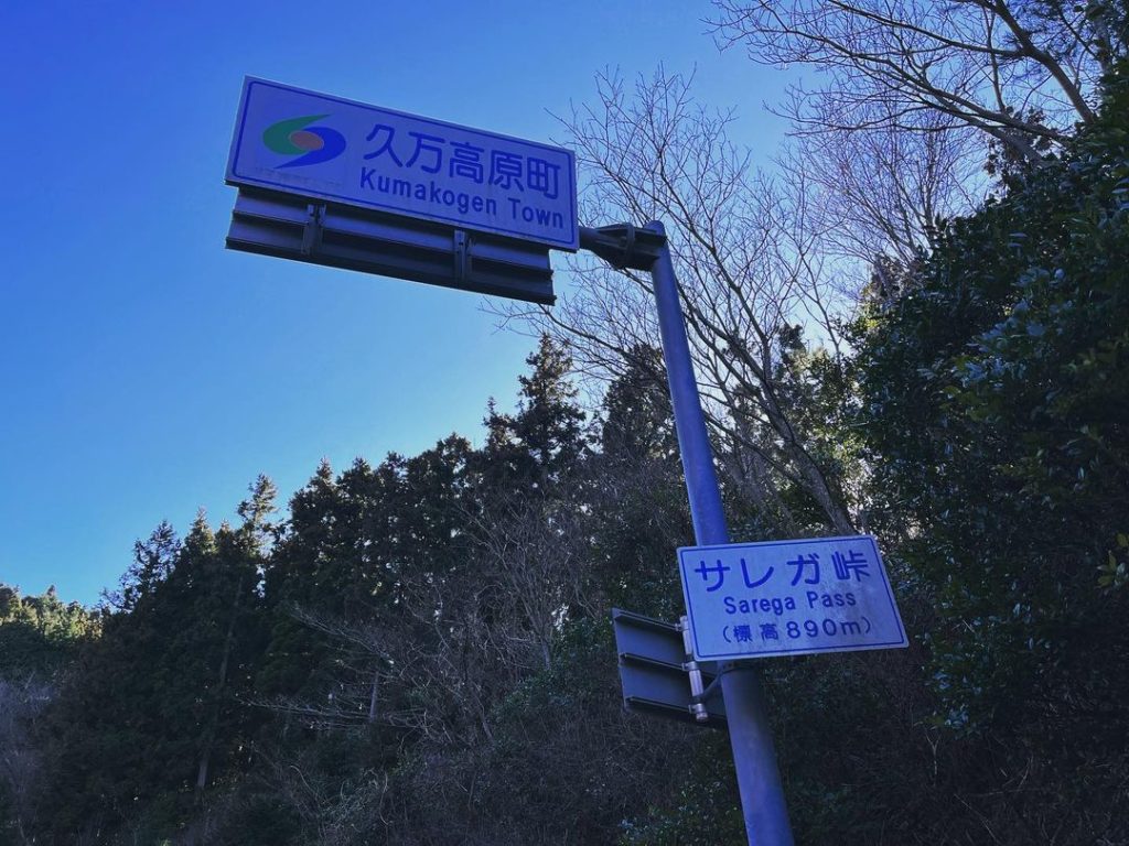
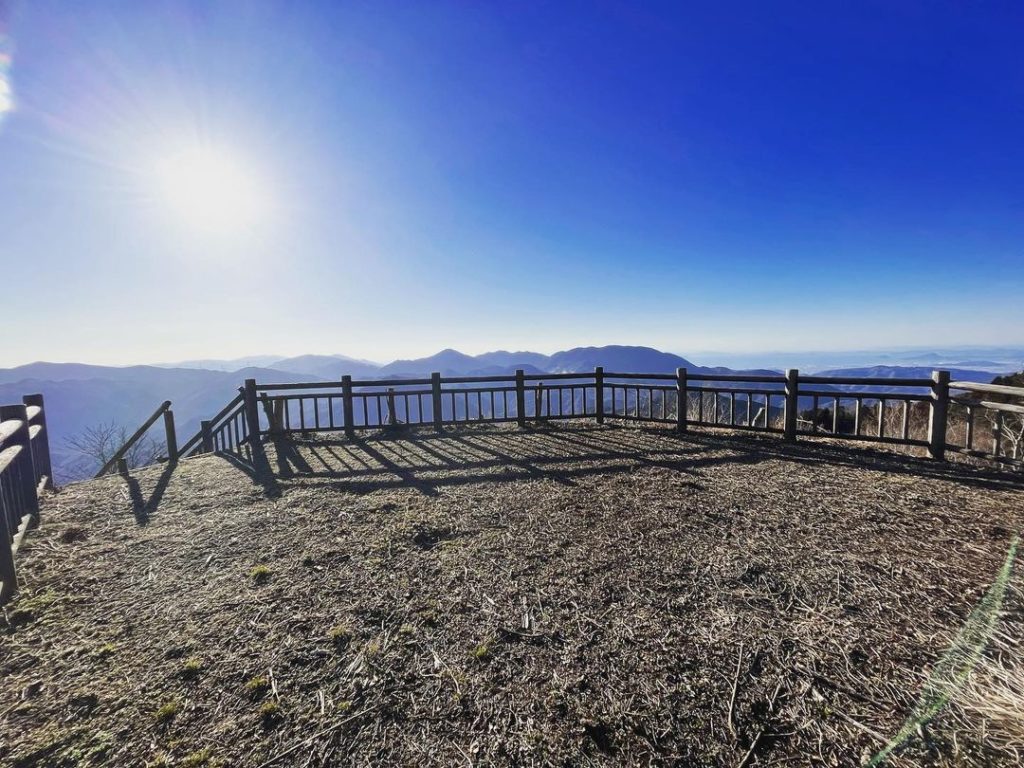
サレガ峠とサレガ峠展望台(愛媛県上浮穴郡久万高原町)標高890m
山に登る目的を考えてみると
登山は山頂、自転車は峠かなと思います。
今回は、バイカーの方のinstagramで知った「サレガ峠」に!
なんでも良い展望台があるそうです。
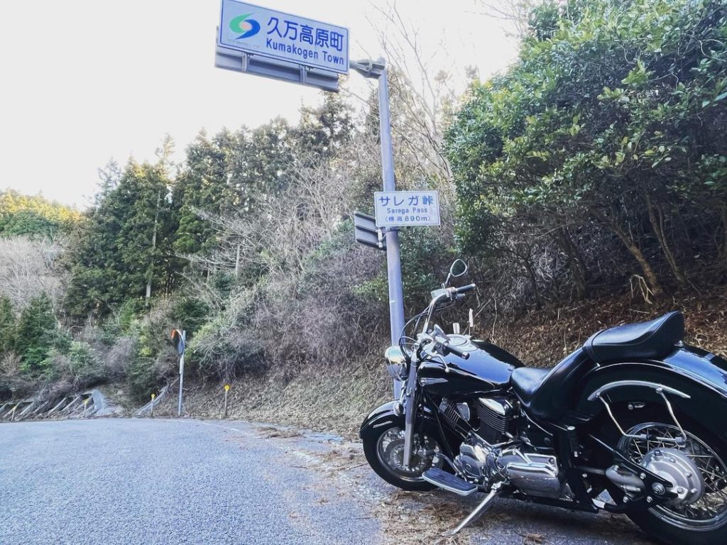
私は自転車ではないバイクで行ってきました。
広田に向かって登っていき、途中から左折します。
なかなか細くくねった道を登っていきます。
さすがに途中、不安になり、google mapで確認を。
無事に、サレガ峠に到着しました。
ところが、あれ?あれれ?
展望台はどこに?
あちこち探し回りましたが見つからず。
検索しても情報少なすぎますし、電波ギリギリですし(汗)
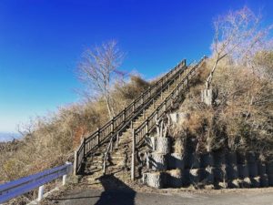
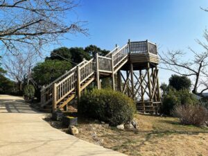
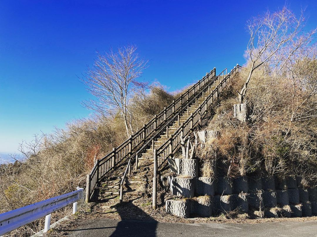
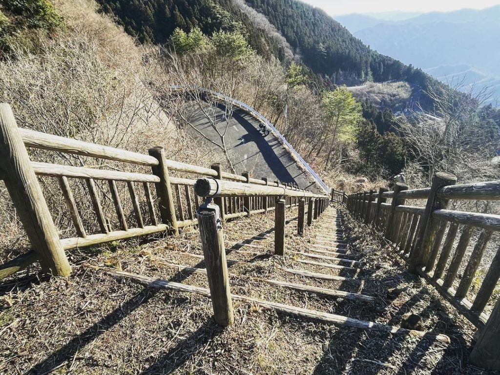
あきらめて下り始めたところ、すぐに見つかりました。
登りは山側を見ていたので気づかずです。
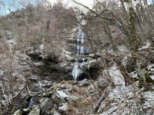
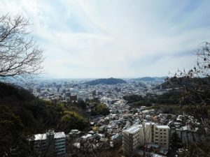
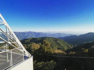
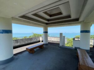
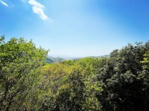
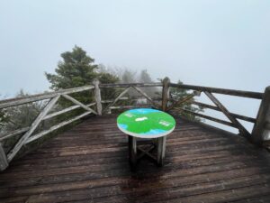
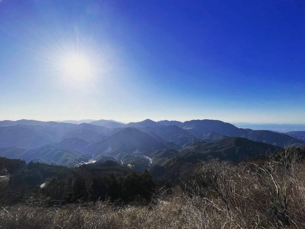
階段下の景色も素晴らしいですが、階段を登った景色も素晴らしい!
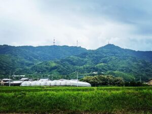
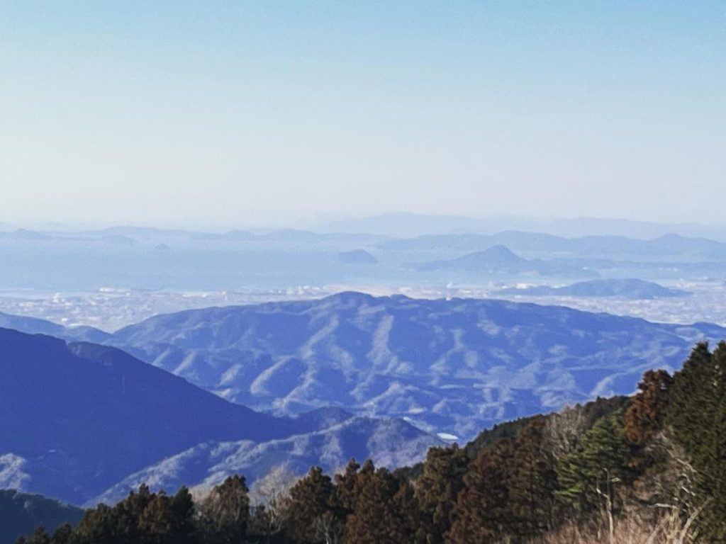
山の景色、街の景色の両方を堪能できました。
ところでサレガって何なのでしょう?
#サレガ峠
#標高890m
#サレガ峠展望台
#展望台
#愛媛の小山登り
#小山登り
#愛媛県
#砥部町
#久万高原町
#県道220号
#drugstar1100
#drugstar1100classic
#番外編
I think about the purpose of climbing mountains.
I think mountain climbing is the summit and biking is the pass.
This time, I’m going to “Sarega Pass,” which I learned about from a biker on instagram!
I heard there is a good lookout point for everything.
I went there with my non-bike bike.
Climb up toward Hirota and turn left at the halfway point.
The road is quite narrow and winding.
I was indeed worried on the way up, so I checked google map.
I arrived at the Sarega Pass without incident.
However, what is it? Where is the observatory?
Where is the observatory?
We looked everywhere, but could not find it.
There was too little information to search for, and the signal was just barely there.
We gave up and started to descend, and soon found it.
I didn’t notice it because I was looking at the mountain side on the way up.
The view down the stairs is great, but the view up the stairs is just as amazing!
I enjoyed both the mountain view and the city view.
By the way, what is Salega?