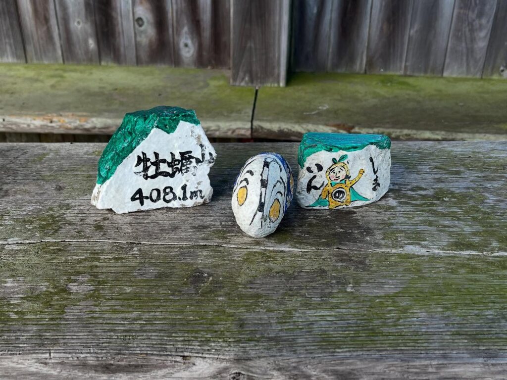
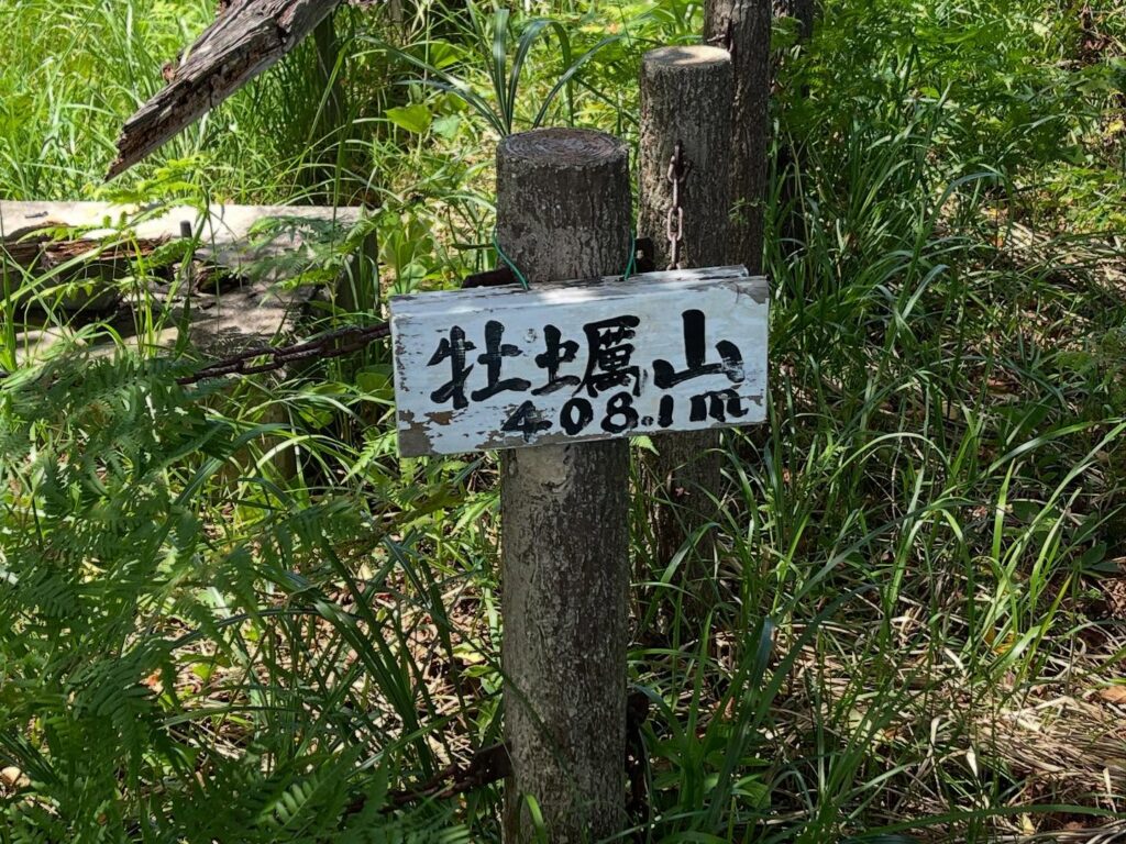
牡蠣山 長い尾根道の先にある美しき山頂展望台(広島県尾道市)標高408.1m
さて、牡蠣山に登ります。
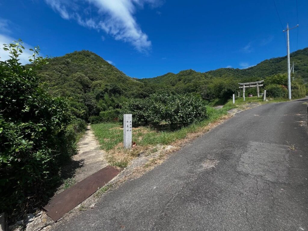
まずは登山口を探すのが大変です。
YAMAPを見ていると、茗荷神社の鳥居のあたりを入っていきたくなりますが間違いです。
薬師寺の左手裏、茗荷神社の鳥居のかなり前に「天満神社 新墓地」の石碑があります。
この横の道を入っていくのが正解です。
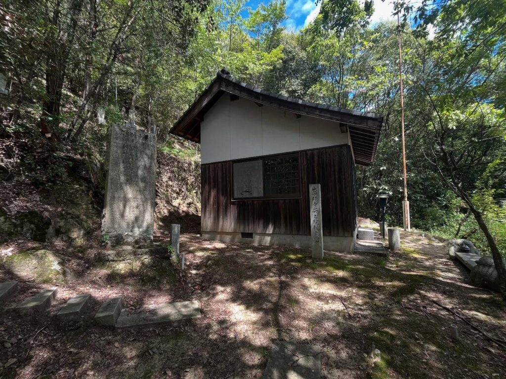
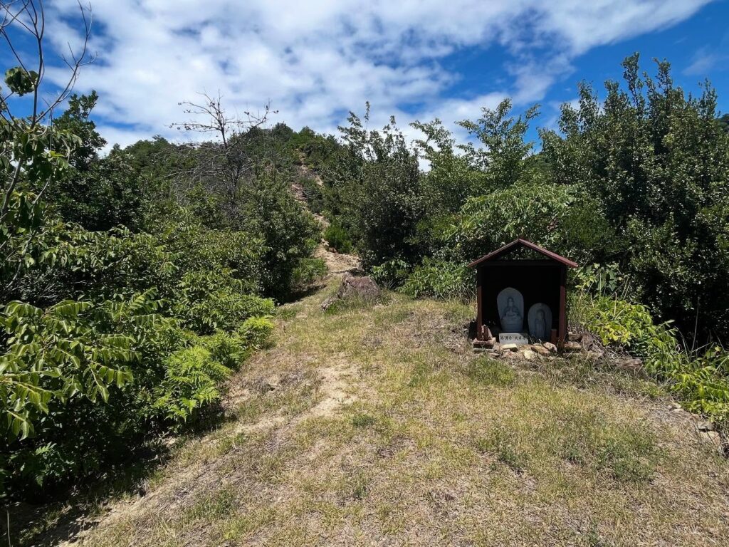
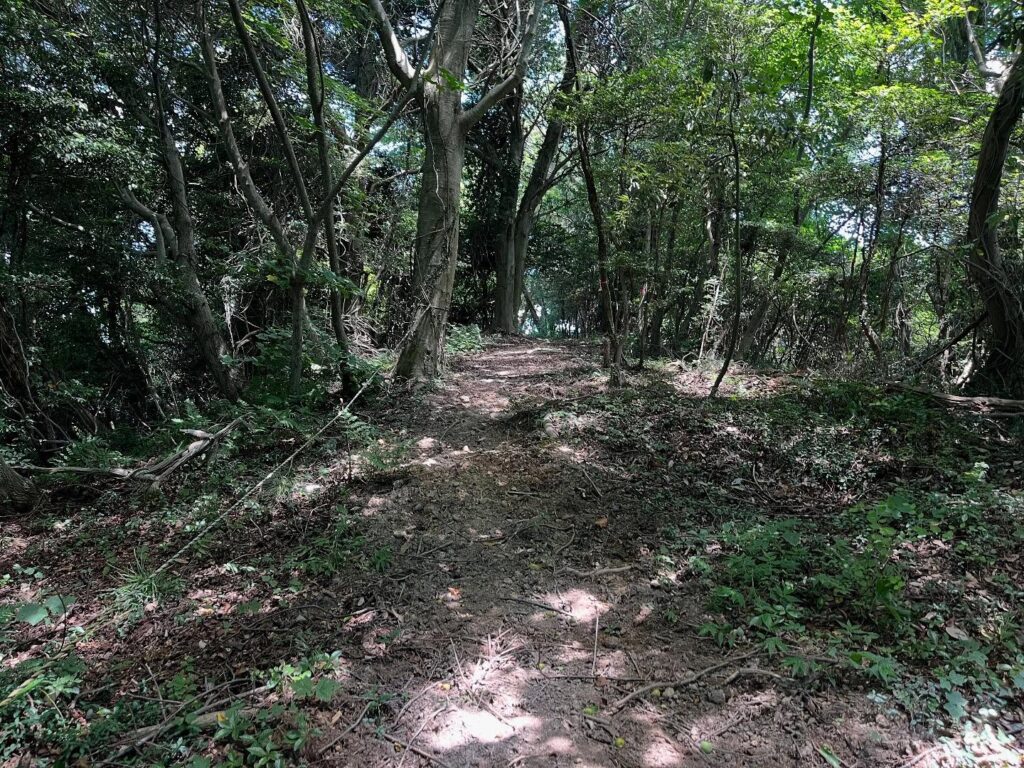
入ってしばらく歩くと、薬師寺奥之院観音堂が見えてきます。
ご挨拶をして登っていきます。
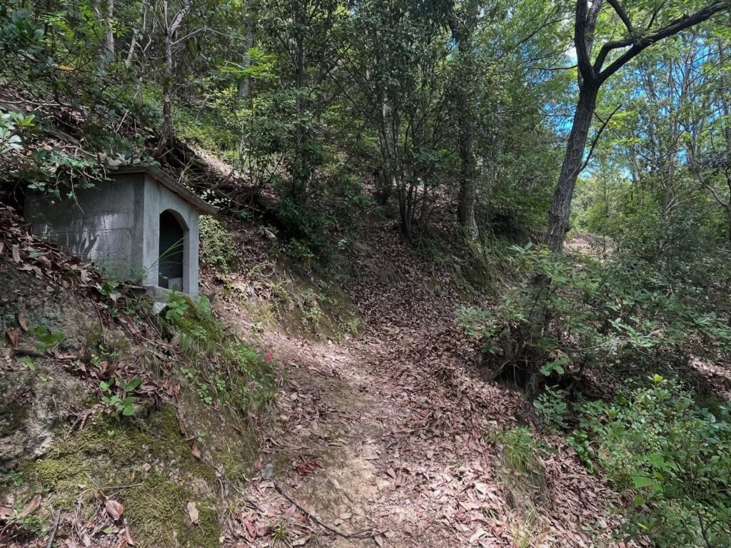
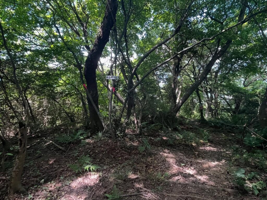
この登山道は「一日四国」の遍路道となっており、定期的に観音像があり、順番に番号が増えていきます。
四十二番までは数えたのですが、あれ、その後はどこにあるのでしょう?
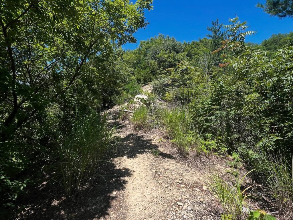
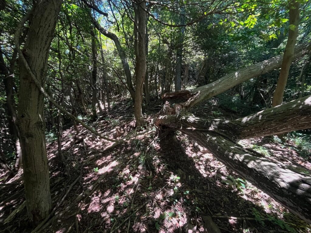
尾根までは木陰の中を進みます。
一気に登っていっき、二十番台ぐらいで尾根に出ます。
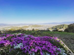
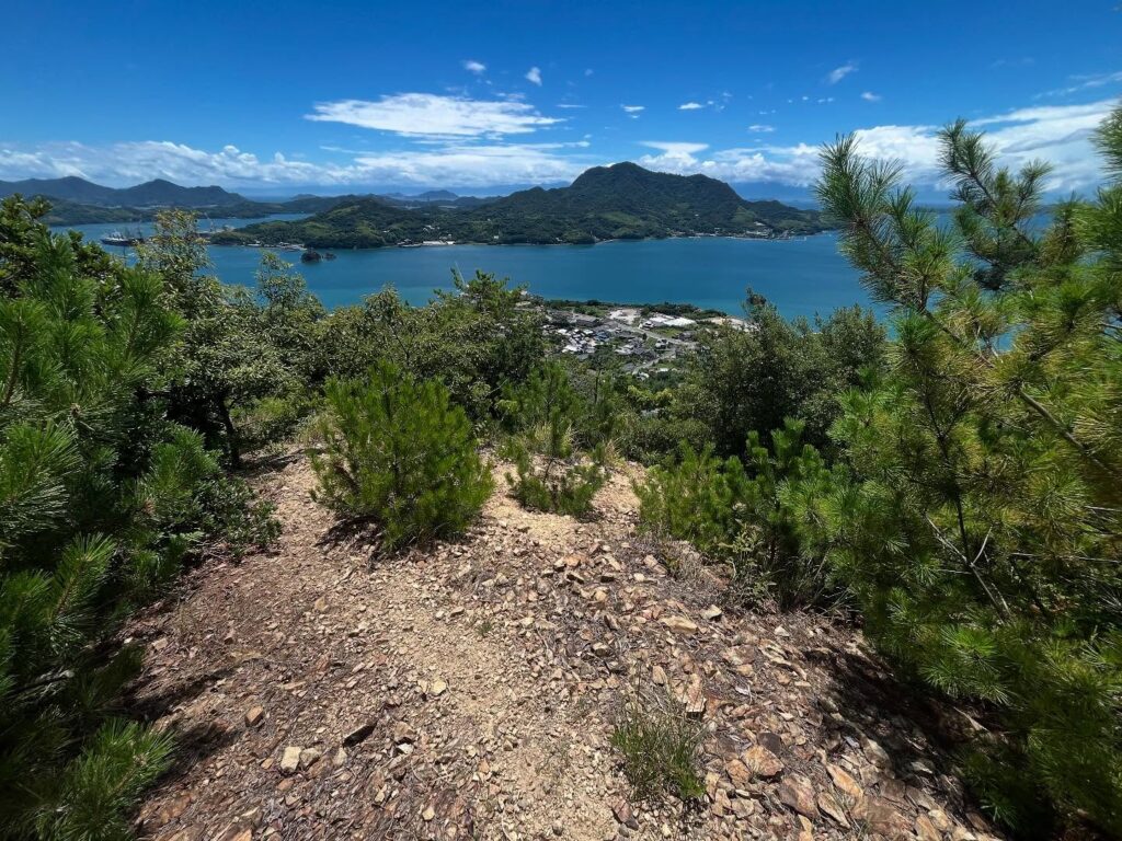
美しいしまなみの景色が見えて幸せなのですが、ここからの尾根歩きは影がありません。
気温は35℃を超えています。
ここからしばらくは、直射日光でどんどん体力が奪われていきます。
登山口から牡蠣山までは、約1時間半のコースなのですが、コの字というか半円を描いた尾根を歩いていきます。
どこからでも牡蠣山が見えるため、なかなか近づいている感じがしません。
木陰が見えるたびに、小さな休憩を繰り返します。
ただし、素晴らしい眺望を眺め続けながら登るのは素敵です!
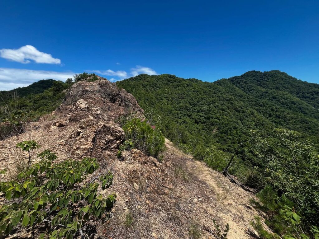
途中には岩場の小ピークもあり、ゆめしま海道方面の島々も眺められます。
後半の1/4あたりからようやく木陰が増えてきます。
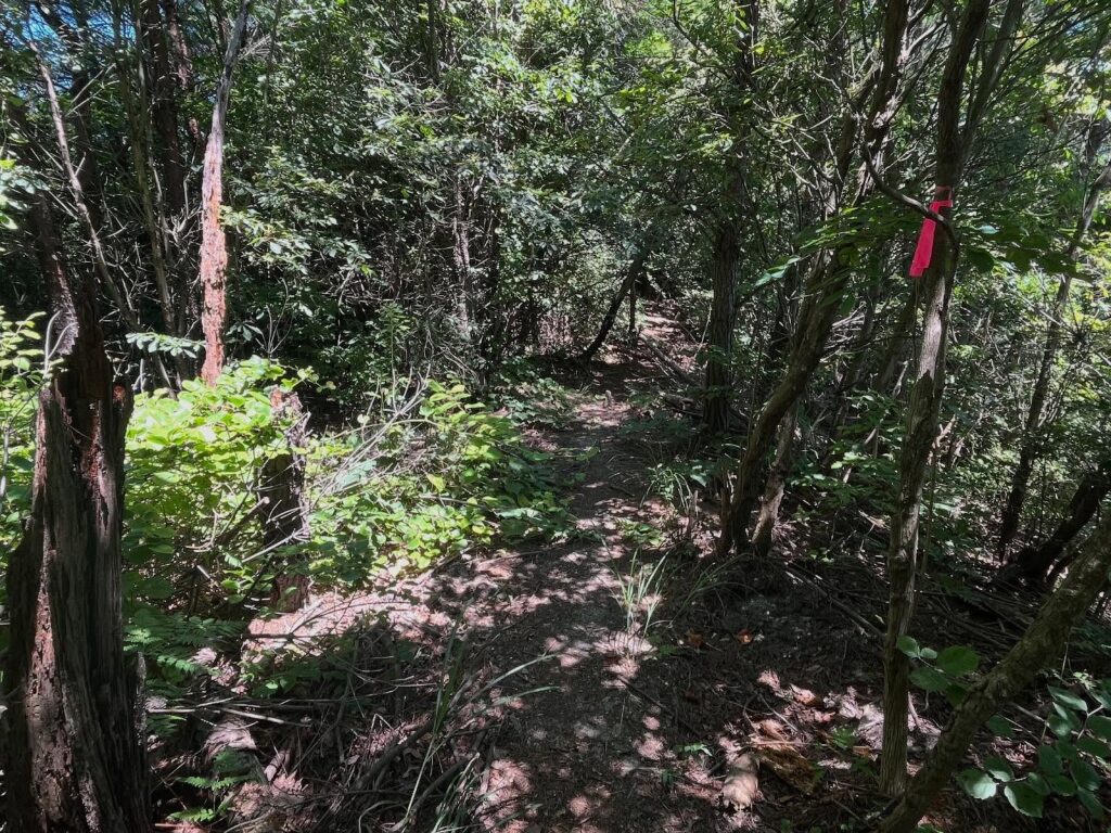
木々の中の尾根道をどんどん進んでいきます。
最後は登りです。
道があるようなないような木々の間を登っていきます。
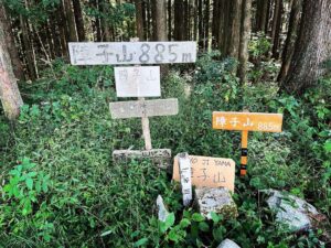
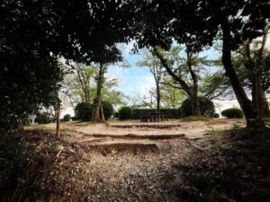
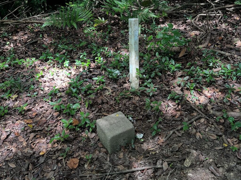
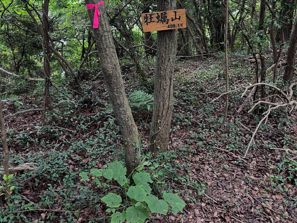
登り切ってしばらく歩くと、いきなり三角点が現れます。
振り返ると、少し離れた場所に、牡蠣山の標識もありました。
通常1時間半の工程を、2時間かけてふらふらになって登ると、そこにあるのは三角点。
これでは、なかなか寂しいです。
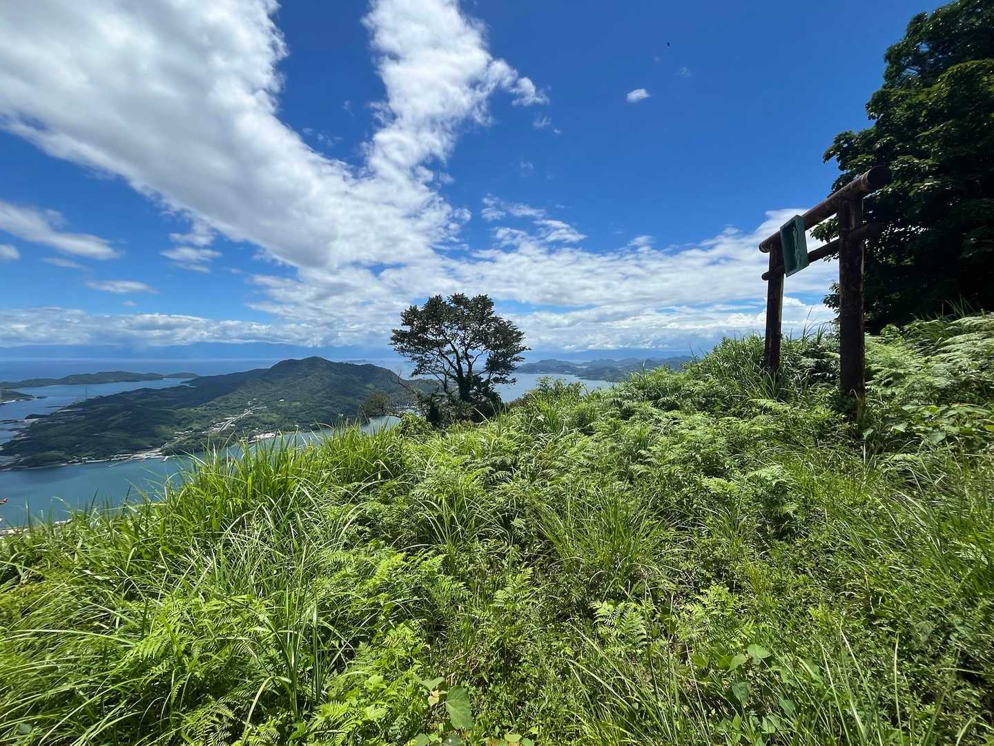
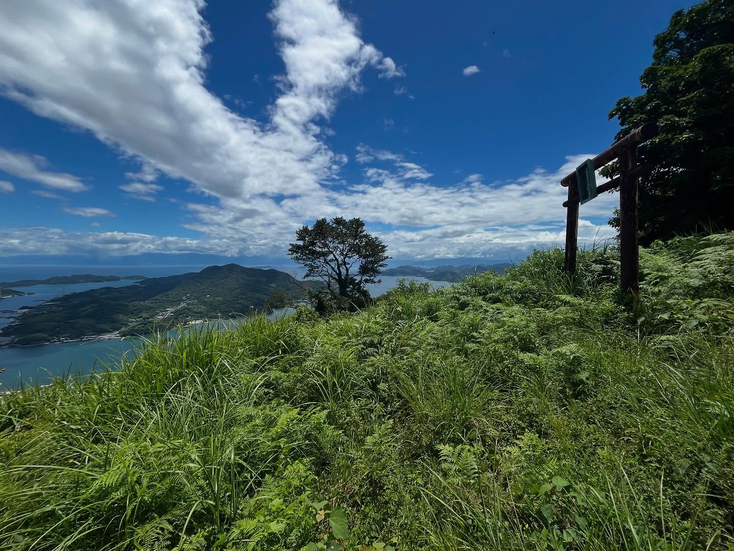
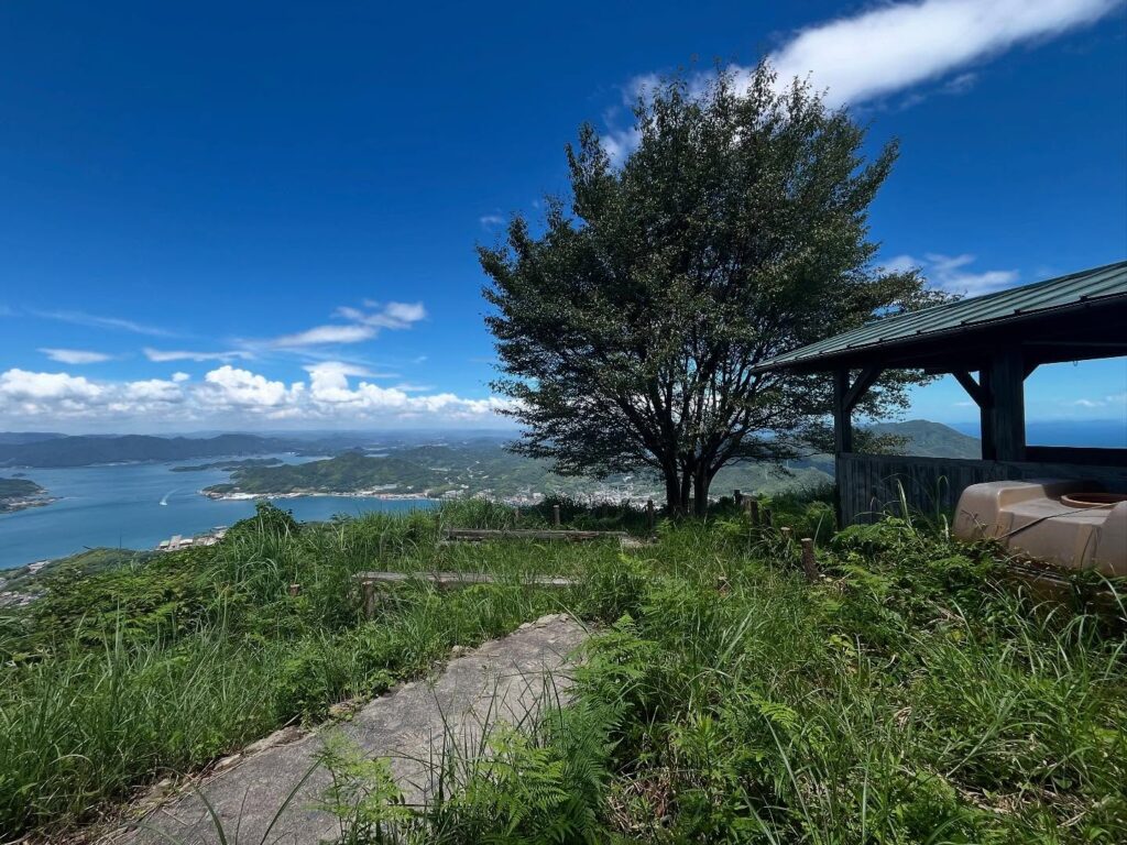
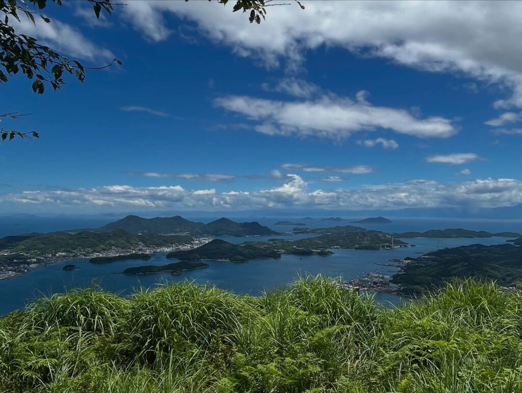
さらに奥に進んでみると、一気に眺望が開けます!
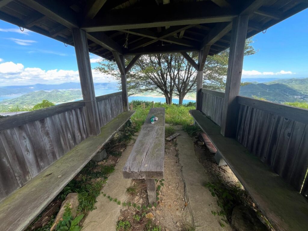
牡蠣山山頂展望台です!
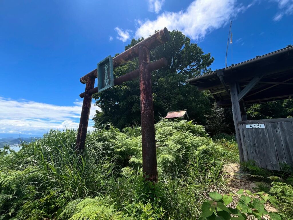
横には白高龍王神社の鳥居と祠があります。
素晴らしきパノラマの眺望。
青い海と空と島が一望できる眺望スポットです。
なんか、疲れが一気に吹き飛びました!
※真夏の炎天下の中の牡蠣山登山は、気温が高い上に、木陰が少なく、熱中症のリスクが高いと感じました。涼しい季節の登山をお勧めします。
※ちなみに牡蠣山の名前の由来は、山の上から牡蠣の殻がたくさん出できたからだとか。
正面の山から上って、右側にぐるっと縦走していきます
まずはくねくね道を登っていきます
岩城島がきれいに見えます
これから左側に進んで、眼の前の山をぐるっと縦走していきます
牡蠣山はもちろん右端です
実際はこのように直射日光の道が3/4は続きます
この日の気温は35℃、風は少なく体力を奪われました
本当に影ってありがたいです
といっても最後の上りの標高差は80m程度です
えっ、眺望が全くない…
山頂に眺望はないのですが、そのまま奥に進んでいきます
牡蠣山 山頂展望台です
これも天空の鳥居ですね!

気力がかなり復活しました!
#牡蠣山
#かきのやま
#標高408m
#との山
#とのやま
#桃立山
#愛媛の小山登り
#小山登り
#広島県
#尾道市
#瀬戸田町
#薬師寺
#白高龍王神社
#茗荷神社
#生口島
#薬師寺奥之院観音堂
Now, let’s climb Kakino-yama.
First, it’s difficult to find the trailhead.
Looking at YAMAP, you might want to enter from the area around the torii gate of Myoga Shrine, but that’s wrong.
On the left side of Yakushi-ji Temple, well before the torii gate of Myoga Shrine, there is a stone monument that says “Tenman Shrine New Cemetery.”
The correct route is to enter the path next to this monument.
After walking for a while, you will see Yakushi-ji Temple’s Okunoin Kannon Hall.
Say hello and continue climbing.
This hiking trail is part of the “One Day Shikoku” pilgrimage route, with Kannon statues at regular intervals, numbered in sequence.
I counted up to number 42, but where are the rest?
You walk through the shade of the trees until you reach the ridge.
Climb quickly, and you’ll reach the ridge around number 20.
The beautiful view of Shimanami is delightful, but the ridge walk from here has no shade.
The temperature exceeds 35°C.
From here on, the direct sunlight steadily drains your stamina.
The course from the trailhead to Oyster Mountain takes about one and a half hours, but you walk along a ridge shaped like a “C” or a semicircle.
Since Oyster Mountain is visible from every angle, it doesn’t feel like you’re getting any closer.
Every time I see a patch of shade, I take a short break.
However, it’s wonderful to continue climbing while enjoying the stunning views!
Along the way, there are small peaks with rocky outcrops, and you can also see the islands of the Yumeshima Kaido.
From about the last quarter of the hike, the shade finally starts to increase.
I continue along the ridge path through the trees.
The final stretch is an ascent.
We climb through the trees, where there seems to be a path but also doesn’t.
After climbing to the top and walking for a while, a triangulation point suddenly appears.
Looking back, there is also a sign for Oyster Mountain a short distance away.
After taking two hours to climb what is usually a one-and-a-half-hour hike, all that’s there is a triangulation point.
This is rather lonely.
However, if you continue further, the view suddenly opens up!
This is the Oyster Mountain Summit Observation Deck!
To the side are the torii gate and shrine of Shirotaka Ryūō Shrine.
A stunning panoramic view.
A viewpoint where you can see the blue sea, sky, and islands all at once.
Somehow, all my fatigue vanished in an instant!
牡蠣山 山頂展望台からのパノラマ眺望(動画)
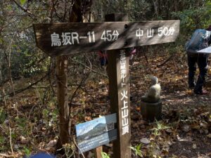
牡蠣山の登山口
牡蠣山のMAP
牡蠣山 山頂展望台のMAP
活動データ(YAMAP)
活動データはYAMAPからご覧ください↓