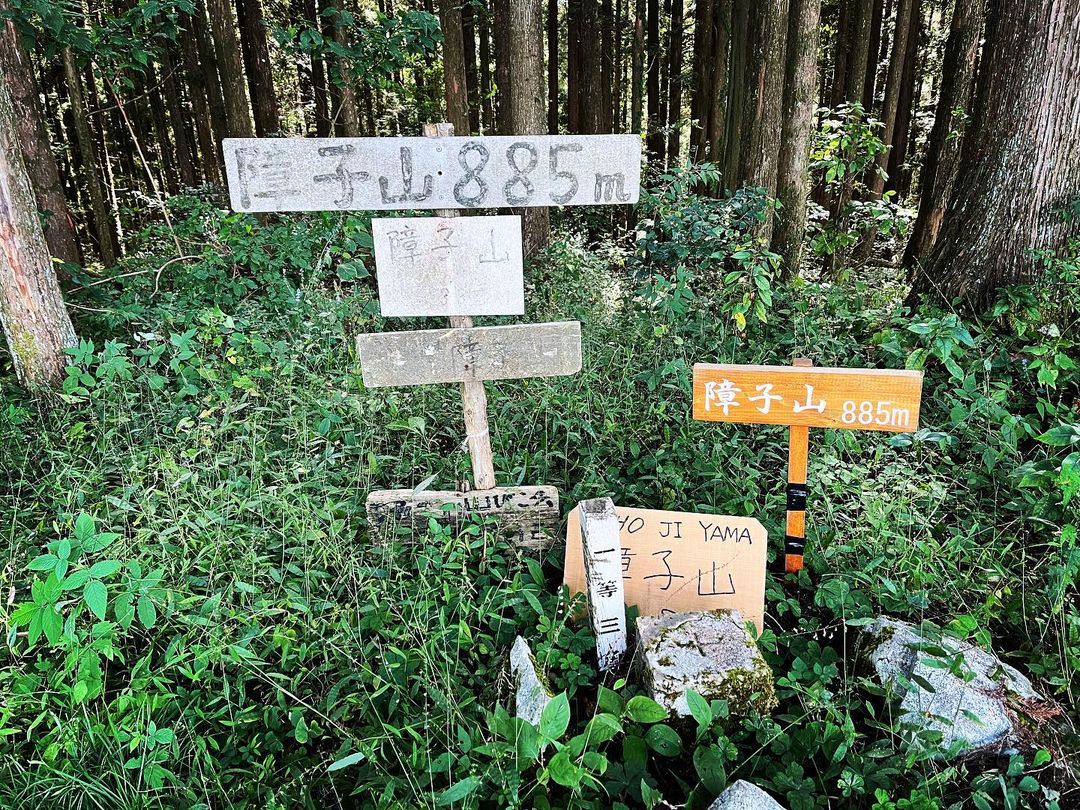
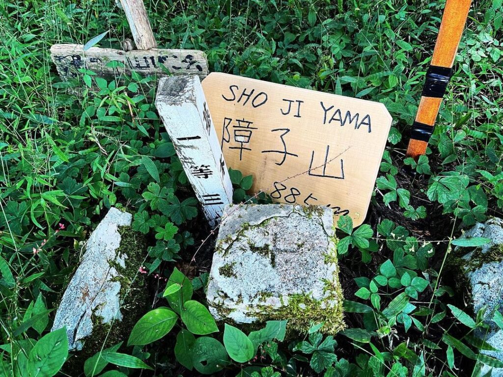
障子山 しっかり登っておきたい四国百山(愛媛県伊予市、愛媛県伊予郡砥部町)標高885.0m
砥部町からも伊予市からも見える、このエリアで最も高い山、障子山。
名前の由来は諸説あるようですが、障子を立てたように見えるからという説が一般的です。
今回は、砥部町鵜の崎の東尾根ルートではなく、伊予市鵜崎ルートで登ってきました。
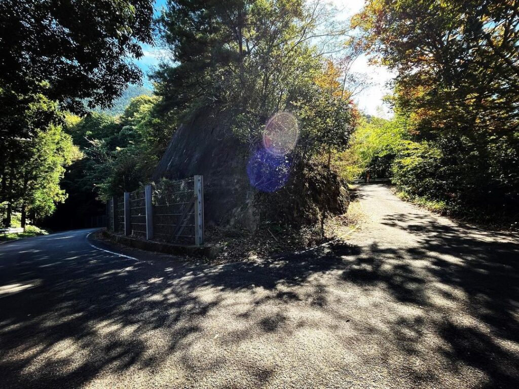
県道53号大平砥部線を砥部側から登り、鵜の崎峠へ。
ここの丁字路から小道に入っていきます。
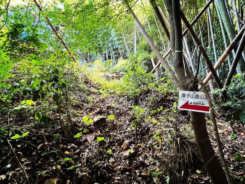
舗装道路を登っていくと、大きないちょうの木があり、ここが登山口です。
ここから民家の庭を素通りさせてもらえると楽なのですが、すぐ下の登山道から入っていきます。
まずは数十メートルの藪道・・・これが辛い、心が折れます。
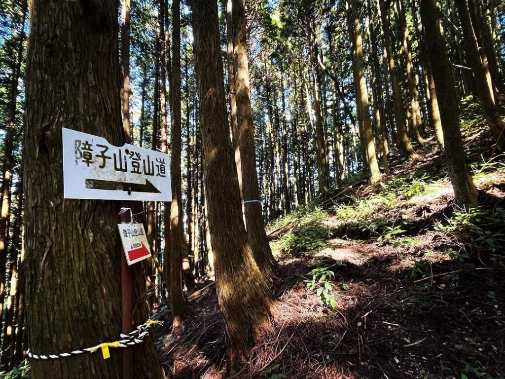
頑張って藪道を通り過ぎると登山道に。
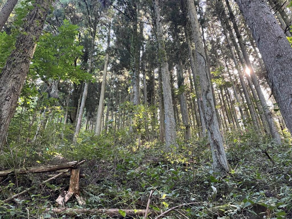
ここからは、道は1本ですので、杉木の間の道をひたすら登るだけです。
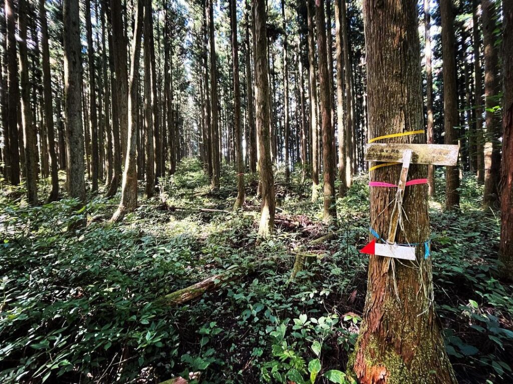
テープと道標が至るところにありますので、基本的に迷うことはありません。
標高差は約450mほど。
前半はなだらかに、後半は傾斜が一気に厳しくなる感じです。
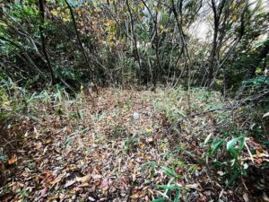
山頂に近づいたころ、道が藪で途切れ、右手の山の中にテープを巻いた箇所がいくつか。
ここから登るのか!と登っていったのですが、これは間違い。
戻って、藪の中に入っていくと、そのまま登山道が続いています。
ありがとう!YAMAP
最後の尾根に到着すると、山頂まできれいな一本道が続いています。
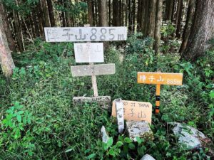
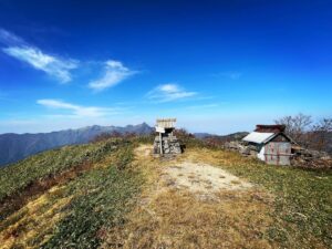
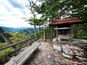
山頂は少し広場になっており、標識と三角点が。
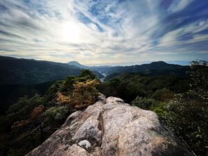
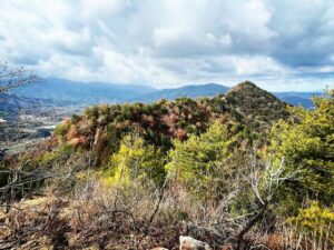
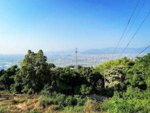
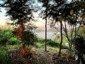
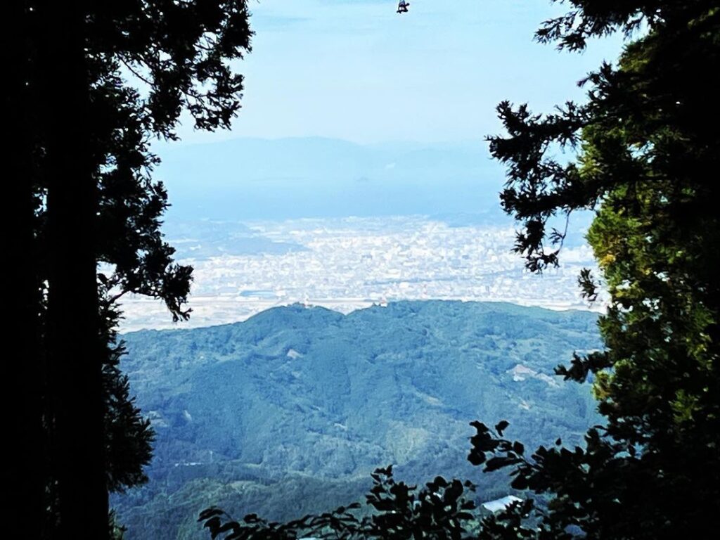
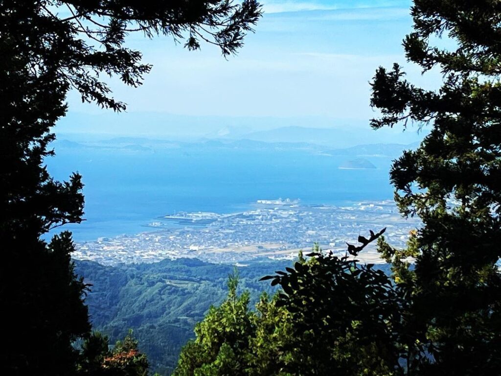
杉の木で、眺望は悪いのですが、ところどころの隙間からきれいな景色を眺めることもできます。
片道1時間程度、この季節は蜘蛛の巣との戦いでした!
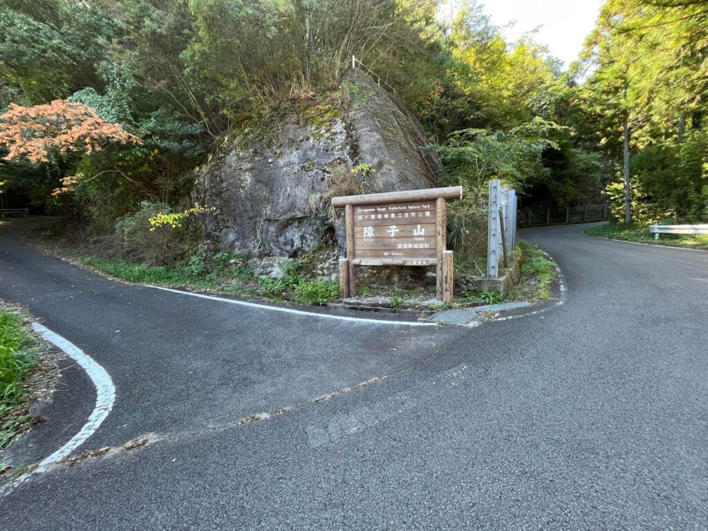
障子山の案内板があるところとは別です(砥部町鵜の崎東尾根ルート)
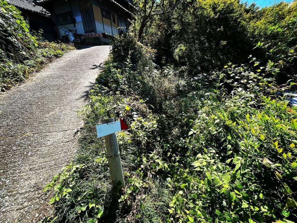
(民家の庭を抜けさせてもらえると、本当に楽に入れるのですけどね・・・)
決して登らずに、藪の中に突入してください、10m程度で道に戻ります
(私は木々の中に登ってしまい大変な目に・・・)
振り返ると東尾根ルートに続きます
#障子山
#しょうじやま
#標高885m
#愛媛の小山登り
#小山登り
#愛媛県
#伊予市
#鵜崎
#砥部町
#鵜の崎
#鵜の崎峠
#伊予八景
#四国百山
#県道53号
#県道53号
#大平砥部線
#YAMAP
Shojiyama is the tallest mountain in the area, visible from both Tobecho and Iyo City.
There are various theories as to the origin of the name, but the most common is that it looks like a shoji (paper sliding door).
This time, we took the Uzaki route in Iyo City instead of the East Ridge route in Unozaki, Tobe Town.
We climbed up from the Tobe side of Prefectural Road 53, Ohira-Tobe Line, to the Unosaki Pass.
From the Teiji-ji road here, you will enter a small road.
After climbing the paved road, you will see a large ginkgo tree, which is the trailhead.
It would be easier if we could pass through the yard of a private house from here, but we will enter from the trail just below.
First, there is a bush path for several dozen meters…this is hard, and it will break your heart.
After passing through the bush path as best we can, we are on the trail.
From this point on, there is only one trail, so you just have to keep climbing along the path between the cedar trees.
There are tapes and signposts everywhere, so basically you will not get lost.
The elevation gain is about 450 meters.
The first half is gentle and the second half is steeper and steeper.
As you approach the summit, the trail is cut off by bushes, and you will see several taped-off sections in the mountains on your right.
We thought, “We are going to climb up from here? I went up, but this was a mistake.
We went back and went into the bushes, and the trail continued on.
Thank you, YAMAP!
When we reached the last ridge, a beautiful straight trail led us to the summit.
The summit is a little square with a sign and a triangular point.
The view is poor due to cedar trees, but you can see beautiful scenery through the gaps in places.
It takes about one hour one way, and during this season, we had to fight with spider webs!
障子山山頂の風景(動画)
鵜の崎峠のMAP
障子山の登山口(鵜崎ルート)
障子山のMAP