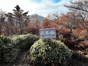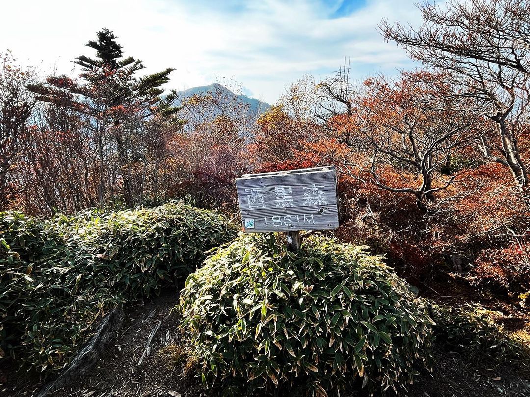
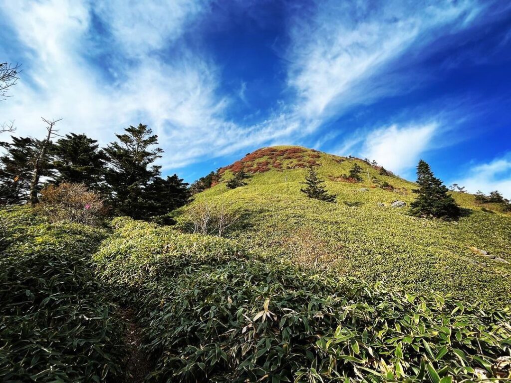
西黒森 石鎚山系の愛媛で6番目に高いお山(愛媛県西条市・高知県吾川郡いの町)標高1861m
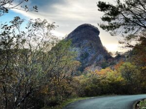
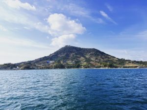
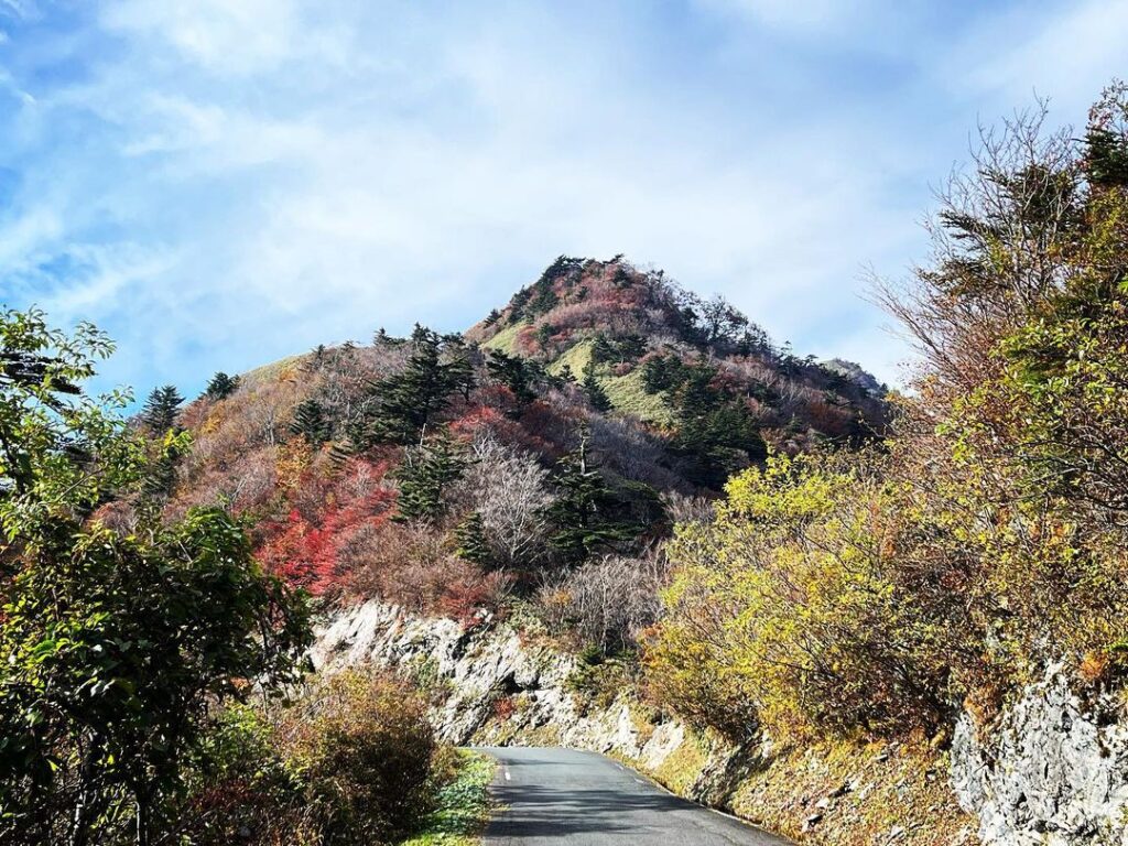
瓶ヶ森の東隣、円錐状の山が西黒森です。
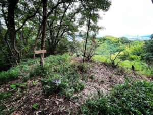
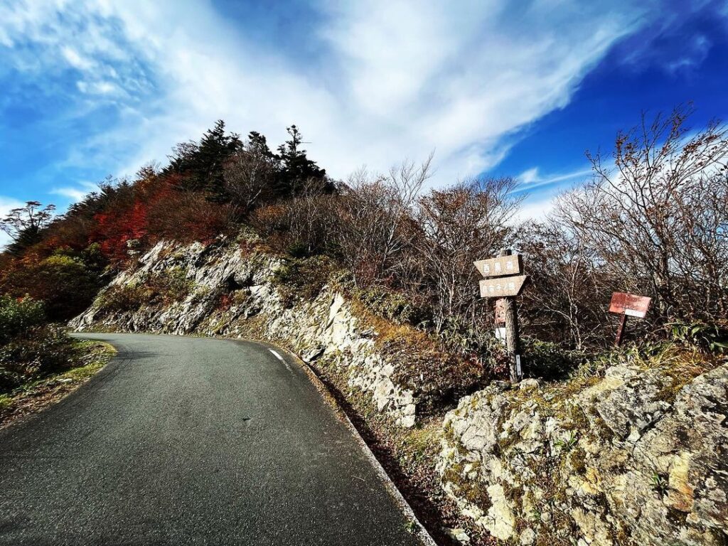
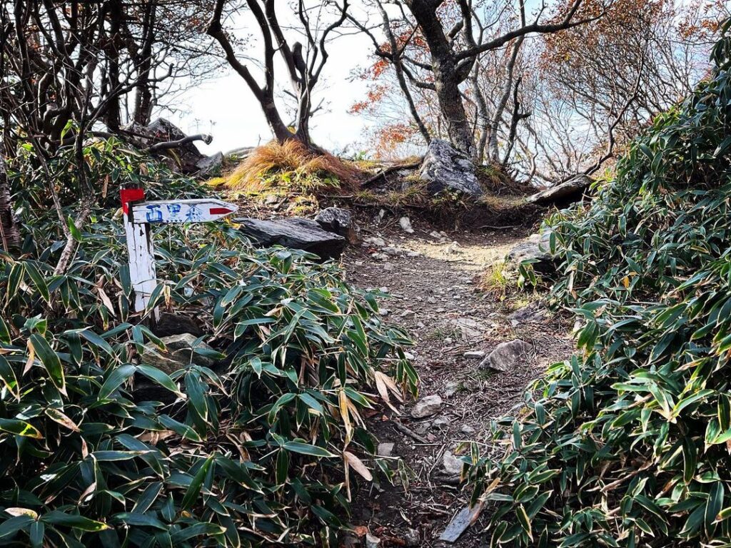
西黒森と自念子ノ頭の間にある神鳴池登山口から西黒森へ登ります。
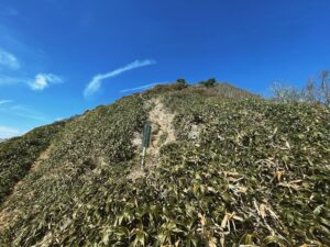
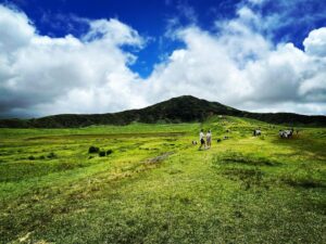
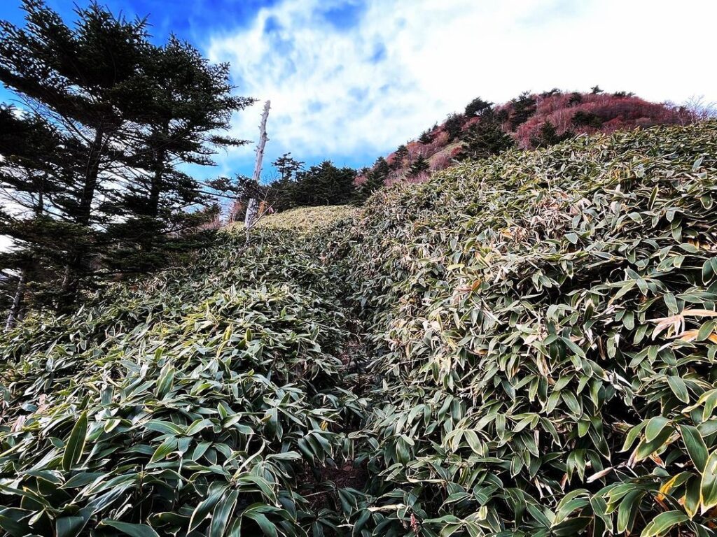
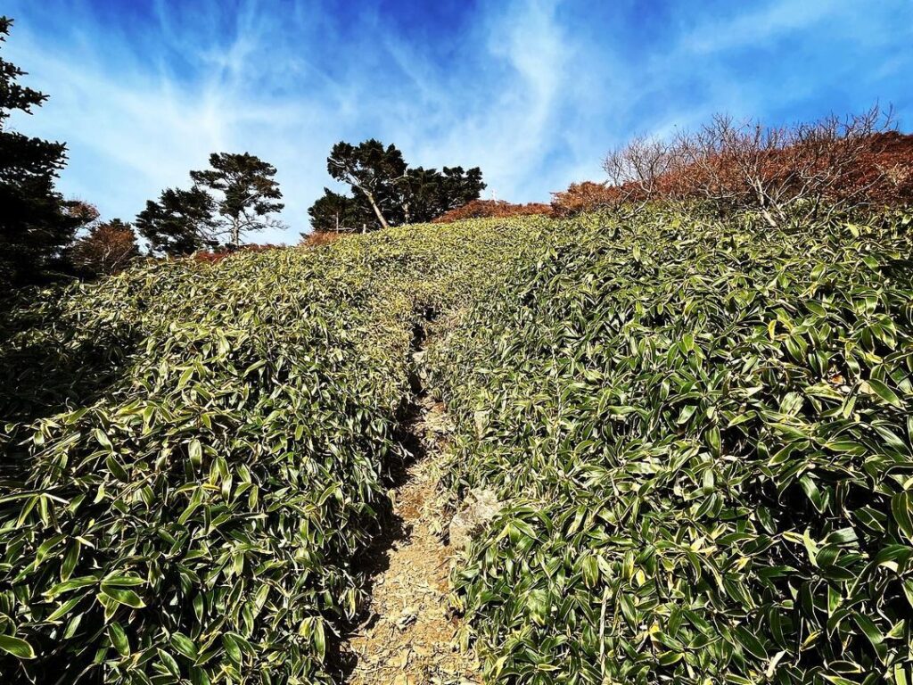
まずは笹原をどんどん登っていきます。
円錐状の山だけに、とにかく登り続けるという感じです。
急な傾斜の岩肌にはロープが張ってあるところもあり、慎重に登っていきます。
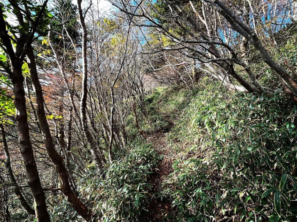
細い道なのですが、笹で道幅が広く見えます。
崖側の笹の下は何もありません。
私も、一度、足を踏み抜いてしまい危なかったのですが、とにかく要注意です。
瓶ヶ森からの登山道との合流地点から、西黒森への急登が始まります。
ロープを垂らしてくれているのですが、補助的に利用できありがたいですね。
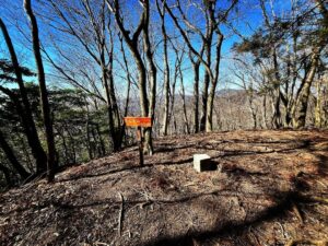
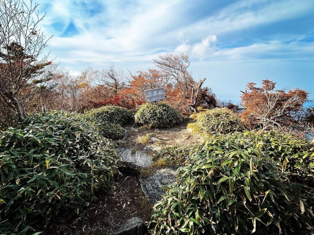
登りきると山頂です。
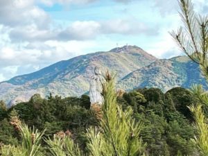
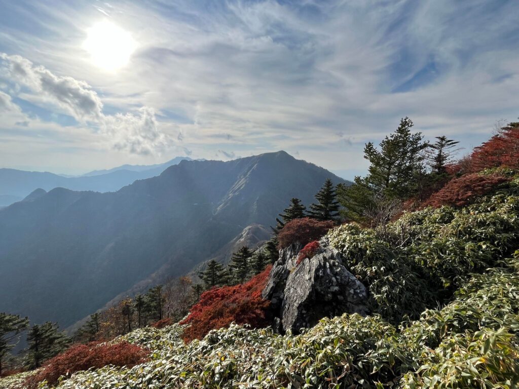
山頂は低木があるため眺望はよくないのですが、西条市方面を眺めることができます。
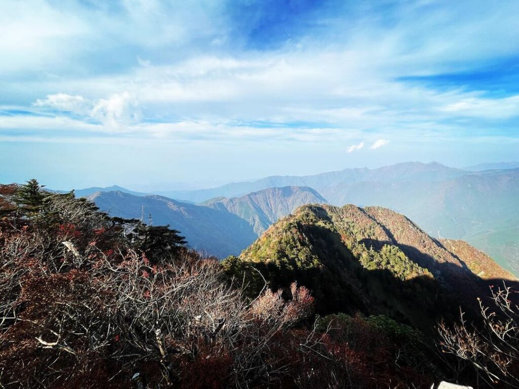
山頂から少し下のあたりでは、瓶ヶ森側の眺望を楽しめます。
#西黒森
#にしくろもり
#標高1861m
#神鳴池
#かんならし
#愛媛の小山登り
#小山登り
#愛媛県
#西条市
#高知県
#吾川郡
#いの町
#UFOライン
Kamegamori is a cone-shaped mountain to the right of Nishikuromori.
We will climb Nishikuromori from the Kannarashi-ike trailhead located between Nishikuromori and Jinenko-no-tou.
First, we will climb up the bamboo grassland.
As the mountain is conical in shape, you will just have to keep climbing.
There are ropes on the steep rock face, so we climbed carefully.
The path is narrow, but the bamboos make it look wide.
There is nothing under the bamboos on the cliff side.
I stepped over once, and it was a close call.
From the junction with the trail from Bottle Forest, a steep climb up to Nishikuromori begins.
A rope is hanging from the top of the mountain, and I was grateful to be able to use it as an aid.
After the climb, you will reach the summit.
The view from the summit is not good due to shrubs, but you can see the direction of Saijo City.
A little lower down from the summit, you can enjoy the view of the Kegamori side.