伊之子山 水ヶ峠から片道30分のお気軽コース(愛媛県松山市・愛媛県今治市)標高872.4m
本来なら、水ヶ峠から北三方ヶ森を目指したいところですが、今日は時間の関係で伊之子山に向かいます。
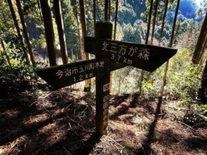
北三方ヶ森への案内は書かれていますが、伊之子山については何の表示もありません。
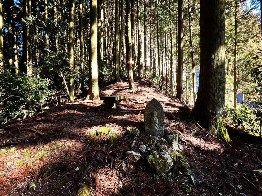
水ヶ峠のお地蔵さんにお参りをして、その後ろの山を登っていきます。
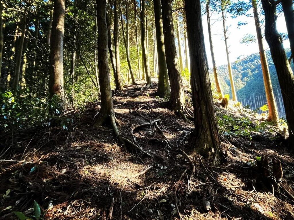
まずは、かなりの急登からスタートです。
急登なのですが、踏み跡はしっかりしており、比較的登りやすいです。
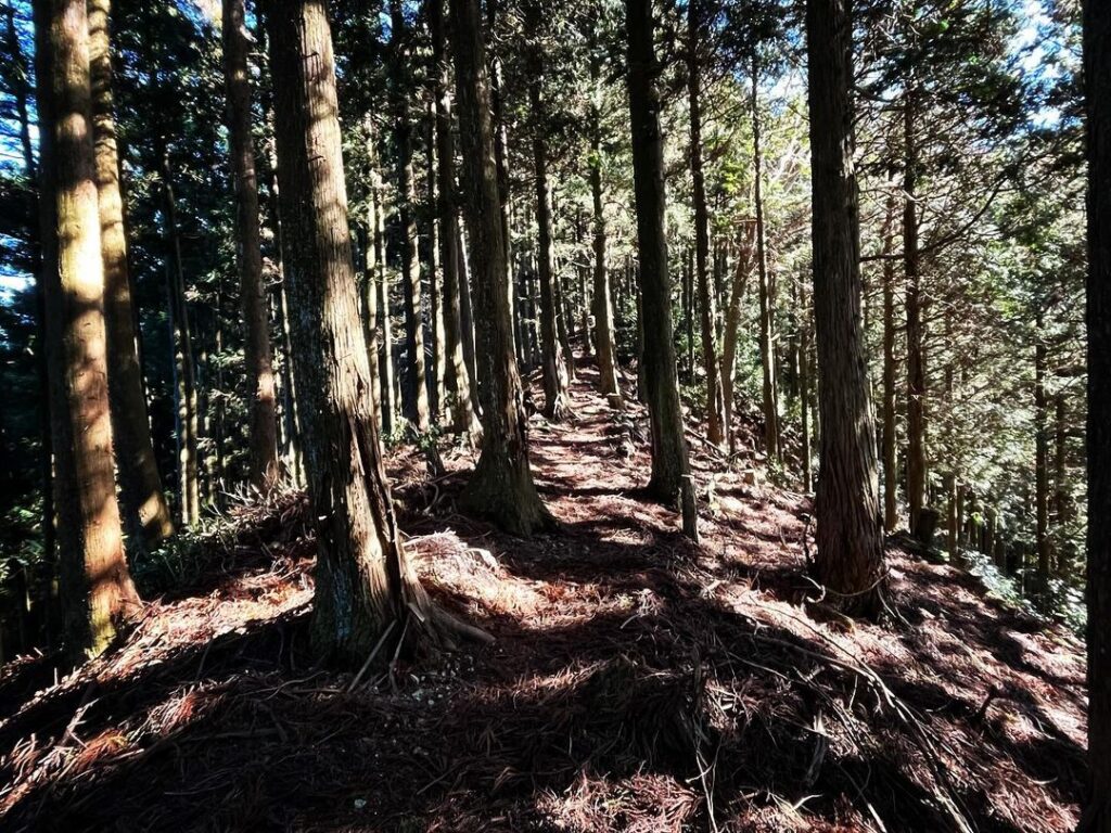
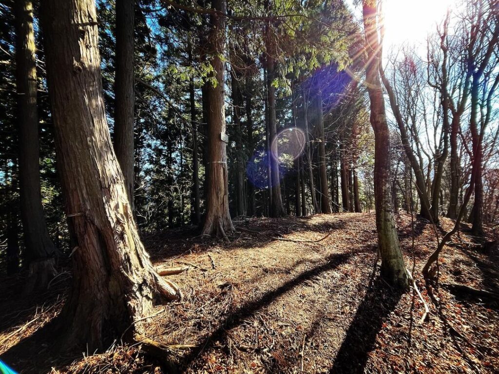
しばらく登ると尾根に到着。
尾根伝いに歩いていきます。
歩いてきた林道を回り込むような感じで、尾根道が続いていきます。
道はわかりやすく、高低差も少な目です。
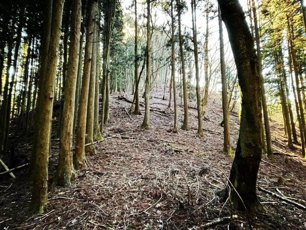
小ピークを2つほど超えると、距離は短いですが最後の急登が待っています。
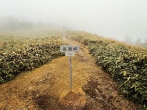
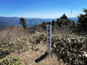
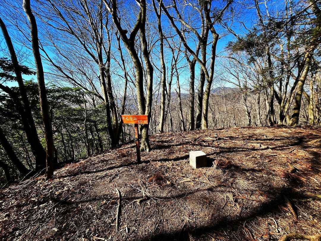
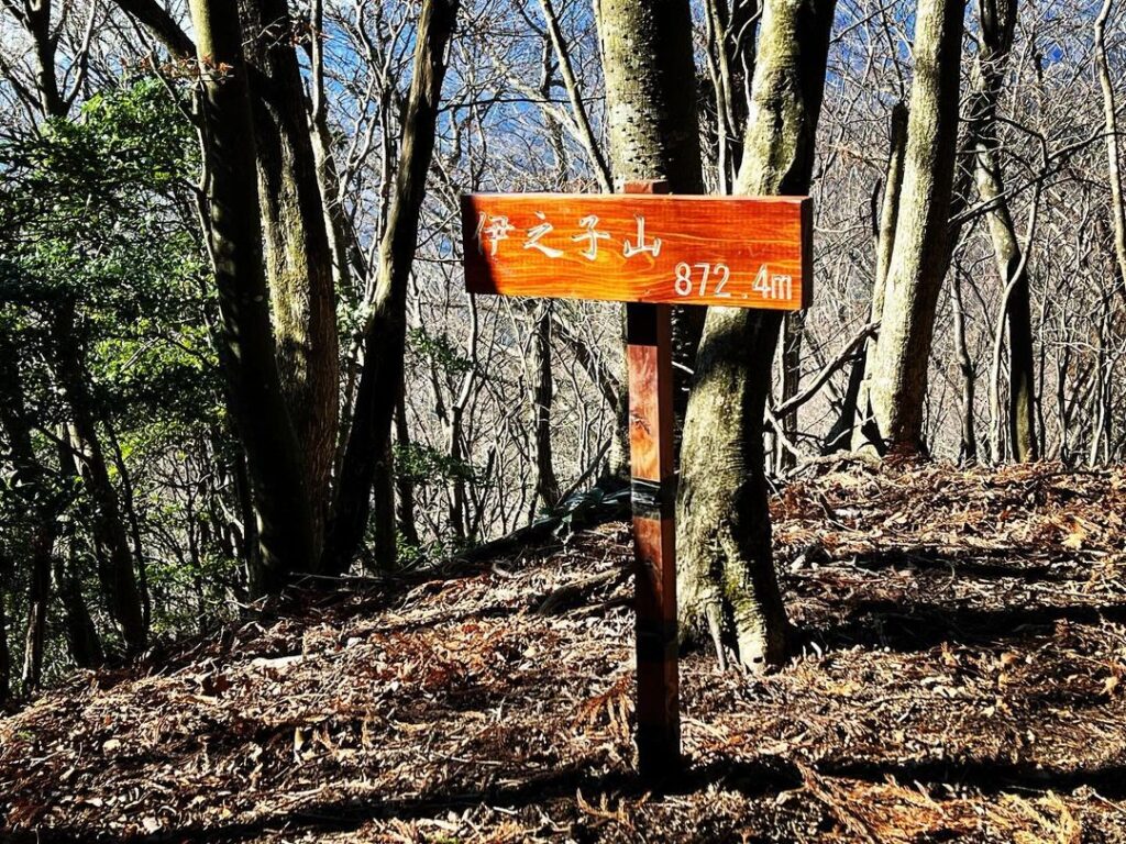
登っていくと、伊之子山872.4mの標識があります。
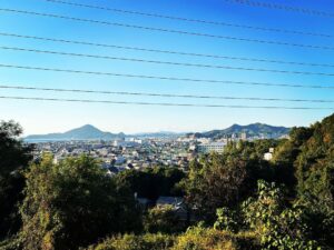
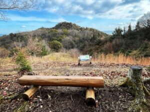
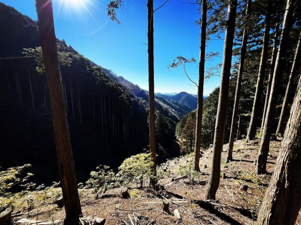
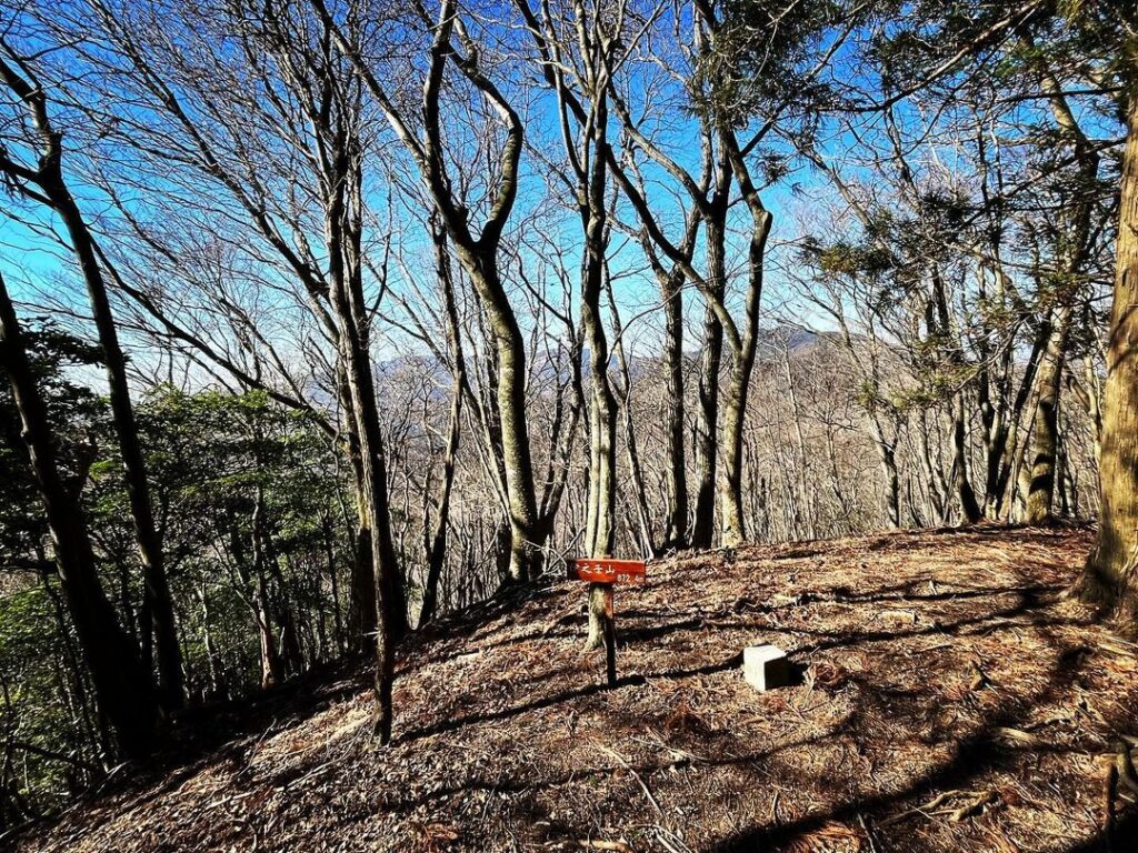
木々で囲まれていますが、冬で葉が落ちているため、少し眺望を楽しめます。
北三方ヶ森や高縄山を眺めることができます。
実は最高地点はここではありません。
もう少し進むと、最高地点があります。
こちらも木に伊之子山の標識が。
ネジ穴が壊れて、ひっくり返っておりました。
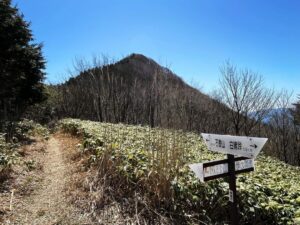
さらに進むと、白潰方面に続きます。
愛媛大学の演習林もあるようです。
裏手の山に登っていきます
木々の隙間から遠方には北三方ヶ森や高縄山を眺められます
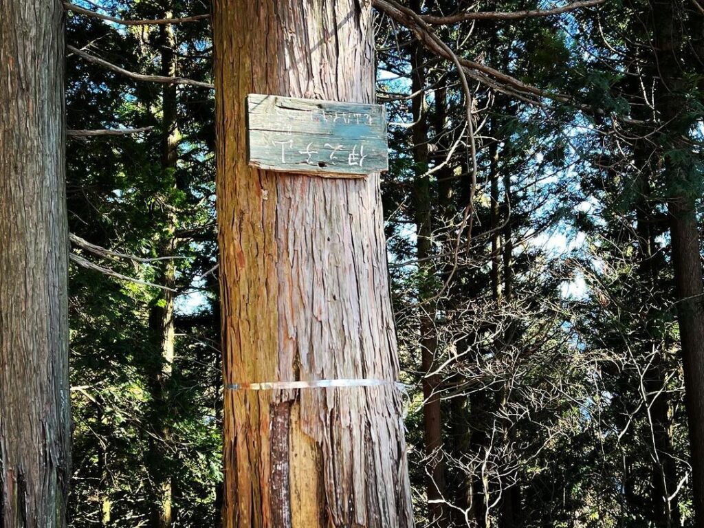
枝に結んでいた紐が切れたらしく、標識看板がひっくり返っていました
YAMAPによると更に進めば、左谷の森、魚谷森、南三方ヶ森へと行けそうです
更に先には明神ヶ森へと続きます
#伊之子山
#いのこやま
#標高872m
#愛媛の小山登り
#小山登り
#愛媛県
#愛媛県
#松山市
#米野
#今治市
#龍岡上
#奥道後玉川県立自然公園
#水ヶ峠
#三角点
#北三方ヶ森
Normally, we would like to go to Kitasanpougamori from Mizugatoge, but due to time constraints today, we are heading for Mount Inokoyama.
There is a sign for Kitasanpougamori, but there is no sign for Mount Inoko.
We will pay our respects to the Jizo-san at Mizugatoge and climb up the mountain behind it.
We start with a very steep climb.
Although it is a steep climb, the steps are well marked and relatively easy to climb.
After climbing for a while, you will reach a ridge.
Walk along the ridge.
The ridge trail continues as if it goes around the forest road you have been walking on.
The path is easy to follow and there is little difference in elevation.
After two small peaks, a short but steep final climb awaits.
As you climb, you will see a sign that reads Inokoyama 872.4m.
It is surrounded by trees, but since it is winter and the leaves have fallen, you can enjoy a little view.
You can see Kitasanpougamori and Mt. Takanawa.
Actually, the highest point is not here.
A little further on, you will find the highest point.
Here, too, there is an Inokoyama sign on a tree.
The screw hole was broken and turned over.
Further on, the trail continues in the direction of Shirakasu.
There seems to be a training forest of Ehime University.
水ヶ峠のMAP
伊之子山のMAP