びんぼう山・福寿山 登ってくれてありがとう!素晴らしい眺望(広島県三原市)標高259.4m
白滝山を下りてびんぼう山へ向かいます。
広島県竹原市のびんぼう山の名前の由来が、いくら調べてもわかりません。
google検索のAIではいくつか出てくるのですが、どうも愛知県蒲郡市のびんぼう山の説明であったり、根拠のない説明であったり。
AI回答も、まだまだ信用できないレベルですね(汗)
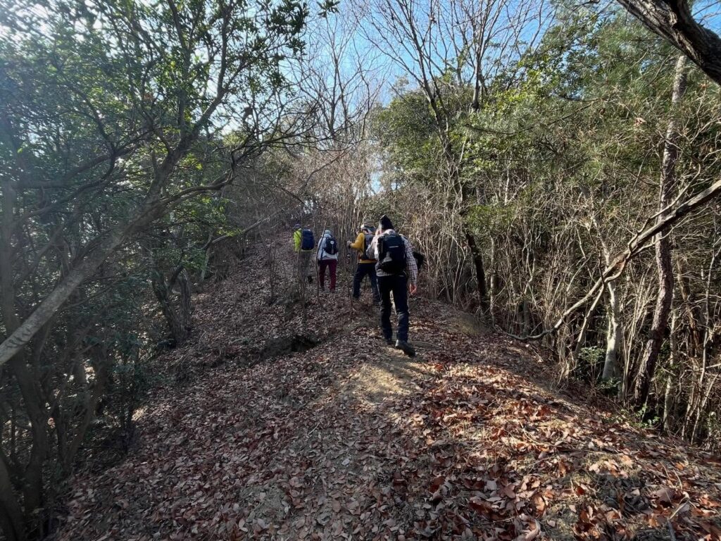
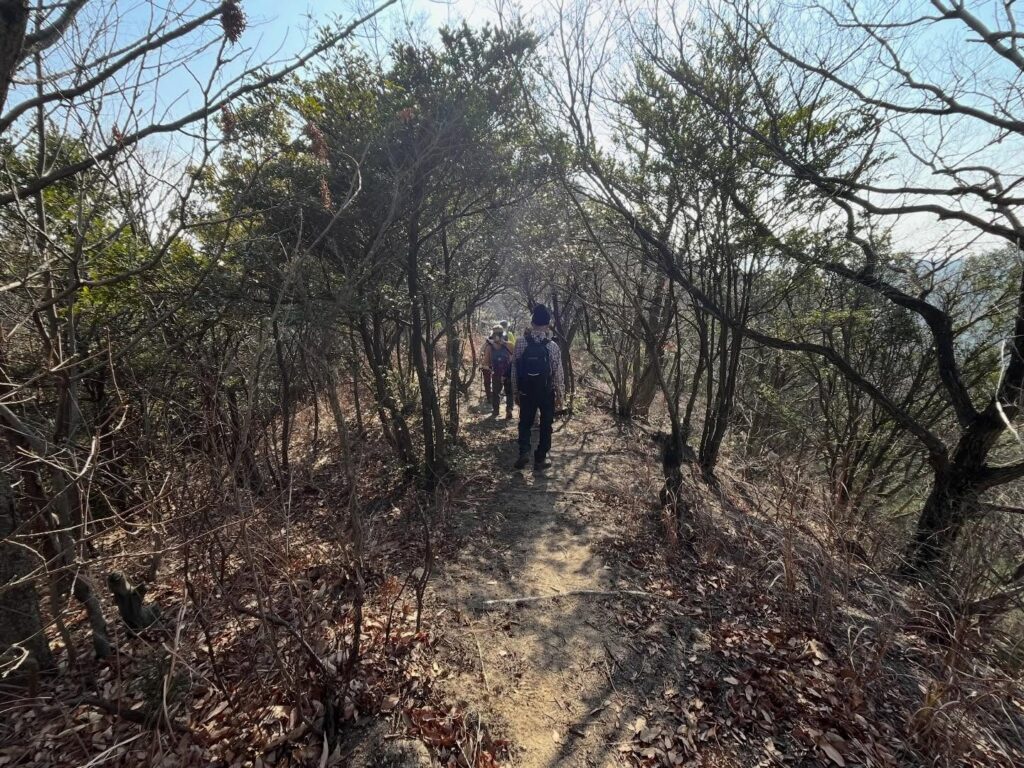
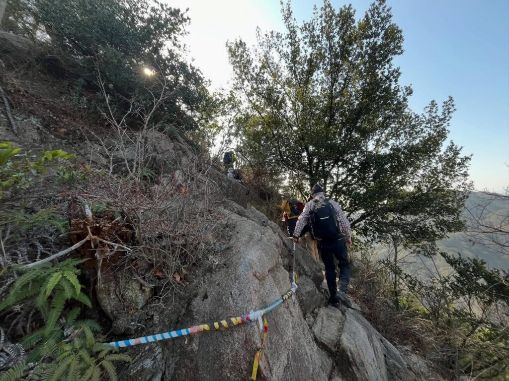
本日、もっとも山道らしきルートを通って進みます。
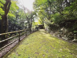
黒滝山も白滝山も、かなり整備された道でした。
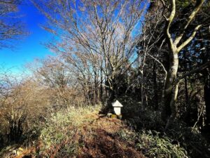
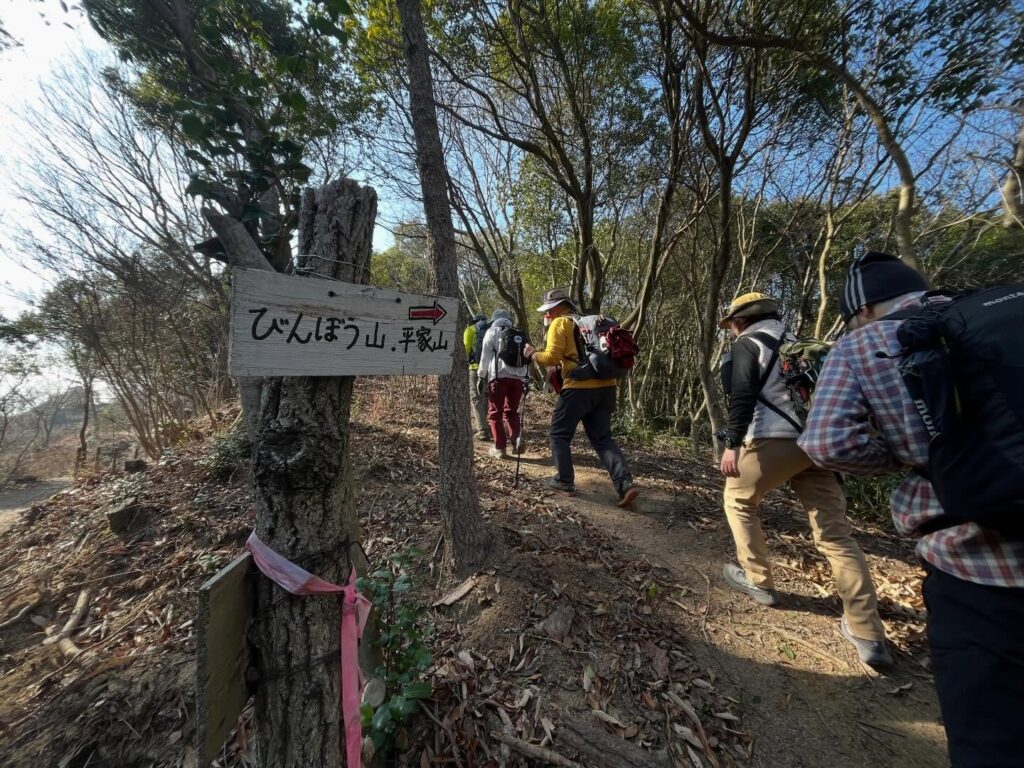
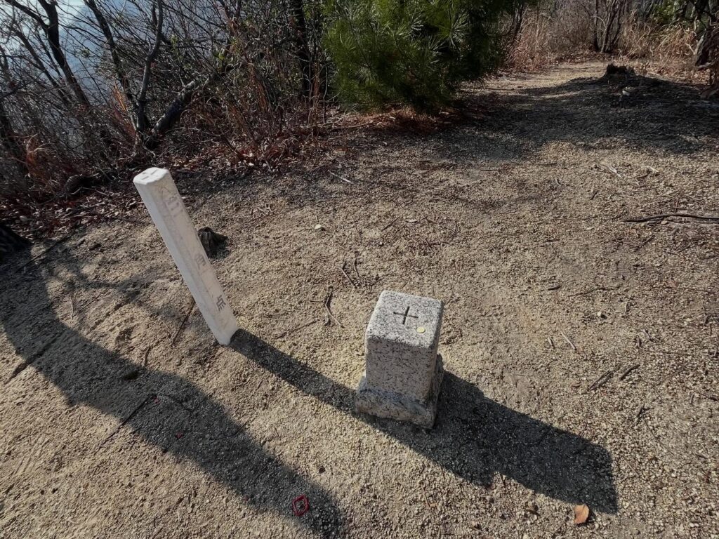
ところどころに、びんぼう山の標識があり、道に迷うことはなさそうです。
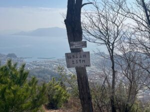
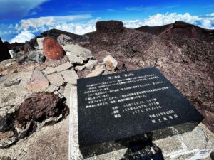
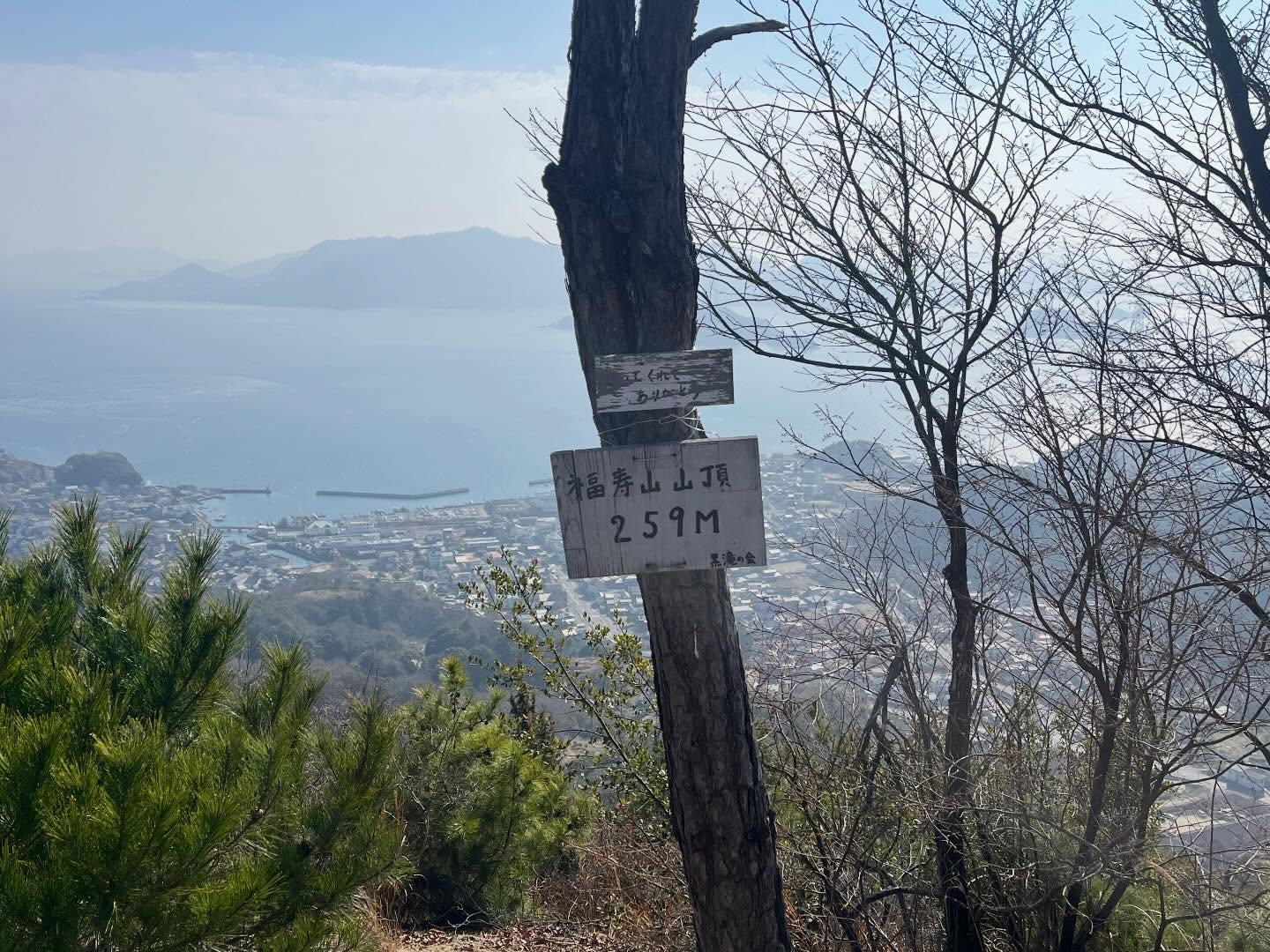
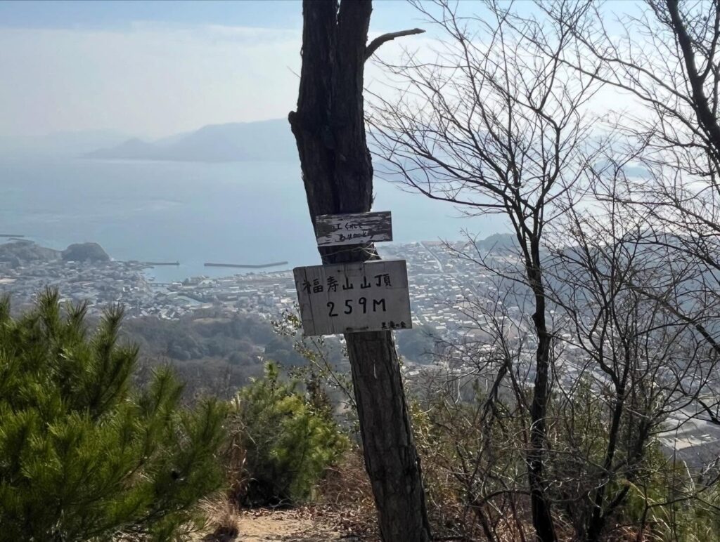
最後は登っていって、びんぼう山山頂に到着です。
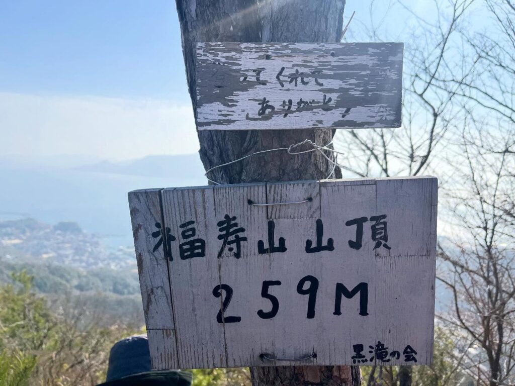
山頂の標識に書かれてある山名は「福寿山」
貧乏なのか、福があるのかわかりません!
AI回答では、びんぼう神と福の神は、いつも一緒に行動しているのだとか。
MHC会長が
「びんぼう山に登ったので、貧乏を克服して、福があるのよ!」
と言っていたのですが、登った身としては、これが一番納得しやすい理由かも。
ということで、私たちにとっては福寿山です!
また、山頂標識に書かれてある「登ってくれてありがとう!」という言葉にも嬉しくなりました。
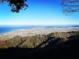
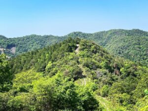
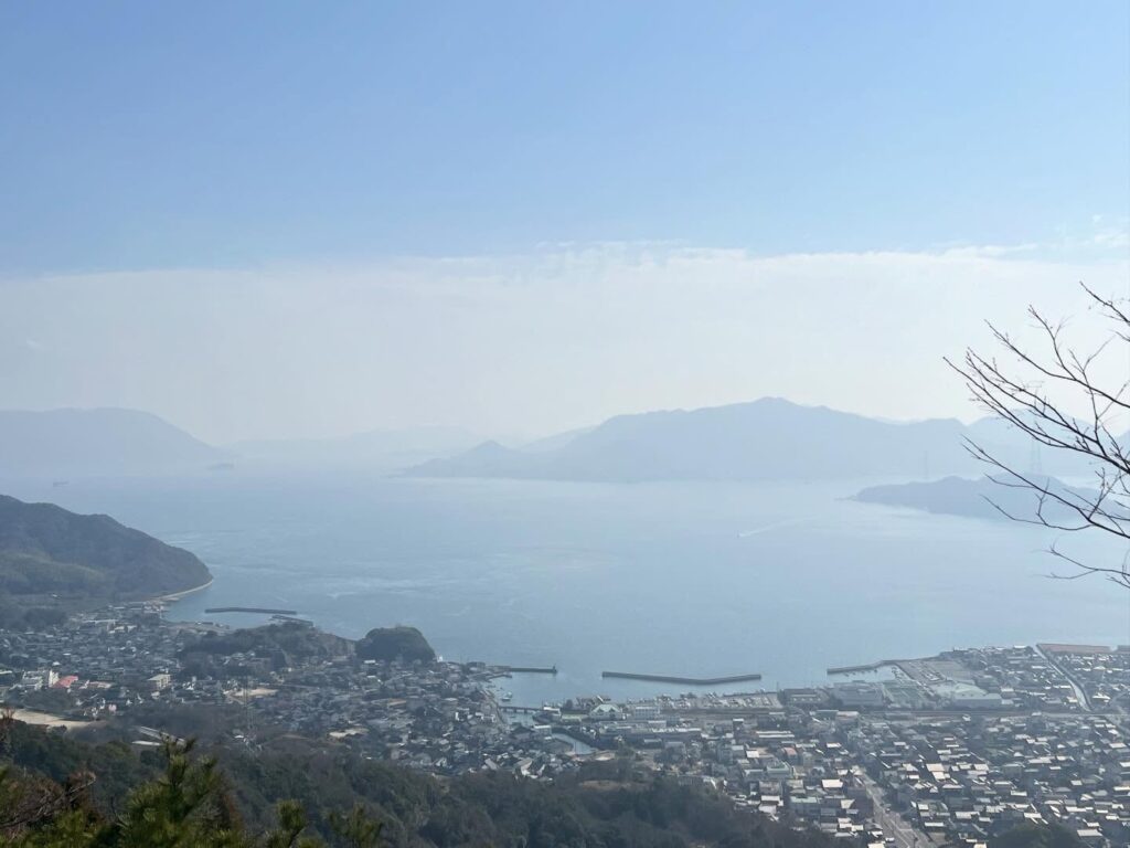
福寿山山頂からの眺望も素晴らしく、黒滝山も白滝山と共に、眺望を楽しめた1日でした。

ひらがな「びんぼう山」


平家の落人はあちこちに隠遁されていたのですね
よくわかりませんでした
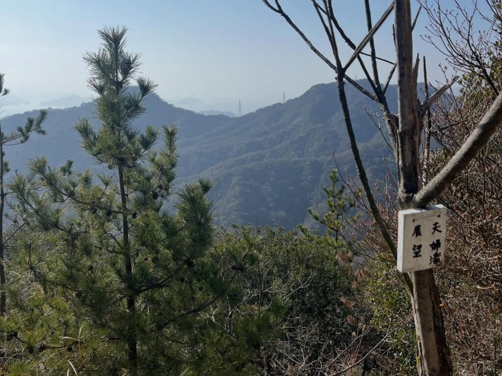
(広島市安芸津町の夫婦滝は6m程度なので見えるはずもなく…)

この辺りはもともど段々畑だったようです
黒滝の会さんの素敵な標識
見る角度が違うと雰囲気が変わりますね
#貧乏山
#びんぼう山
#びんぼうやま
#福寿山
#ふくじゅやま
標高259m
愛媛の小山登り
小山登り
広島県
三原市
Descending Mt. Shirataki, we head toward Mt. Binbō.
No matter how much I research it, I can’t find the origin of the name “Mt. Binbō” in Takehara City, Hiroshima Prefecture.
Google search AI does bring up a few results, but they seem to be explanations for Mt. Binbō in Gamagōri City, Aichi Prefecture, or just baseless theories.
AI answers are still pretty unreliable, huh? (sweat)
Today, we’re taking the route that looks most like a mountain trail.
Both Kurotaki Mountain and Shirataki Mountain had quite well-maintained paths.
There are signs for Binbō Mountain here and there, so getting lost seems unlikely.
Finally, we climb up and arrive at the summit of Binbō Mountain.
The mountain name written on the summit sign is “Fukujū Mountain” (Mount Happiness and Longevity).
I can’t tell if it’s about poverty or fortune!
AI answers say the God of Poverty and the God of Fortune always travel together.
The MHC president said,
“Since we climbed Binbō Mountain, we’ve overcome poverty and gained fortune!”
Having climbed it myself, that might be the most convincing reason.
So, for us, it’s Fukujū Mountain!
Also, the words “Thank you for climbing!” written on the summit sign made me happy.
The view from Fukujusan’s summit was splendid too. It was a day where we enjoyed the vistas of both Kurotaki Mountain and Shirataki Mountain.
白滝山のMAP
びんぼう山・福寿山のMAP
活動データ(YAMAP)
活動データはYAMAPからご覧ください↓