目次
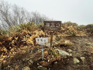
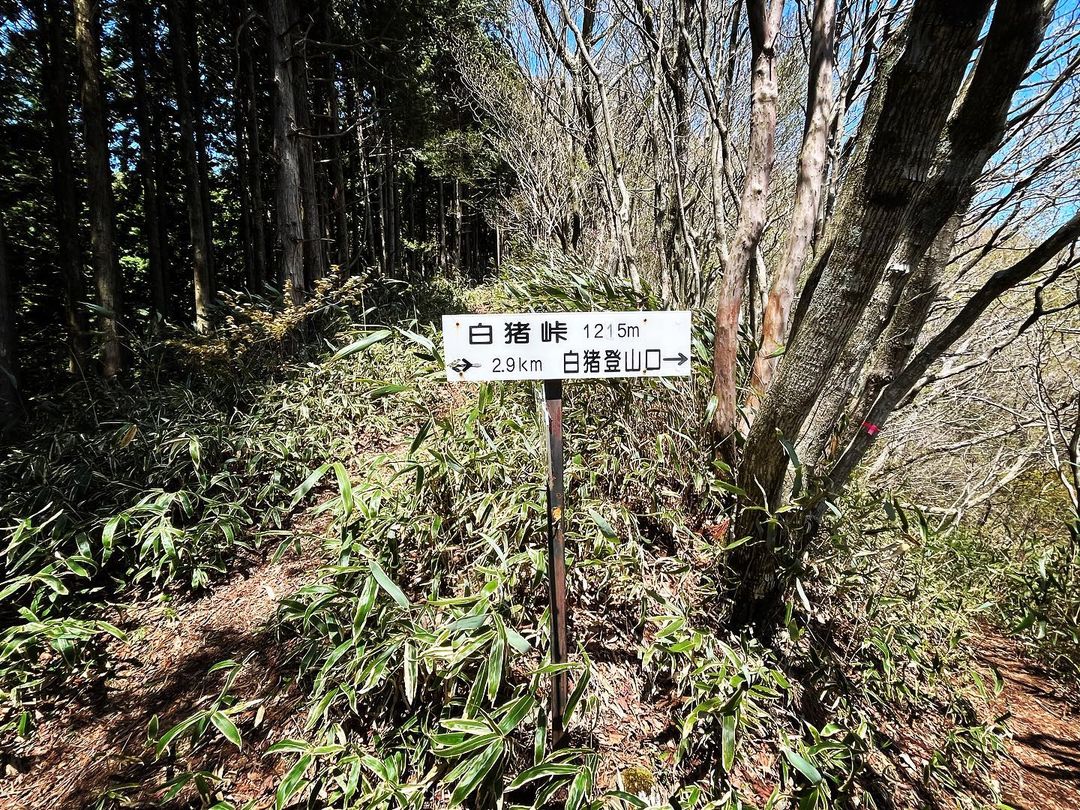
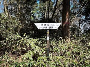
白猪峠 東温アルプス縦走 根無山→白猪峠(愛媛県東温市)
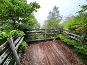
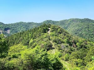
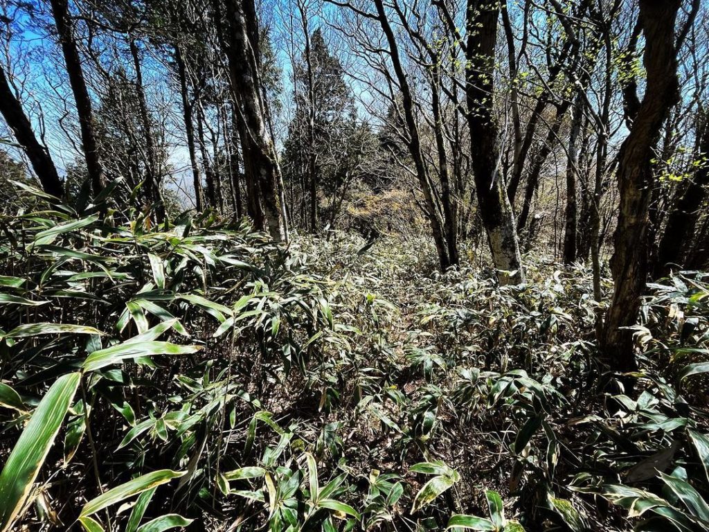
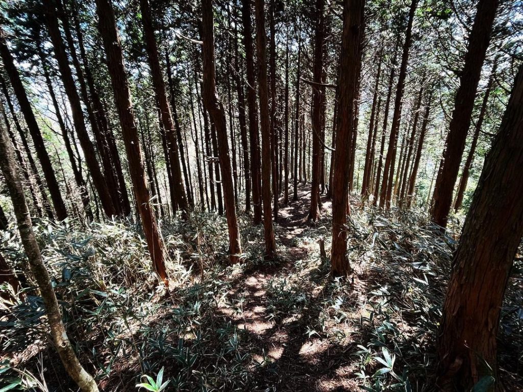
根無山から白猪峠までは、まずは急な下りから。
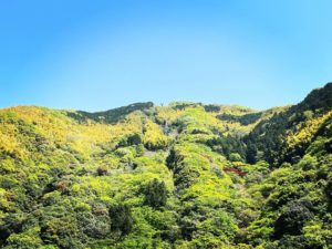
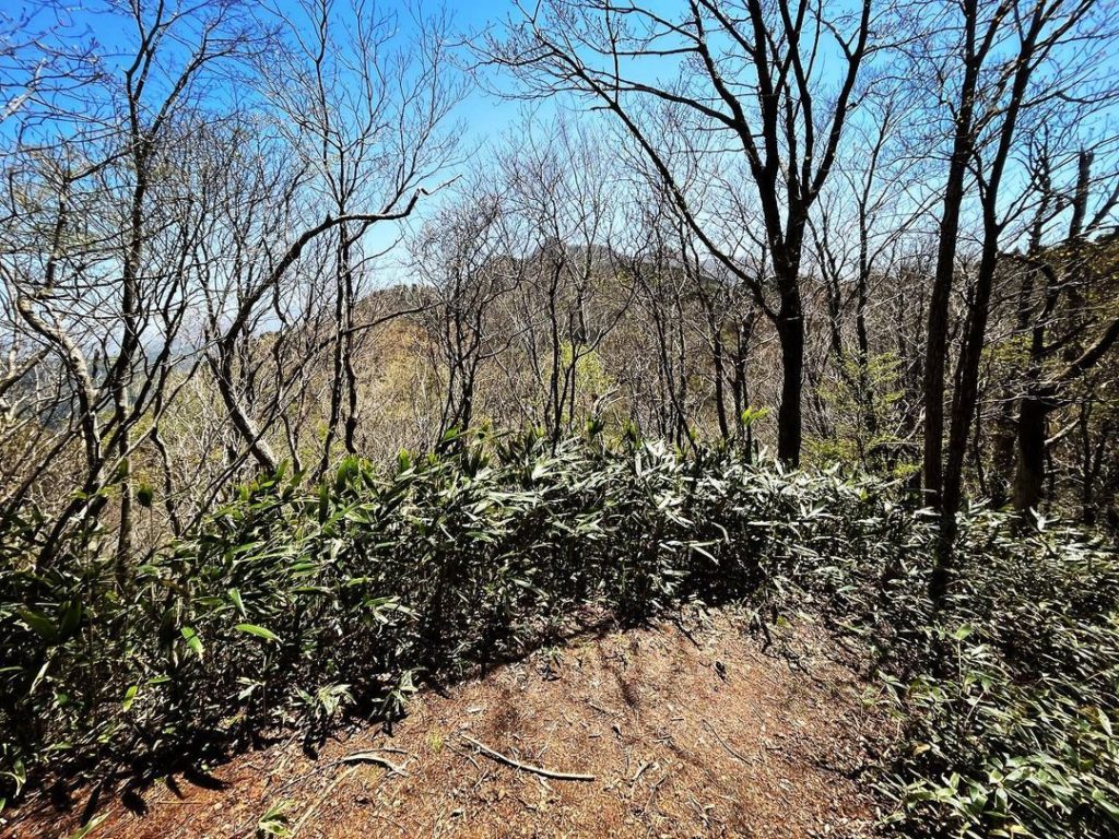
杉と笹の中を進んでいきます。
距離は700m程しかありませんので、すぐに到着します。
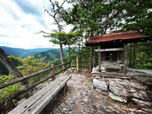
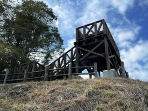
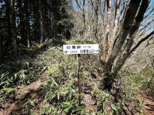
ここから白猪登山口に降りれるそうなのですが、登山口は白猪の滝の上の方にあるそうです。
どうやって行くのでしょう?
かなり難易度が高いコースのようです。
さて、白猪山に行ってみましょう。
#白猪峠
#しらいとうげ
#標高1215m
#根無山
#愛媛の小山登り
#小山登り
#愛媛県
#東温市
#東温アルプス
#皿ヶ峰連峰
#縦走
From Mt. Nenashi to Shirai pass, we start with a steep descent.
We will continue through cedars and bamboo grass.
The distance is only about 700 meters, so you will reach it soon.
We are told that we can descend to the Shiraino trailhead from here, but the trailhead is located above the Shiraino Waterfall.
How will we get there?
It seems to be quite a challenging course.
Now, let’s go to the Mt. Shirai.
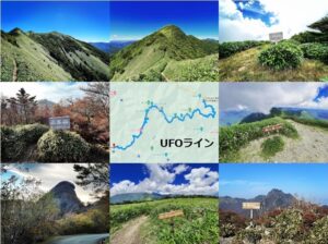
白猪峠のMAP
あわせて読みたい

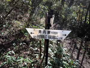
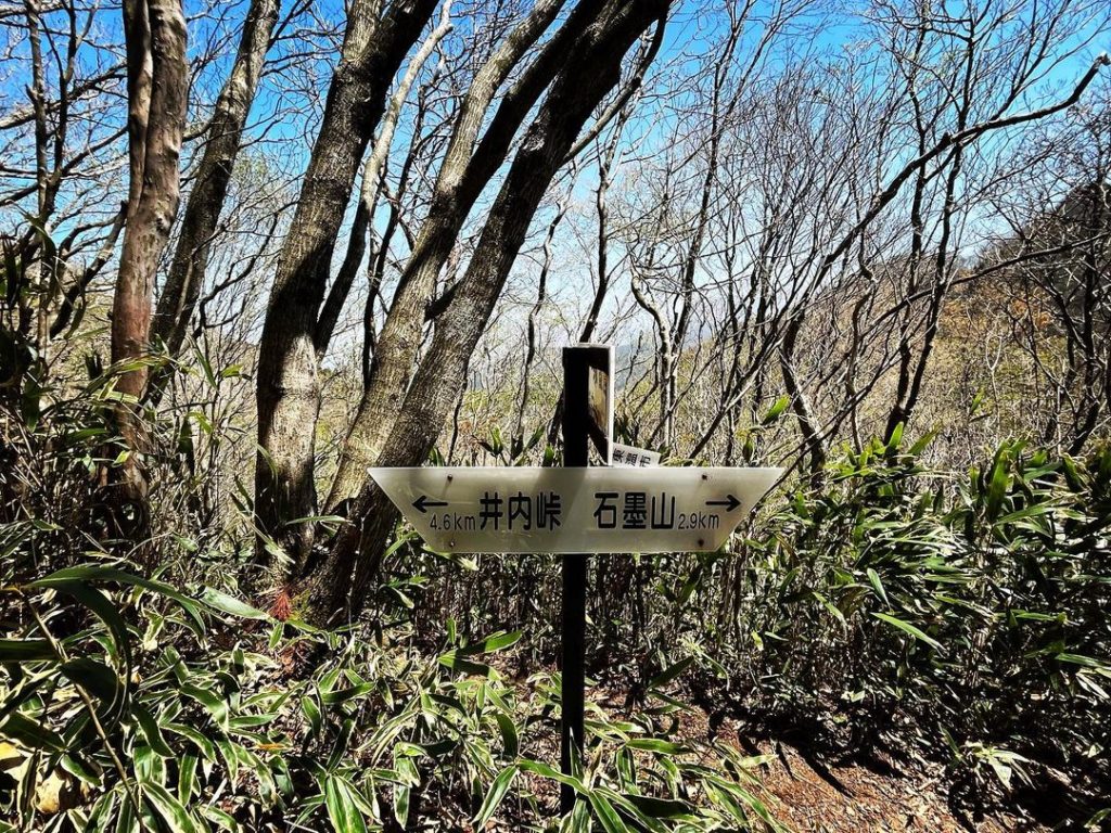
井内峠 東温アルプス縦走(愛媛県東温市)標高1088m
【井内峠 東温アルプス縦走(愛媛県東温市)】 井内峠隧道を抜けた南側に登山口(直瀬方面登山口)があり、ここから井内峠に登ります。ちなみに、井内峠隧道の北側にも…
あわせて読みたい
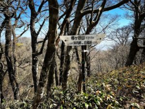
梅ヶ谷山 東温アルプス縦走 井内峠→梅ヶ谷山(愛媛県東温市)標高1315.76m
【梅ヶ谷山 東温アルプス縦走 井内峠→梅ヶ谷山(愛媛県東温市)標高1315.76m】 さて、縦走スタート!今日は晴天ですが、強風のため、吹き飛ばされないように気をつけ…
あわせて読みたい
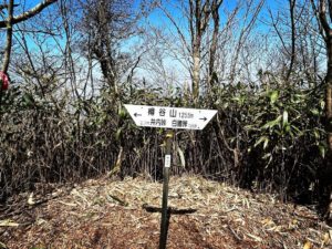
樽谷山 東温アルプス縦走 梅ヶ谷山→樽谷山(愛媛県東温市)標高1255.07m
【樽谷山 東温アルプス縦走 梅ヶ谷山→樽谷山(愛媛県東温市)標高1255.07m】 梅ヶ谷山から樽谷山への縦走。途中で展望が広がっているところが何ヵ所かあって嬉しいで…
あわせて読みたい
根無山 東温アルプス縦走 樽谷山→根無山(愛媛県東温市)標高1241m
【根無山 東温アルプス縦走 樽谷山→根無山(愛媛県東温市)標高1241m】 樽谷山から先は、笹丈が高くなり、道にせり出してきます。樽谷山から根無山までは20分程度。軽…
あわせて読みたい
白猪峠 東温アルプス縦走 根無山→白猪峠(愛媛県東温市)標高1215m
【白猪峠 東温アルプス縦走 根無山→白猪峠(愛媛県東温市)】 根無山から白猪峠までは、まずは急な下りから。杉と笹の中を進んでいきます。距離は700m程しかありませ…
あわせて読みたい
白猪山 東温アルプス縦走 白猪峠→白猪山(愛媛県東温市)標高1201.08m
【白猪山 東温アルプス縦走 白猪峠→白猪山(愛媛県東温市)標高1201.08m】 白猪山 東温アルプス縦走 白猪峠→白猪山(愛媛県東温市) 白猪峠から白猪山山頂までは、…
あわせて読みたい
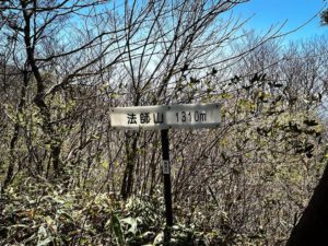
法師山 東温アルプス縦走 白猪山→法師山(愛媛県東温市)標高1310m
【法師山 東温アルプス縦走 白猪山→法師山(愛媛県東温市)標高1310m】 白猪山から法師山に。法師山には、ロープを張ってくれているほど急な坂道。葉っぱが多く、足が…