白猪山 東温アルプス縦走 白猪峠→白猪山(愛媛県東温市)標高1201.08m
白猪山 東温アルプス縦走 白猪峠→白猪山(愛媛県東温市)
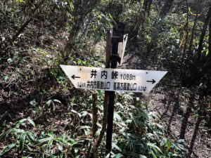
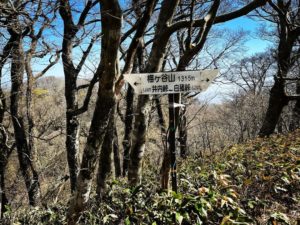
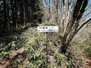
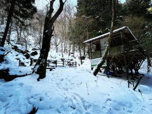
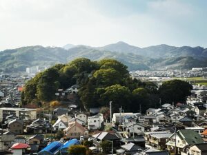
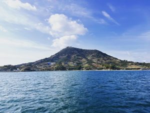
白猪峠から白猪山山頂までは、近いようで案外遠いです。
笹をかきわけながら歩いていきます。
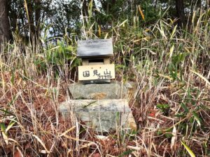
しばらく歩いて、ふとYAMAPを見ると、あれ?山頂を過ぎています。
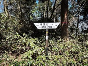
少し戻りますが、山頂案内はどこにもありません。
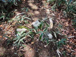
実は白猪山は三角点のみ。
地面ギリギリの高さにありました。
これは意識していないとわからない(汗)
山頂を過ぎて歩いていた時、前からタヌキが歩いてきました。
登山道は、獣道でもあったわけですね。
私はよそ者ですので、避けて道を譲らせていただきました。
かわいさに見とれて、写真を撮り忘れましたね。
おかげで、YAMAPで山頂確認ができ、無事に戻ることができたのでした。


#白猪山
#しらいやま
#標高1201m
#白猪峠
#愛媛の小山登り
#小山登り
#愛媛県
#東温市
#東温アルプス
#皿ヶ峰連峰
#縦走
#タヌキ
#YAMAP
From the Shiraino Pass to the summit of Mt.Shirai.
We walked through the bamboo grass.
After walking for a while, I looked at the YAMAP map. We had passed the summit.
We went back a little, but the summit sign was nowhere to be found.
In fact, there is only a triangular point on Mt.Shirai.
It was just barely above the ground.
You have to be aware of this.
As we were walking past the summit, a raccoon dog walked in front of us.
So the trail was also an animal trail.
I was a stranger, so I avoided it and gave way.
I was so caught up in the cuteness that I forgot to take a picture.
Thanks to this, I was able to confirm the summit with YAMAP and return safely.
白猪山のMAP