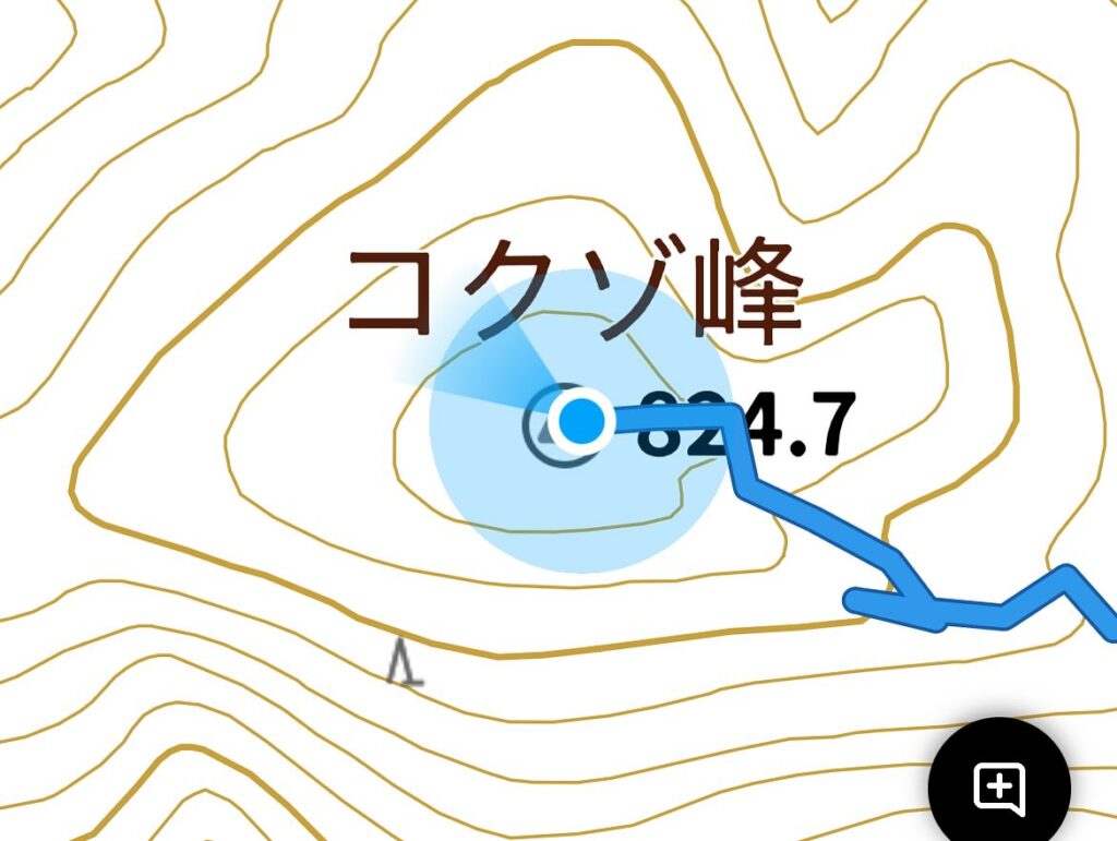
コクゾ峰 虚空蔵菩薩が祀られていたというありがたいお山(愛媛県砥部町)標高824.7m
総津権現山の奥にあるコクゾ峰。
YAMAPのマップを見ていると、山頂近くまで道が通っています。
ずっと気になっていたのですよね。
半日時間が空いたので、エイやっ!と行ってきました。
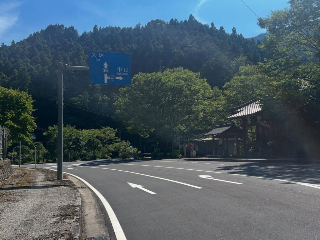
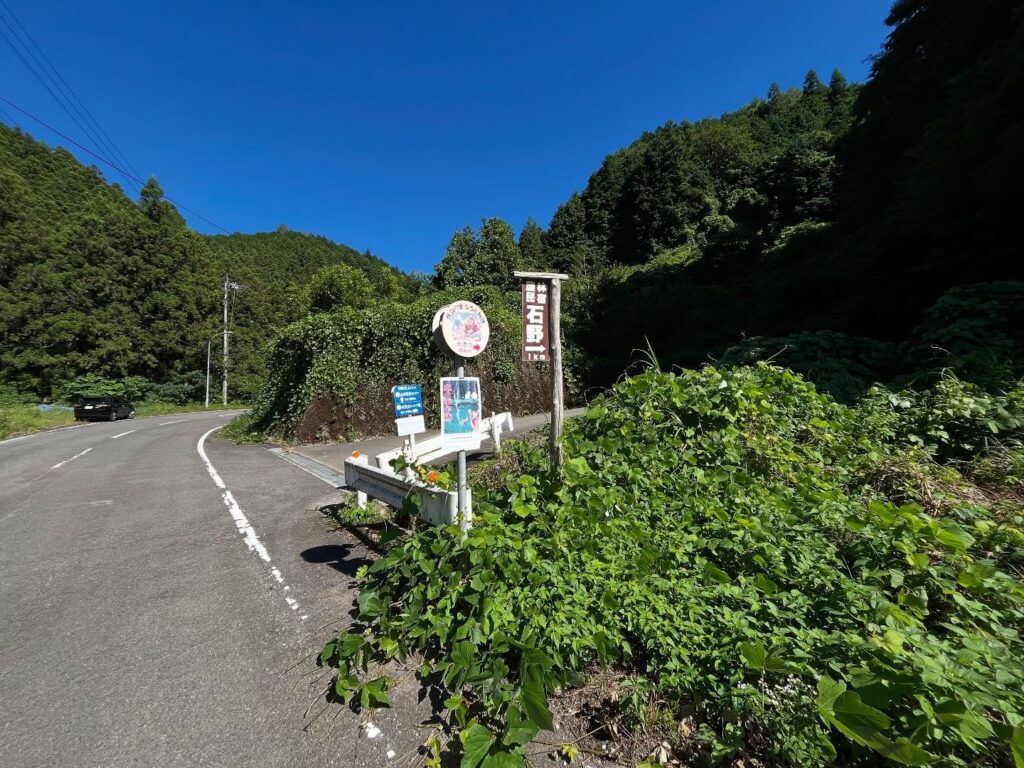
旧広田村の街の横を通り、国道379号線から県道42号線に入ります。
長曽池や農林民宿石野の看板がある分岐が入り口です。
立派な道ですが、離合はかなり厳しそうなので、軽自動車の方は自己責任で。
私はいつもながらにスクーターで登っていきます。
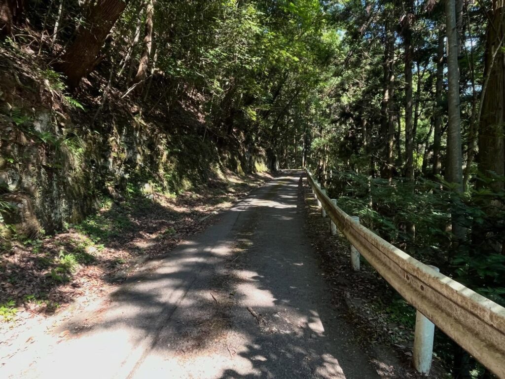
民宿石野の分岐点はまっすぐ進みます。
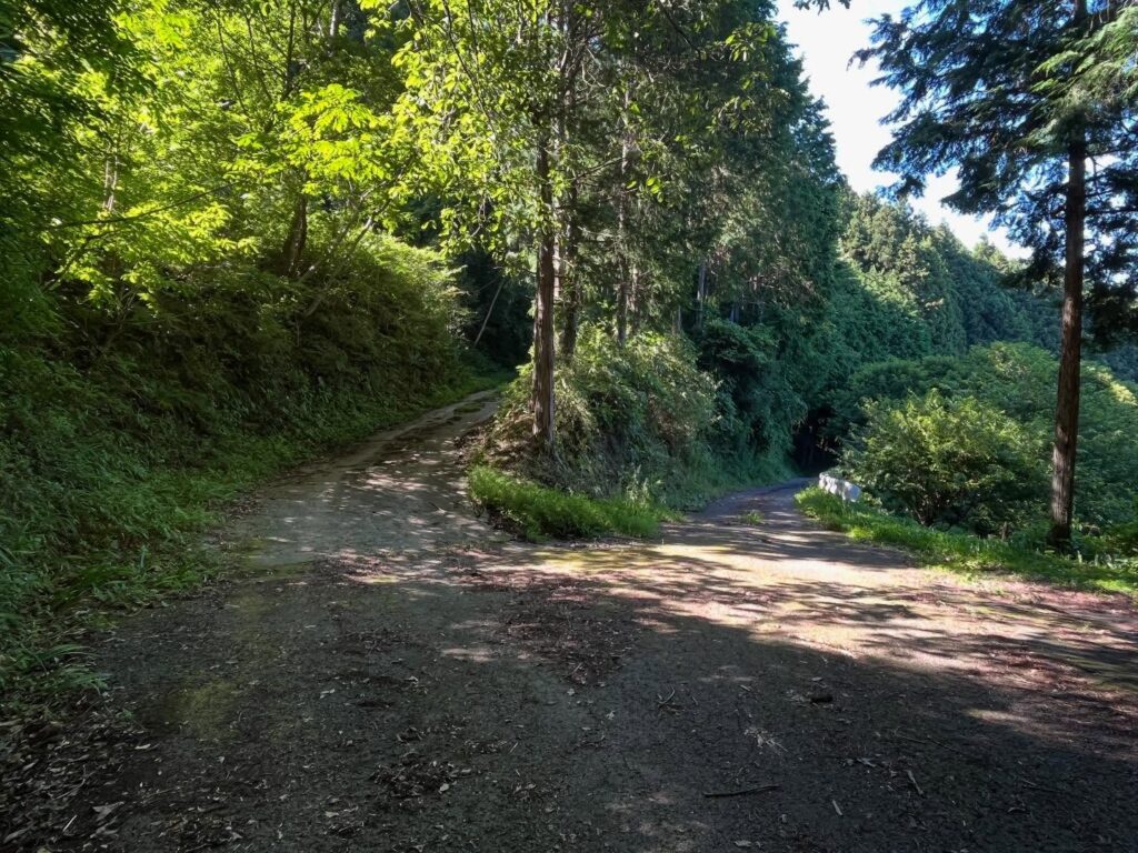
あとはマップを見ながら道なりに進んでいきます。
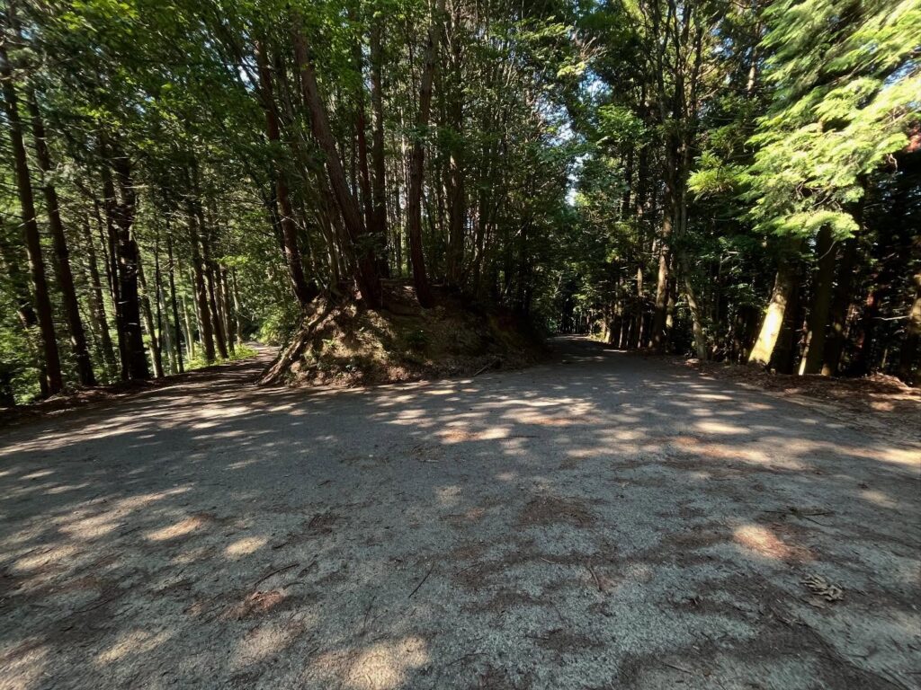
急な折り返しを過ぎると、左右に道が分かれますので、左の登りの道へ。
どんどん登っていくと、何やら怪しい廃バスが現れます。
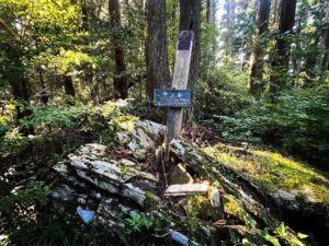
この場所が登山口です。
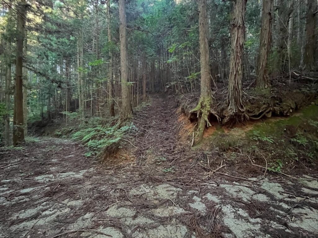
3方向に分岐が分かれています。
私は真ん中から入ってみました。
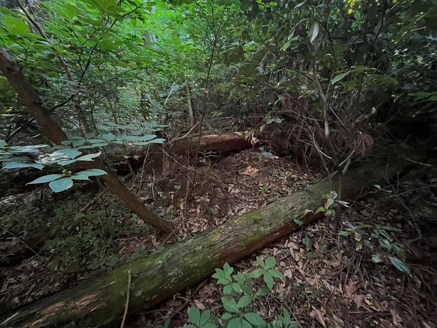
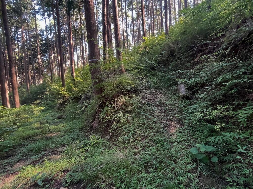
夏山のためか、とにかく草藪が凄く、道を塞ぎまくっています。
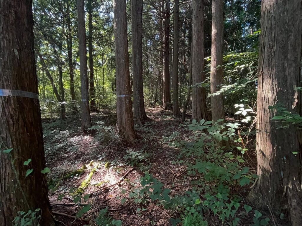
杉林管理のための道はあり、木にテープが巻かれているので、なんとなく道はわかります。
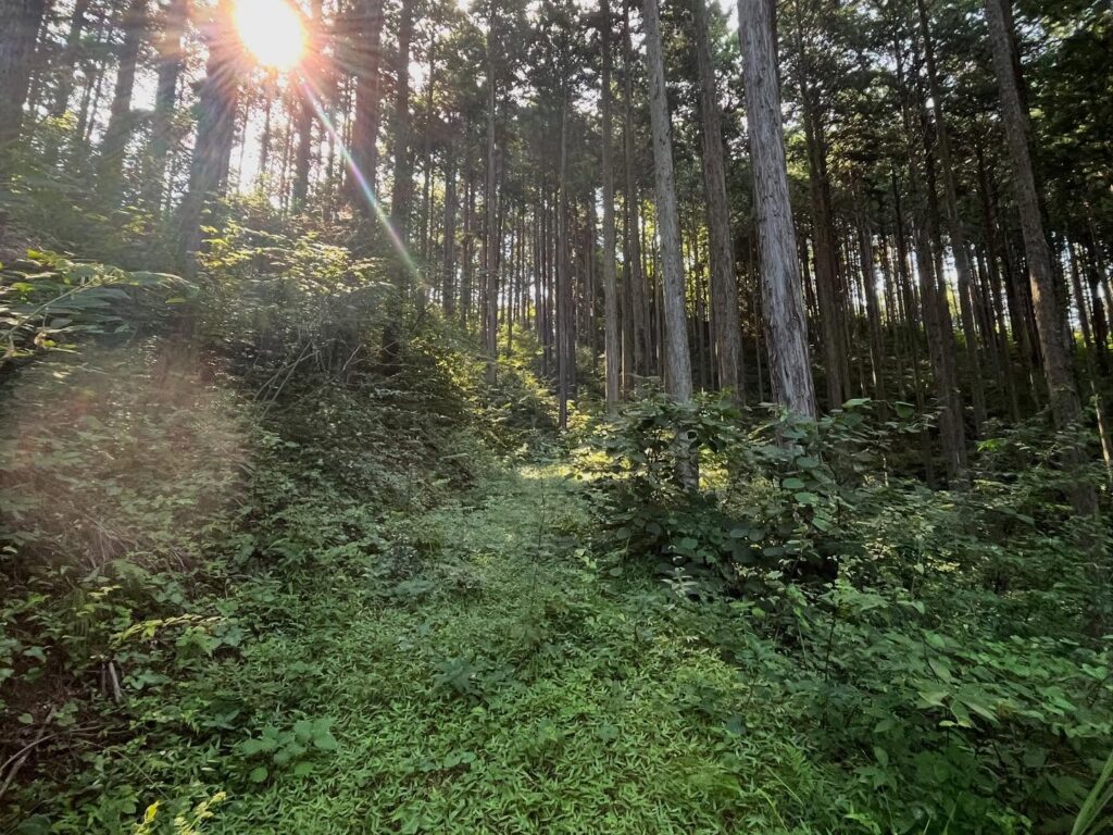
草をかき分け、蜘蛛の巣を振り払いながら登っていきます。
YAMAPに登山道は表示されていないため、山頂方向を目指して登っていきます。
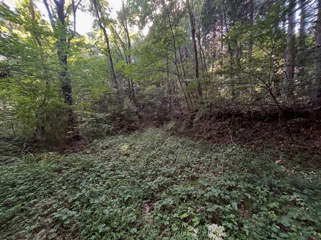
道はあるようなないような、出てきたり、消えたり、とにかく山頂を目指します。
と思っていたら、立派な道が現れ、道を見失っていたことに気づきます。
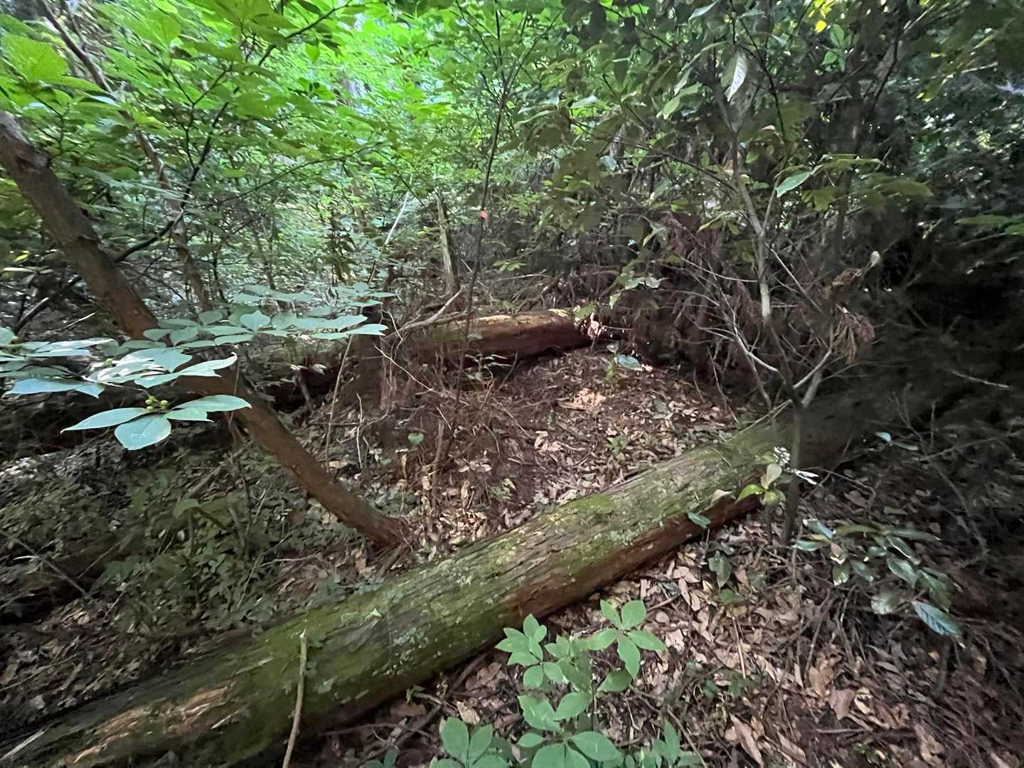
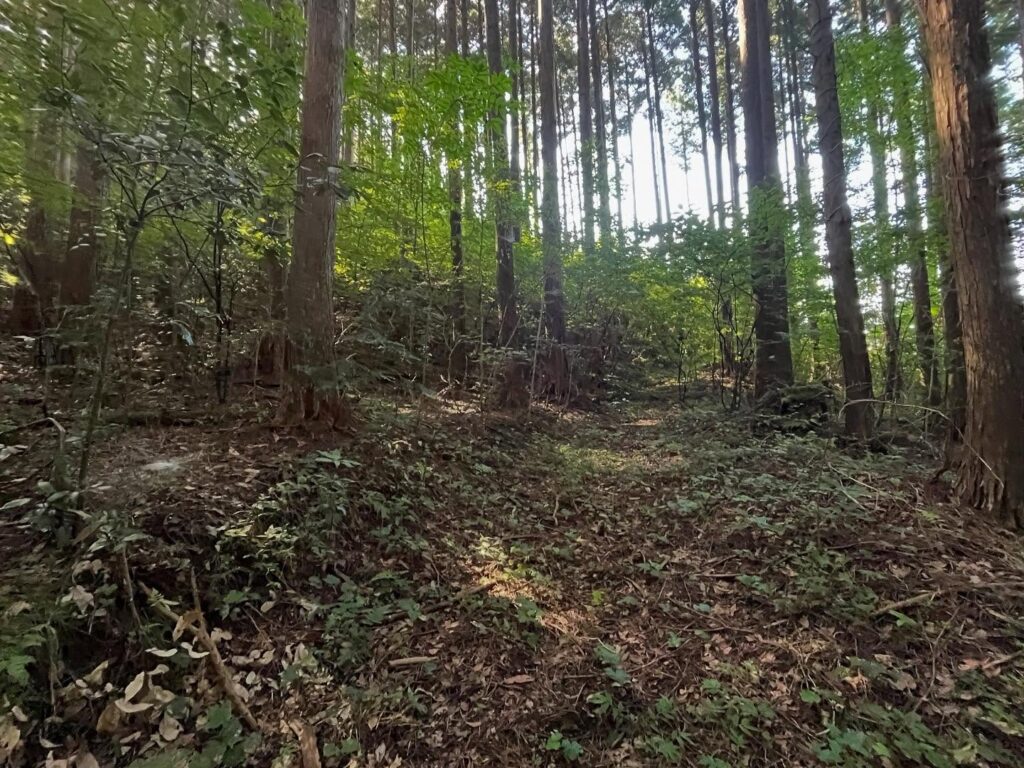
最後の20m程は道がなくなりますので、山頂目指して直登です。
細い木々と草藪をかきわけ、YAMAPの山頂らしき場所へ。
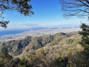
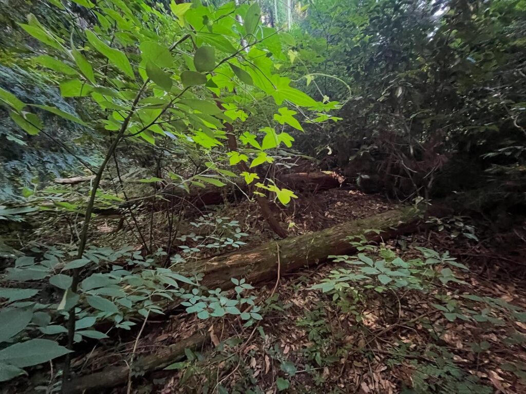
眺望はなく、あたりは完全に藪です…
下山後、先輩方のブログを読むと、三角点があったり、山頂標識があったりします。
うーん、私は藪で全くわかりませんでした!
季節が悪かったみたいですね(汗)
あれだけ苦労して登ってきたのですが、なぜか帰りは道がよく見えます。
最初の草藪まではスイスイと下りることができました。
草藪をよけるように、新しい道を選び、ぐるっと回って登山口へ。
最初の3分岐の左側から戻ってきました。
(先輩のブログを読むと、右側から登られていました)
先輩のブログによると、コクゾは「虚空蔵」と書き、「天をおさめる」という意味だそうです。
昔は、ここに総津権現社の奥の院があり、虚空蔵菩薩が祀られていたのだとか。
ありがたいお山だったのですね!
ただし、離合がかなり難しいだろうなぁ
ぐるっと折り返すこちらの場所まで走ります
ここから少し下ります
ここは左側の登り道を選びます
車両は絶対に不可能なので
軽自動車で来られた方はここまで
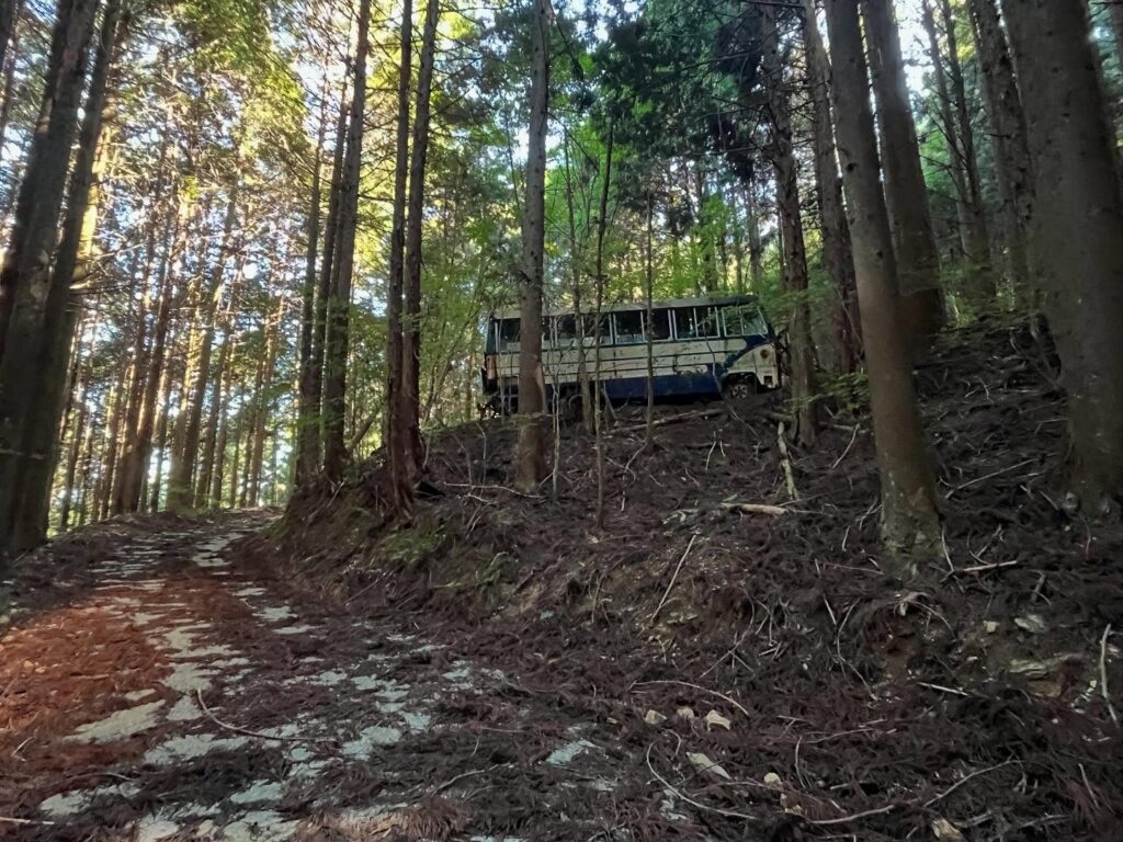
ここまでバスが登ってきたことにびっくり
この廃バスの場所が登山口です
どこからでも山頂へは行けるようです
私は真ん中の道を選びました
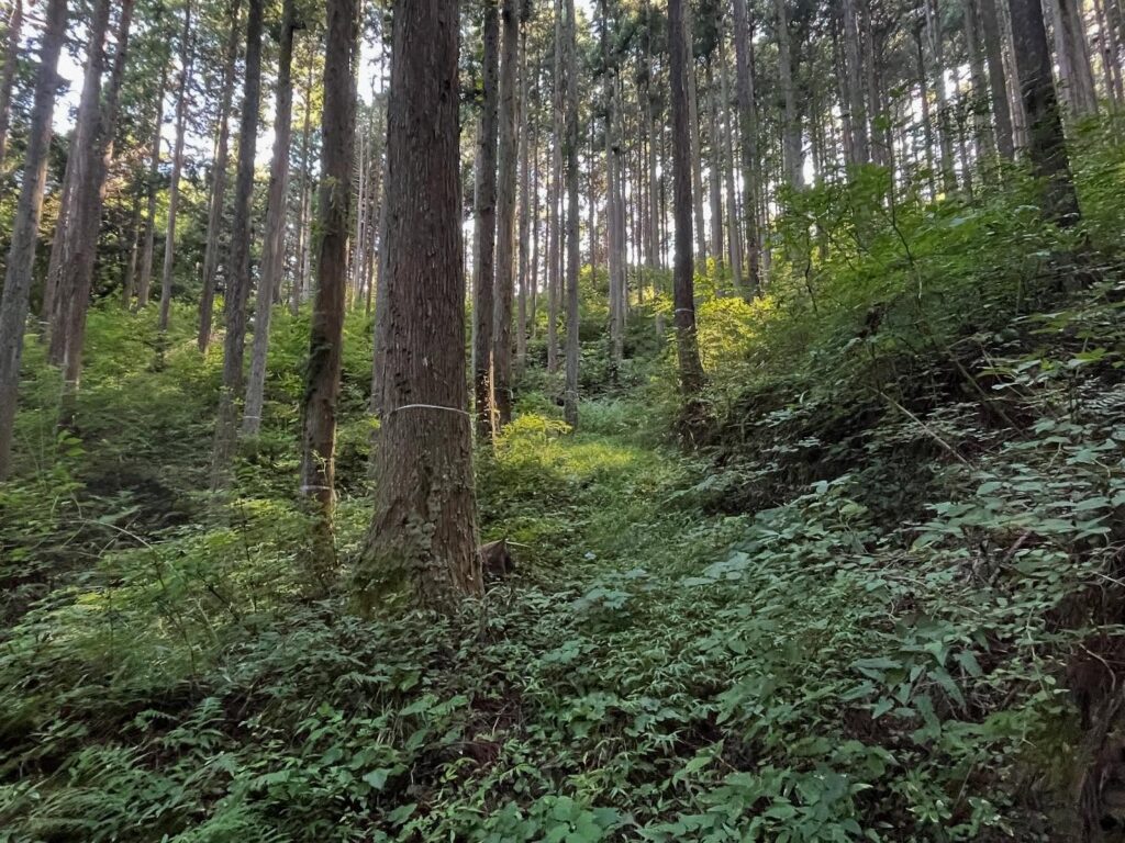
とにかく草藪だらけで、心が折れそうです
夏に来たらダメですね(汗)
再び藪に突っ込んでいきます
この場所は山頂のすぐ下あたり
ここで道がなくなりますので、山頂目指してバリエーションです
三角点があるはずなのですが、藪過ぎて見つけることができませんでした
#コクゾ峰
#こくぞみね
#標高825m
#愛媛の小山登り
#小山登り
#愛媛県
#伊予郡
#砥部町
#虚空蔵峰
#ミツモリ山
#三角点
#スクーター登山
#虚空蔵菩薩
Kokuzo Peak, located deep within Mt. Sōzu Gongen.
Looking at the YAMAP map, there is a road leading up to the summit.
I had been curious about it for a long time.
I had half a day free, so I decided to go for it!
Passing by the old town of Hirota, take National Route 379 and then turn onto Prefectural Route 42.
The entrance is at the fork with signs for Nagasouchi Pond and the Ishino Farmstay.
The road is well-maintained, but passing is quite challenging, so be cautious if you’re driving a compact car.
As usual, I went up on my scooter.
At the Ishino Minshuku junction, continue straight ahead.
Then follow the road while checking the map.
After passing a steep switchback, the road splits into two paths on the left and right, so take the left path leading uphill.
As you continue climbing, you’ll come across a suspicious-looking abandoned bus.
This is the trailhead.
The trail splits into three directions.
I tried taking the middle path.
Due to the summer mountains, the grass is incredibly thick and blocks the path.
There is a path for managing the cedar forest, and tape is wrapped around the trees, so you can somewhat tell where the path is.
I push through the grass and brush away spider webs as I climb.
Since the hiking trail is not displayed on YAMAP, I continue climbing toward the summit.
The path was there one moment and gone the next, but I kept aiming for the summit.
Then, a proper path appeared, and I realized I had lost my way.
The last 20 meters or so had no path, so I climbed straight up toward the summit.
I pushed through the thin trees and thick underbrush to reach what seemed to be the summit on YAMAP.
There was no view, and the area was completely overgrown…
After descending, I read my seniors’ blogs and found that there was a triangulation point and a summit sign.
Hmm, I couldn’t see anything in the thicket!
The season must have been bad.
Despite all the effort it took to climb up, for some reason the path was clearly visible on the way down.
I was able to descend smoothly until the first thicket.
Avoiding the thicket, I chose a new path and circled around to the trailhead.
I returned via the left side of the first three-way junction.
(According to the seniors’ blogs, they had ascended from the right side.)
According to the seniors’ blogs, Kokuzo is written as “Kokuzo” and means “to control the heavens.”
Apparently, there used to be an inner sanctuary of the Sōtsu Gongen Shrine here, where the Kokuzo Bodhisattva was enshrined.
What a blessed mountain it must have been!
コクゾ峰の入り口
コクゾ峰の登山口
コクゾ峰のMAP
活動データ(YAMAP)
活動データはYAMAPからご覧ください↓