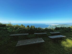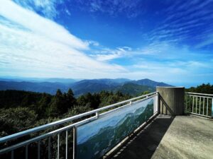
牛ノ峰 簡単に行けそうで辿り着きにくい山頂(愛媛県伊予市・愛媛県喜多郡内子町)標高895.54m
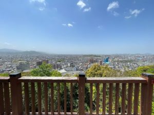
さて、せっかく牛ノ峯地蔵尊まで来たら、牛の峰の山頂に登りたいものです。
ここでスクーターを置いて、歩きになります。
とはいうものの、登山口が全くわかりません。
YAMAPとgoogleMAPを頼りに、いろいろと歩き回ります。
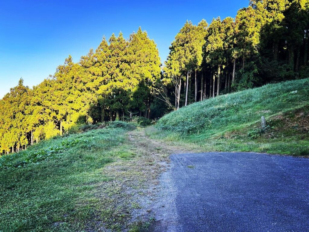
地形から、このあたりから登れるかなと思ったあたりが、林道石畳上灘線の峠あたり。
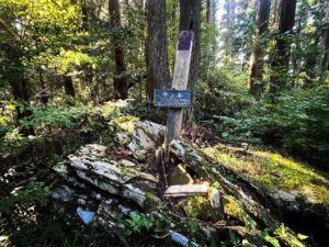
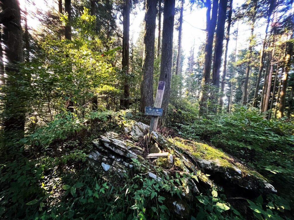
ここで、登山口の道標らしきものを見つけます。
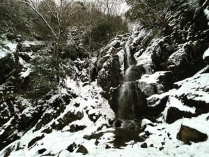
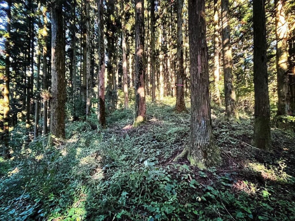
いばらだらけの薮をかきわけ山の中へ。
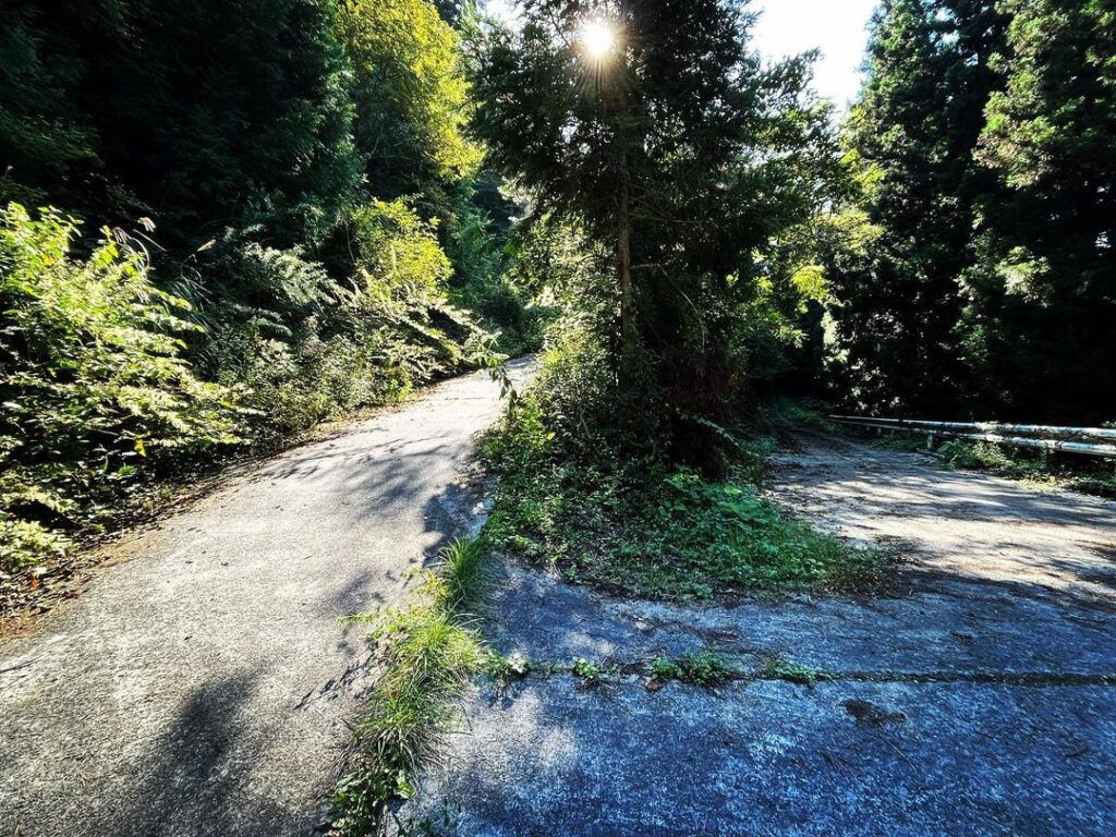
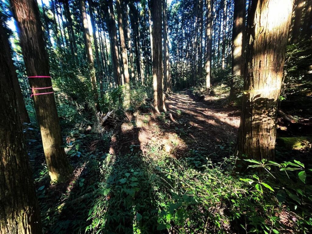
尾根から少し下のあたりを歩くと、広い作業道に。
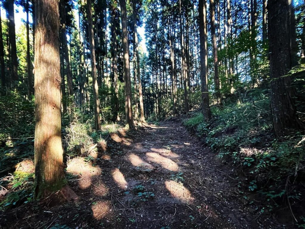
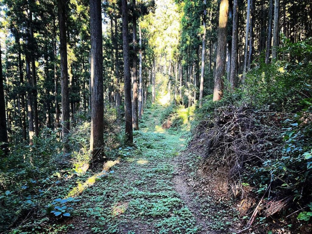
ここから、山頂に向かって作業道を歩き続けます。
道が迷路のようになっていますが、とにかくMAPを見ながら山頂方向へ。
山頂近くまで来たら、斜面らしき場所を見つけて、再び薮の中に突入です。
山の中に入ると、踏み跡らしきところを上に向かって登っていきます。
ところどころに木にテープが巻いてあるのがありがたいです。
木々と薮をかき分け、ピークらしきところへ。
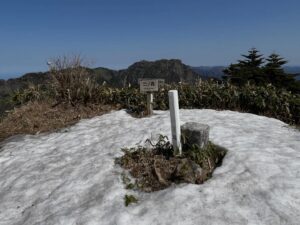
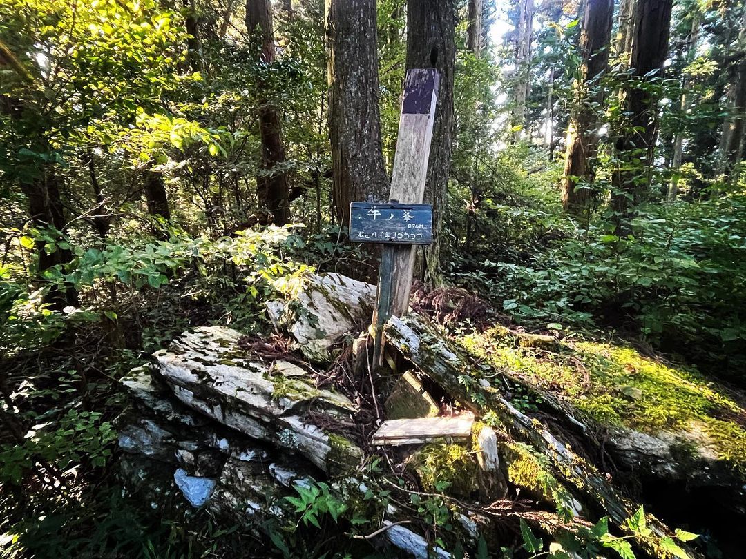
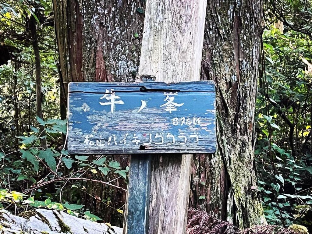
ここに石が積まれた山頂の標識が。
牛の峰 標高895.54m
ついに辿り着くことができました。
実は三角点もあったらしいのですが、薮の中で気がつきませんでした。残念。
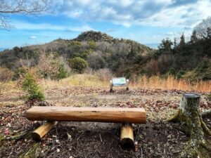
帰りは2度、藪山から道への脱出があります。
MAPを見ながら、ポイントを探しましょう。
ポイントを見失うと、山から出られませんので気をつけて!
しばらく歩くとしっかりした道になります
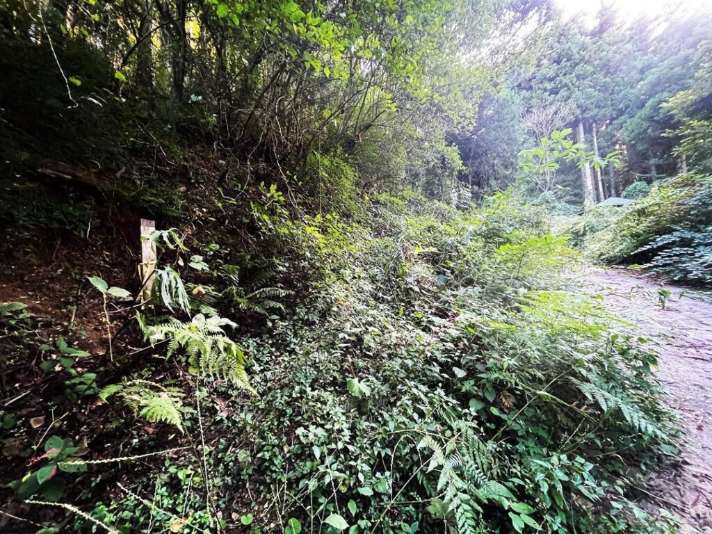
この藪の斜面を登っていきます、茨が凄いです
YAMAPを見ながら、とにかく山頂に向かって歩きましょう
山に入ったら帰り道がわかるようにマーキングしておくのもお奨めです(帰りに外しましょう)
時々、マーキングしてくれている木がありますが、山頂付近は藪です!
近くに三角点があるはずなのですが、藪で見つけられませんでした
内子町の石畳地区からも登ることができます
#牛の峰
#牛ノ峯
#標高895m
#愛媛の小山登り
#小山登り
#愛媛県
#伊予市
#上灘
#愛媛県
#喜多郡
#内子町
#石畳
#登山口の道標
#作業道
#石積み
#三角点見落とした
#四国百山
Now, if you have come all the way to Ushinomine Jizoson, you will want to climb to the top of Ushinomine.
We leave our scooters here and start walking.
However, we had no idea where the trailhead was.
Relying on Yamap and googleMAP, we walked around in various places.
From the topography, we thought we might be able to climb from this area, which is the pass along the Ishidatami Kaminada line of the forest road.
Here, we found what looked like a trailhead sign.
We waded through the thorny bushes and entered the mountain.
A short walk down from the ridge leads to a wide work path.
From here, we continue walking along the work path toward the summit.
The path is like a maze, but you keep your eyes on the map and keep walking in the direction of the summit.
When you get near the summit, you will find a place that looks like a slope, and then you will enter the bush again.
Once inside the mountain, you will climb upward on what looks like a trail.
We are thankful that there is tape wrapped around trees in some places.
We waded through the trees and bushes to what looked like a peak.
Here is a sign for the summit, piled with stones.
Cattle Peak, elevation 895.54 meters
We finally reached the summit.
Actually, there was a triangular point, but we didn’t notice it in the bushes. Too bad.
On the way back, we had to escape from the bush mountain to the road twice.
Keep an eye on the map and look for the point.
If you lose the point, you will not be able to get out of the mountain, so be careful!
牛ノ峯地蔵尊の登り口
牛ノ峯地蔵尊のMAP
牛ノ峰の登山口
牛ノ峰のMAP