ベツソ山 気軽に尾根歩きを楽しめる小山(愛媛県伊予市)標高266.16m
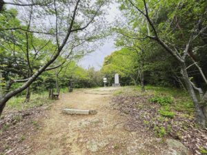
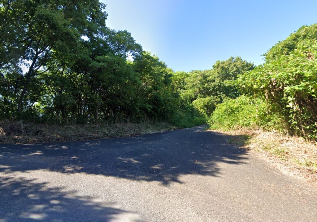
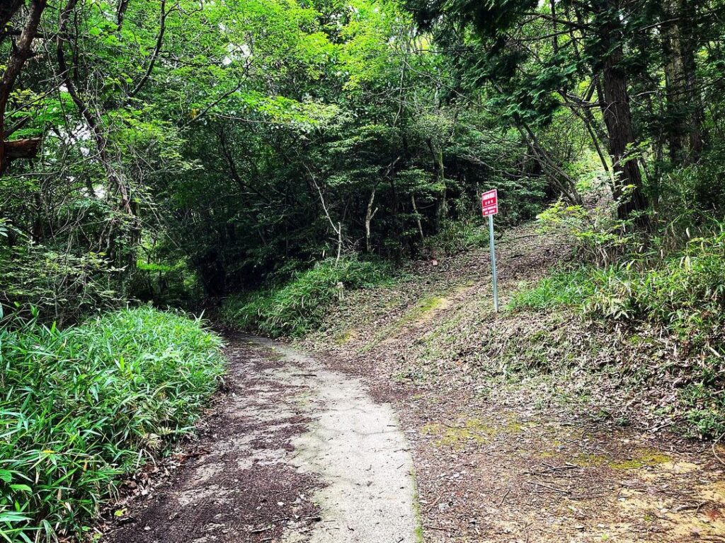
谷上山第2展望台の少し下から林道に入ります。
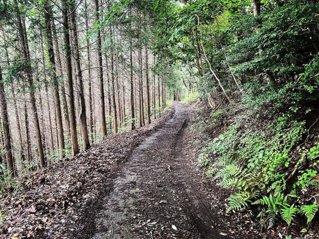
しばらく林道を進むと、林道と巡視路の分かれ道に。
ここがベツソ山の登山口です。
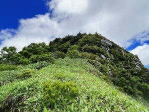
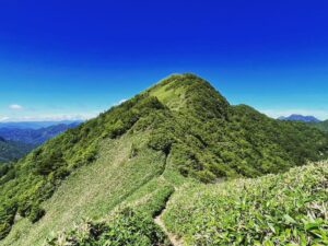
尾根のピークは4ヵ所あり、その4ヵ所目がベツソ山の山頂です。
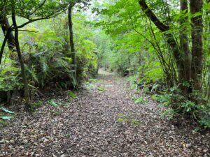
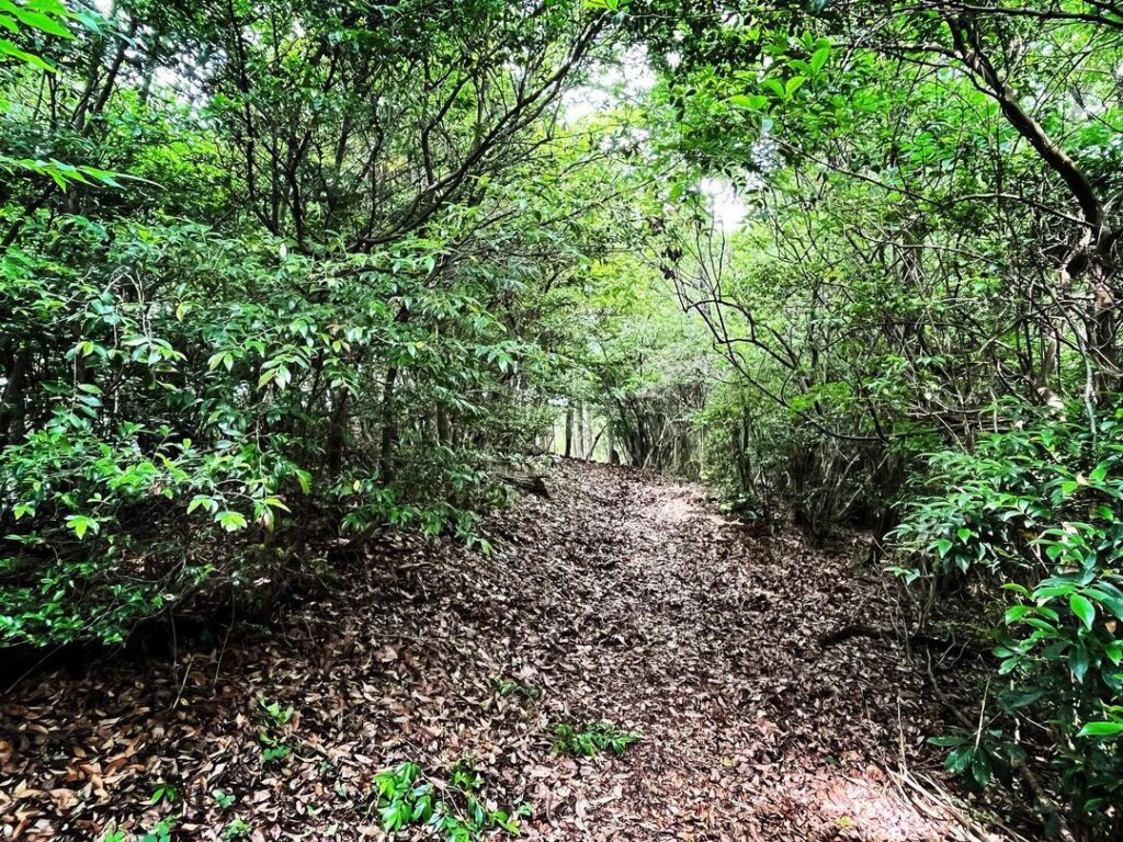
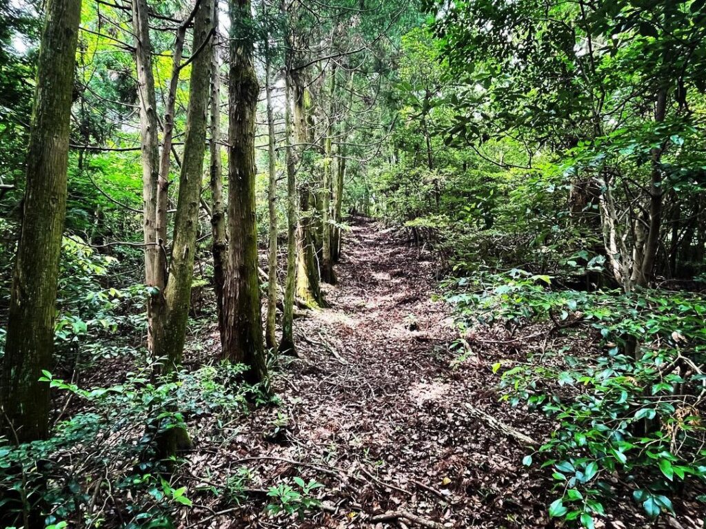
ピークが4ヵ所ですので、上がったり、下りたりを繰り返しますが、道は歩きやすいです。
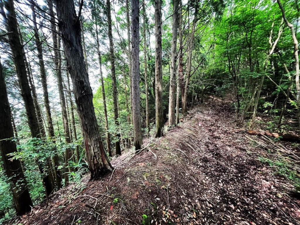
最後の2ピークは、一気に下りて、一気に上る感じです。
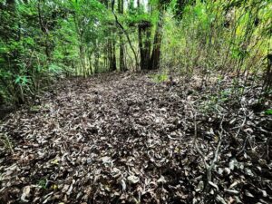
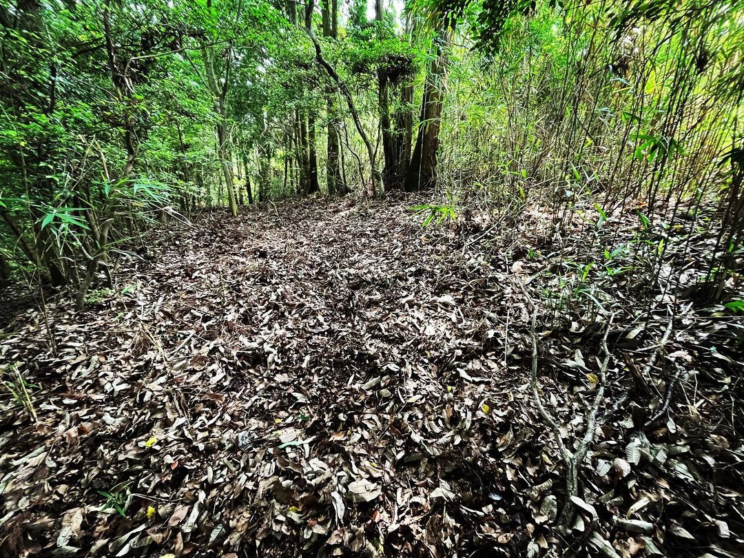
ベツソ山の山頂は、細い広場が続く感じ。
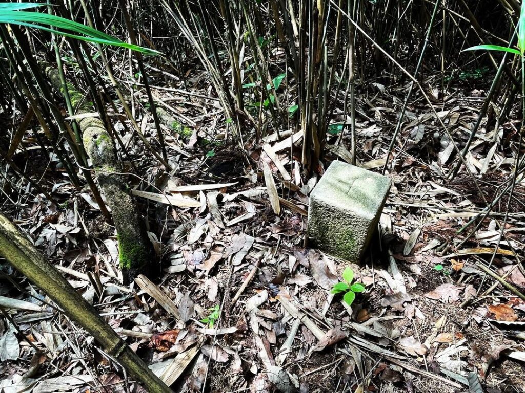
ここから笹薮に2m程入れば、三角点を見つけることができます。
目視だけで探すのはかなり困難ですので、YAMAP等のGPSで探してみてくださいね。
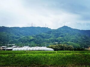
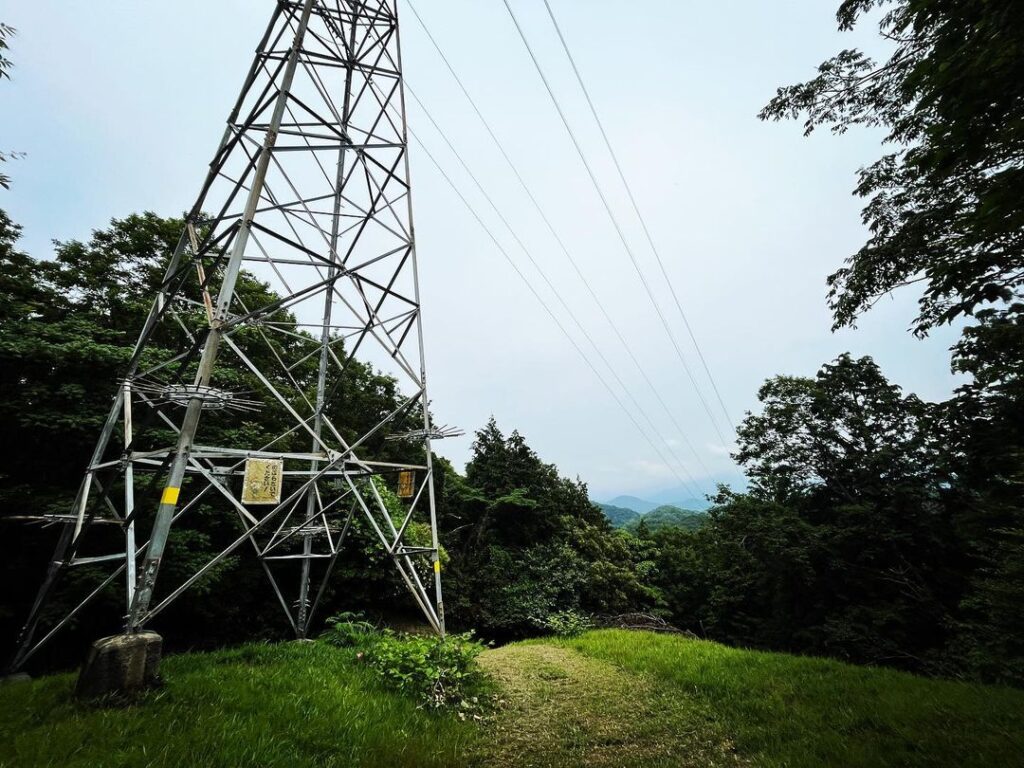
眺望はほとんどありませんが、気軽に尾根歩きを楽しみたい方はお奨めですよ!
#ベツソ山
#標高266m
#尾根歩き
#巡視路
#鉄塔巡視路
#愛媛の小山登り
#小山登り
#愛媛県
#伊予市
#谷上山第2展望台
#YAMAP
#GPS
#三角点
Enter the forest road a short distance below the second lookout point on Mt Tagami.
After following the forest road for a while, you come to a fork in the road between the forest road and the patrol road.
This is the trailhead for Mt Betsuso.
There are four peaks on the ridge, the fourth of which is the summit of Mt Betsuso.
As there are four peaks, the path is easy to walk on, although it repeatedly ascends and descends.
The last two peaks are a quick descent and then a quick ascent.
The summit of Mt Betso is a narrow square.
If you enter the bamboo bushes about 2 m from here, you can find the triangulation point.
It is quite difficult to find it just visually, so please use a GPS such as YAMAP to find it.
There are few views, but if you want to enjoy a casual walk on the ridge, we recommend it!