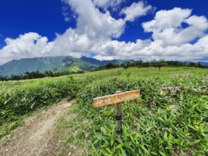
工石山 見どころたくさん!なだらかな傾斜の北まわりコース(高知県高知市・高知県土佐郡土佐町)標高1177m
本日は久しぶりに、ソロではなく家族で山登り。
高知県の工石山に登ってきました。
この山、標高が1177mありますが、登山口からの標高差が300m程度で、かつ斜面が緩やかで登りやすいのが特徴です。
大きく分けると、北まわりコースと南まわりコースがありますが、北まわりコースが1時間ちょっとで登れ、道もよく整備されているのでお薦めです。
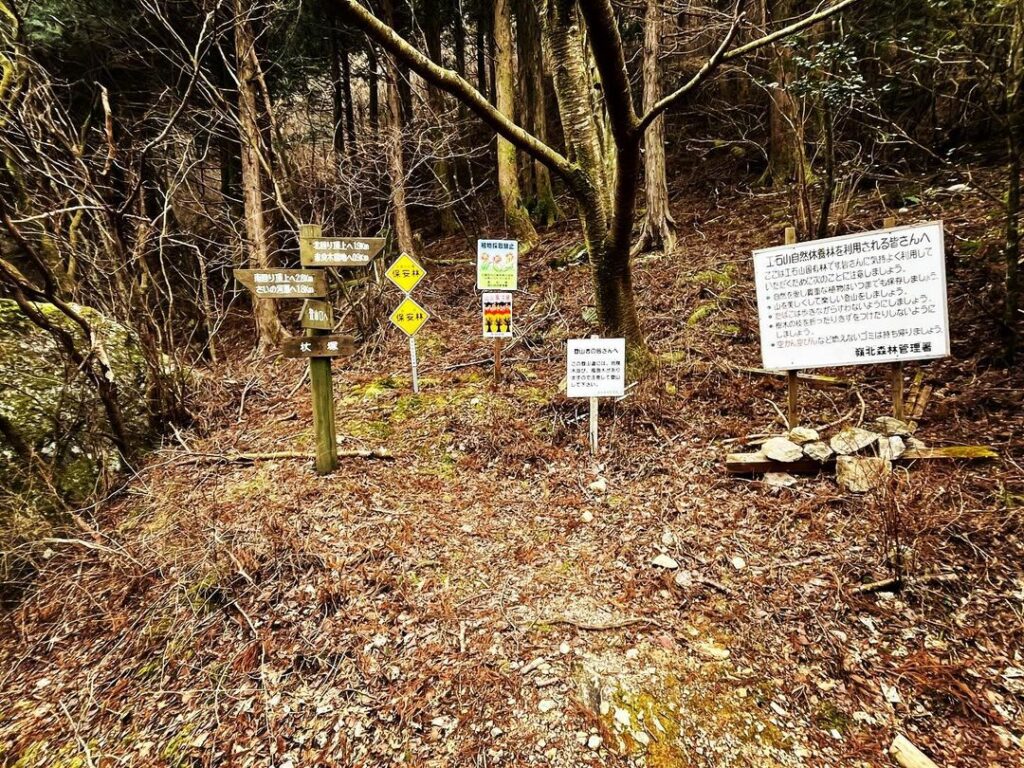
工石山青少年の家を出発し登山口へ。
しばらく登ると、北まわり、南まわりの分岐点に。
今回は北まわりで登ります。
北まわりの見どころはたくさんあります。
まずは、根曲がり杉。
昭和38年8月の台風9号により植栽間もない杉がなぎ倒されて成長したもの。
見事な曲がり方と、杉のたくましさが伝わります。
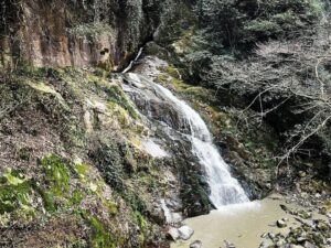
続いて、八起岩・白鷲岩。
少しドキドキしますが登ると、岩の向こうに絶景が広がっています。
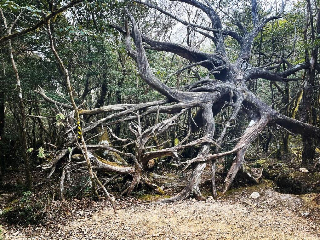
次に天然ひのき風倒根。
同じ台風で倒れた、樹齢200年以上の杉の根です。
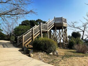
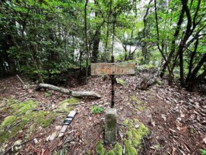
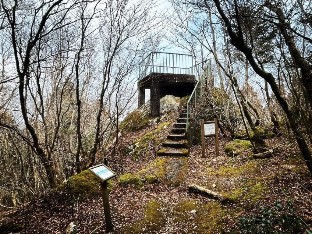
ここが下りの分岐点になっており、赤良木展望台に続いています。
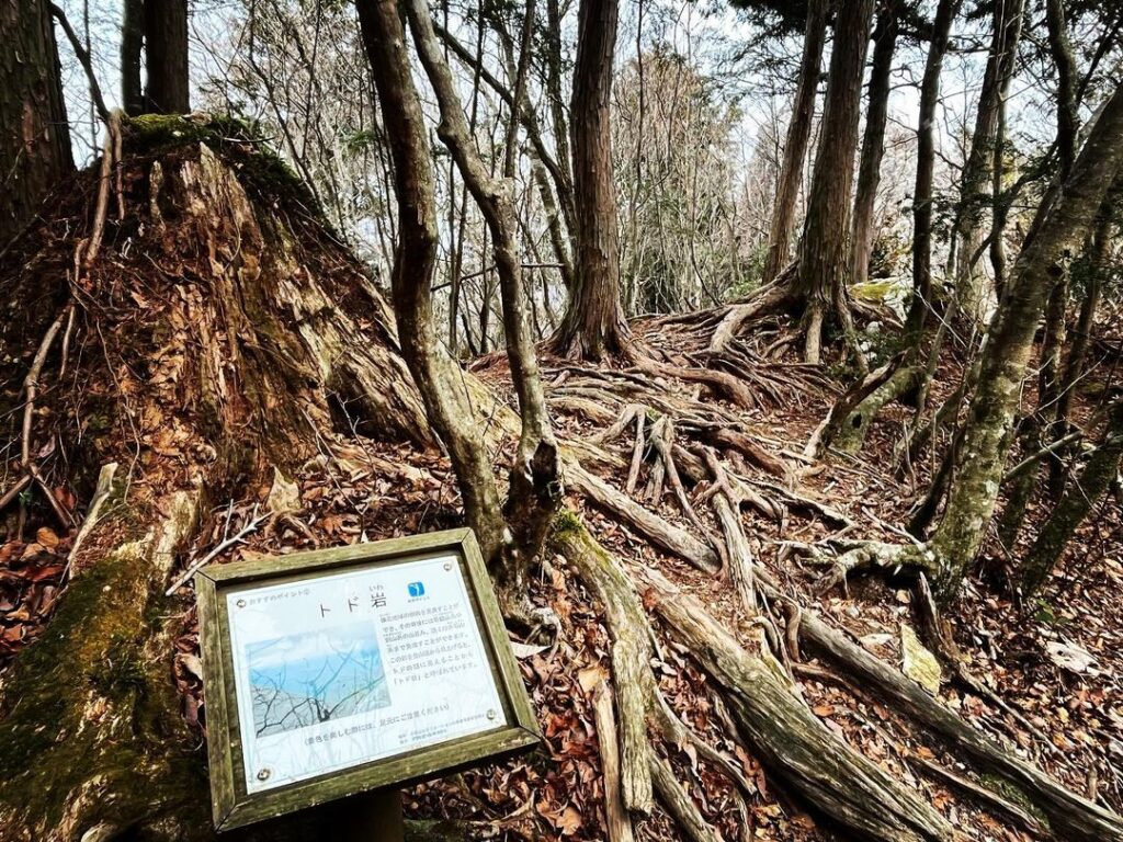
さらに登ると、とど岩があります。
下から見ると、とどの形なのだとか。
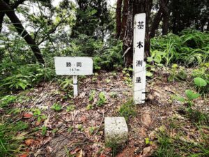
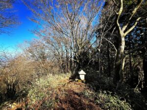
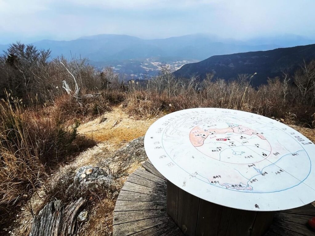
最後の登りを終えると、北の頂きに。
周囲の山々の説明があるテーブルがあります。
さらに奥に進むと北の頂の標識も。
そのまま奥に進みます。
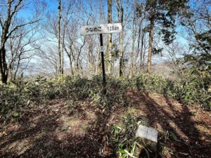
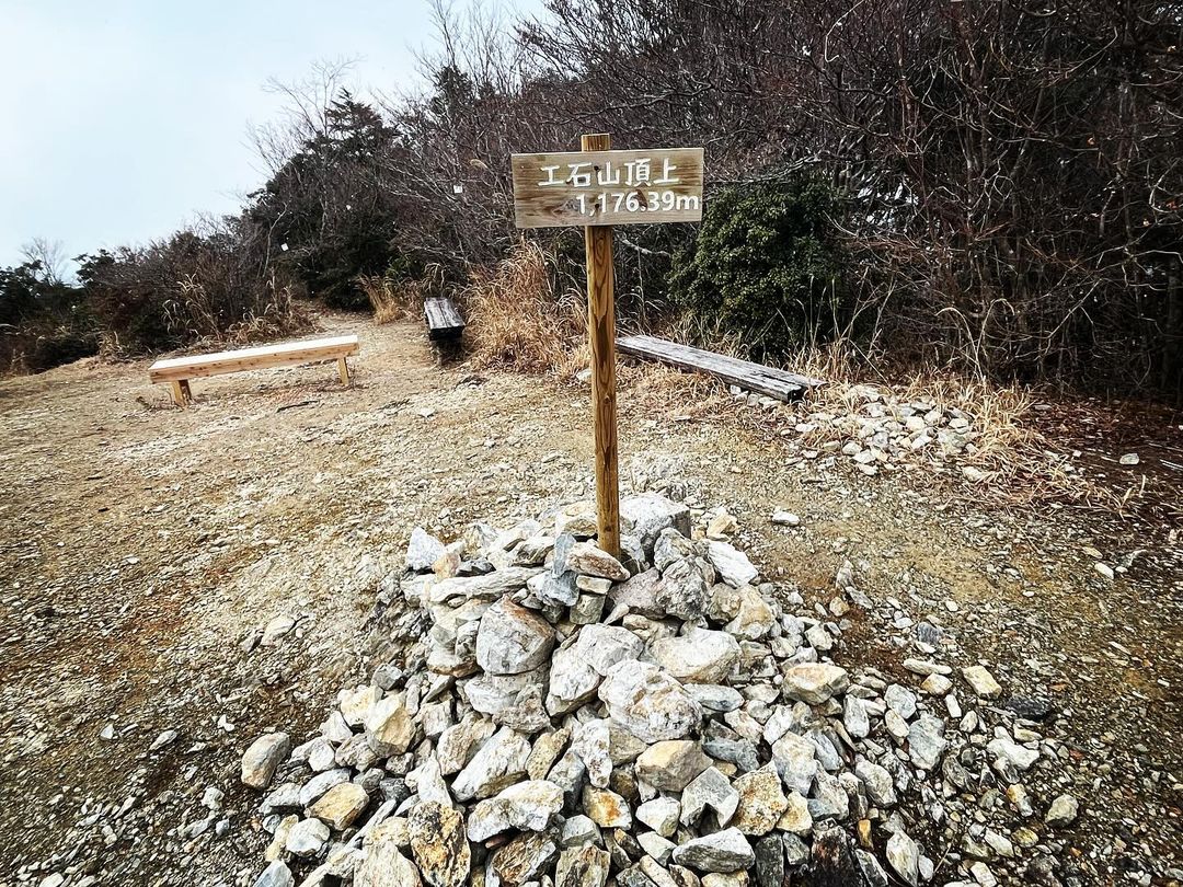
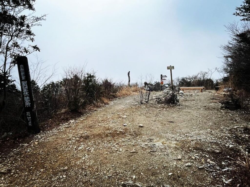
少し下りて登り直すと、南頂上に。
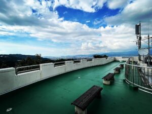
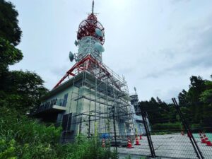
標高1176.39mの標識と展望ベンチが設置されています。
以前は山頂に展望台があったのですが、2021年に老朽化のため取り壊されました。
このヒノキの展望台、2009年6月11日に高知工業高校建築学科の生徒が作製されたものだったそうです。
山頂では少しボタン雪が舞い、ガスで眺望が少なめでしたが、家族と珈琲を飲んで楽しい時間を過ごすことができました。
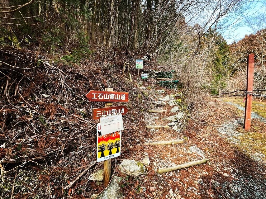
ようやくスタートです
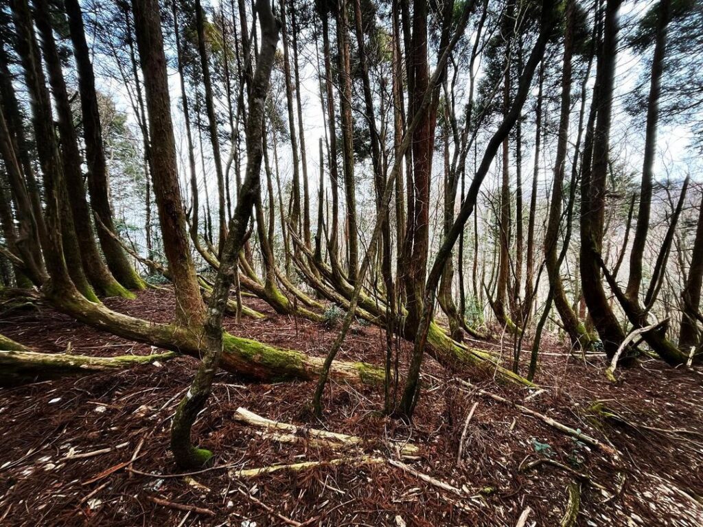
見事なまでに曲がっていますね
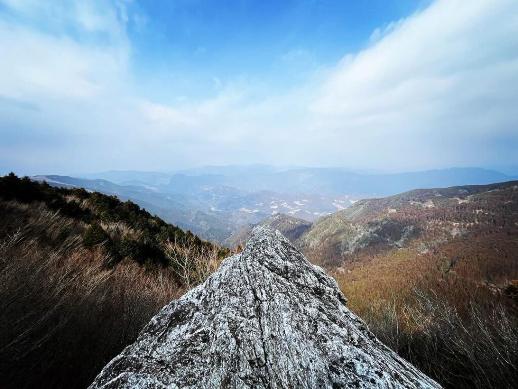
素晴らしい眺望が待っています
ガスで眺望は望ませんでした
粉雪が舞ってくれたのは嬉しかったです

#工石山
#くいしやま
#標高1177m
#北頂上
#北の頂
#標高1176m
#南頂上
#根曲り杉
#白鷲岩
#八起岩
#とど岩
#天然ひのき風倒根
#赤良木展望台
#工石山青少年の家
#高知市工石山青少年の家
#県民の森
#平家落人
#喰石山
#愛媛の小山登り
#小山登り
#高知県
#高知市
#土佐郡
#土佐町
Today, for the first time in a while, I climbed a mountain not solo but with my family.
We climbed Mt. Kuseki in Kochi Prefecture.
This mountain is 1177 meters above sea level, but the difference in elevation from the trailhead is only about 300 meters, and the slopes are gentle and easy to climb.
There are two main courses: a northbound course and a southbound course. The northbound course can be completed in a little over an hour, and the path is well maintained, so it is recommended.
Depart from the Kusekiyama Youth House to the trailhead.
After climbing for a while, you will come to the junction of the north and south routes.
This time, we will take the north route.
There are many highlights on the north circuit.
First, there is a cedar tree.
These cedars were knocked down by Typhoon No. 9 in August 1963, and have since grown.
The magnificent curvature of the cedar conveys its toughness.
Next, Yaoki Iwa and Shirawashi Iwa.
After a bit of a nerve-wracking climb, you will be greeted with a spectacular view beyond the rocks.
Next, natural hinoki windfall roots.
This is the root of a cedar tree more than 200 years old that was felled by the same typhoon.
This is the downhill turnoff to the Akaragi Lookout.
Climbing further, you will come to Todo-iwa.
It is said to have the shape of a todo-iwa when seen from below.
After the final climb, you will reach the northern summit.
There is a table with explanations of the surrounding mountains.
Further in the back, there is a sign for the North Summit.
Continue to the far end.
After a short descent and climb back up, you will reach the south summit.
There is a sign indicating the elevation of 1176.39 meters and an observation bench.
There used to be an observation deck on the summit, but it was torn down in 2021 due to aging.
This cypress observation deck was built on June 11, 2009 by students of the architecture department of Kochi Technical High School.