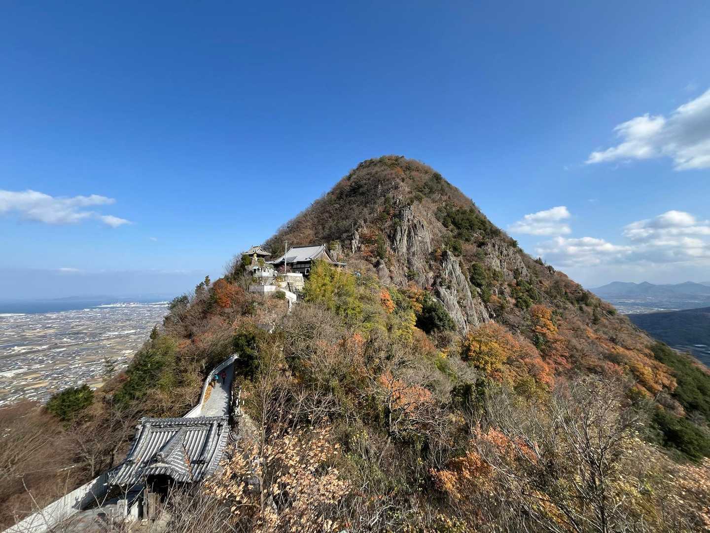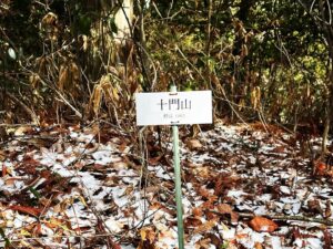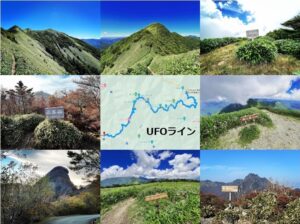
筆ノ山 眺望を楽しめる絆の森 善通寺五岳山縦走(香川県善通寺市)標高296m
我拝師山から筆ノ山へ。
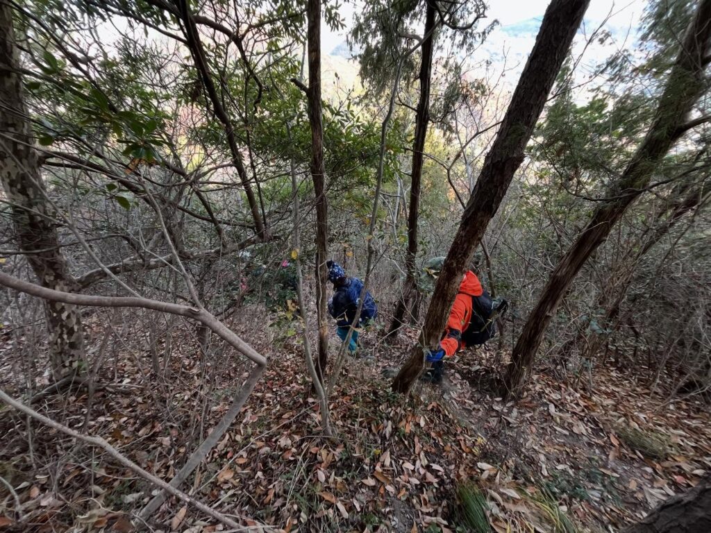
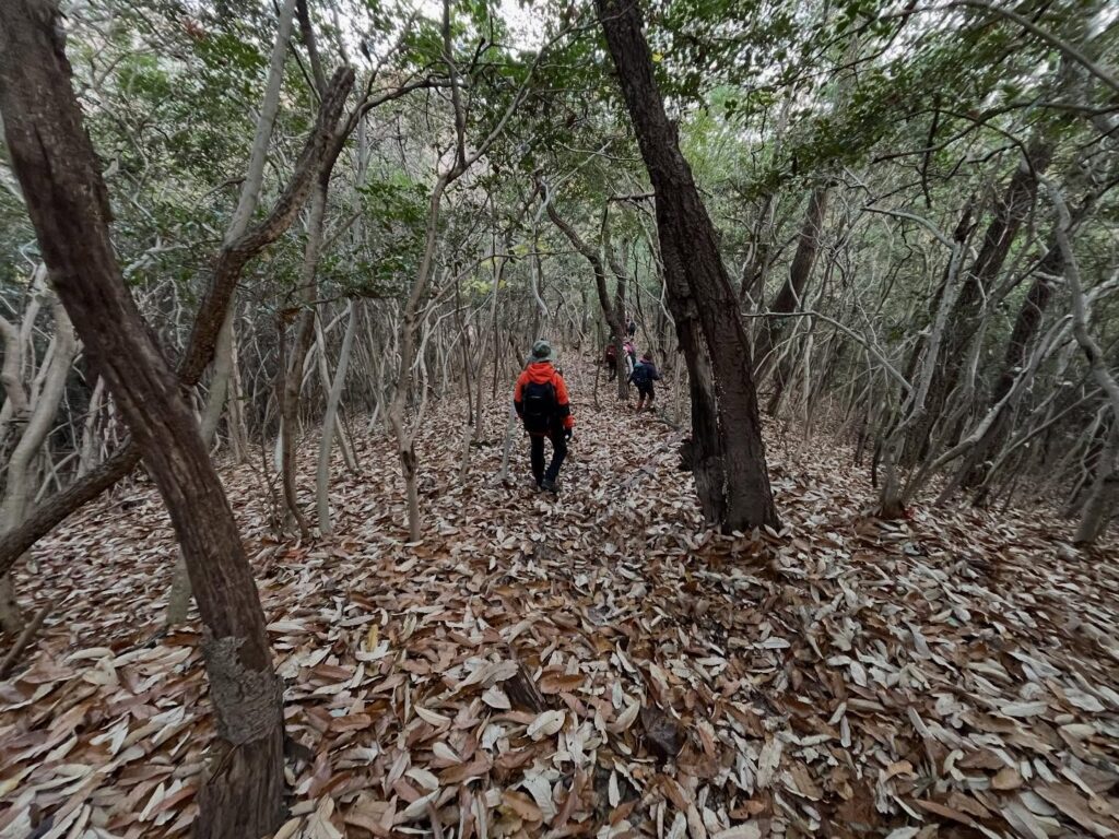
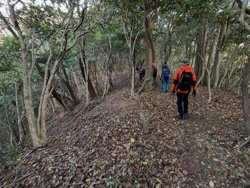
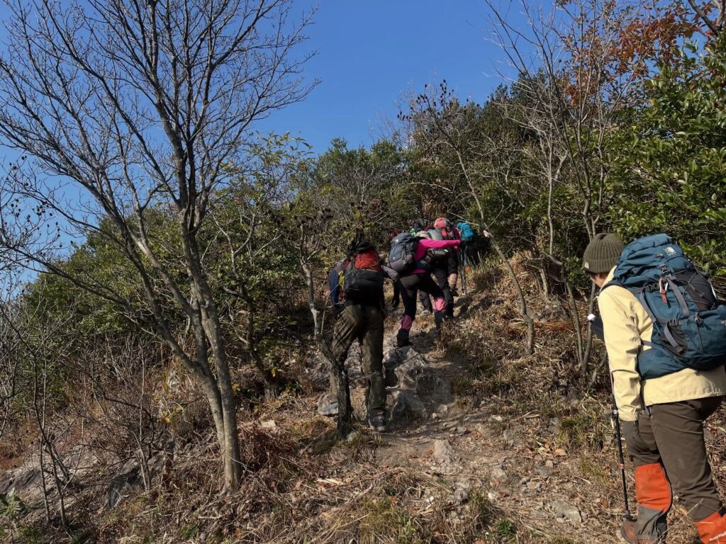
まずは、かなりの急傾斜を下りていきます。
きちんと道がありますが、振り返ると、壁を下りてきているような錯覚を覚えます。
これ、逆側から急登したくないですねぇ…
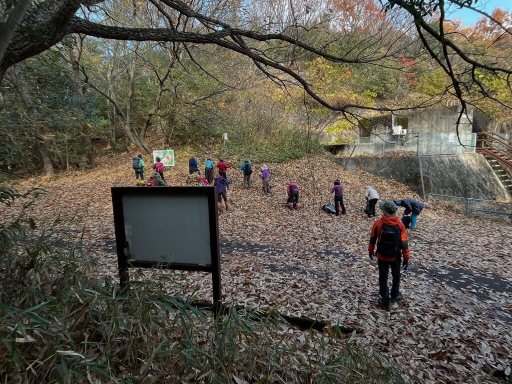
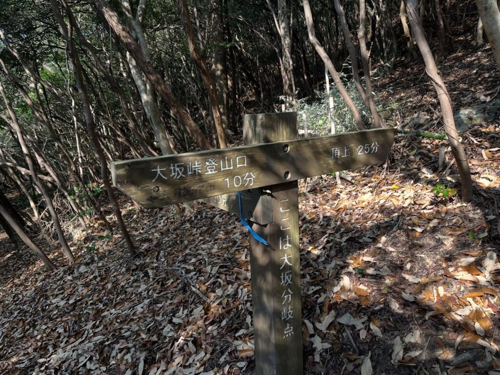
約300m下って、大坂峠に到着。
広場になっています。
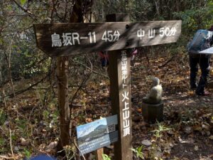
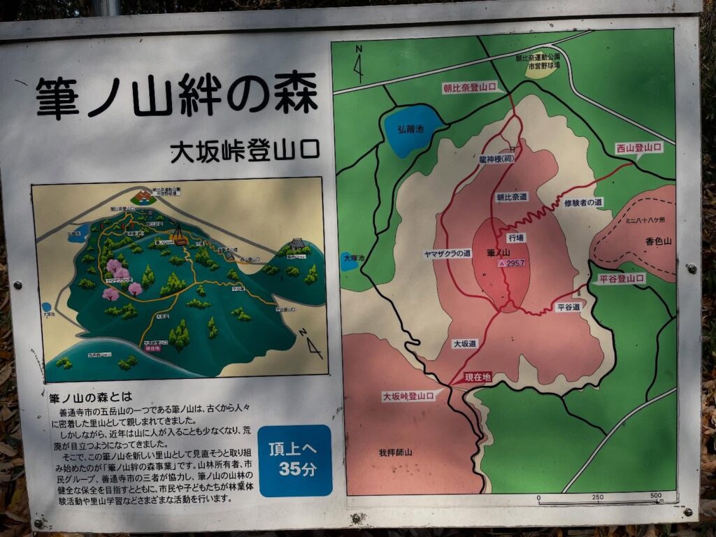
大坂峠登山口から筆ノ山へ登ります。
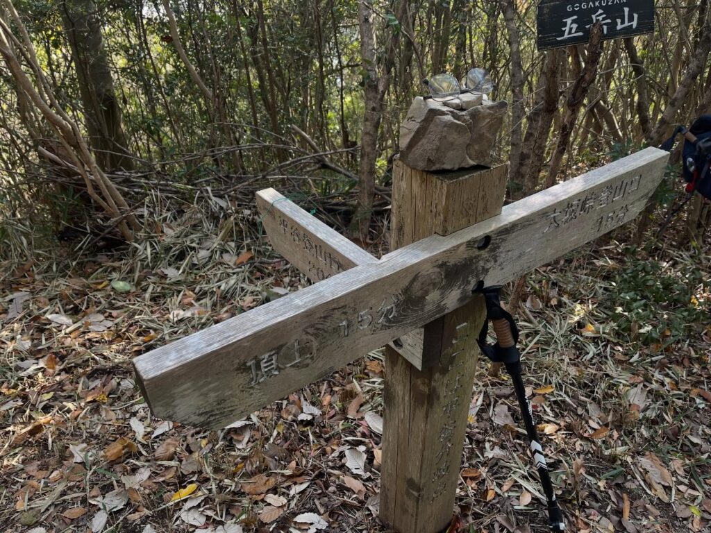
ちなみに筆ノ山への登山口は、西山登山口・朝比奈登山口・大坂峠登山口、平谷登山口の4ヶ所があるそうです。
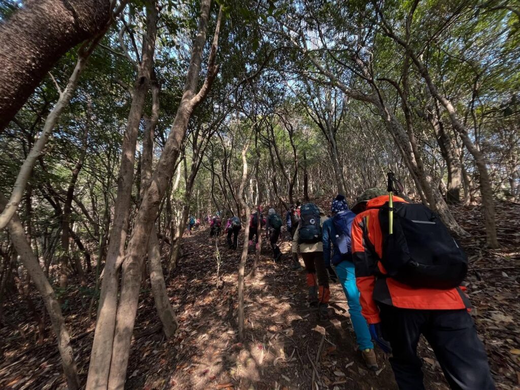
大坂峠登山口の標高は約160mですので、山頂まで130m程の登りとなります。
大坂峠登山口からはとても登りやすかったです。
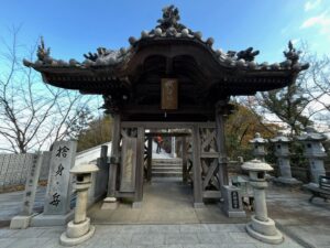
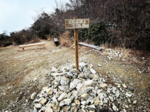
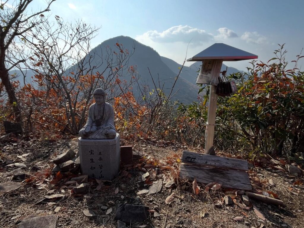
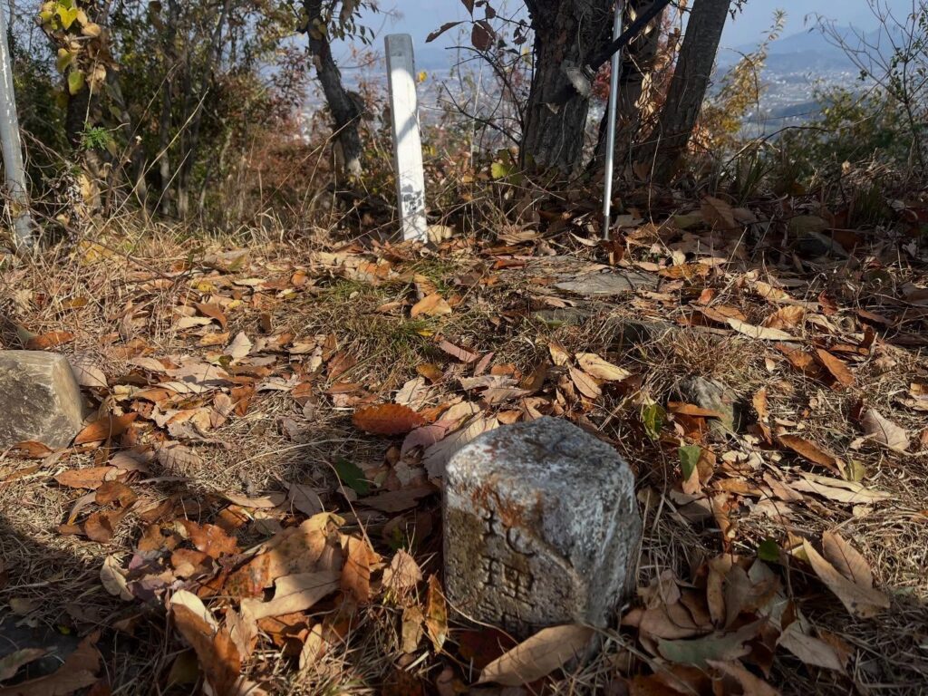
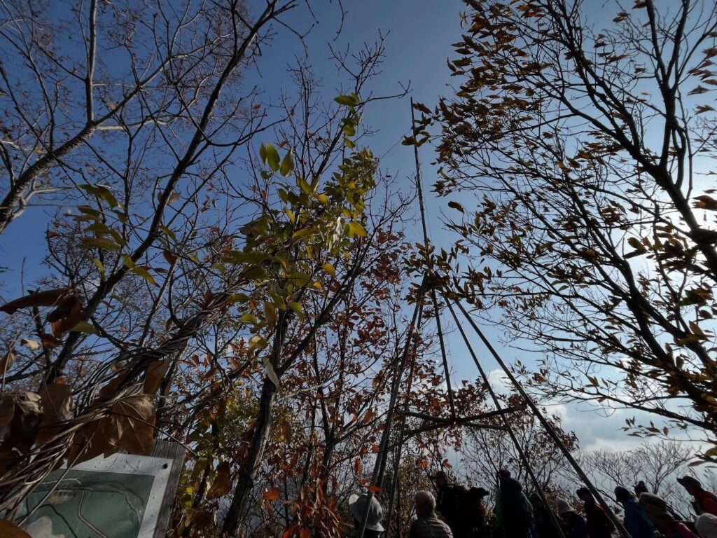
約30分程で山頂に到着。
こちらは宝生如来の仏像です。
財宝を生み出し幸福を授けてくださるそうです。
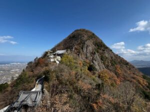
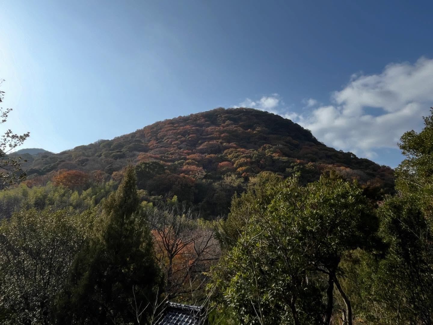
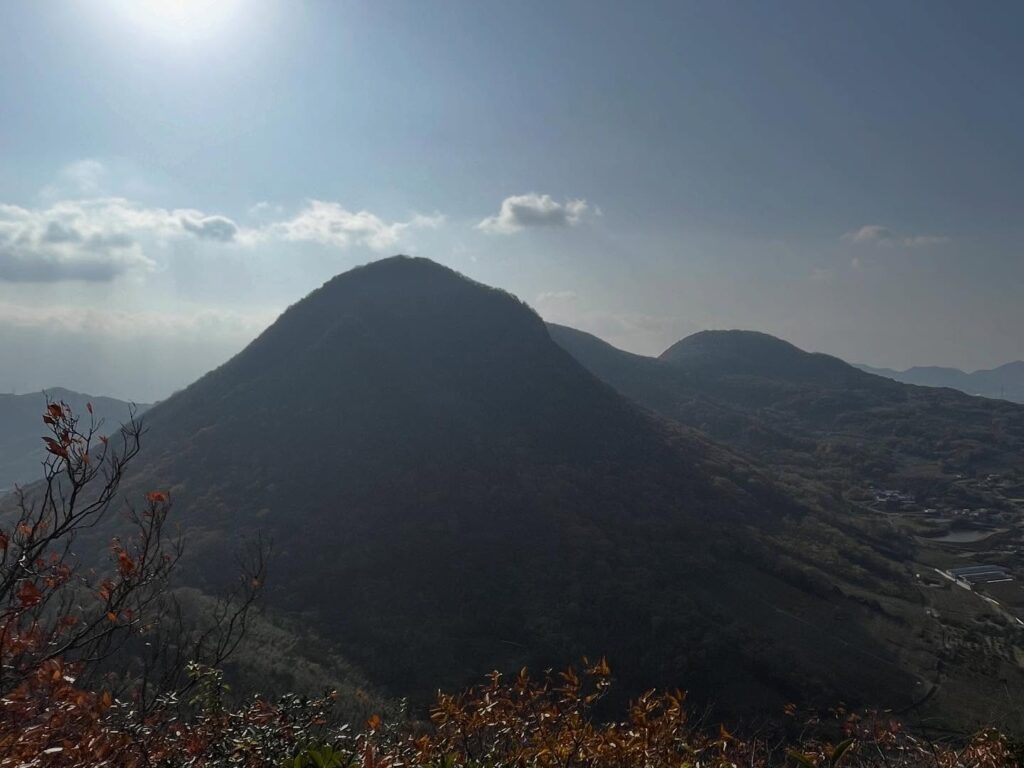
仏像の後ろには、我拝師山がそびえています。
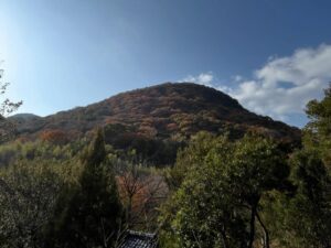
我拝師山は少しいびつな形をしているのですが、北斜面が岩盤崩壊があったそうです。
この斜面は果樹園として利用されており、麓には善通寺五岳の里 市民集いの丘公園があるそうです。
こちらも、次回は行ってみたいですね。
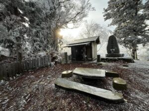
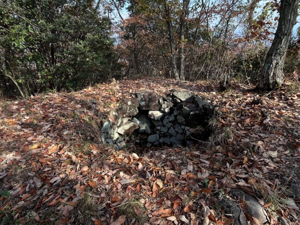
山頂の近くに、監視哨がありました。
太平洋戦争中に使われていたようです。
善通寺市は自衛隊の駐屯地もあるように、重要な軍事エリアだったことがわかりますね。
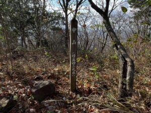
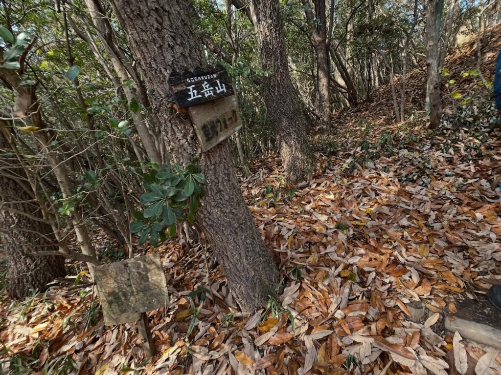
下りは香色山に向かうため、平谷登山口の方に下りていきました。
聞いていた通り、ものすごい傾斜(汗)
無事に下りてきました
こちらから我拝師山には登りたくないなぁ
山頂までもう少し!
財宝を生み出し幸福を授けてくださる
宝生如来
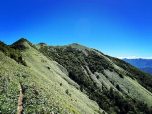
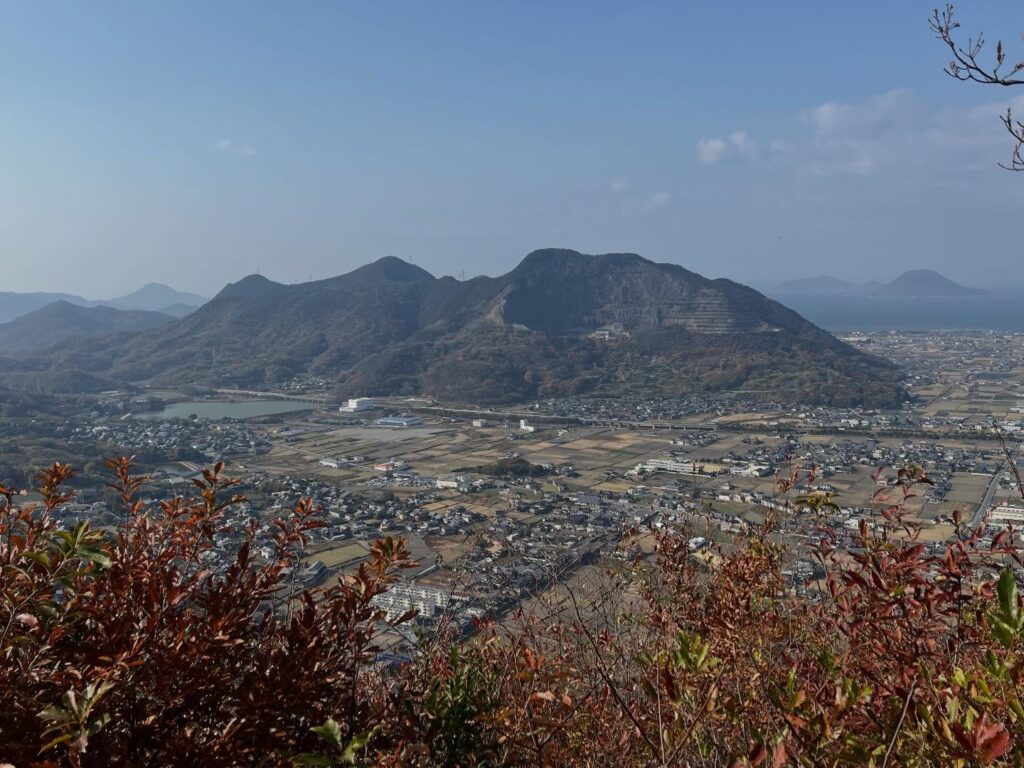
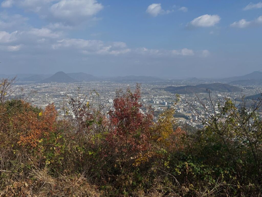
火上山もきれいに見えます
#筆ノ山
#ふでのやま
#標高296m
#どんど山
#宝生如来
#ほうしょうにょらい
#愛媛の小山登り
#小山登り
#香川県
#善通寺市
#MHC
#松山ハイキングクラブ
#監視哨
#ヤマザクラの道
From Mount Gahaishi to Mount Fudenoyama.
First, we descend a fairly steep slope.
There is a proper trail, but looking back, it feels like we’re climbing down a wall.
I wouldn’t want to climb this steep slope from the other side…
After descending about 300m, we arrive at Osaka Pass.
It’s a wide open area.
We ascend Mount Fude from the Osaka Pass trailhead.
Incidentally, there are apparently four trailheads for Mount Fudenoyama: Nishiyama Trailhead, Asahina Trailhead, Osaka Pass Trailhead, and Hiraya Trailhead.
The elevation at the Osaka Pass Trailhead is about 160m, so it’s a climb of roughly 130m to the summit.
The ascent from the Osaka Pass Trailhead was very manageable.
We reached the summit in about 30 minutes.
This is a statue of Hōshō Nyorai.
It is said to generate wealth and bestow happiness.
Behind the statue, Mount Gahaishi towers.
Mount Gahaishi has a slightly irregular shape; apparently, there was a rockfall on its northern slope.
This slope is used as an orchard, and at its base lies the Zentsuji Gogaku no Sato Citizen Gathering Hill Park.
I’d like to visit there next time too.
Near the summit, there was an observation post.
It seems to have been used during the Pacific War.
This shows that Zentsūji City was an important military area, as evidenced by the presence of a Self-Defense Forces base.
For the descent, we headed down toward the Hiraya Trailhead to proceed to Kōshikisan.
我拝師山のMAP
筆ノ山登山口(大坂峠登山口)
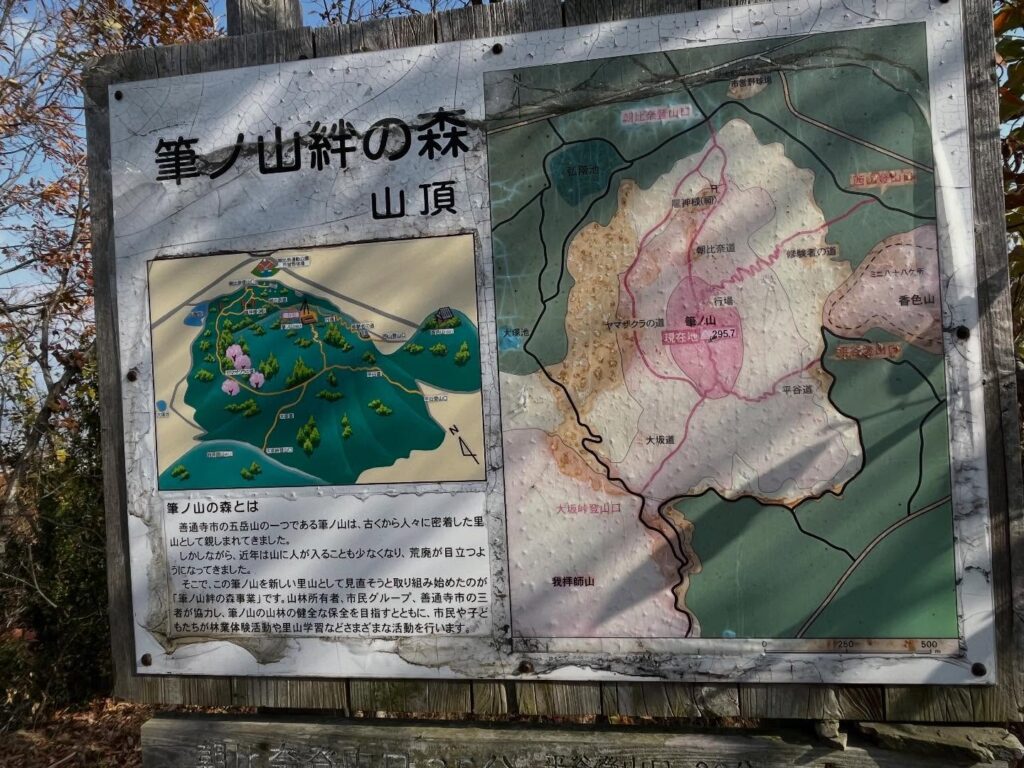
筆ノ山のMAP
筆ノ山登山口(平谷登山口)
活動データ(YAMAP)
活動データはYAMAPからご覧ください↓