滝山 お山へ行こうとは違う山みたい(愛媛県大洲市)標高約950m
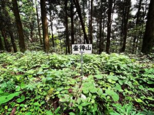
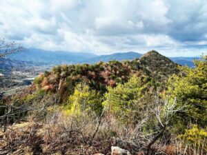
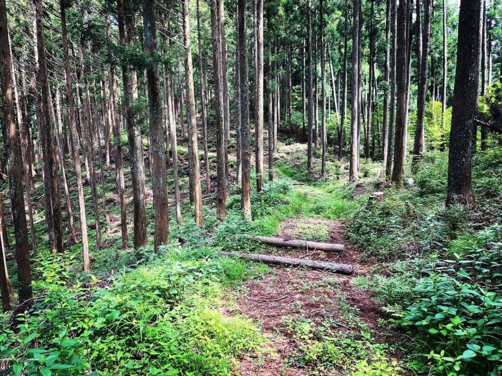
壺神山から尾根道を歩いて滝山に向かいます。
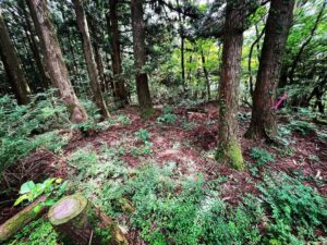
まずは降りて鞍部に。
YAMAPを利用していますが、踏み跡をしっかり歩けば、道に迷うことはありません。
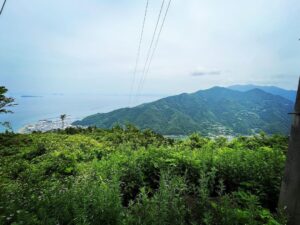
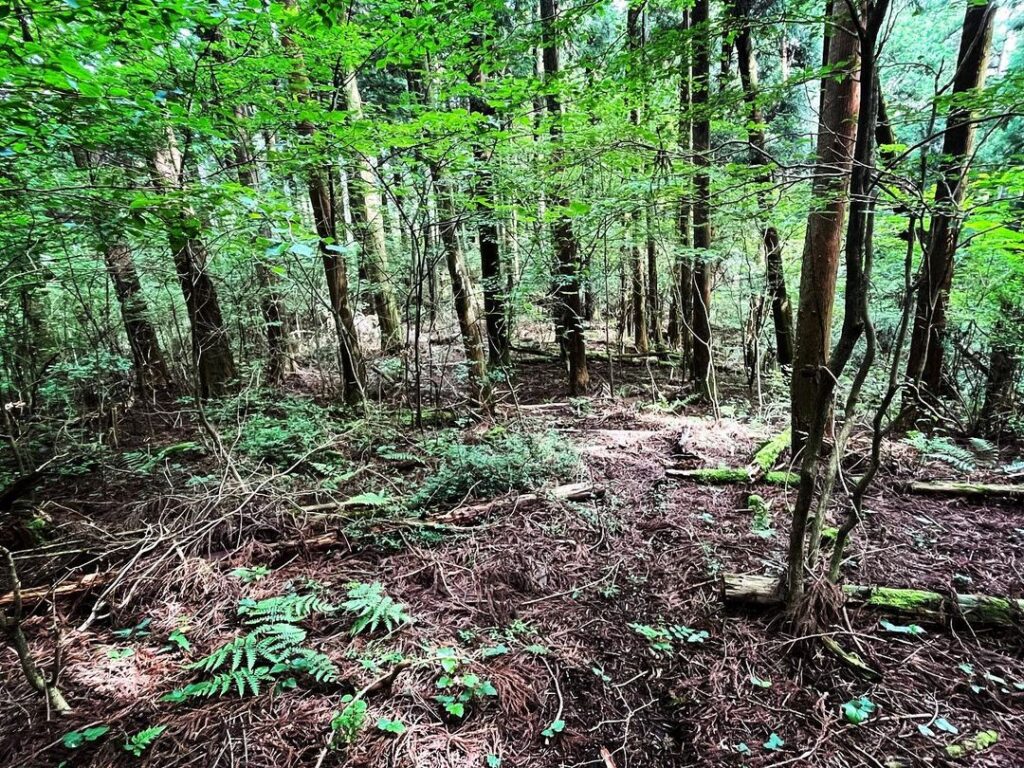
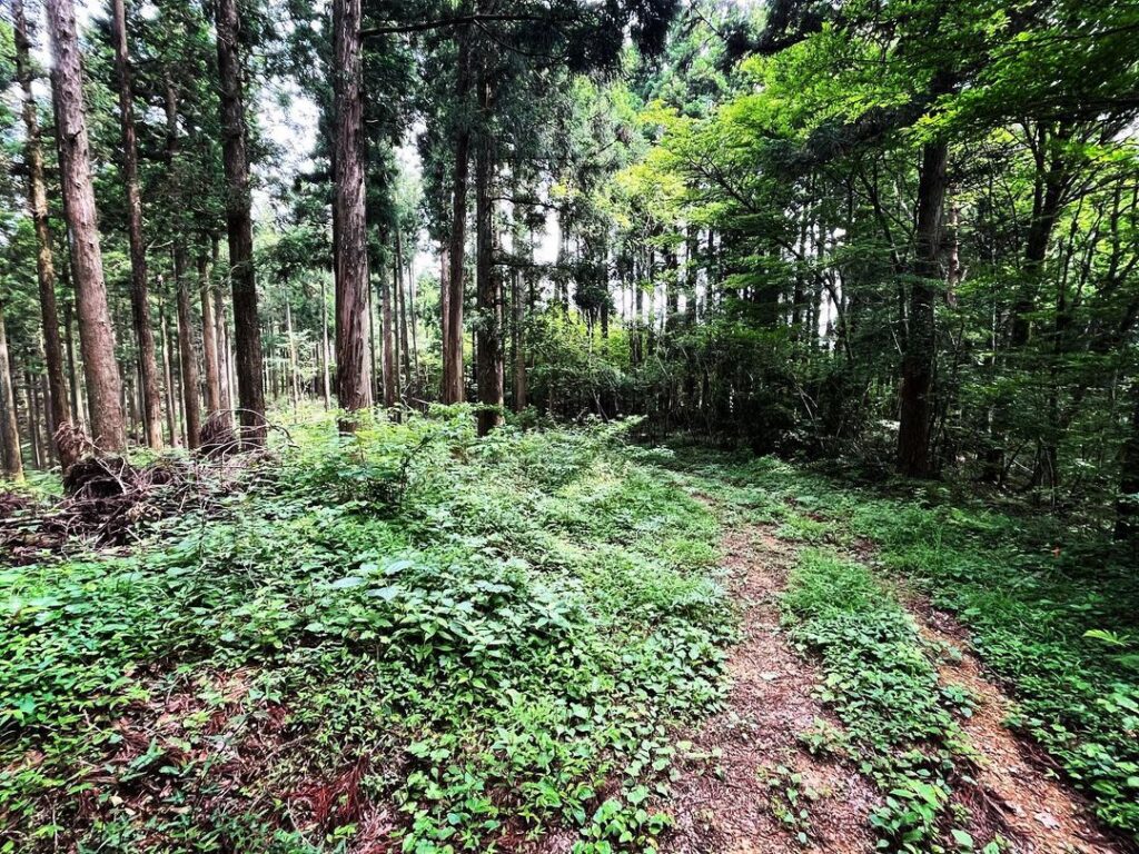
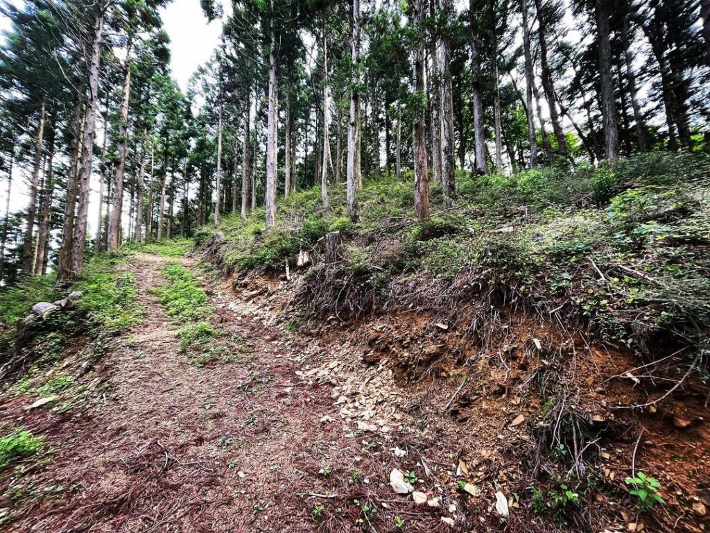
鞍部からは広めの林道に変わります。
林道をしばらく歩くと、滝山の登り口が見えてきます。
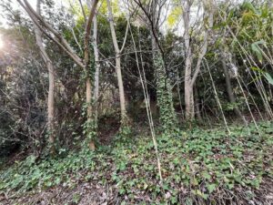
林道から見ると、小さな三角形の小山ですね。
この道をぐるぐると登っていくと山頂です。
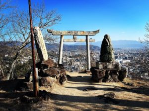
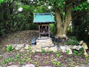
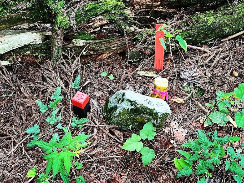
山頂には三角点ではなく岩があります。
こちらも残念ながら眺望はありません。
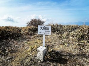
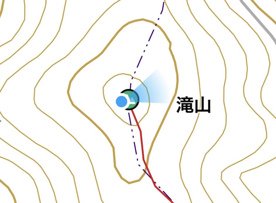
お山へ行こうのサイトでは標高726.18mですが、YAMAPでは標高約950m。
どうやら、違う山みたいです(汗)
この辺は滝山って、いくつかあるのでしょうね。
とりあえず、達成ということにします!
#滝山
#たきやま
#標高約950m
#お山へ行こうとは違う山
#滝山城跡かな
#標高726m
#愛媛の小山登り
#小山登り
#愛媛県
#大洲市
#長浜町
#YAMAP
From Tsubogamiyama, walk along the ridge path to Takiyama.
First, go down to the saddle.
We are using Yamap, but if you follow the footprints well, you will not get lost.
From the saddle, the trail turns into a wide forest path.
After walking along the forest road for a while, you will see the entrance to the ascent of Mt. Taki.
From the forest road, it is a small triangular mountain.
Follow this path in a circle and you will reach the summit.
There is a triangular point at the summit.
Unfortunately, there is no view here either.
According to the “Let’s go to the mountain” website, the elevation is 726.18 meters, but according to YAMAP, the elevation is about 950 meters.
Apparently, it is a different mountain.
I guess there must be several waterfall mountains in this area.
At any rate, I’ll call it an accomplishment!
滝山の登り口
滝山の登山口
滝山のMAP