寒川山 鋸山登山口近くにある小さなピークのお山(愛媛県四国中央市)標高817.0m
本日は、鋸山~七々木山の縦走。
その手前に、寒川山がありますので、まずはウォーミングアップ。
登山口から往復で10~15分ですので、鋸山の前後にぜひ!
鋸山登山口から林道を登っていくと、左手に寒川山登山口の標識があります。
山頂までの距離はほんのわずか。
3つの小さなピークがあり、3つ目が山頂です。
2つ目のピークは、尾根道とトラバース道があります。
道はわかりにくいところもありますが、基本的に尾根をまっすぐ歩いていけば、すぐに到着です。
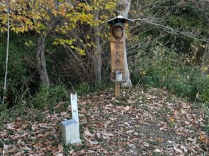
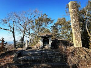
山頂には寒川山の標識と三角点。
眺望はありません。

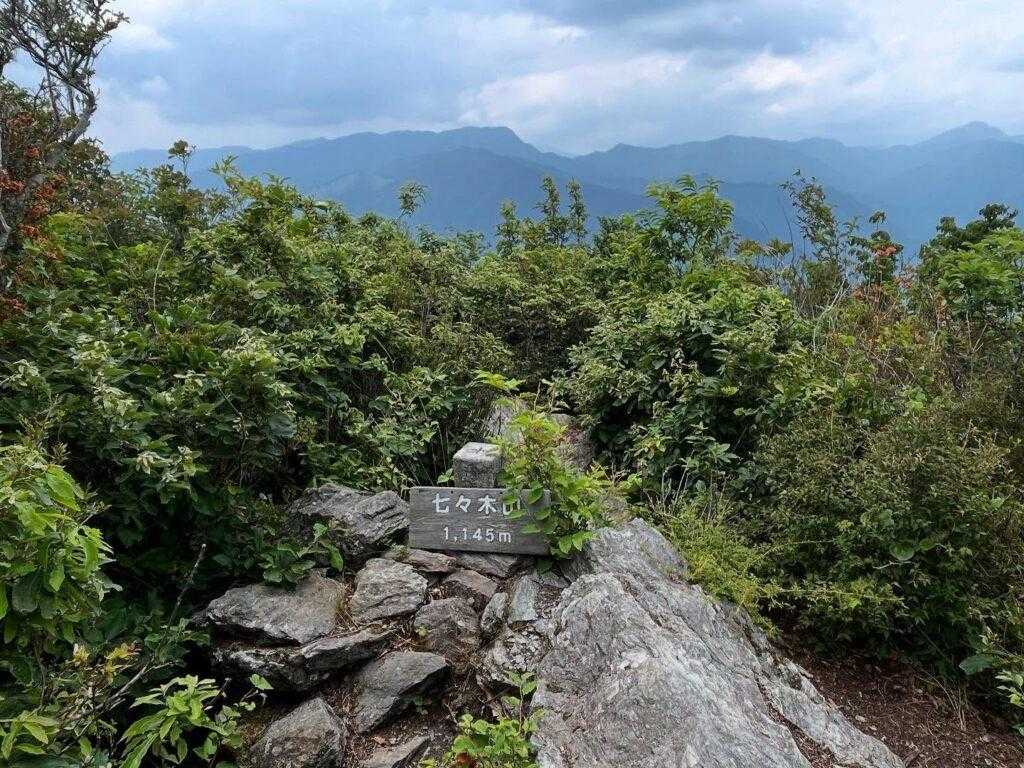
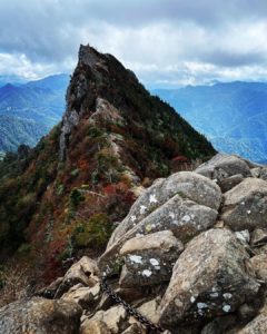
正面の木に鋸山の小さな標識があります


岩山の尾根道と、左側にトラバース道があります
行きはトラバース、帰りは尾根道を通りました


Today, we will traverse from Mt.Nokogiri to Mt.Nanaki.
Mt. Sangawa is located before the traverse, so we will warm up first.
It takes only 10-15 minutes from the trailhead for a round trip, so please visit before or after Mt.Nokogiri !
As you walk up the forest road from the Mt. Nokogiri trailhead, you will see a sign for the Mt. Sangawa.
The distance to the summit is only a short distance.
There are three small peaks, the third of which is the summit.
The second peak has a ridge trail and a traverse trail.
Some of the paths are difficult to find, but if you basically walk straight along the ridge, you will soon arrive at the summit.
At the summit is a sign for Mt. Sangawa and a triangular point.
There is no view.
#寒川山
#さんがわやま
#標高817m
#法皇山脈
#愛媛の小山登り
#小山登り
#愛媛県
#四国中央市
#三角点
鋸山の登山口
寒川山の登山口
寒川山のMAP
活動データ(YAMAP)
活動データはYAMAPからご覧ください↓