野津子山 ルート探索が必要なみかん山(愛媛県松山市)標高144m
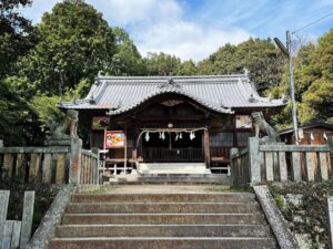
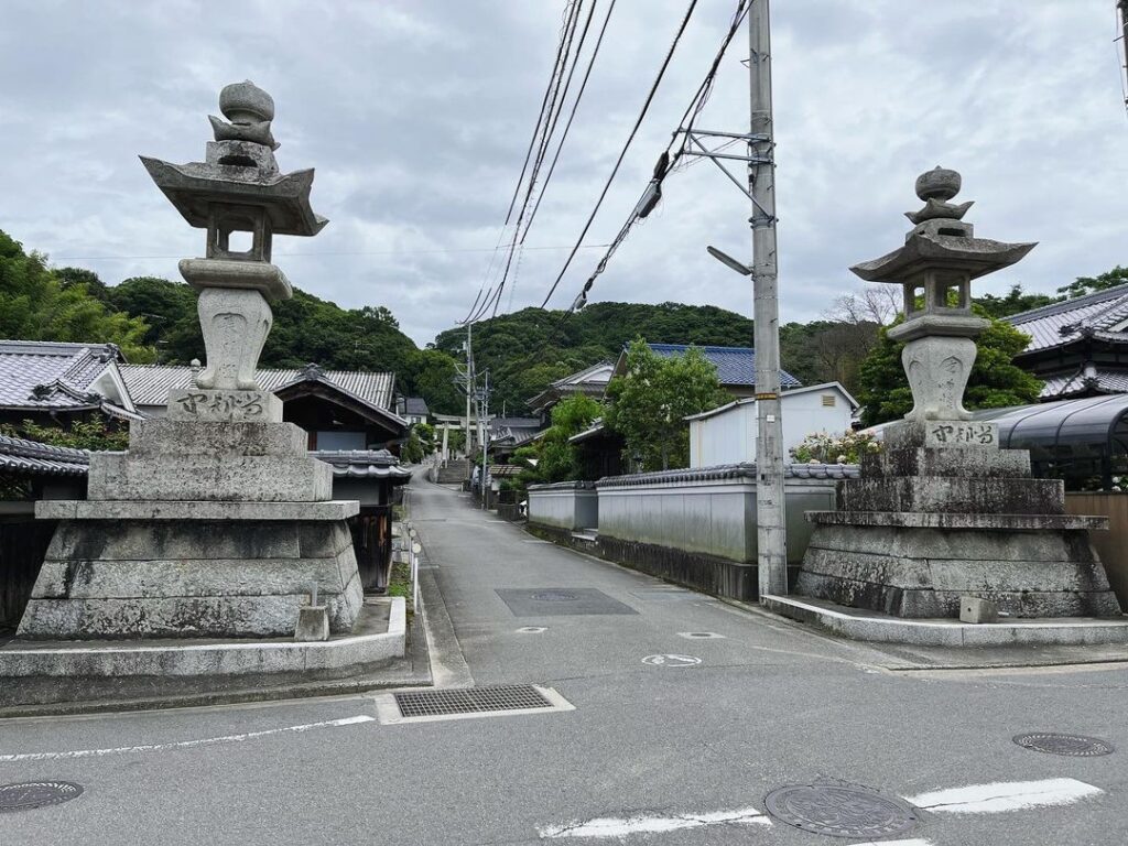
松山市吉藤にある三島神社(吉藤熊野神社)の横から山に登れる。
なんと、ここから御幸寺山まで縦走できるとのこと。
YAMAPで見つけて、早速、登ってきました。
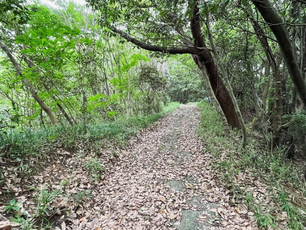
三島神社の入口角から、左手の道に入ります。
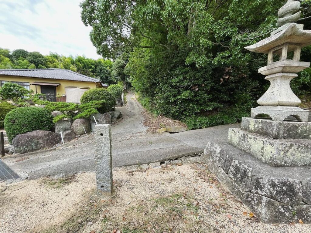
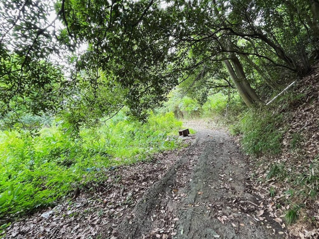
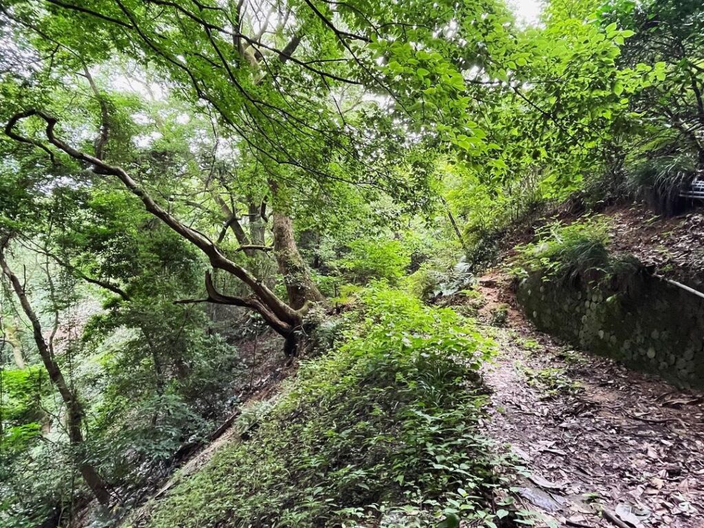
しばらくは舗装された道を登っていくのですが、山道に変わり、しばらく歩くと道がなくなります!
木々の隙間を抜けるのは無理っぽい。
YAMAPとにらめっこしながら道を探します。
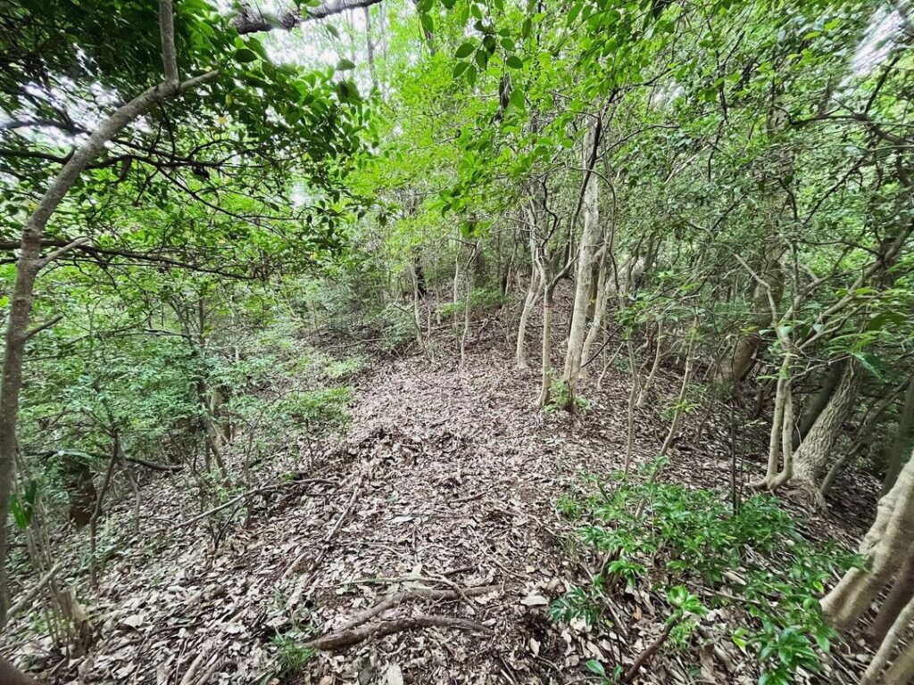
いったん下り、木々の下を抜け、尾根をめがけて登ります。
尾根に出ると、YAMAPを頼りに尾根歩き。
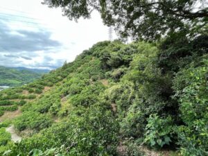
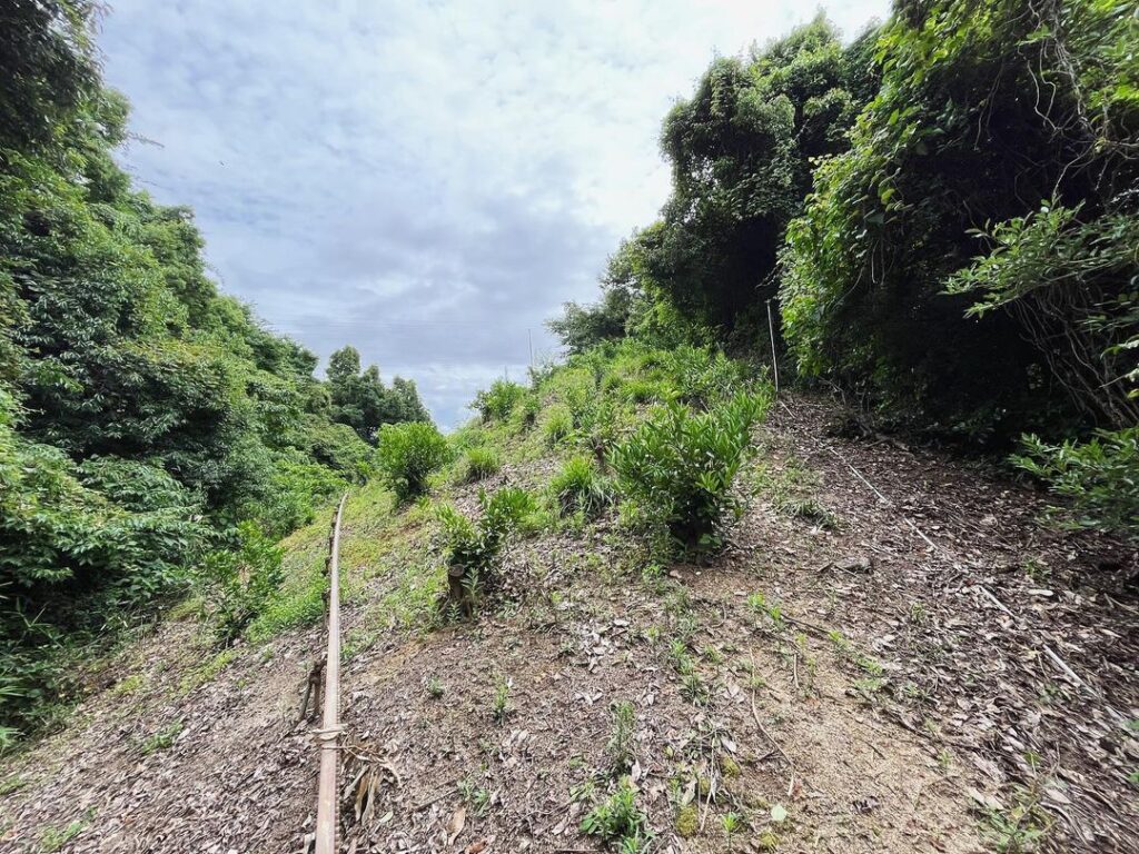
しばらく歩くと、みかん山に変わります。
みかんの木々の隙間って広いと思っていたのですが、これがなかなか歩きにくい。
できる限り、尾根伝いに登っていきました。
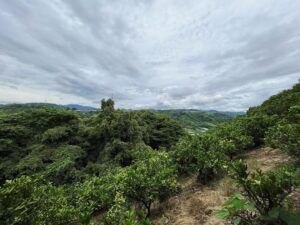
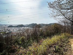
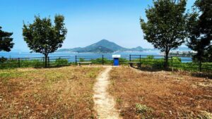
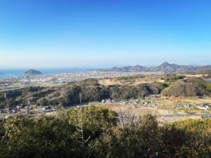
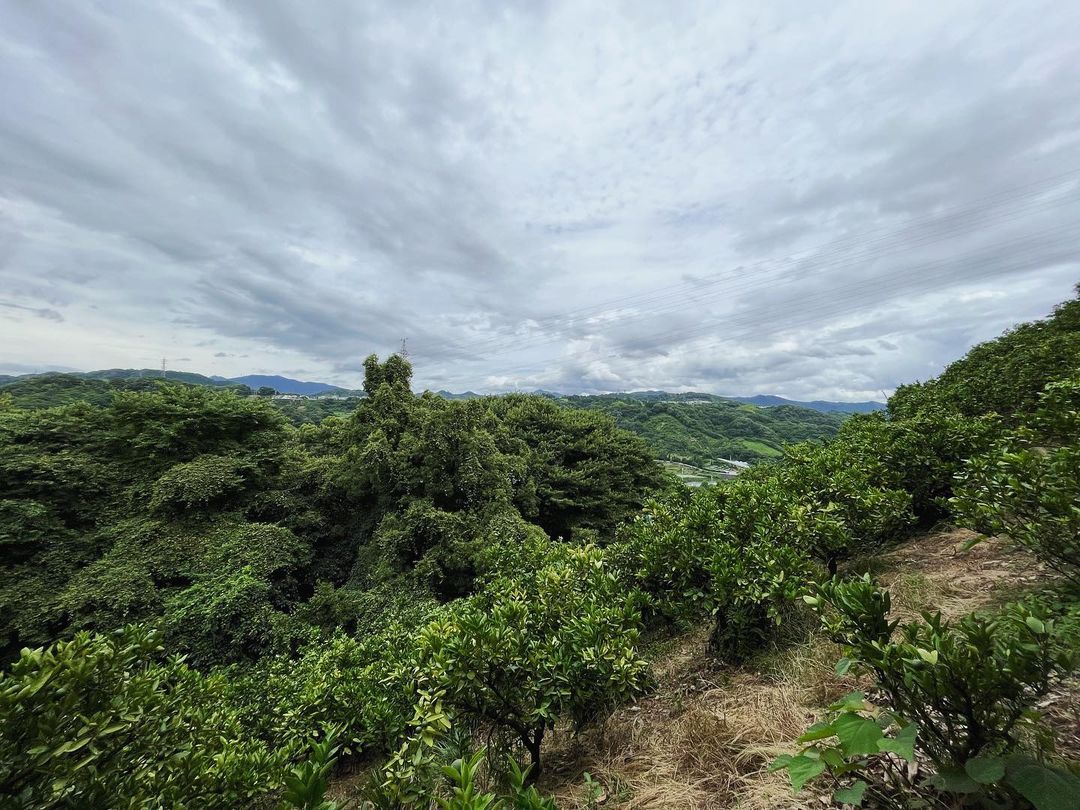
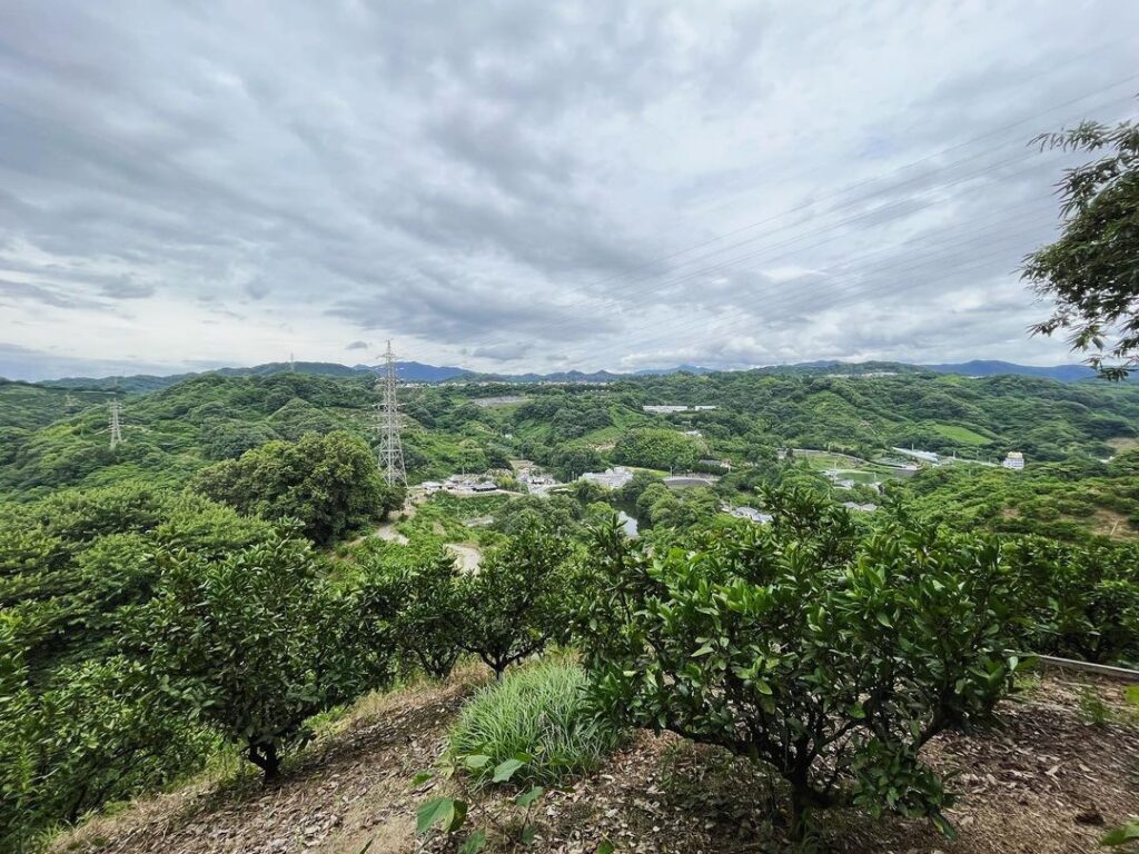
しばらく登ると、展望が開けた場所に。
みかん山から見下ろす景色。
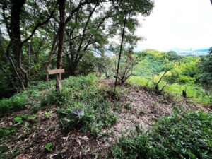
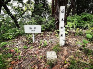
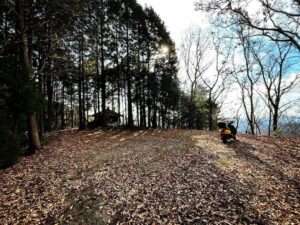
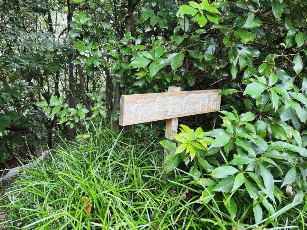
ふと、ふりかえると野津子山の標識がありました。
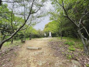
続いて、軽ノ山へ向かいます。
#野津子山
#のづこやま
#標高144m
#姫原丘陵
#愛媛の小山登り
#小山登り
#愛媛県
#松山市
#YAMAP
#YAMAP必須
#軽ノ山
#吉藤熊野神社
You can climb the mountain from the side of Mishima Shrine (Yoshifuji Kumano Shrine) in Yoshifuji, Matsuyama City.
To my surprise, I was told that one can traverse from here to Mt.Miyuki.
I found it on Yamap and climbed it as soon as I could.
From the entrance corner of Mishima Shrine, take the path on the left.
For a while we climbed along a paved path, but it turned into a mountain path and after a short walk, the path ran out!
It seems impossible to get through the gaps in the trees.
We looked for a path while staring at the YAMAP map.
We descend, pass under the trees, and climb toward the ridge.
Once on the ridge, we walk along the ridge, relying on Yamap.
After walking for a while, the trail turns into a tangerine mountain.
I thought the space between the mandarin trees was wide, but it was very difficult to walk.
We climbed along the ridge as far as we could.
After climbing for a while, we came to a place with an open view.
The view looking down from Mikan-yama.
Looking back, we saw a sign for Mt. Nozuko.
We continued on to Mt. Karuno.
野津子山の登山口
野津子山のMAP