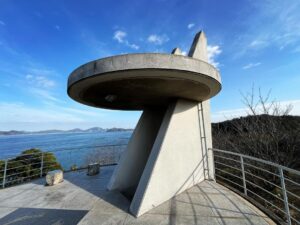
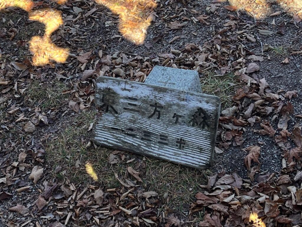
東三方ヶ森 林道歩きの後はハードで長い急登を楽しむ(愛媛県東温市・愛媛県今治市・愛媛県西条市)標高1232.7m
本日は松山ハイキングクラブの四国百名山の会。
東三方ヶ森に登ります。
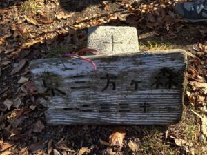
標高368mの「えひめ酒だる村跡」からスタート。
ここから登れるのは知りませんでした。
帰りは東三方ヶ森登山口まで下りて、林道を歩く周回コースです。
8時間オーバーが予想される山行。
なかなかのハードコースと聞いていますので楽しみです!
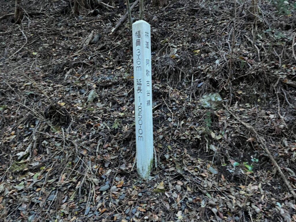
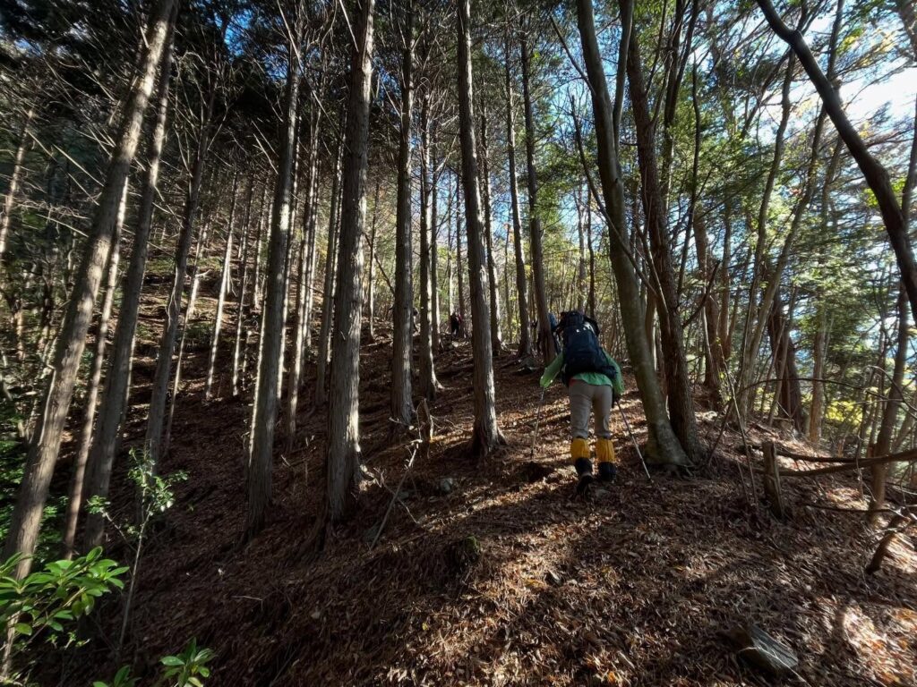
えひめ酒だる村跡からスタートして、まずは林道 阿歌古谷線をひたすら歩いていきます。
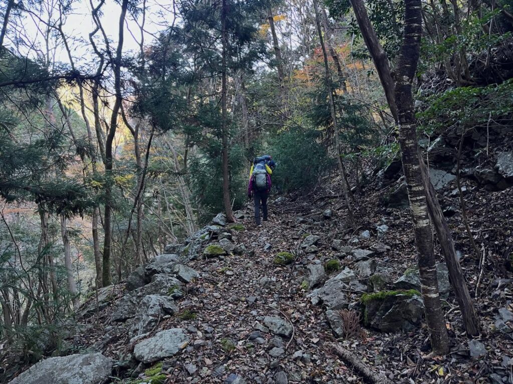
阿歌古渓谷から少しずつ高度を上げていきます。
良い道は歩くのは楽なのですが、登山としては退屈な時間でもあります。
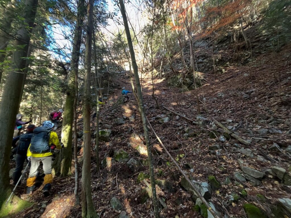
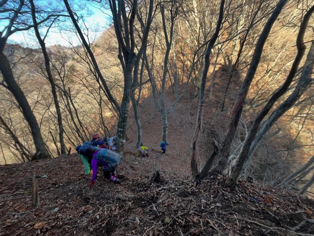
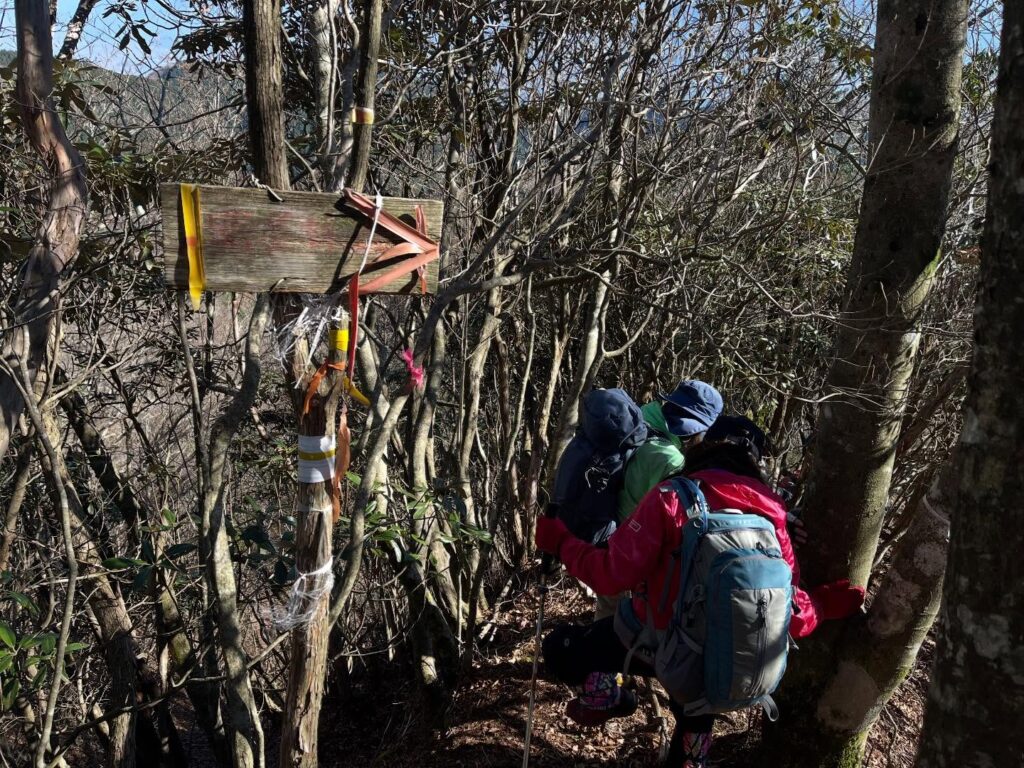
突然、道が細くなり、荒れた道がスタート。
ロープを張ってくれている、少し危険な場所も。
標高を下げて、再び渓谷に戻ります。
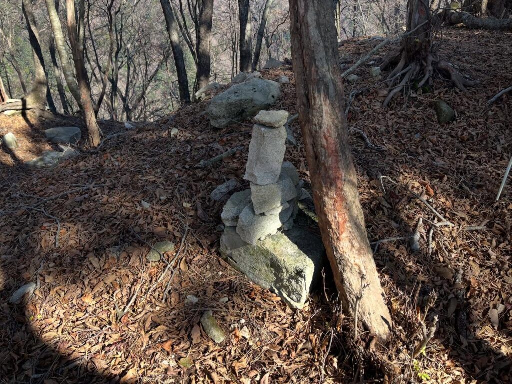
撮影するのを忘れてしまいましたが、小さな目印がある場所より、山の中へ急登していきます。
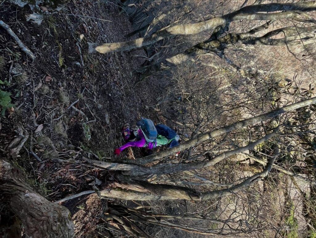
落ち葉も多く、ずっと片側の傾斜がきついので、転落しないように慎重に登っていきます。
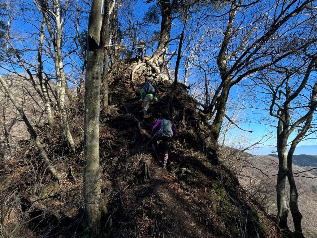
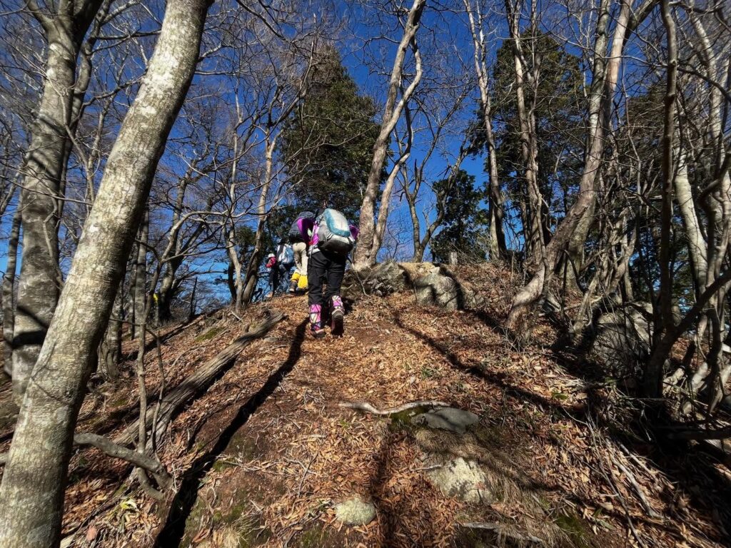
歩き始めて2時間、5分の3ほど歩いたなぁ、というところから更に本格的な急登がスタートです。
写真では伝わらない、かなりの傾斜(笑)
ここから3つ目のピークが東三方ヶ森なのですが、まずは1つ目のピークまでが長い!
やっとこさ1つ目のピークに着いて、さぁ、少し休憩と思ったのですが、時間の遅れもあり休憩なしで進むようです。頑張ろう!
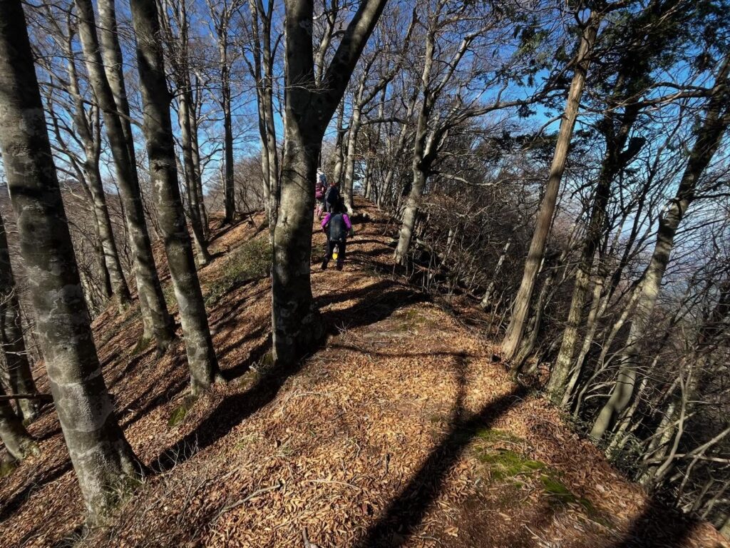
さらにワイルドな道を、歩き続け、2つ目のピークへ。
ここでようやく少し休憩です。
さて、ここからがこのルートの東三方ヶ森の醍醐味。
アスレチックのような、下りて、登ってのワイルドな道を繰り返す進んでいきます。
危険ですが、ここはかなり楽しい!
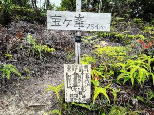
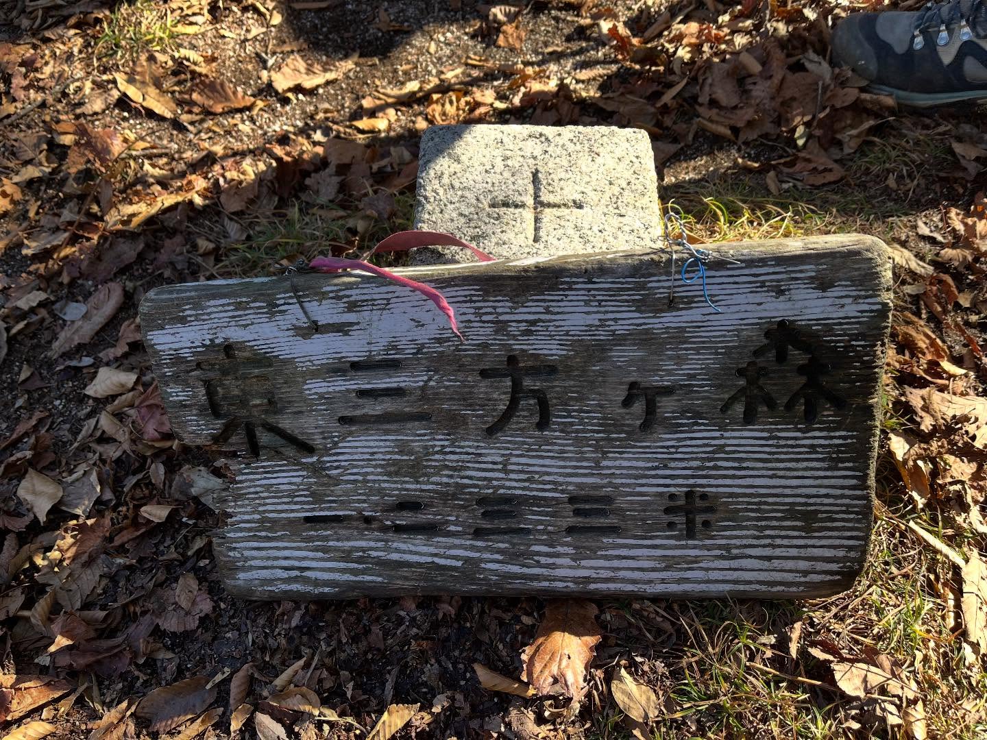
最後に急登を登ると周回ルートから東三方ヶ森への分岐点へ。
分岐点から東三方ヶ森へは、あっという間に到着です。
山頂は小さな広場になっていますが、団体で来ているので三角点以外の写真が全く取れず。
山頂からの風景の撮影も忘れてしまっておりました(汗)
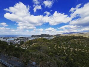
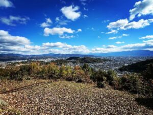
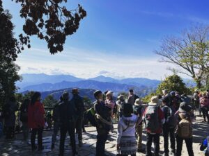
木々の葉が落ちて、隙間から周囲の山々が見えます。
今治側はきれいに眺めることができました。
帰路では来島海峡大橋も見えました。
山頂でお昼ごはん。
今回は大きなおにぎりを2つ持ってきましたが、正直、食べすぎでした。
次回からは気を付けよう…
この東三方ヶ森山頂から、さらに奥に進むと、中三方ヶ森、さらに進むと、南三方ヶ森まで続いています。
さすがに、日帰りでは難しい距離です。
三方ヶ森シリーズは、いつか歩いてみたいなと思いつつ、なかなか覚悟が必要そうです。
帰りは、東三方ヶ森登山口方面へ周回です。
岩山三角点までは、比較的平坦な道のりです。
標高が1000m以上をキープしていたので、ほとんど下らない感じです。
その後、一気に下りに入ります。
こちら側からのルートもキツイと聞いていましたが、こちらも登るのはハードでしょうね。
下りは、転倒に注意ですが、早い早い。
傾斜が急なので、あっという間に標高を下げていきます。
スタートから山頂まで登りは4時間半かかったのですが、ルートは違いますが、下りは山頂から東三方ヶ森登山口まで1時間半で下りることができました。
そして、ここから林道歩きがスタート。
なんとさらに1時間半、林道を歩きます。
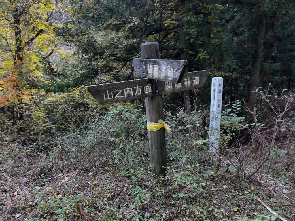
前半は荒れまくっている関谷林道を歩き、後半はきれいな道の山之内方面へ。
長いお散歩タイムを終えて、「えひめ酒だる村跡」に、無事に戻ってきました。
距離13.4km、休憩時間も入れて8時間30分の充実した登山でした。
ちなみに、携帯の電波は一切届きません!
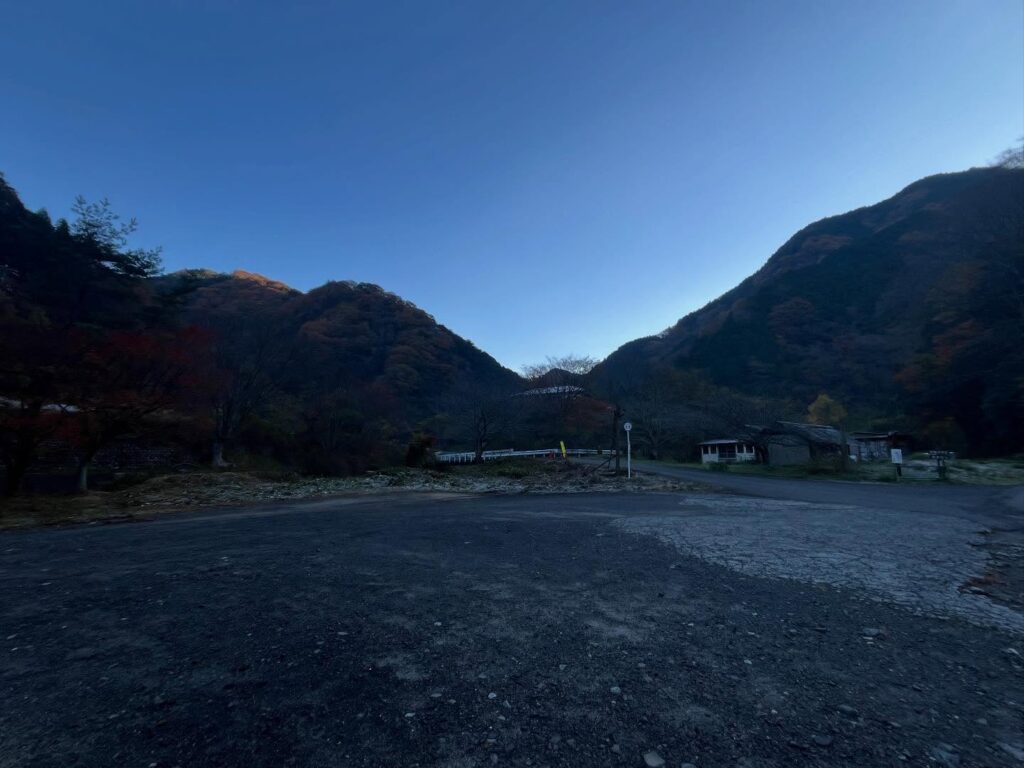
昔はキャンプ場や食事の場所など、有名なレジャーエリアだったとのこと
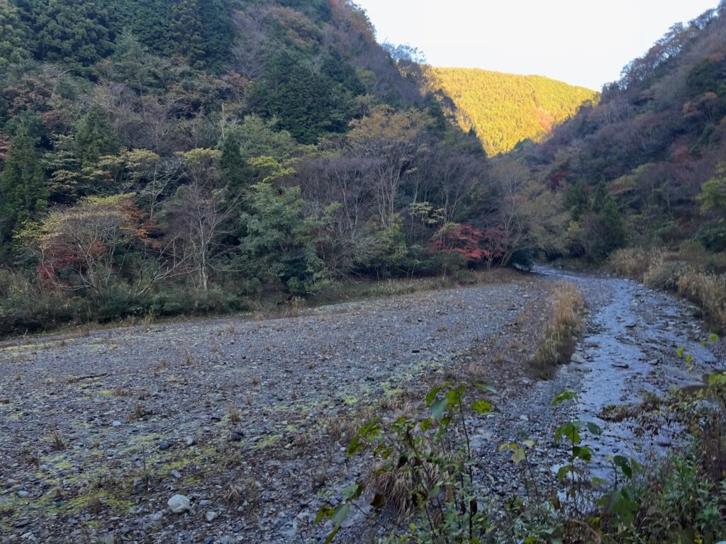
とても平和なお散歩コースです
ここから荒れた道に入っていきます

実はこの場所がかなり危険です
ロープも張ってくれていますので要注意
「えっ?ここを登っていくの?」
という場所からスタートです
景色はありませんが、ここは広めで平坦ですので
ぜひ、休憩を取ってくださいね
(私たちは休憩なしで…)
まずはすごい急な下りからスタート
アスレチックのようで楽しい!
次がいよいよ東三方ヶ森
周回ルートを少し外れて東三方ヶ森に向かいます
尾根道を少し歩くと到着!
皆さん、標識を持って写真撮影されていました

2個は多すぎましたね(汗)
帰りの体力のため!と胃に押し込みました
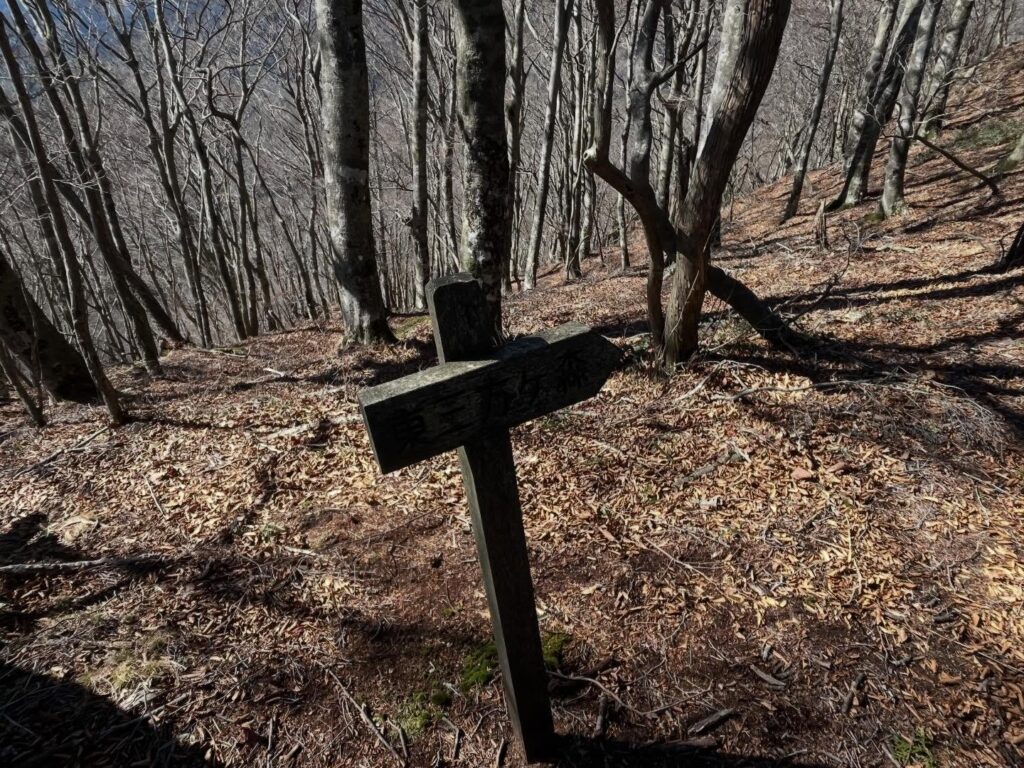
この矢印標識は要チェック!
まっすぐ方向にきれいな尾根道が続きますが
絶対に「右」に進みましょう!
山を下りられなくなってしまいます

東三方ヶ森登山口まで下りてきました
ここから荒れた関屋林道を歩きます
ここからまだまだ歩くのですよね(汗)
#東三方ヶ森
#ひがしさんぽうがもり
#標高1233m
#愛媛の小山登り
#小山登り
#愛媛県
#今治市
#玉川町
#西条市
#丹原町
#東温市
#山之内
#高縄半島
#高縄山系
#四国百名山
#シャクナゲ
#阿歌古渓谷
#松山ハイキングクラブ
#MHC
Today is the Shikoku Hundred Famous Mountains meeting of the Matsuyama Hiking Club.
We’re climbing Higashi-Sanpougamine.
Starting from the “Ehime Sake Barrel Village Ruins” at 368m elevation.
I didn’t know you could climb from here.
The return is a loop course descending to the Higashi-Mikatagamine trailhead and walking along the forest road.
This hike is expected to take over 8 hours.
I hear it’s quite a challenging course, so I’m looking forward to it!
Starting from the Ehime Sake Barrel Village Ruins, we first walk steadily along the forest road, the Agokoya Line.
We gradually gain elevation from the Agoko Valley.
The good trail is easy to walk, but it’s also a bit boring as a mountain hike.
Suddenly, the path narrows, and a rough trail begins.
There are slightly dangerous spots where ropes have been set up.
We descend in elevation and return to the valley again.
I forgot to take photos, but beyond a small marker, we began a steep climb deep into the mountains.
With lots of fallen leaves and a consistently steep slope on one side, we climbed carefully to avoid slipping.
About two hours in, feeling we’d covered roughly two-thirds of the way, the real steep climb began.
The slope was incredibly steep—something photos can’t convey.
The third peak here is Higashi-Sanpōga-mori, but getting to the first peak alone was a long haul!
Finally reaching the first peak, I thought, “Alright, time for a short break,” but due to being behind schedule, we pressed on without stopping. Let’s push through!
We continued along an even wilder path to the second peak.
Here, we finally got a short break.
Now, this is where the real thrill of the Higashi-Sanpougamori section of this route begins.
We proceeded along a wild, athletic-like path, repeatedly descending and climbing.
It was dangerous, but incredibly fun!
After a final steep climb, we reached the junction branching off the loop trail to Higashi-Sanpougamori.
From the junction, it was just a short hop to Higashi-Sanpougamori.
The summit is a small clearing, but since we were in a group, I couldn’t get any photos except of the triangulation point.
I even forgot to take pictures of the view from the top (sweat).
The leaves had fallen from the trees, offering glimpses of the surrounding mountains through the gaps.
The view towards Imabari was beautifully clear.
On the way back, I could also see the Kurushima Kaikyo Bridge.
Lunch at the summit.
This time I brought two large rice balls, but honestly, it was too much.
I’ll be more careful next time…
From this Higashi-Sanpōga-mori summit, continuing further leads to Naka-Sanpōga-mori, and beyond that, all the way to Minami-Sanpōga-mori.
It’s definitely too far for a day trip.
I’d love to hike the entire Sanpougamori series someday, but it seems like it would require some serious commitment.
For the return, we looped back towards the Higashi-Sanpougamori trailhead.
The path to the Iwayama triangulation point was relatively flat.
Since the elevation stayed above 1000m, it hardly felt like descending.
After that, the descent started steeply.
I’d heard the route from this side was tough too, and climbing it would probably be hard.
Descending requires caution against slipping, but it’s fast, fast.
The steep slope rapidly loses elevation.
The ascent from the start to the summit took four and a half hours. Taking a different route down, however, I descended from the summit to the Higashi-Sanpougamori trailhead in just an hour and a half.
Then, the forest road walk began.
We walked another hour and a half on the forest road.
The first half was along the extremely rough Sekiya Forest Road, and the second half was on a nice path towards the Yamanouchi area.
After this long stroll, we safely returned to the “Ehime Sake Barrel Village Ruins”.
It was a fulfilling hike covering 13.4km, taking 8 hours and 30 minutes including breaks.
By the way, there was absolutely no cell phone reception!
東三方ヶ森の登山口(えひめ酒だる村跡)
東三方ヶ森のMAP
東三方ヶ森登山口
活動データ(YAMAP)
活動データはYAMAPからご覧ください↓