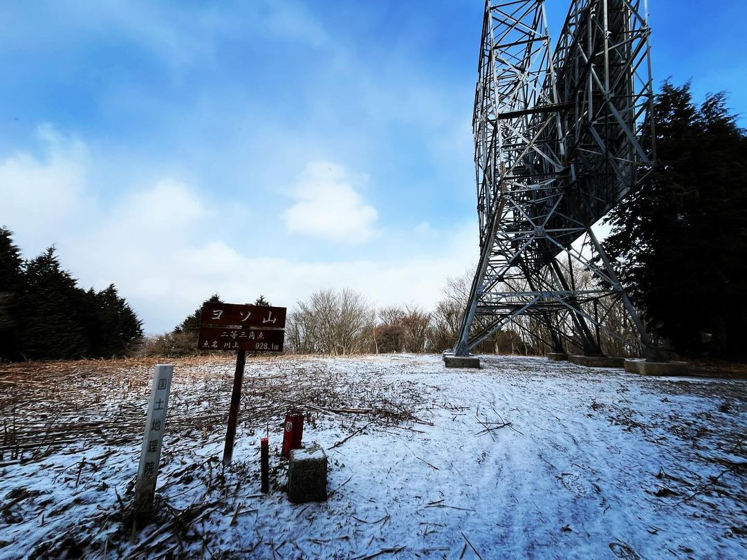
ヨソ山 反射板がお出迎え、林道経由だと気軽に登れます(愛媛県東温市)標高928.1m
本日はヨソ山に。
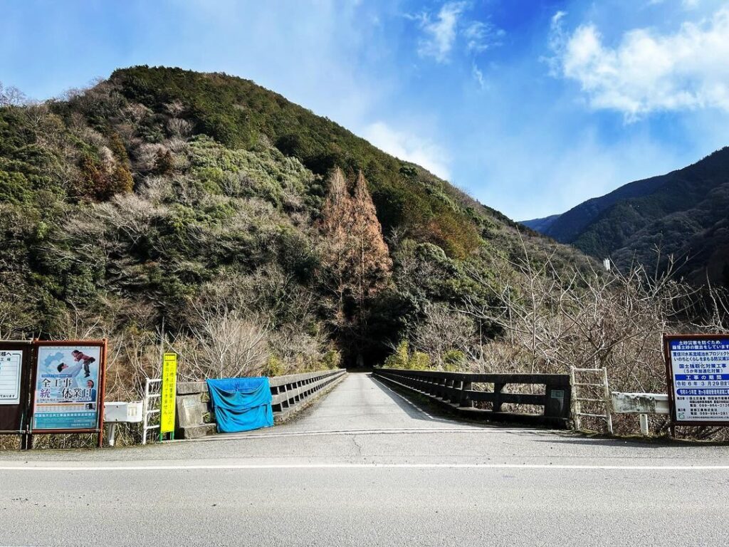
県道152号線の荒木谷バス亭から東の山側へ入っていきます。
(令和6年3月29日までは崩落土砂の撤去工事がなされていますのでご注意ください。)
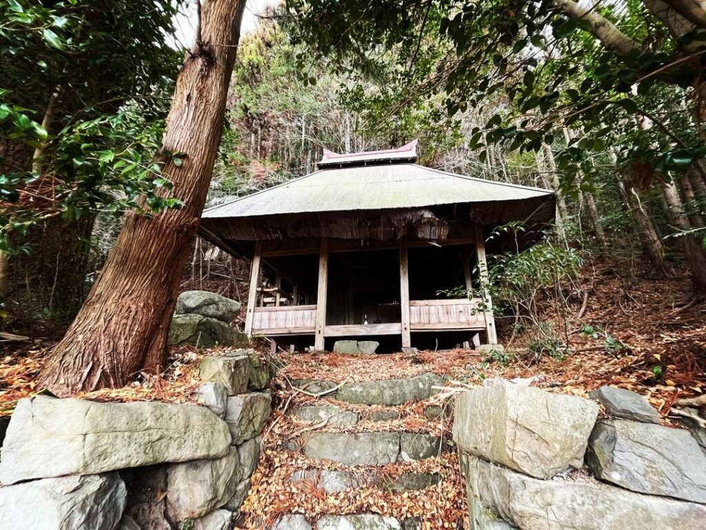
まずは、麓地区にある五十八社大明神まで、ほぼ1本道をひたすら登っていきます。
MAPで見ると近いのですが、思ったより距離があります。
五十八社大明神は、五十八面の神面をつけた神輿で有名なのだとか。
ご挨拶だけして先に進みます。
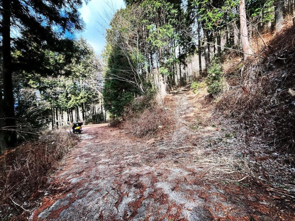
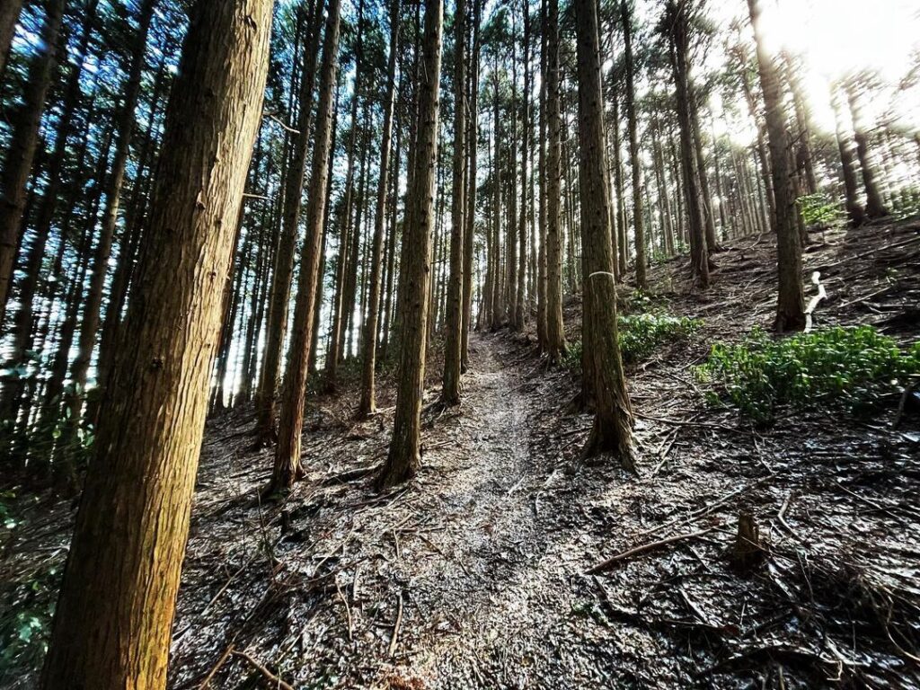
林道をひたすら進みます。
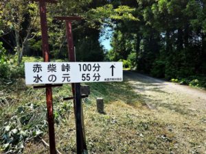
いくつか登り口があり、どこを登ってもヨソ山に行けるのですが、今回は林道の終点まで進んでみました。
終点の手前にも登山口がありました。
ここがヨソ山に最も近い登山口です。
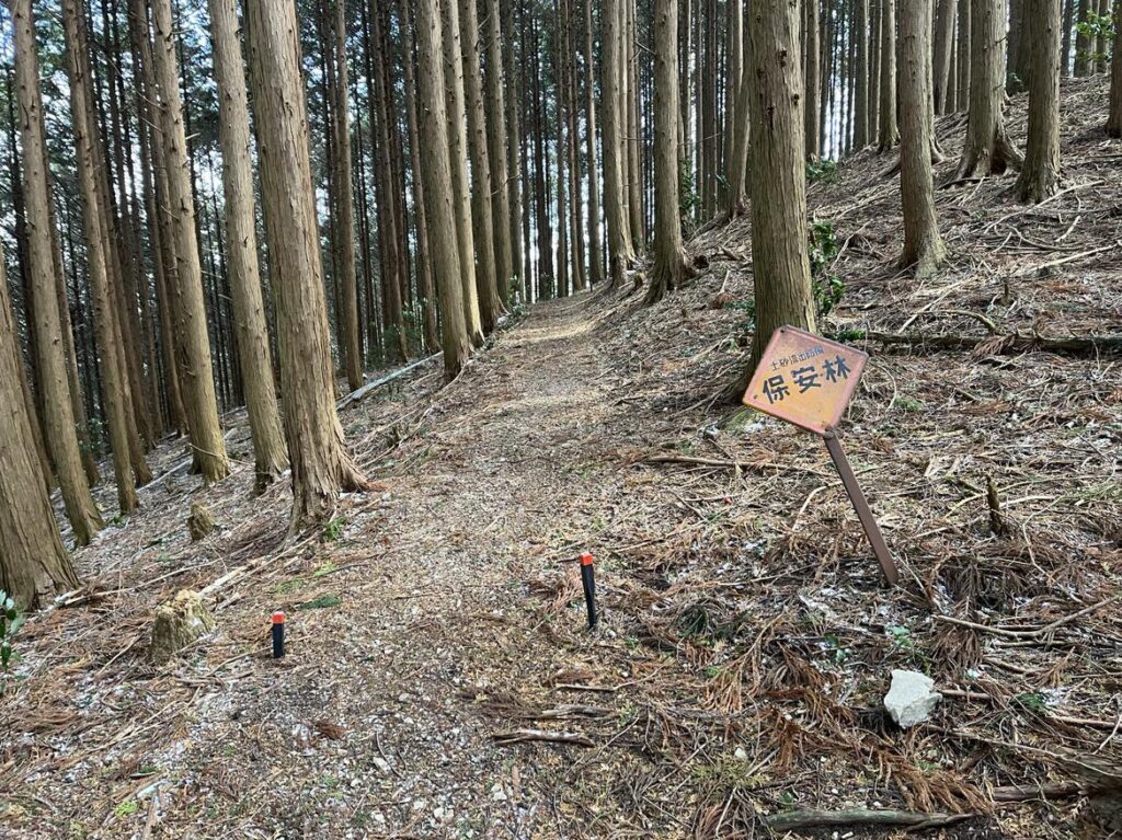
まずは尾根まで登っていきます。
基本的に杉木林ですが、送電鉄塔や反射板もあるため、巡視路がしっかりしています。
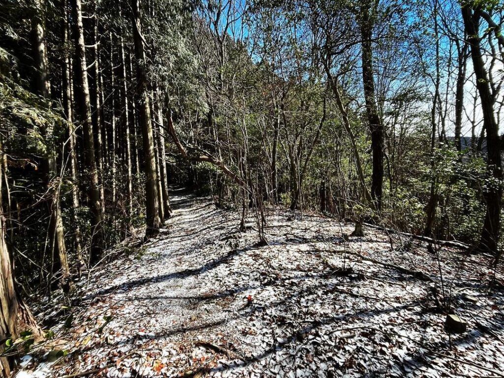
尾根に出たら、ヨソ山に向けてひたすら杉木の中を進むのみです。
今日は気温が一気に下がり、雪が振り、うっすらと積もっています。
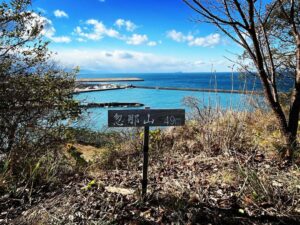
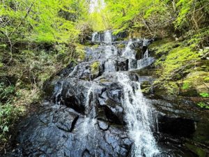
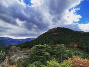
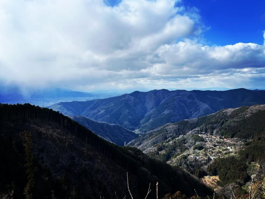
途中、開けた場所があり、福見山や明神ヶ森の眺望を楽しめます。
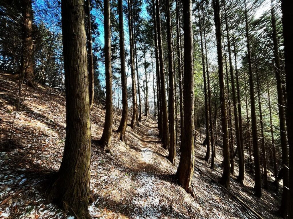
もうしばらく杉木の中を進んだら、最後の登りへ。
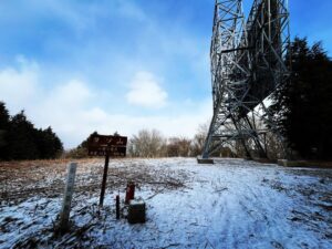
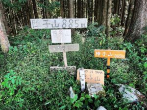
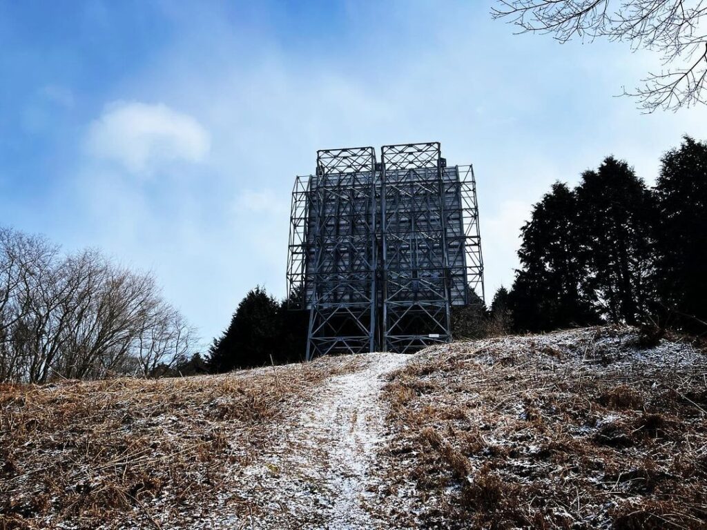
登り切ると、ヨソ山反射板が出迎えてくれます。
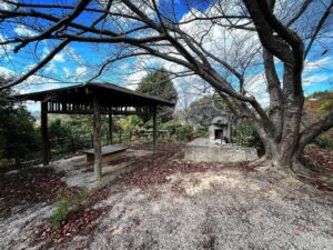
反射板前は広場になっています。
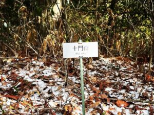
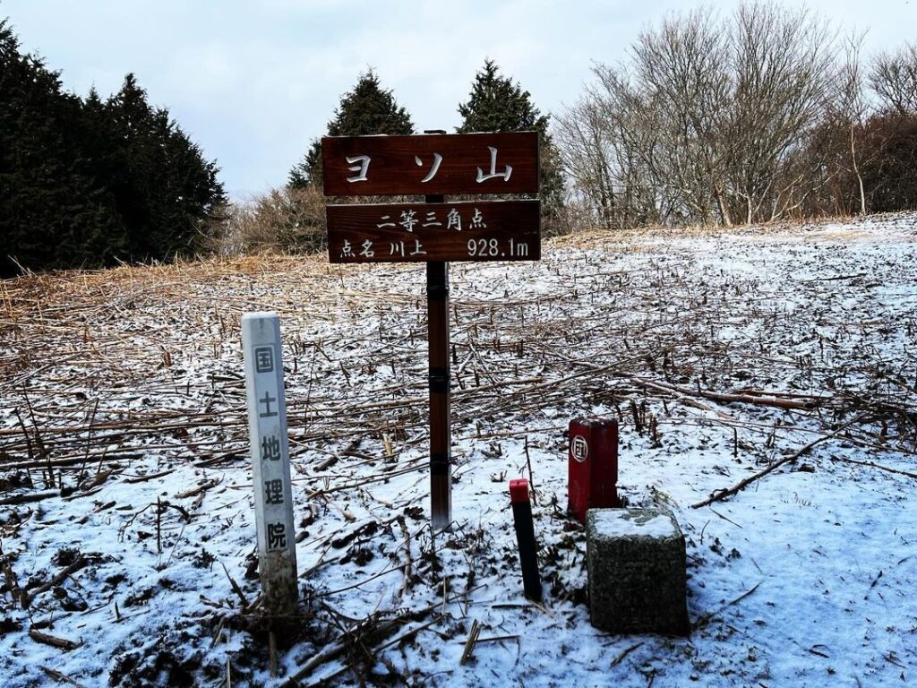
以前は、反射板に「ヨソ山」の標識がかかっていたようですが、現在はしっかりとした標識が。
ヨソ山山頂は、眺望はないのですが、雪化粧の山が隙間から見えました。
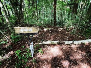
さらに道が続いていたのですが、YAMAPを見ると、先には経座ヶ森や皿ヶ森の表示が。
続いているようでしたら、今度、チャレンジしてみたいですね。
道はしっかりしていますが景色がずっと同じなのですよね
雪が降っていて寒かったです
#ヨソ山
#よそやま
#標高928m
#愛媛の小山登り
#小山登り
#愛媛県
#東温市
#反射板
#ヨソ山反射板
#林道
#五十八社大明神
#県道152号線
#三角点
Today, we are going to Yoso Mountain.
Enter the mountain side east of the Arakidani bus stop on Prefectural Route 152.
(Please note that the road is under construction until March 29, 2024 to remove fallen earth and sand.)
First, we will climb almost straight up to the 58th shrine, located in the foothills area.
The distance is longer than expected, although it is closer than it looks on the map.
I heard that the 58-way shrine is famous for its mikoshi (portable shrine) with 58 sacred masks.
We just greeted him and proceeded onward.
We continued along the forest road.
There are several trailheads up to Yoso Mountain, but this time we continued until we reached the end of the path.
There was another trailhead before the end of the road.
This is the closest trailhead to Mt. Yoso.
First, we climbed up to the ridge.
It is basically a cedar forest, but there are also power towers and reflectors, so the path is well marked.
Once on the ridge, it is just a matter of continuing on through the cedar trees toward Mt. Yoso.
Today, the temperature has dropped dramatically, and there is a light dusting of snow.
Along the way, there is an open area where we can enjoy the view of Mt. Fukumi and Mt. Myoujin.
After a short while more in the cedar trees, we will make the final ascent.
As you reach the top of the climb, you will be greeted by the Yosoyama Reflector.
In front of the reflector is a square.
The reflector used to be marked with a “Mt. Yoso” sign, but now there is a solid sign.
There is no view of the summit of Mt. Yoso, but snow-capped mountains could be seen through the gaps.
The path continued on, but when we looked at the YAMAP, we saw indications of Kyozagamori and Saragamori ahead.
If it seems to continue, I would like to challenge it next time.
ヨソ山の入り口(荒木谷バス亭)
五十八社大明神のMAP
ヨソ山の登山口(林道終点)
ヨソ山のMAP