大磨山 ケタ山から大磨山へ 尾根道の終点のお山(愛媛県東温市)標高648m
ケタ山から大磨山へ。
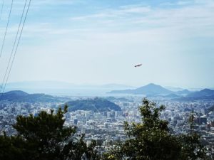
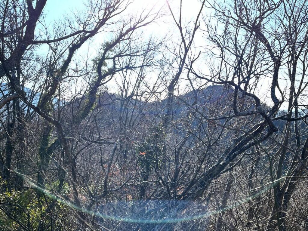
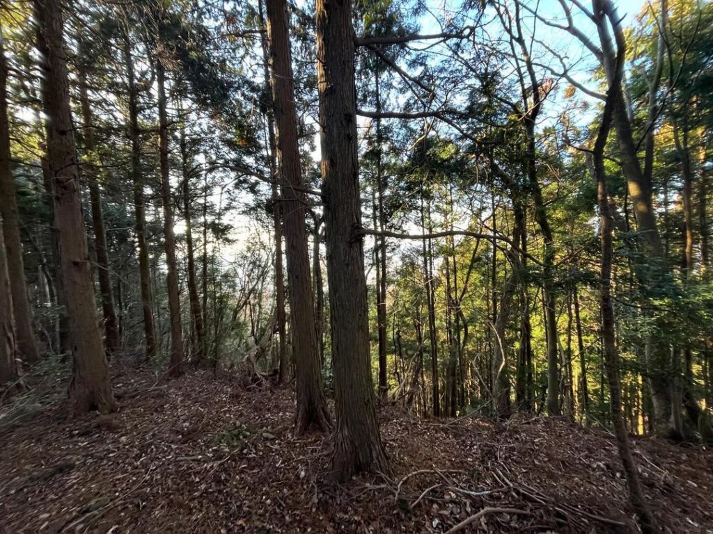
ケタ山の木々の間から大磨山が見えています。
尾根歩きなので仕方がないのですが、また下りから。
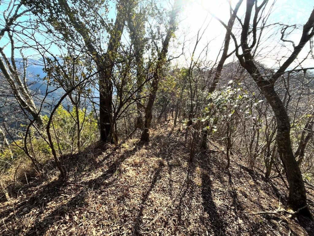
下ったら尾根道を進んでいきます。
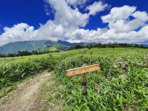
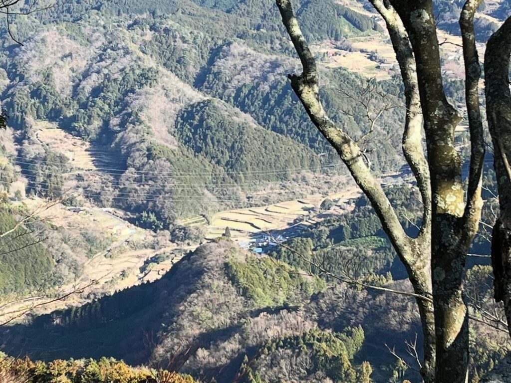
左手を見ると、井内の棚田が眺められます。
長い棚田ですね。
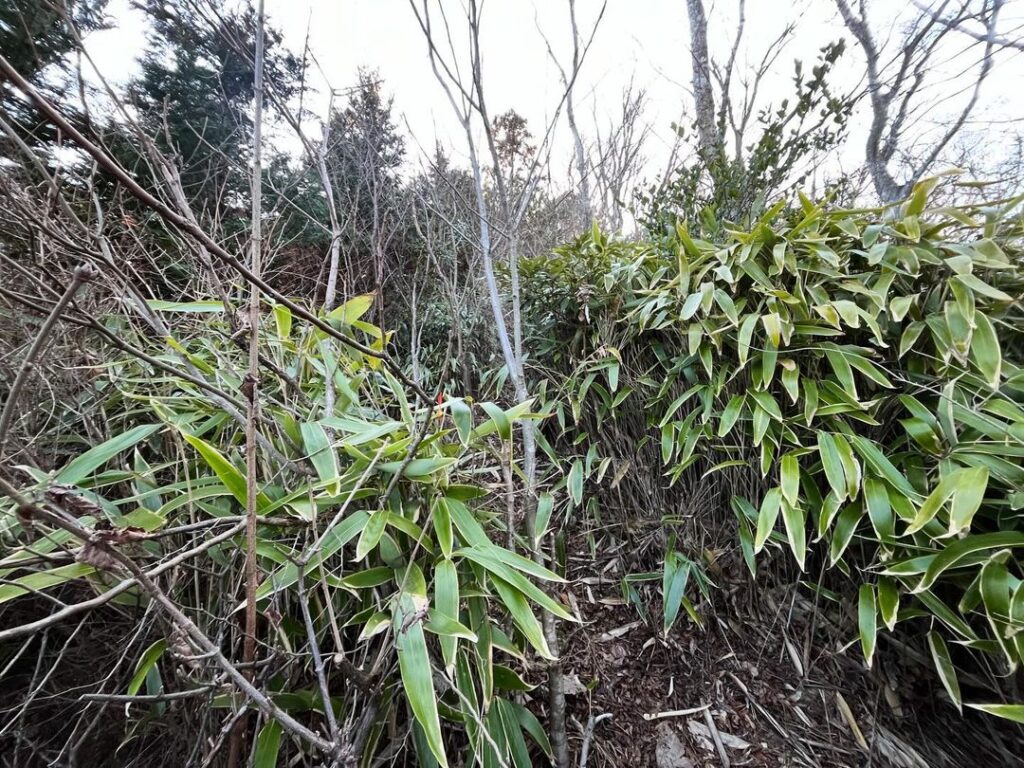
しばらく進むと、このルートで初めての笹道に。
既に背丈ほどの高さですので、夏は厳しいかもです。
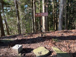
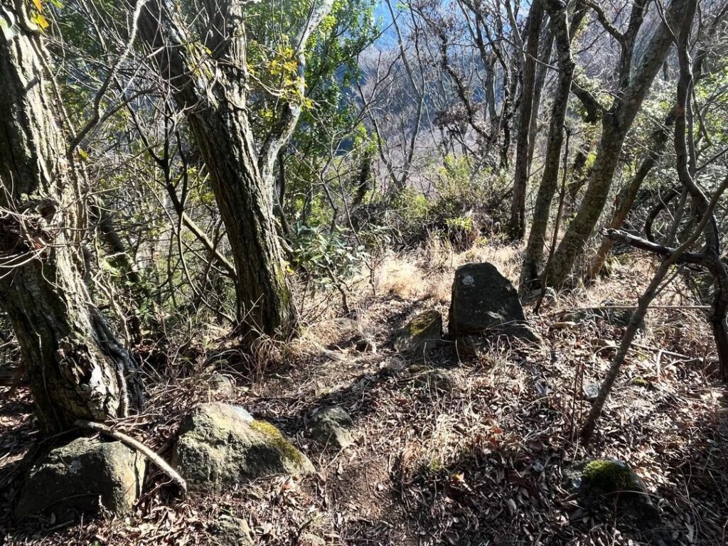
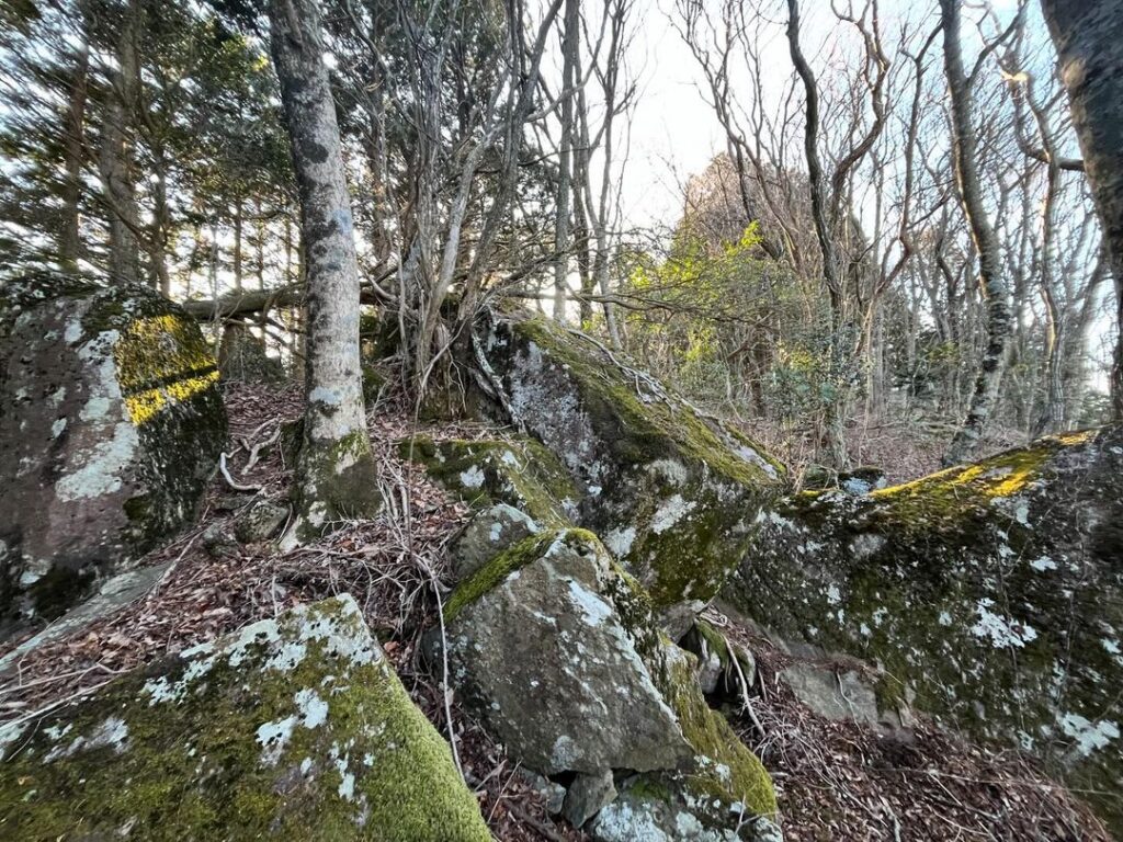
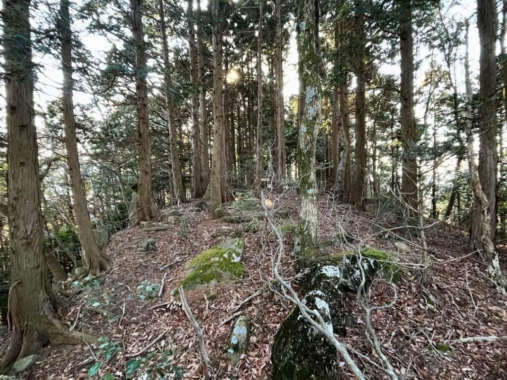
さらに、いくつかの岩場の小ピークを越えていきます。
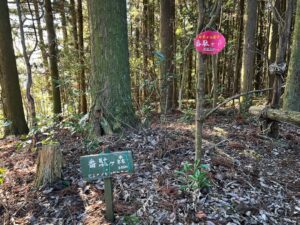
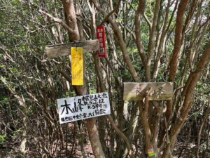
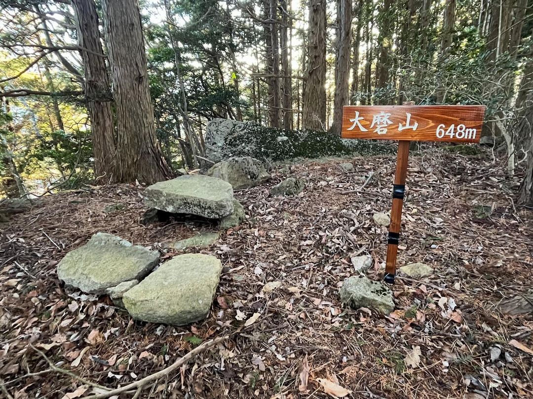
最後のピークを登ると、大磨山の標識と、平石を積んだ祠らしきものが。
先輩方の記録を見ると、かなり荒れた山のようだったのですが、きれいな標識もあり、しっかり整備されています。
大磨山は眺望がないのが残念ですが、登山口から大磨山まで、3つの山頂のある、変化のある良い尾根道でした。
笹の中に木が飛び出していて、帰路で足をやられました…
狭い感じです

#大磨山
#おおまやま
#標高648m
#志やはみ山
#愛媛の小山登り
#小山登り
#愛媛県
#東温市
From Mt. Keta to Mt. Oma.
Mt. Omayama can be seen through the trees on Mt. Keta.
It is a ridge walk, so we have no choice but to start descending again.
After descending, continue along the ridge path.
Looking to the left, you can see the terraced rice fields of Iuchi.
It is a long terraced rice field.
After a while, you will come to the first bamboo grass path on this route.
It is already as tall as you are, so it may be tough in summer.
Further on, you will cross several rocky small peaks.
Climbing the last peak, we saw a sign for Omayama (Mt. Omama) and what appeared to be a shrine made of flat stones.
According to the records of our predecessors, it looked like a rather rough mountain, but it is well maintained with clean signs.
Unfortunately, there is no view of Mt. Omama, but from the trailhead to Mt. Omama, it was a nice and varied ridge trail with three summits.
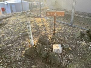
塩ヶ森ふるさと公園 山頂駐車場のMAP
番駄ヶ森、ケタ山、大磨山の登山口
番駄ヶ森のMAP
ケタ山のMAP
大磨山のMAP