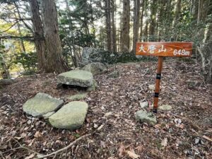
番駄ヶ森 塩ヶ森から連なるお山(愛媛県東温市)標高605m
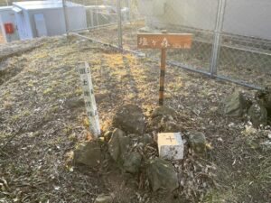
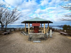
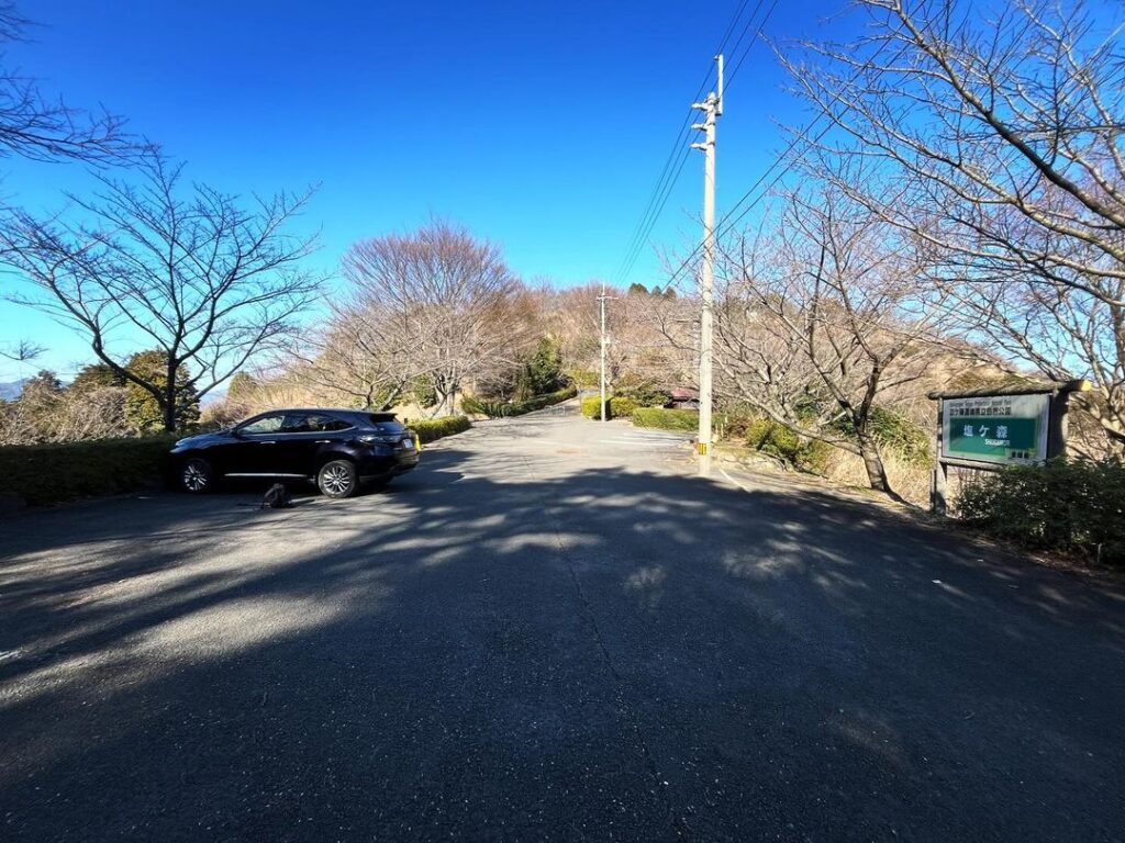
本日は塩ヶ森ふるさと公園の頂上駐車場からスタート。
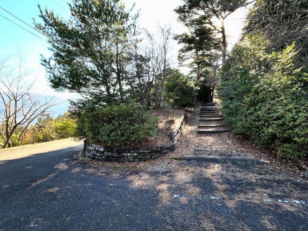
ずっと気になっていた、塩ヶ森と反対側の番駄ヶ森方面へ。
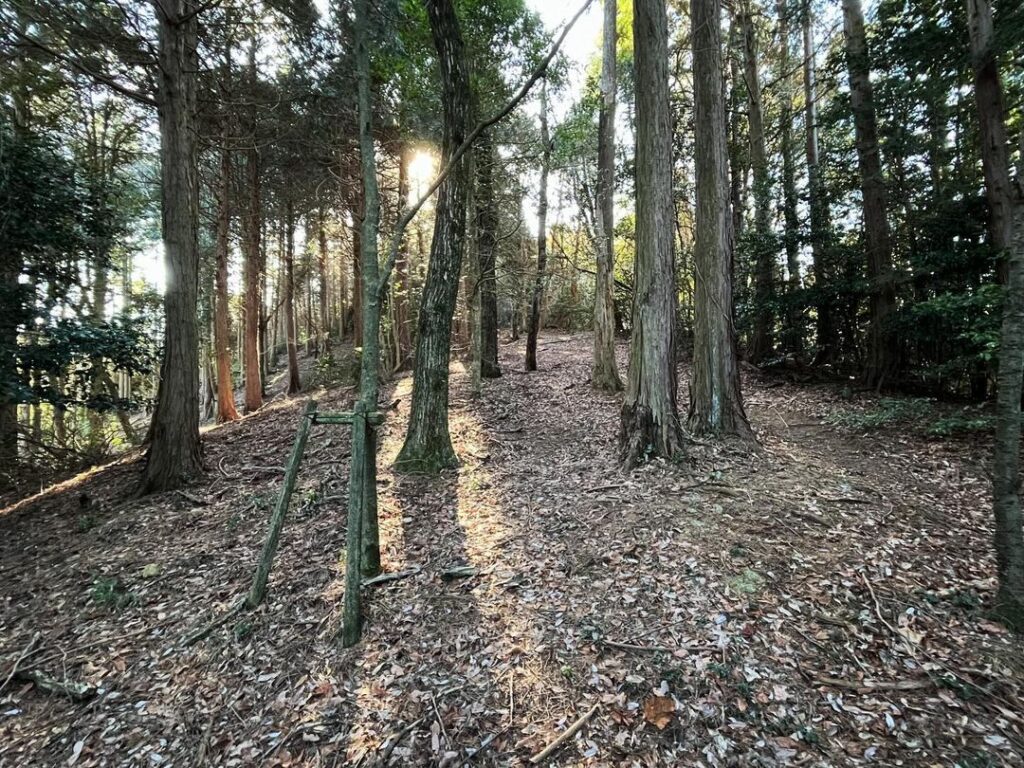
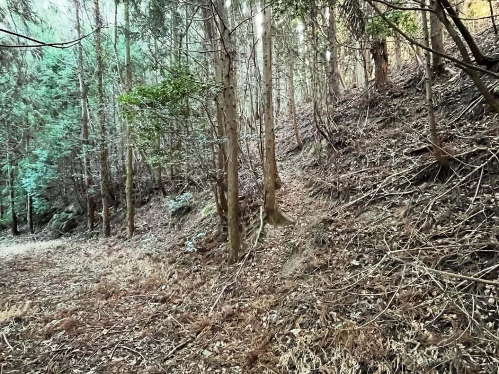
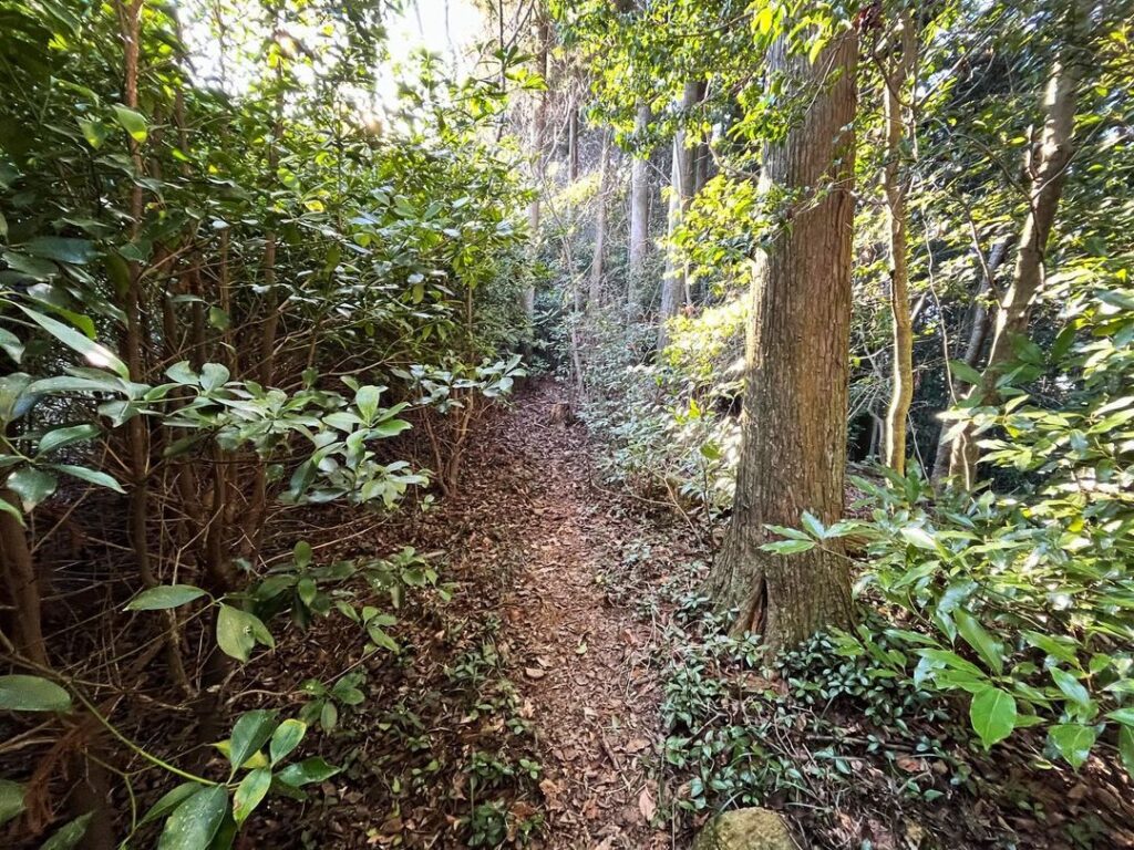
しばらく遊歩道として整備されている道を歩き、それから杉林へ突入していきます。
踏み跡は比較的しっかりとしています。
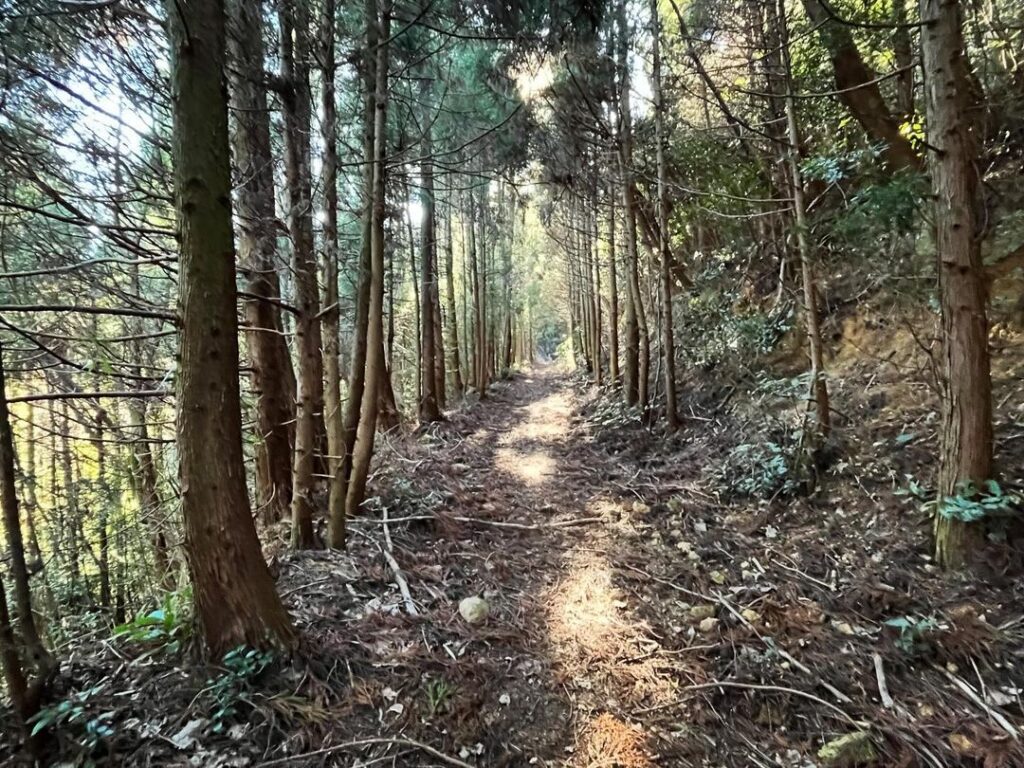
しばらくすると、立派な林道へ。
とはいっても、少し進んだところから尾根に向いて上がります。
帰りがわかりにくいので、上ったところにピンクテープを巻いておくとよいです。
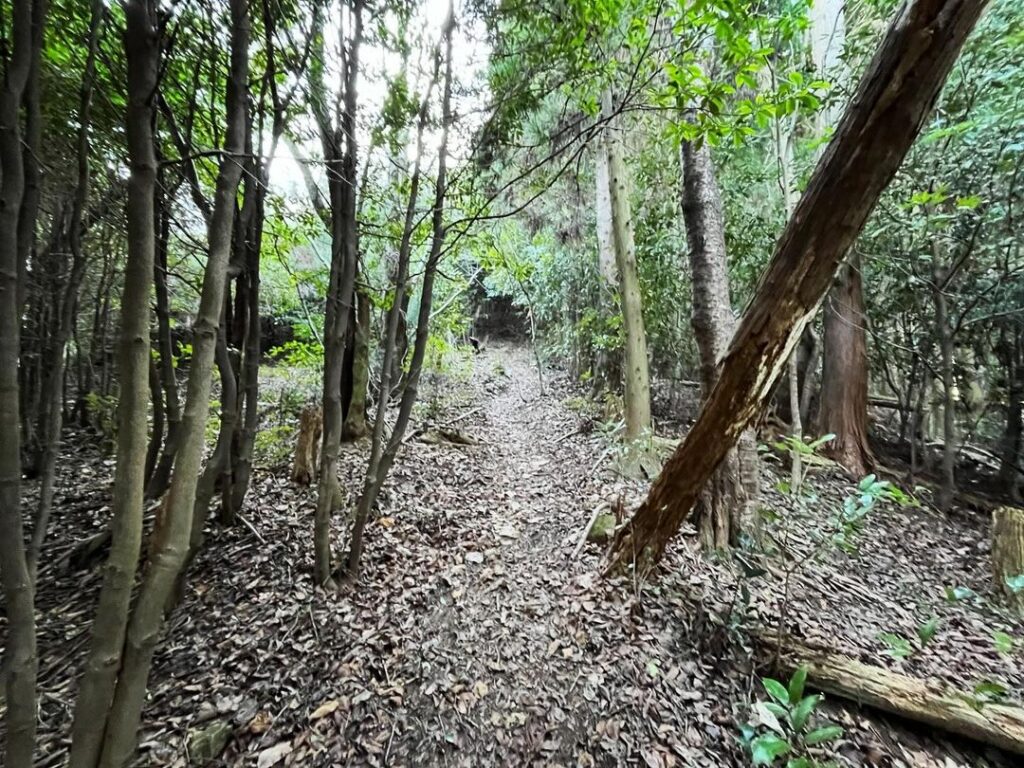
ここからは踏み跡をしっかりと見ながら登っていきます。
傾斜は少しあるので、ゆっくり登っていきます。
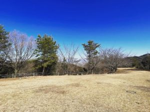
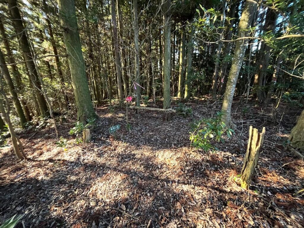
登り切ると、広めのスペースが。
丸太で作った椅子らしきものも。
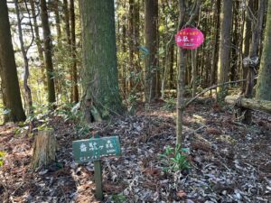
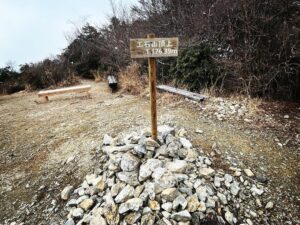
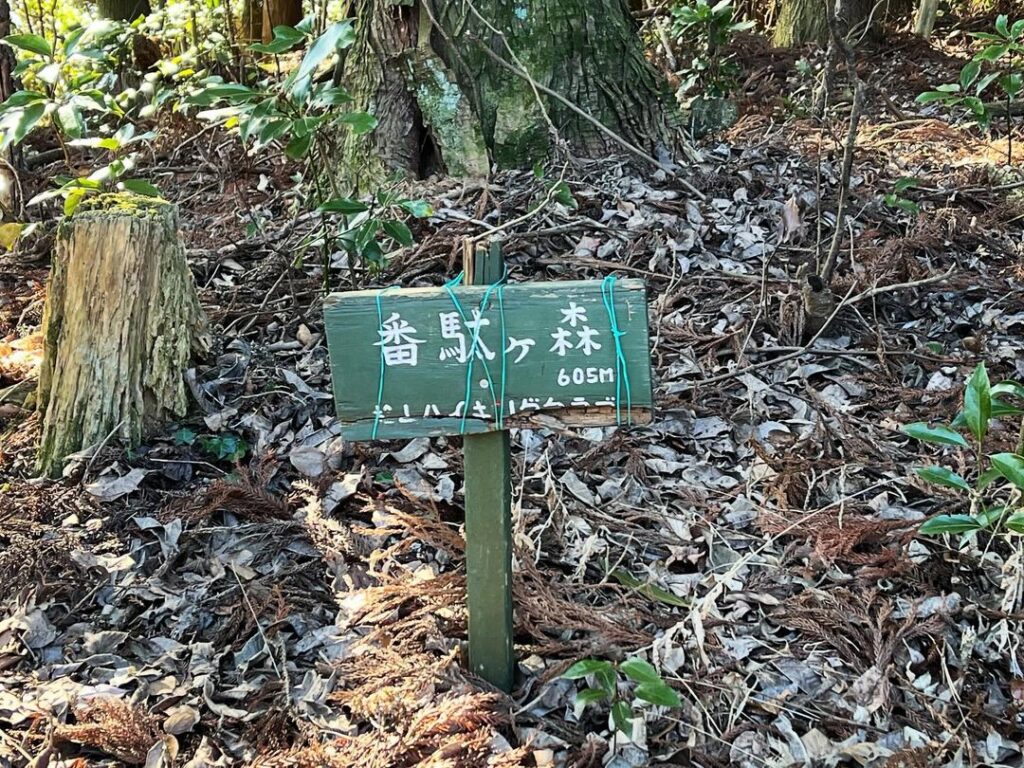
山頂には番駄ヶ森の標識が2つありました。
松山ハイキングクラブとキティ山岳会の標識です。
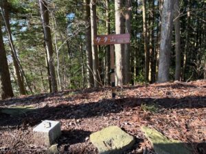
少し休憩して、ケタ山に向かいます。
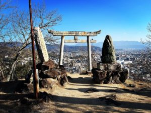
ここから見る夜景もきれいです
左側の道からもう少し先に進むと駐車場がありますが、ここから登るのがお薦め!
少し先に尾根への登り道の踏み跡がありますので上がります
落ち葉で滑るので要注意
ここを登り切ると山頂に
#番駄ヶ森
#ばんだがもり
#標高605m
#番駄之峯
#塩ヶ森ふるさと公園
#愛媛の小山登り
#小山登り
#愛媛県
#東温市
#塩ヶ森
Today we started from the parking lot at the top of Shiogamori Furusato Park.
We headed in the direction of Bandagamori, the opposite side of Shiogamori, which had been on our minds for some time.
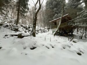
We walked along a well-maintained promenade for a while and then entered a cedar forest.
The trail is relatively well-marked.
After a while, you will come to a nice forest path.
However, the path heads up toward the ridge after a short distance.
Since it is difficult to find your way back, it is a good idea to wrap a piece of pink tape around the place where you went up.
From this point on, you will climb up the trail, following the footprints closely.
The slope is a little steep, so climb slowly.
When you reach the top, you will find a large space.
There is also what looks like a chair made from a log.
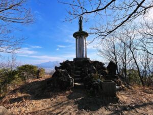
At the summit, there were two signs for Bandagamori.
These are signs for the Matsuyama Hiking Club and the Kitty Alpine Club.
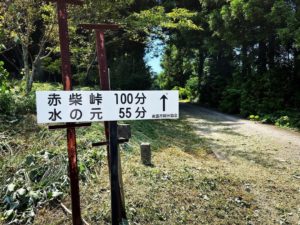
After a short rest, we headed for Mt. Keta.
塩ヶ森ふるさと公園 山頂駐車場のMAP
番駄ヶ森、ケタ山、大磨山の登山口
番駄ヶ森のMAP