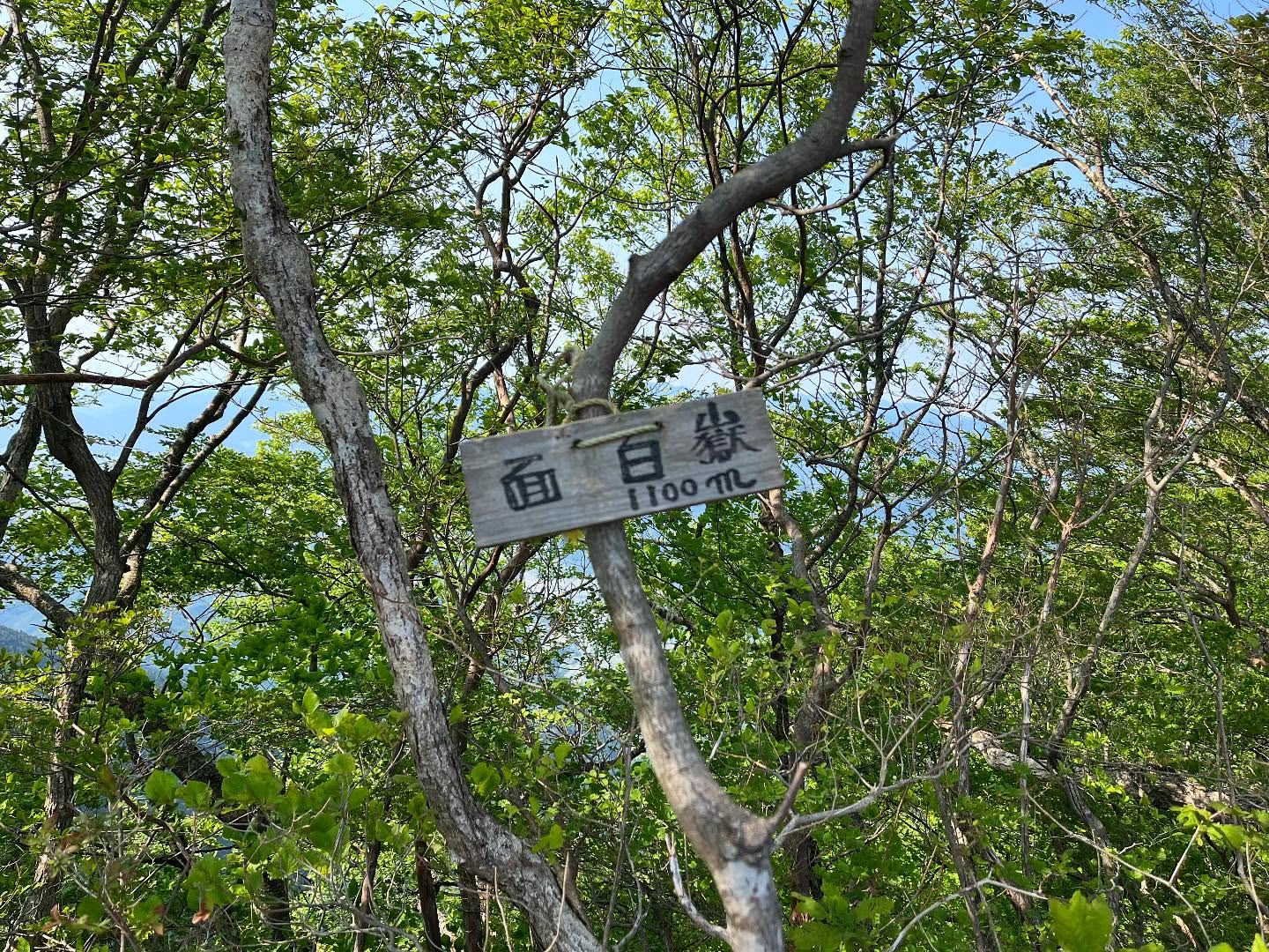
面白嶽 伐採で景色が広がりました(愛媛県東温市・愛媛県久万高原町)標高1100m(標高1148.8m)
皿ヶ嶺連峰で、唯一山頂を踏んでいないお山がありました。
面白嶽と書いて「つらしろだけ」と読みます。
もしかしたら山頂を踏んでいたのかもしれませんが、たぶん、当時は知らないピーク。
なんとなく、トラバースしたような記憶も。
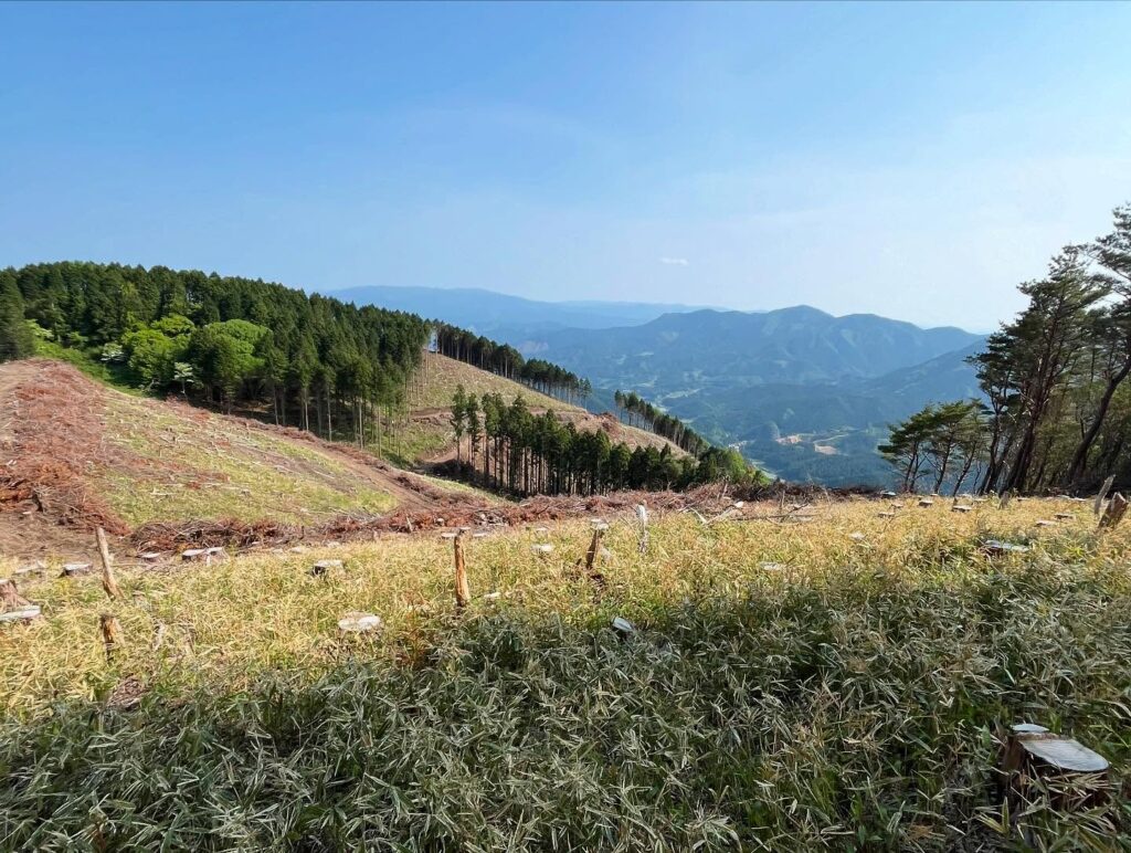
面白嶽周辺が伐採されたようで、景色も良いとか。
とういうことで、あらためて行ってみます!
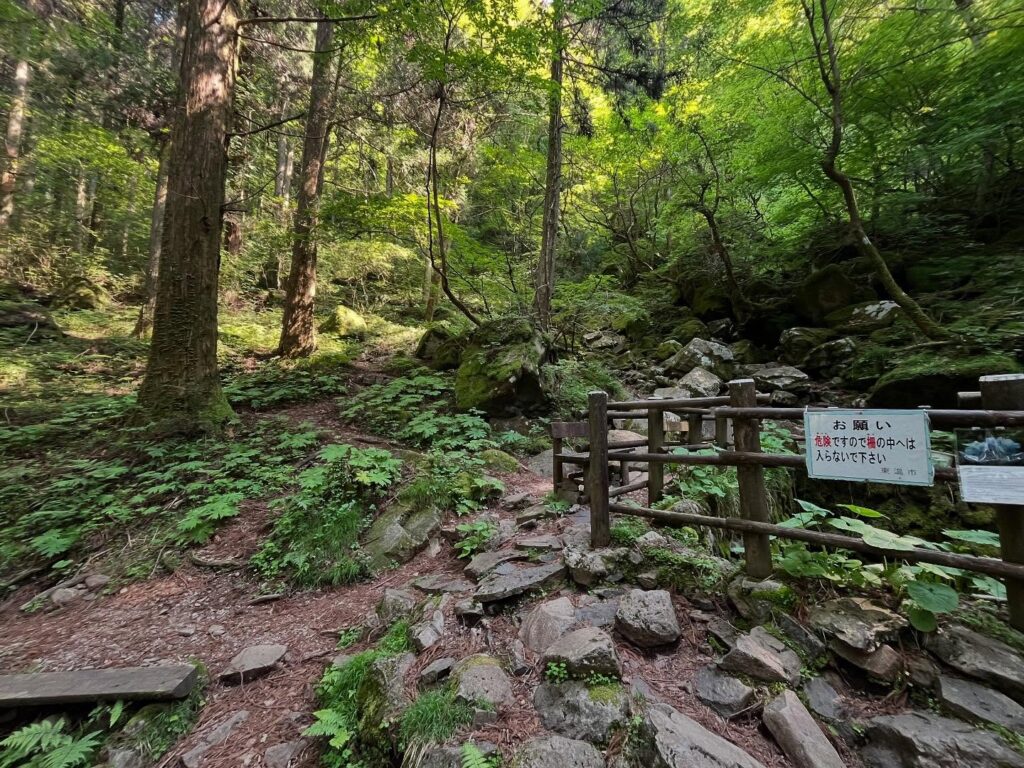
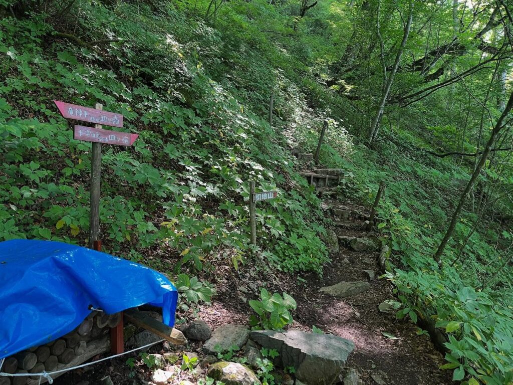
本日は風穴登山口からスタート。
冬の間は、上林の鉄塔登山口から登っておりましたので楽チンです!
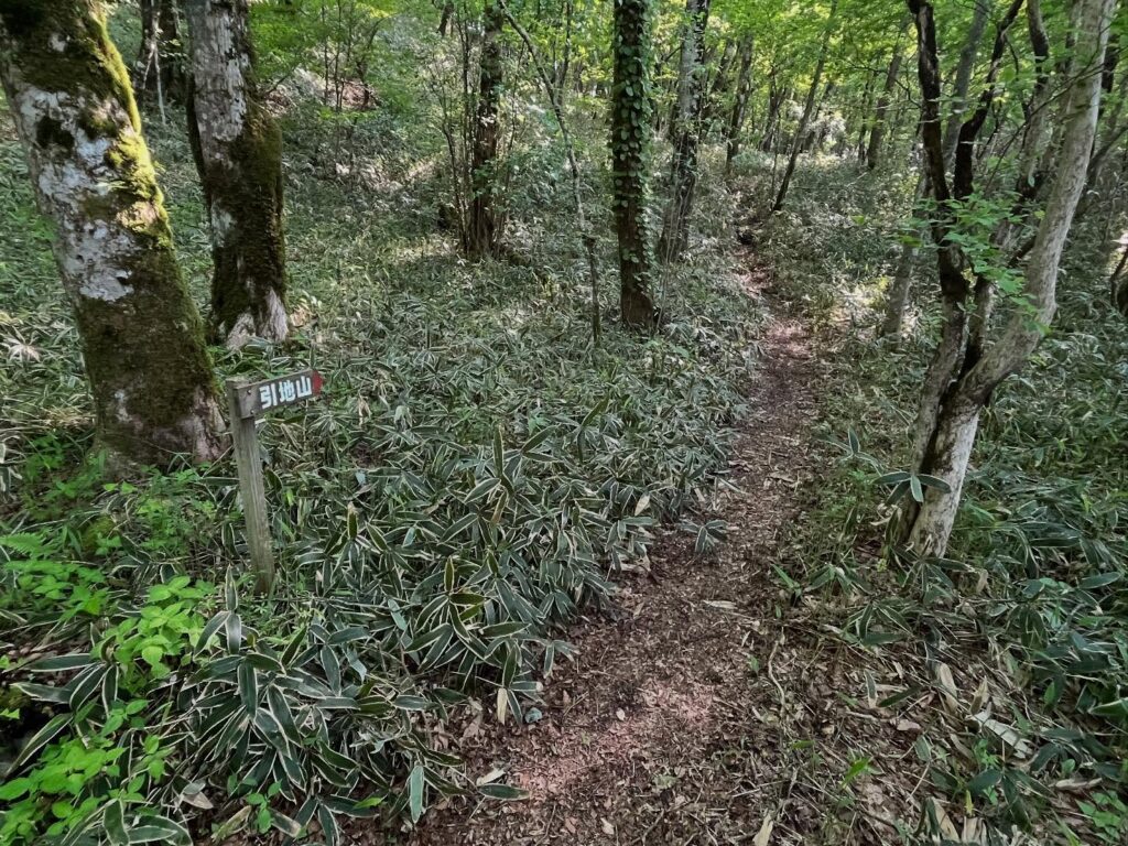
竜神平と引地山の分岐点から、引地山方面に向かいます。
階段状の急登が続きますが、慣れるとあっという間ですね。
十字峠と引地山の分岐点から引地山方面に進みます。
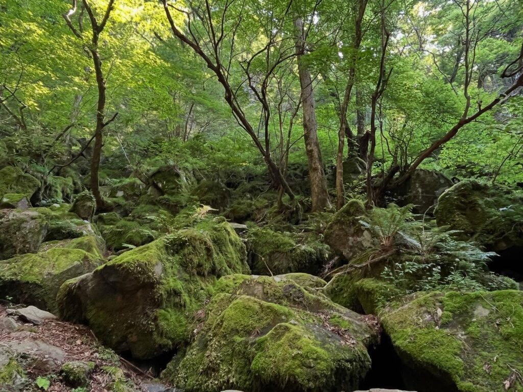
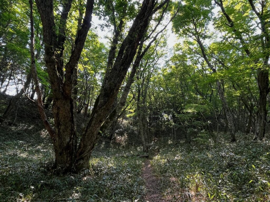
少し開けた広場のような場所があり、新緑の緑がきれいです。
尾根に出て、十字峠からの尾根道と合流します。
少し進むと、ピークに進む道とトラバース道の分岐点に。
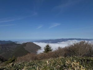
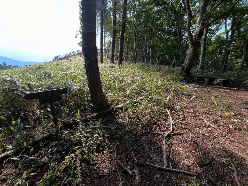
なんと、ここから笹原が広がります!
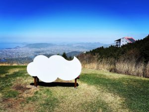
以前の記憶では鬱蒼としていたのですが、木々が伐採されて、驚くほどの解放感!
ピークに進んでいきます。
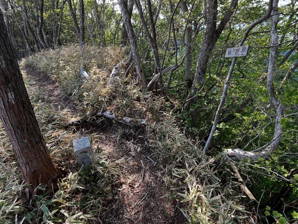
小さなピークがありますが、ここは面白嶽ではありません。
すぐ先に見える、もう少し高いピークが、面白嶽です。
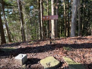
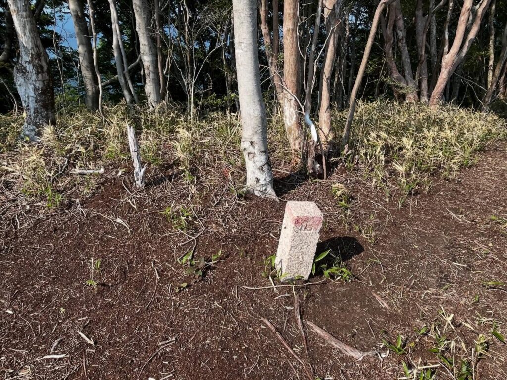
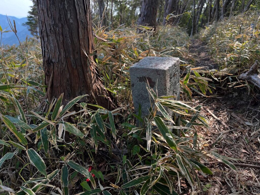
三角点だと思われる石柱。
そして、どなたかがかけてくれた小さな面白嶽の標識がありました。
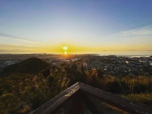
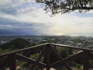
尾根部分を除いて、木々が伐採されているため、気持ち良い景色が広がっています。
実は標識のある反対側を見下ろすと、断崖絶壁。
木々がなければ、かなり怖い場所でもあります。
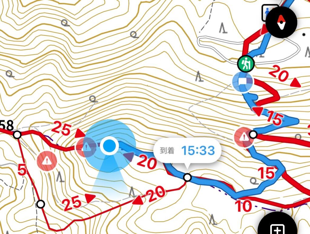
面白嶽から引地山に向かうと、有名なかなりの急坂となります。
今日の目的は面白嶽ピークですのでここまで。
切り株に腰かけて、景色を眺めながらおやつを食べて戻りました。
片道40分弱のお散歩登山でした。
※標識には標高1100mと書いてありましたが、(標高1148.8m)ってどこの情報なのだろう?と調べ直したところ、「山と山渓オンライン」の記事でした。どちらが正しいのでしょう?
確かにYAMAPの標高を見ると1150mあたりですね。
https://www.yamakei-online.com/cl_record/detail.php?id=20063
YAMAPの投稿で見ていましたが、いつの間にこんなことに
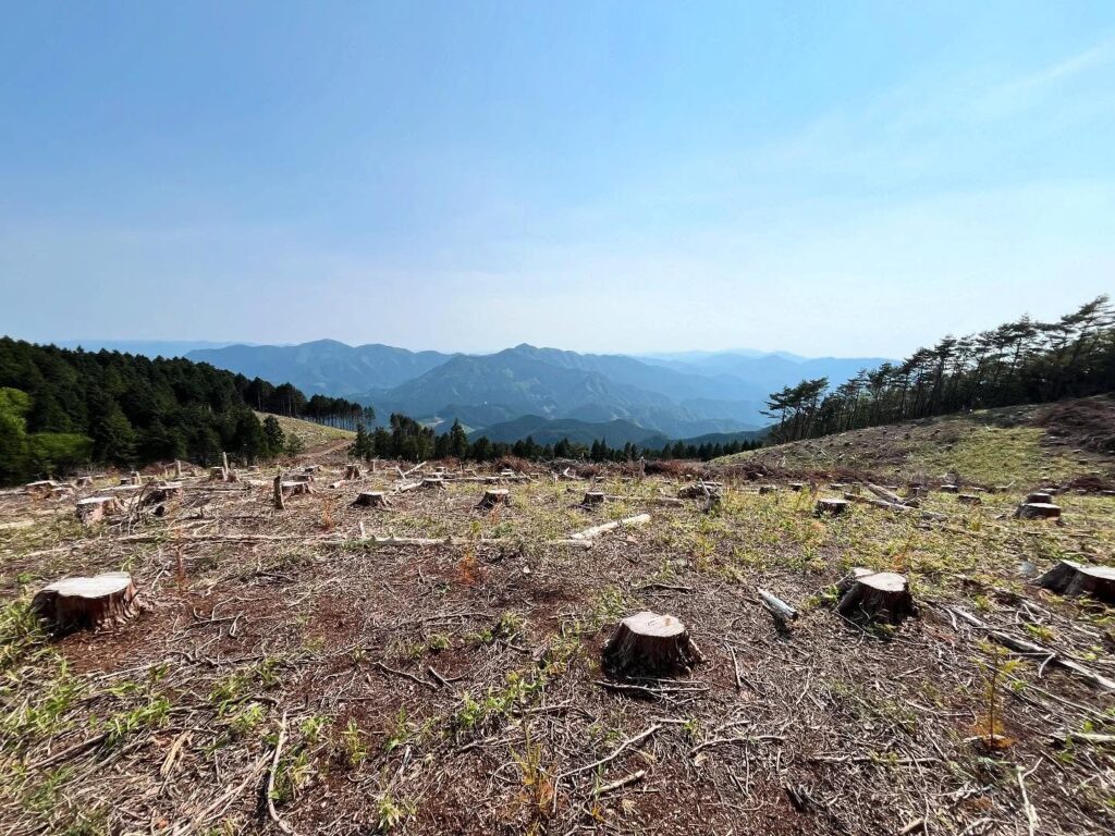
伐採されて切り株だらけです

笹原が広がってとてもきれいです

木々がなかったらかなり怖そう
40分弱のお散歩登山でした
この先の等高線の密さで、いかに急降下の難所かがわかりますね
#面白嶽
#つらしろだけ
#標高1100m
#引地山
#皿ヶ嶺
#風穴
#愛媛の小山登り
#小山登り
#愛媛県
#東温市
#愛媛県
#上浮穴郡
#久万高原町
#お散歩登山
In the Saragamine mountain range, there is only one mountain whose summit has not been reached.
It is written “Omoshidake” and reads “Tsurashiro-dake.
I may have stepped on the summit, but I probably did not know about the peak at the time.
Somehow, I also remember traversing it.
I heard that the area around the peak has been logged and the view is good.
So, we decided to go there again!
Today, we started from the Kazaana trailhead.
During the winter, we had been climbing from the Kangabayashi pylon trailhead, so it was easy to get there!
From the junction of Ryujin-daira and Hikichi-yama we headed in the direction of Hikichi-yama.
A steep stair-like climb continues, but once you get used to it, it will be over in no time.
From the junction of Jujitoge and Hikichi-san, we headed in the direction of Hikichi-yama.
There is an open space with beautiful fresh greenery.
You will reach a ridge and merge with the ridge trail from Jujitsu Pass.
A little further on, you will come to a junction between the path to the peak and a traverse path.
To our surprise, a field of bamboo grass spreads out from here!
I remember it being dense in the past, but the trees have been cleared and it feels surprisingly liberating!
Continue on to the peak.
There is a small peak, but it is not Mt.Tsurashiro.
A little higher peak you can see just ahead is the peak of Omojitake.
A stone pillar that seems to be a triangulation point.
There is a small sign that someone put on the peak.
Except for the ridge part, the trees have been cleared, so there is a pleasant view.
In fact, if you look down the other side where the sign is, you will see a precipitous cliff.
Without the trees, it would be quite a scary place.
From Tsurashiro-dake to Hikichi Mountain, the slope is famously quite steep.
Our goal for today is Tsurashido-dake Peak, so this is as far as we go.
We returned to sit on a stump and have a snack while admiring the view.
It was a less than 40-minute one-way stroll up the mountain.