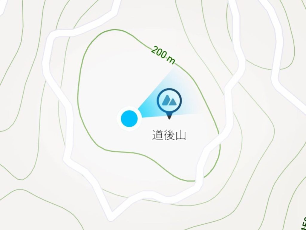
聖徳宮・道後山(愛媛県松山市)標高223m
道後・石手エリアで、登り残しの道後山に行ってきました。
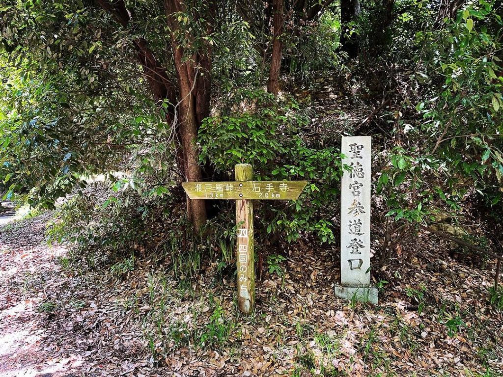
瀬戸風峠から、四国のみちをくだっていきます。
途中で2方向に道が分かれますが、こちらは左側の登り道を選択します。
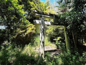
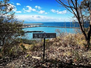
聖徳宮参道登口の石碑が目印です。
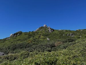
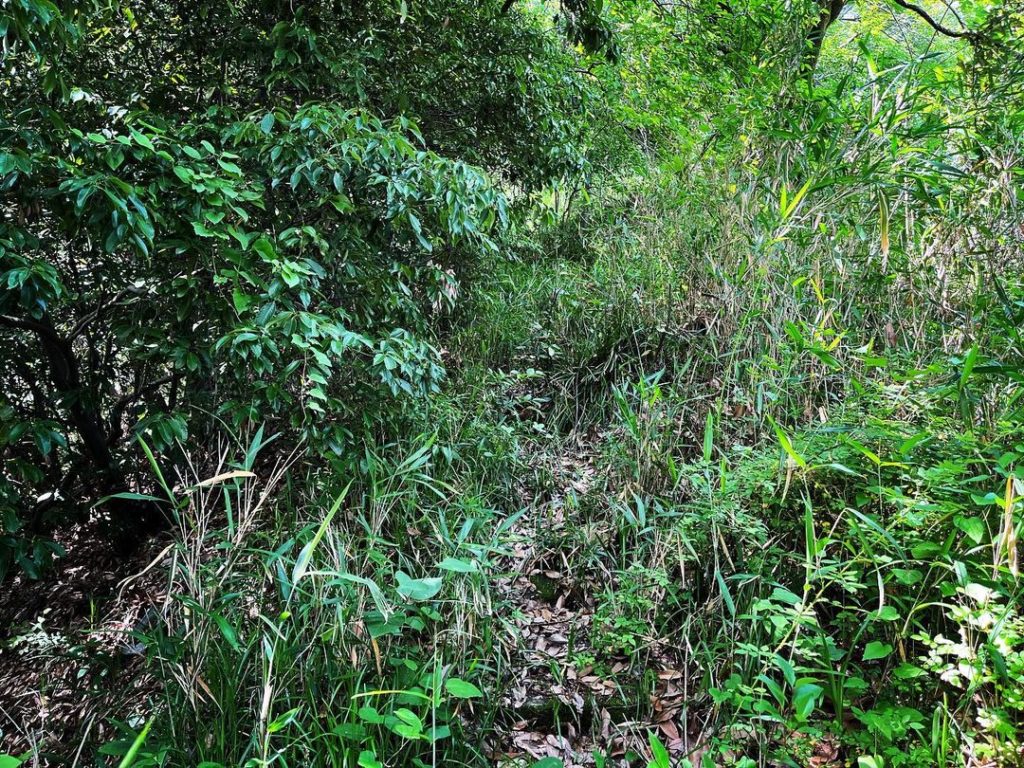
藪道ですが、意を決して登っていきます。
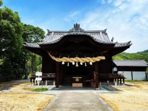
聖徳宮の情報があまりにも少ないのですが、敬愛する「お山へ行こう!」の情報によれば
大正時代に神託を受けた女性が古墳時代の石棺を発掘したことに始まる不思議なお宮
とのこと。よく意味がわかりません…
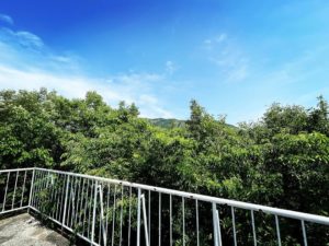
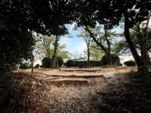
藪道ですが、山頂にはすぐに着きます。
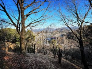
南側に三角点があるそうですが、藪がすごいのと、祠が多く、畏れ多くて探しきれませんでした。
#道後山
#標高223m
#聖徳宮
#しょうとくぐう
#聖徳宮神社
#四国のみち
#愛媛の小山登り
#小山登り
#愛媛県
#松山市
In the Dogo/Ishide area, we went to Mt.Dogo.
From Setokaze Pass, you will go down the Shikoku no michi (road to Shikoku).
On the way, the path splits into two directions, but we chose the uphill path on the left.
A stone monument at the entrance to the Seitoku-gu Shrine approach marks the way up.
The path is a bush path, but we willingly climbed up the path.
There is not much information on Shotoku-gungu, but according to the information on the beloved “Let’s go to the mountain! but according to the information from the esteemed “Let’s go to the mountain!
According to the information from “Let’s go to the mountain!
I’m not sure what that means… I don’t really know what that means…
It is a bush path, but you will reach the summit soon.
I heard that there is a triangular point on the south side of the mountain, but there are so many bushes and shrines that I was too in awe to look for it.