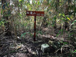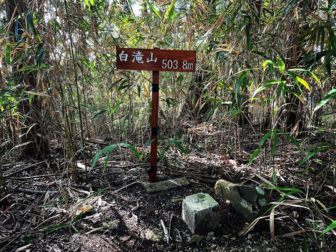
白滝山 少し登れば障子山の眺望が楽しめます(愛媛県伊予市、愛媛県伊予郡砥部町)標高503.78m
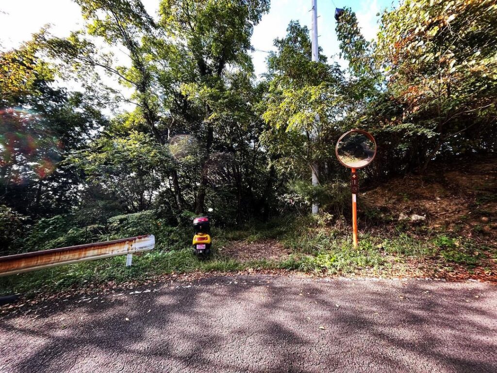
県道53号、鵜の崎峠から少し伊予市側に下りたところ、カーブミラーがある場所が、白滝山の登山口です。
思ったより障子山に時間がかかってしまい、既に15時。
白滝山、権現山の往復が2~3時間と聞いていて、悩みどころです。
とりあえず、白滝山に登って考えることに。
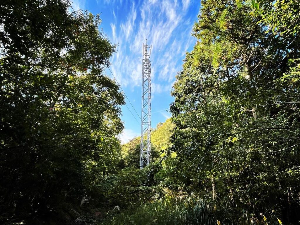
登山道から入るとすぐに携帯電話の電波塔らしきものが。
この裏の薮を抜けて登っていきます。
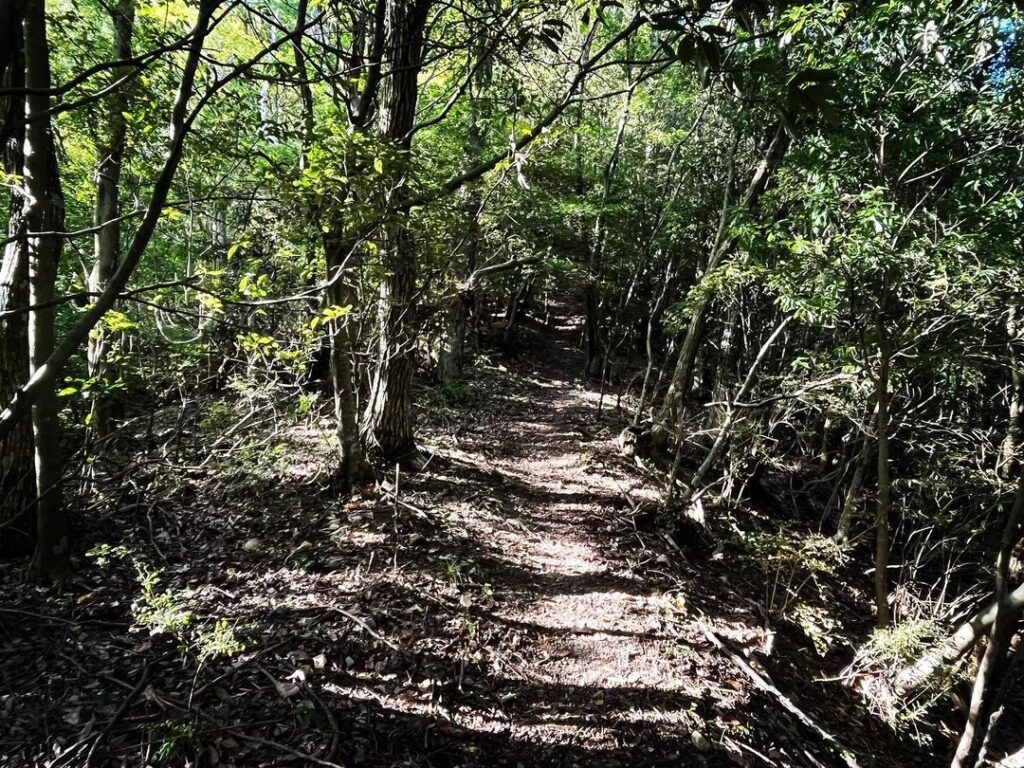
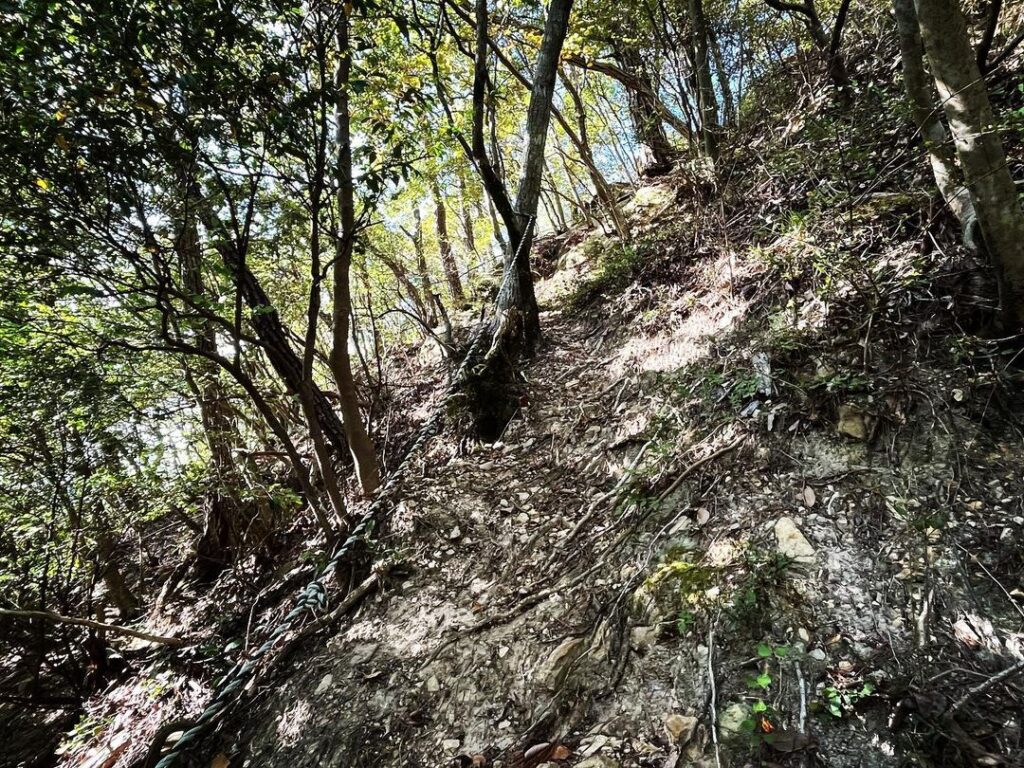
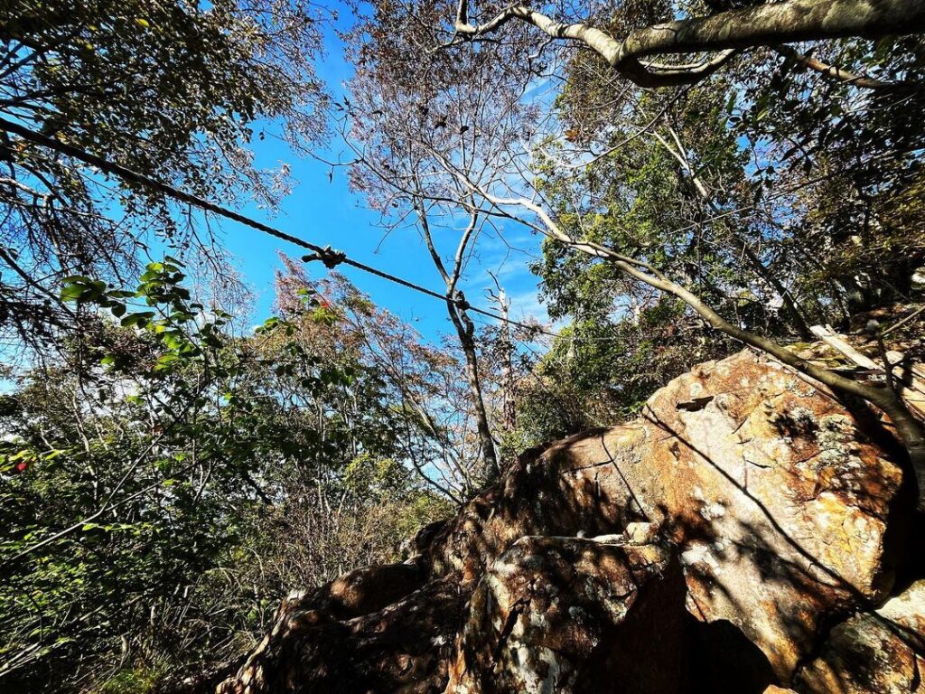
木々の間の登山道を少し登ると、岩場に。
ロープを張ってくれており、下りの時に役立ちます。
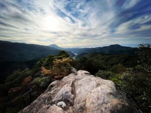
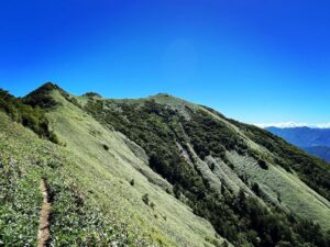
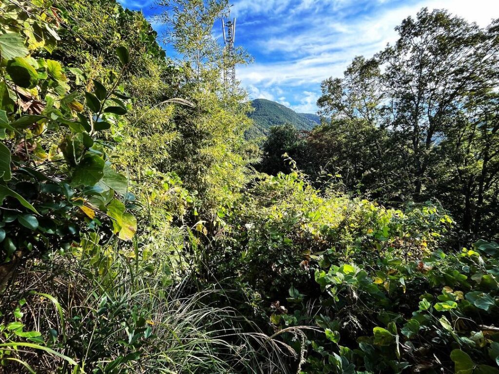
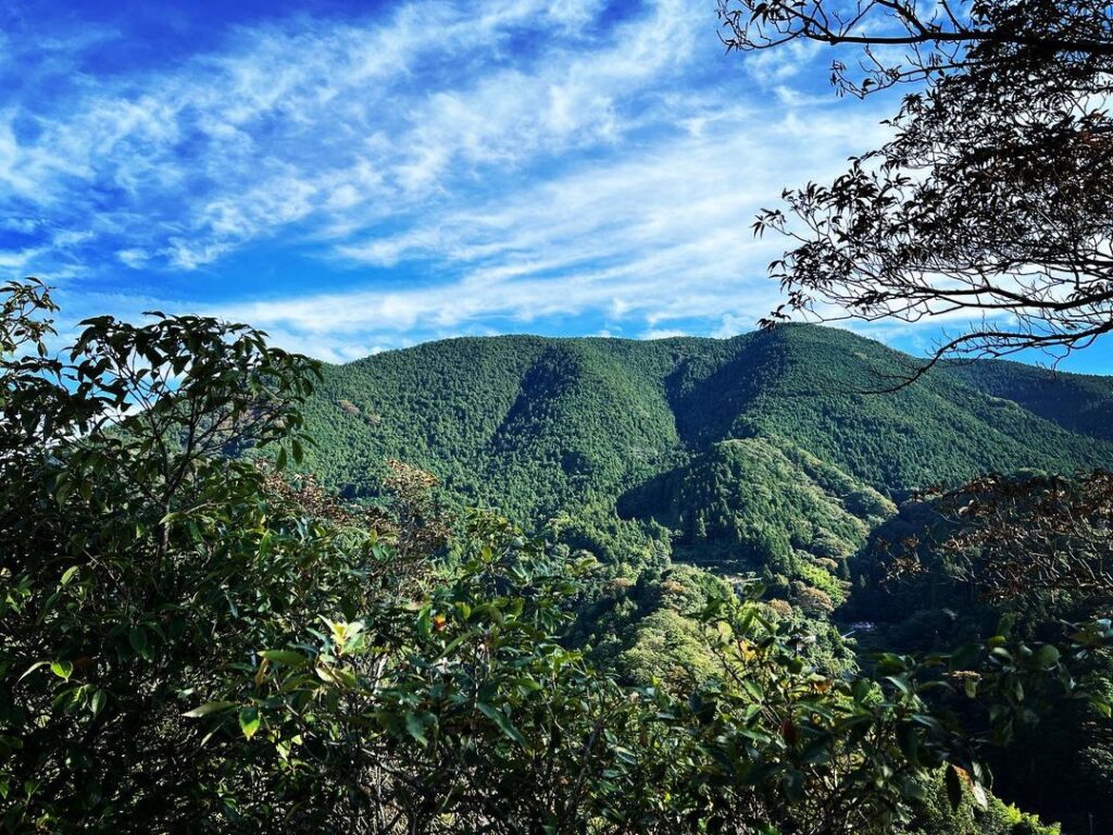
尾根に登ると展望ゾーンに。
障子山がとてもきれいに見えます。
障子山山頂は展望がないので、ここの眺望を楽しみましょう。
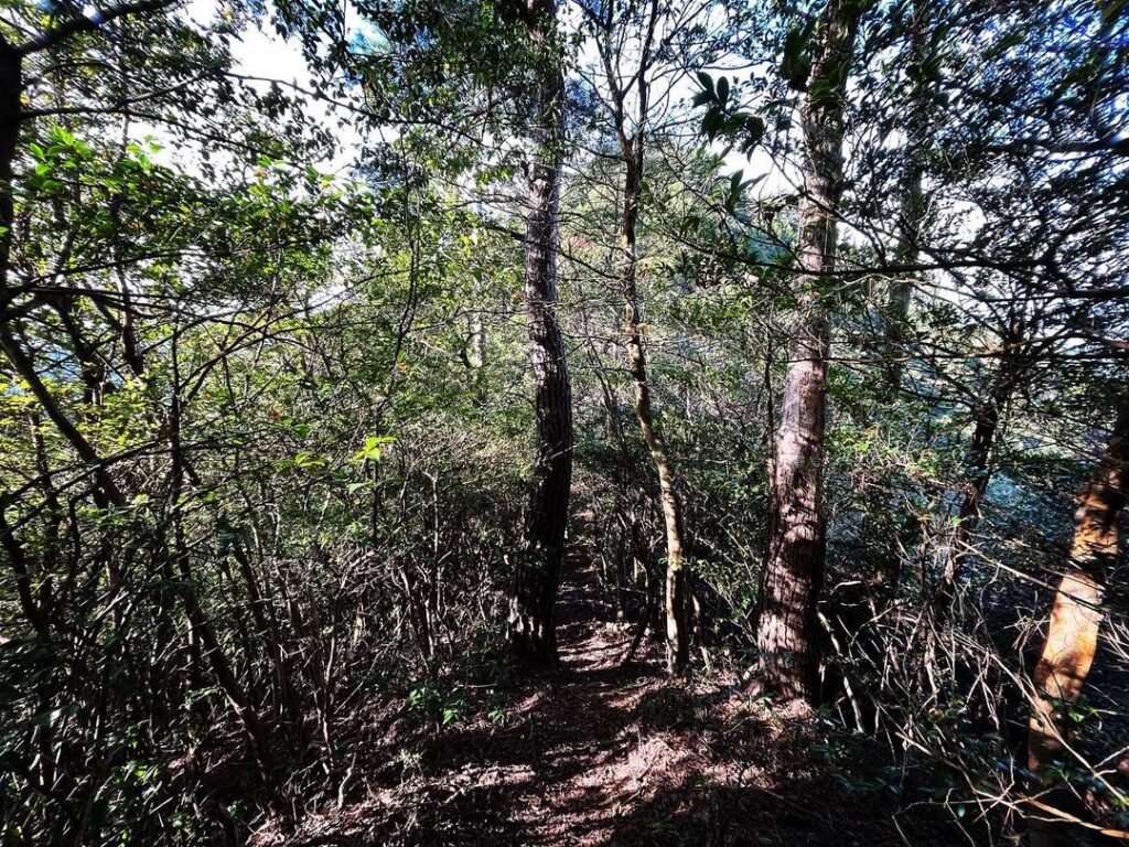
尾根伝いに山頂を目指します。
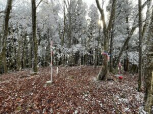
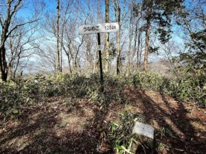
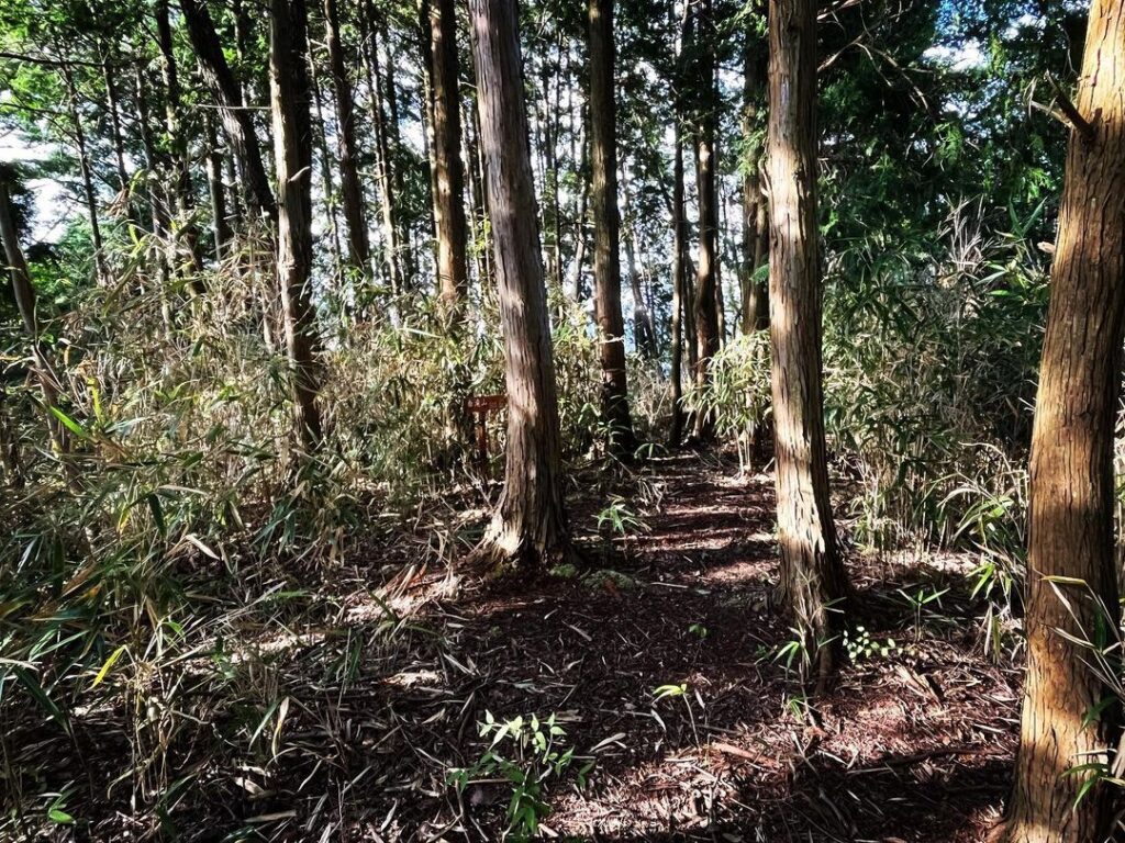
山道、笹のトンネルを抜けると尾根の広場に。
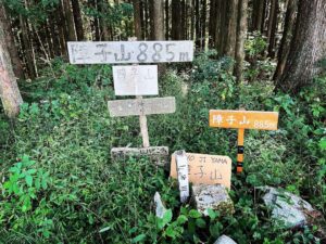
白滝山山頂の標識と三角点があります。
眺望はありません。
登り始めて30分、時間は15時半。
思い切って、権現山を目指します。
日没に間に合うかな?

#白滝山
#しらたきやま
#標高503m
#愛媛の小山登り
#小山登り
#愛媛県
#伊予市
#鵜崎
#両澤
#砥部町鵜崎
#白滝城
#白瀧城
#三角点
#時間との勝負
#権現山
#障子山
Prefectural Road 53, a little down the Iyo City side from Unosaki Pass, where there is a curved mirror, is the trailhead for Mt. Shirataki.
It took longer than expected to get to Mt Gongen.
I heard that a round trip from the trailhead to Mt. Shirataki and Mt. Gongen takes 2 to 3 hours, so I was troubled.
For now, we decided to climb Mt. Shirataki and think about it.
As soon as we entered from the trail, we saw what looked like a cell phone tower.
We climbed up through the bushes behind this tower.
After a short climb on the trail between trees, we came to a rocky area.
A rope has been set up to help you on the way down.
Climbing up to the ridge, you will reach a viewing zone.
Mt. Shoji can be seen very beautifully.
There is no view from the top of Mt Shoji.
Follow the ridge to the summit.
After passing through a mountain path and a bamboo tunnel, you will reach a square on the ridge.
There is a sign and a triangular point at the summit of Mt. Shirataki.
There is no view.
Thirty minutes into the ascent, the time is 15:30.
We will take the plunge and head for Gongenzan.
Will we make it in time for sunset?
白滝山・権現山の登山口
白滝山のMAP