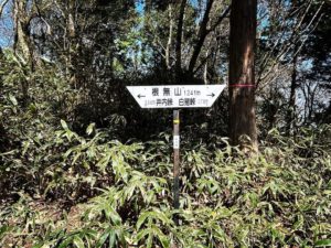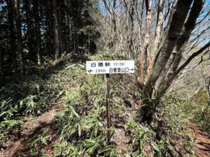
八里ヶ峠 はちりんがとう 気になる方だけチャレンジしてみてください(愛媛県松山市)標高182.36m
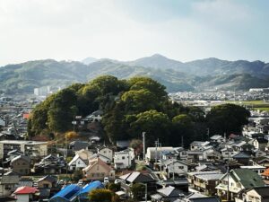
さて、次は八里ヶ峠を目指します。
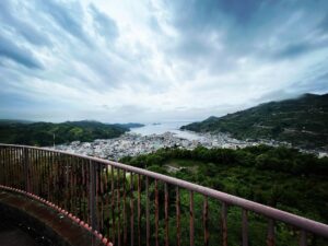
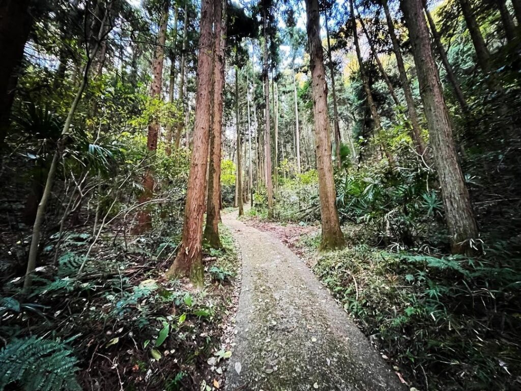
平田町からバイパスに入らず、住宅地を抜け、ため池を抜け、山を登っていきます。
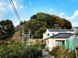
車でいける道の限界点から、道幅が一気に狭くなります。
スクーターなら登っていけます。
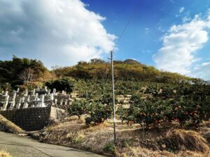
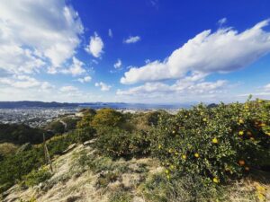
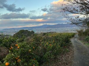
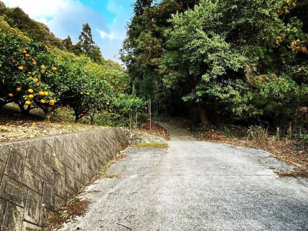
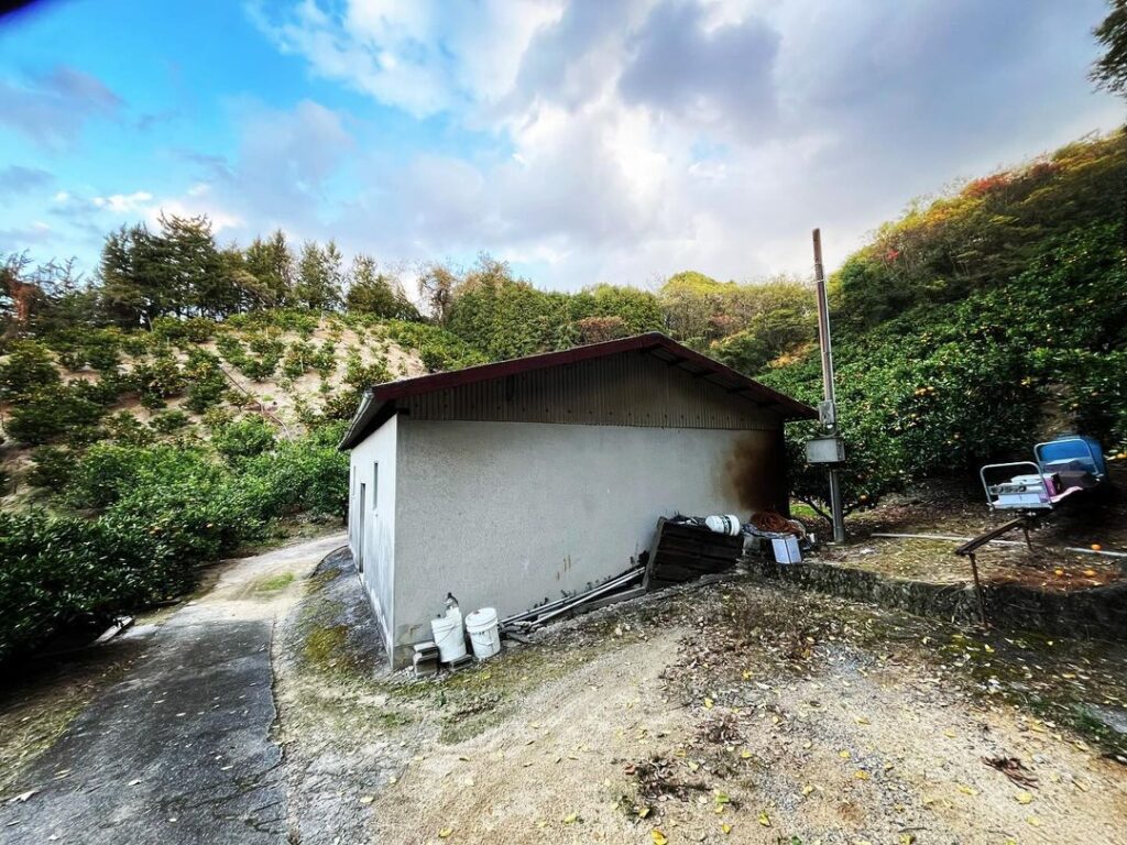
杉林を抜け、みかん畑に。
みかん小屋を過ぎて少し登ると、その細道も終点に。
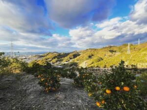
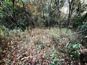
ここから、みかん畑の上を横断して、山の中に入ります。
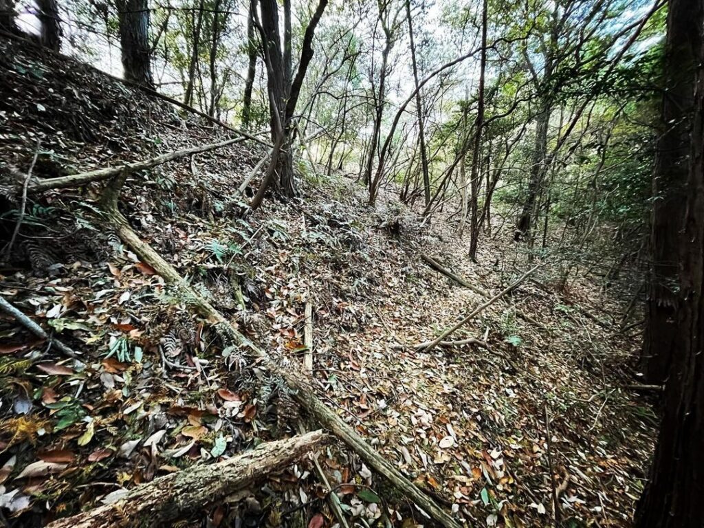
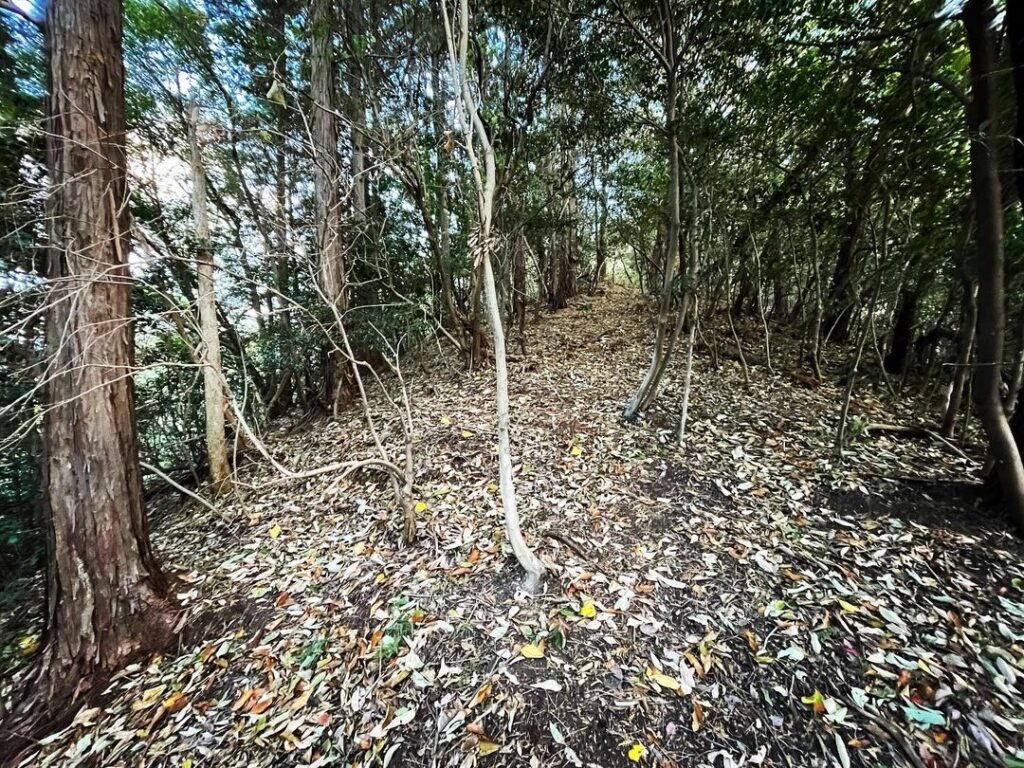
踏み跡を辿ってしばらく進み、そこから尾根に登ります。
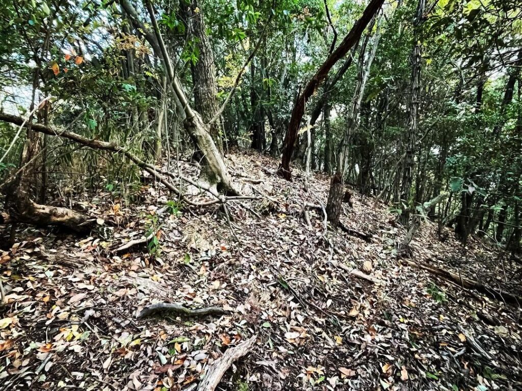
尾根は歩きやすくなっています。
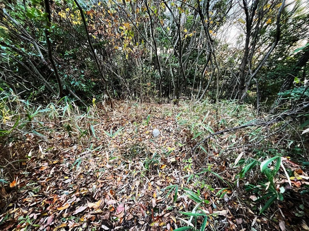
が、山頂直前では薮となります。
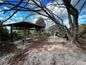
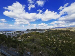
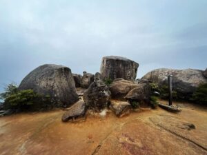
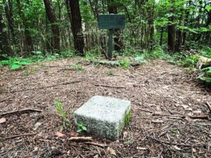
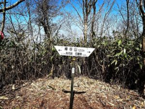
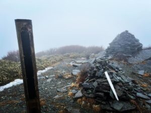
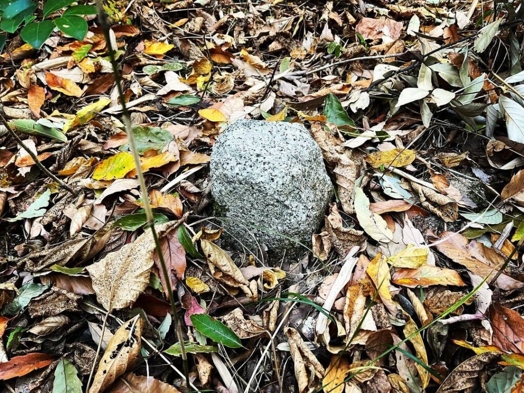
隙間を抜けて、無事に八里ヶ峠の山頂に。
標識はありませんが、三角点がありました。
この三角点、角が丸まってかわいいのですよね。
スクーターもしくは徒歩で!
一気に傾斜がきつくなるので、スクーターはここで終了です
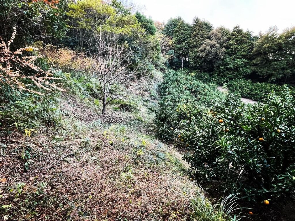
みかん畑の上を横切り、奥の林の中に入ります
かなり年季が入って丸くなっていてかわいいですね
#八里ヶ峠
#はちりんがとう
#標高182m
#愛媛の小山登り
#小山登り
#愛媛県
#松山市
#三角点
#みかん山
#谷町平田町8低山
Now, the next goal is to reach Hachiriga-Tou.
Instead of taking the bypass from Hirata-cho, we will pass through a residential area, past a reservoir, and up a mountain.
From the limit of the road accessible by car, the width of the road narrows at once.
Scooters can climb up the mountain.
After passing through a cedar forest, you will come to a tangerine field.
After passing a tangerine hut and climbing a little, the narrow road comes to its end.
From here, the path crosses over the mandarin oranges and enters the mountain.
Follow the footprints for a while and then climb up to the ridge.
The ridge is easy to walk on.
However, just before the summit, it becomes a bush.
Passing through a gap, you will safely reach the summit of Hachiriga-Tou
There is no sign, but there is a triangular point.
This triangular point is cute with rounded corners.
八里ヶ峠の登山口
八里ヶ峠のMAP
谷町・平田町の8低山(だいたいです)近いのでセットで登ってみましょう♪