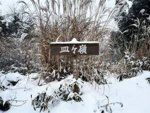
大友山 南山と北山のふたこぶ山 鞍部→北山(愛媛県松山市)標高407m
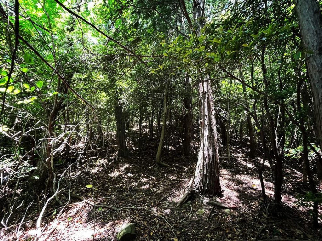
鞍部から、まずは大友山の北山を目指します。
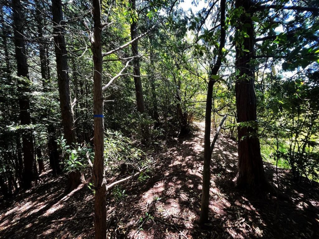
こちらは尾根を登っていけば良いのですが、傾斜はそこそこあります。
距離は比較的短いので、まずは北山からが良いと思います。
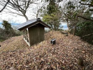
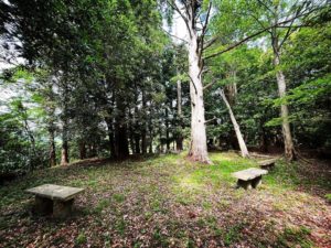
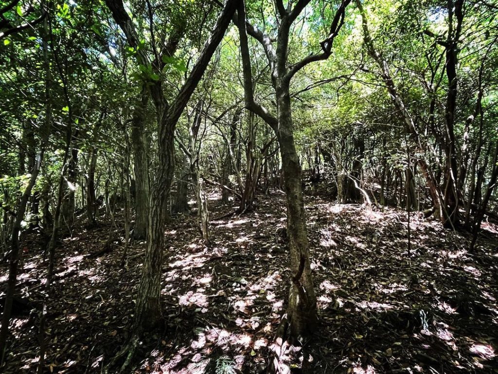
北山の山頂は広場になっています。
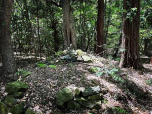
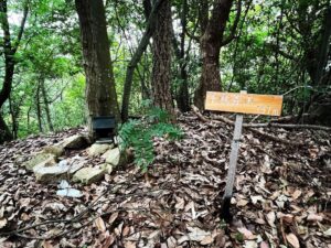
石積みの小さな丘の上に、神様が何体か鎮座されていました。
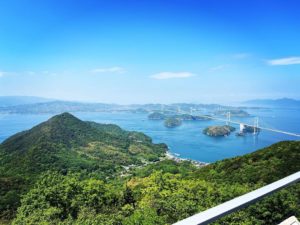
眺望はありませんので、ご挨拶をして戻ります。
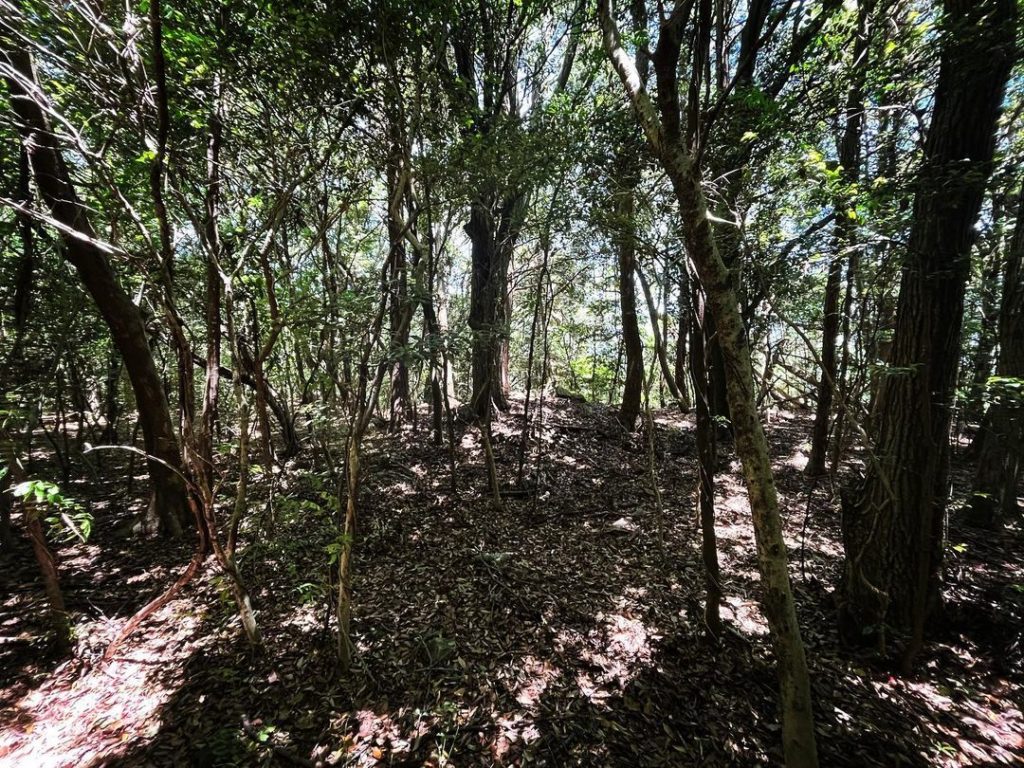
登ったルートを覚えておきましょう。
帰り道、尾根がわからなくなります。
YAMAPを見ていたのですが、かなり下側に降りてしまいました。
もう一度、登り直して鞍部に戻ります。
#大友山
#おおどさん
#標高407m
#北山
#鞍部
#フタこぶ山
#八坂寺
#浄瑠璃寺
#浄瑠璃町
#大戸城
#大戸城跡
#愛媛の小山登り
#小山登り
#愛媛県
#松山市
#YAMAP
#登ってはダメ
From the saddle, we will first aim for the northern peak of Mt.Oodo.
This one can be reached by climbing up the ridge, but the incline is quite steep.
Since the distance is relatively short, it is a good idea to start with Kitayama.
The summit of Kitayama is a square.
Several gods were seated on a small masonry hill.
There is no view, so we greeted them and returned.
Remember the route you climbed.
On the way back, you will lose track of the ridge.
We were looking at the YAMAP, but we went down quite a bit on the lower side.
Climb back up again and return to the saddle.
大友山の登山口
大友山のMAP(北山)