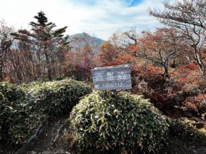
淡路ヶ峠 ガンバる赤シャツコース(愛媛県松山市)標高273m
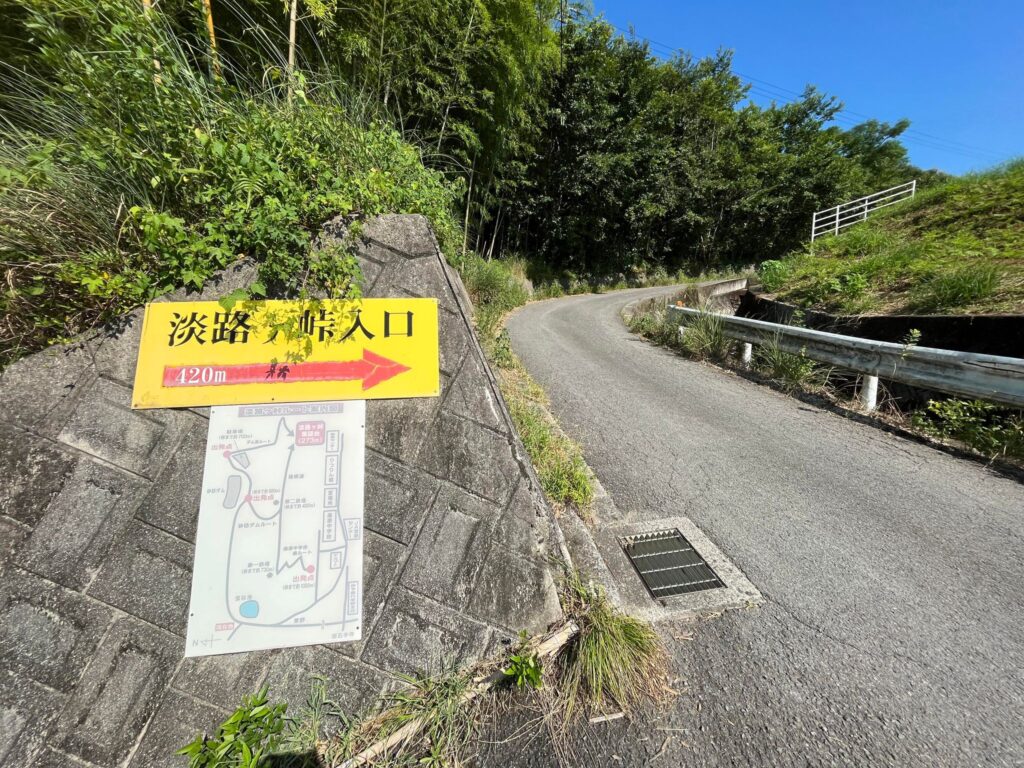
宝ヶ峯から稜線コースを降りてきたら、東野から入り直して「ガンバる赤シャツコース」で、淡路ヶ峠に登り直します。
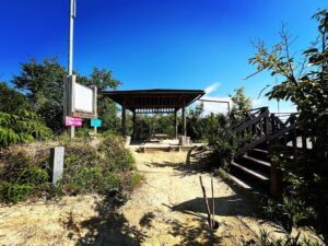
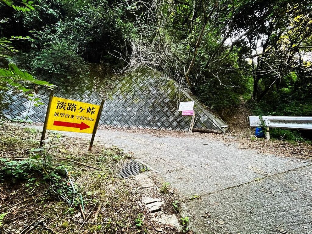
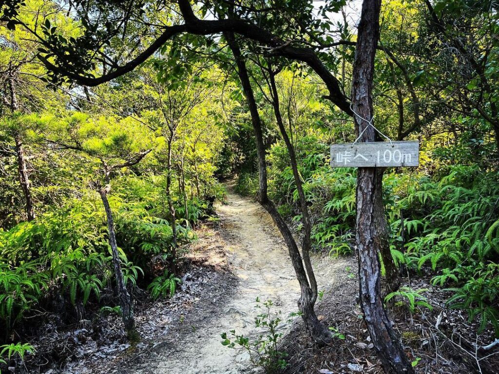
展望台まで880m。
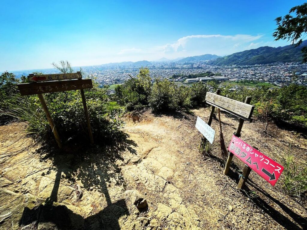
しばらく登ると、桑原中学校ルートの「青い空坊ちゃんコース」と合流します。
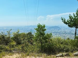
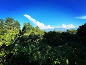
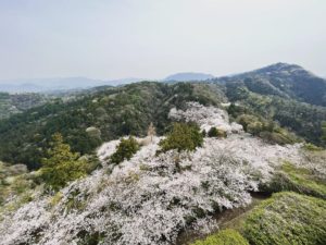
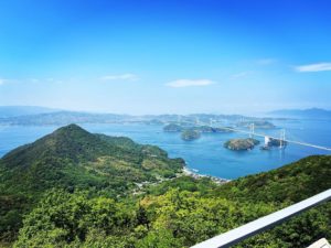
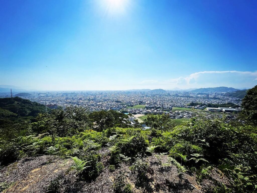
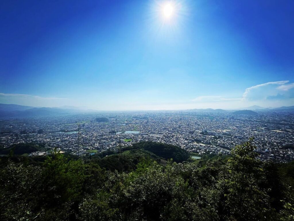
標高は低いですが、松山平野を平たく一望できる展望ゾーンです。
このコースは日向が多く、気温は38℃に!暑い!
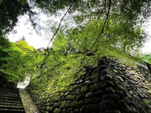
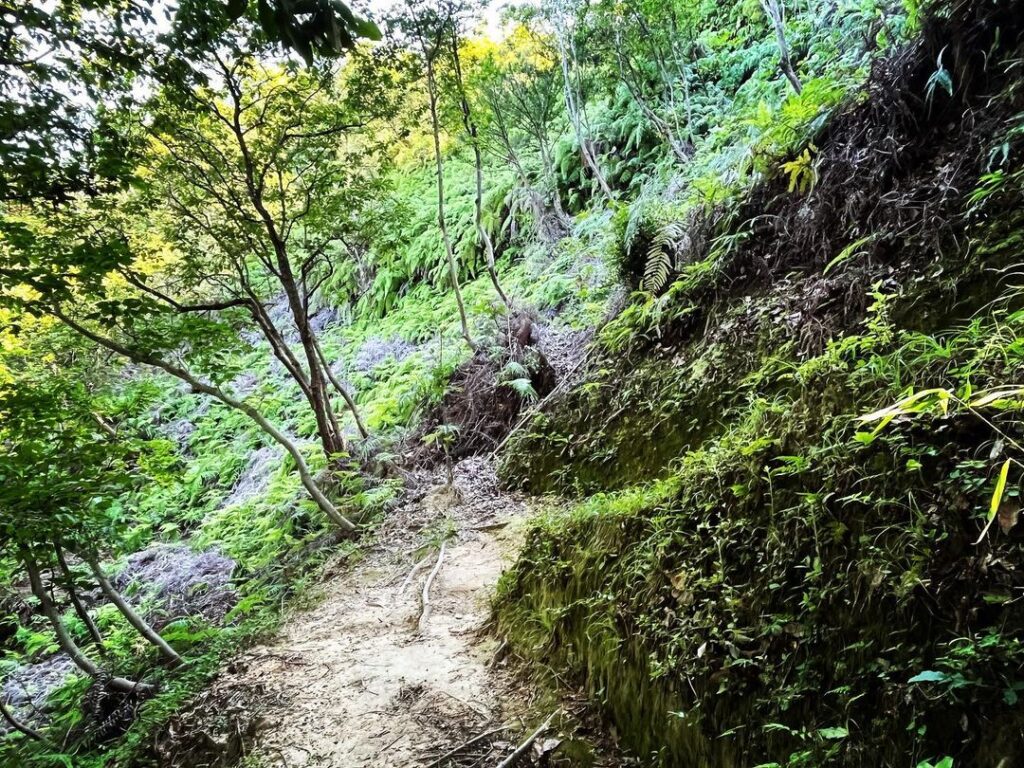
残り500mからは一気に傾斜がきつくなってきます。
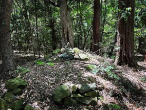
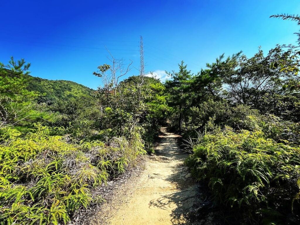
山登りしている感じが良いですね。
暑すぎるため、100m毎のポイントポイントで休憩、水分補給を重ねながら、ゆっくり登ります。
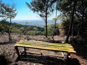
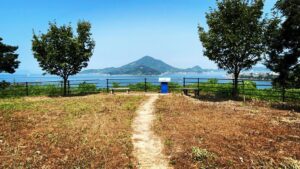
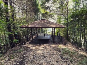
そして、山頂の展望台。
今日は独占でした。
いつ来ても、素晴らしい眺望です!
#淡路ヶ峠
#あわじがとう
#標高273m
#愛媛の小山登り
#小山登り
#愛媛県
#松山市
#東野
#ガンバる赤シャツコース
#青い空坊ちゃんコース
#展望台
When you come down the ridge course from Takaragamine, reenter from Higashino and take the “Gambaru Red Shirt Course” to climb back up to Awajiga Toge.
It is 880m to the observatory.
After climbing for a while, you will join the “Blue Sky Boy Course” on the Kuwabara Junior High School route.
Although the elevation is low, this observation zone offers a flat panoramic view of the Matsuyama Plain.
This course is mostly in the sun, with temperatures reaching 38°C! Hot!
From the remaining 500 meters, the incline becomes steeper and steeper.
It feels good to feel like you are climbing a mountain.
Because it is too hot, we climb slowly, taking a break at every 100m point point, and rehydrating ourselves repeatedly.
And then, the observatory at the summit.
Today was an exclusive one.
No matter when you come, it is always a great view!
淡路ヶ峠の入り口(東野側)
淡路ヶ峠の登山口(ガンバる赤シャツコース)
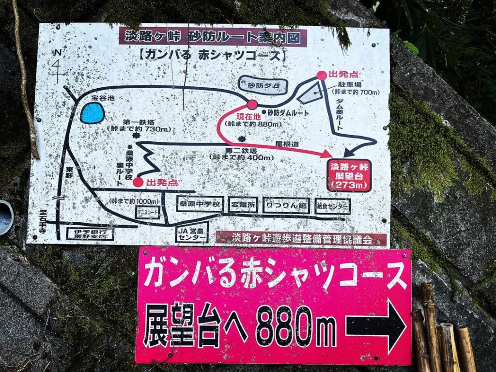
淡路ヶ峠のMAP